|
Free Campgrounds and Camping
CALIFORNIA CAMPGROUND DIRECTORY
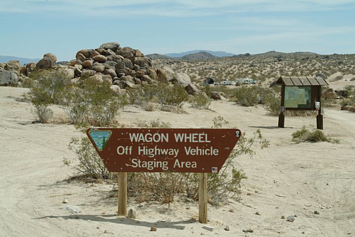
WAGON WHEEL
(Off Highway Vehicle Staging Area)
LATITUDE: N 35°34.364
LONGITUDE: W 117°33.139
ELEVATION 3222'
(GPS Reading taken at the Information
Board near Trona Road.)
Dispersed and Primitive Camping
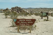
Sign and Information Board
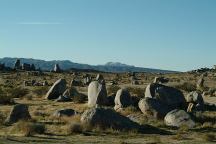
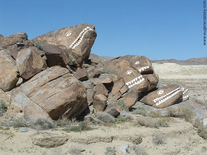
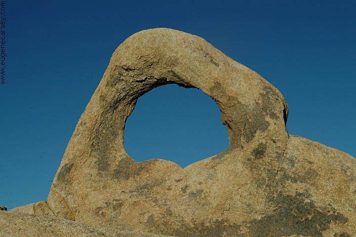
Wagon Wheel Rock Formations
This used to be a peaceful and quiet
camp area, but has been taken over
by the ATV and OHV crowds.
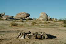
Wagon Wheel Dispersed Campsite
There are miles of these rock formations
with roads throughout. The landscapes
look insane like being on the moon.
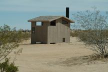
New vaulted toilets at Wagon Wheel
There are several new vaulted toilets...
Since 2006??? Can't remember them
from before...
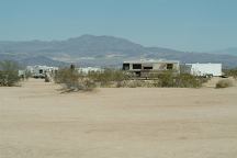
RV's in desert... Monday April 2, 2007
Primitive camping and firerings.
Desert conditions, bring your own water.

Graffiti all over the rocks. Looks like children,
except there are some adult words.
DIRECTIONS:
Trona Road
Between Hwy.178 and Red Mountain
From Red Mountain / Hwy.395
Take Trona Road about 16 miles
Wagon Wheel is right side of road
From Ridgecrest
Take Hwy.178 east to Trona Road.
Turn right and Wagon Wheel is 6-7 miles
Hwy.178 to Red Mountain is 22 miles.
NOTE:
Holidays such as Thanksgiving and
New Years can get crowded with hundreds
of RVs with ATVs.
When in this area be sure to check out
TRONA PINNACLES
Incredible... over 500 pinnacles up to
40' wide and 140' tall. One of the most
amazing places...
|