|
There are established campgrounds that
charge a fees, but there are several free
camping and recreation areas.
Limited Fire Restrictions???
Shovel and bucket of water required at undeveloped sites.
Kern County Lake Permit Required for all Watercraft.
HIGHWAY 155 (Between Lake Isabella and
Kernville)
From Lake Isabella is 10 miles to Kernville
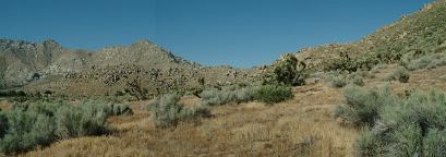
One of our favorite places is KEYESVILLE ROAD
Keyesville Recreation Site is along the Kern River.
SIERRA WAY (Road between Weldon and
Kernville)
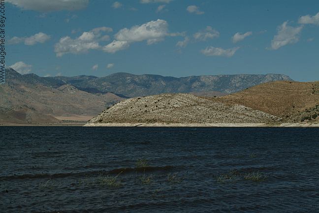
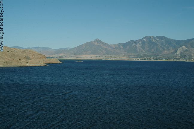
Sierra Way runs along the northeast shore of Lake Isabella
The road from Weldon to Kernville follows along the
banks of Isabella Lake with some free recreation areas.
From Weldon go east on Highway 178 about a mile.
Turn left on Sierra Way.
Isabella 11 miles
Kernville 13 miles
Bakersfield 56 miles
Take Sierra Way toward Kernville you will pass a
wildlife viewing area. Another couple miles are the
camp areas. There are road signs marking the
Recreation Sites.
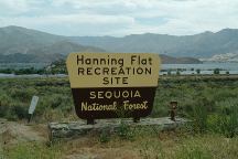
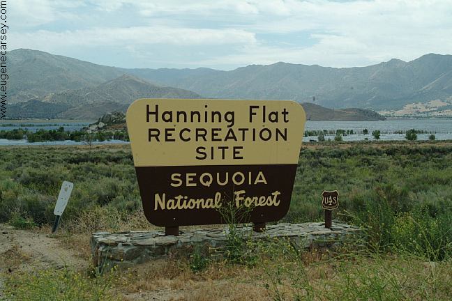
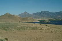
Hanning Flat Recreation Site
Hanning Flat
HANNING FLAT RECREATION SITE
Garbage dumpster and portable toilet.
This dirt road is about 1/4 mile with dispersed
camping areas along the shores of Lake Isabella.
14 Day Camping Limit in a 30 day Period
Located between Kernville and Waldon
LATITUDE: N 35°40.663
LONGITUDE: W 118°22.216
A couple hundred yards down the road from
Hanning Flat is the Model Aircraft Flying Field
Open to the Public.
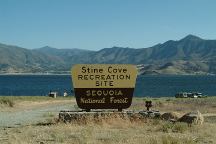
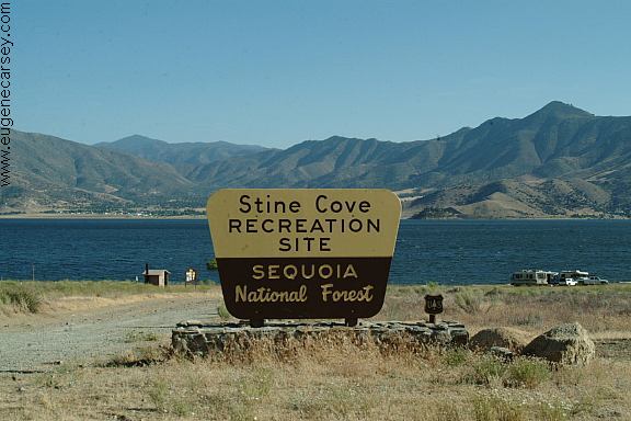
Stine Cove Recreation Site
STINE COVE RECREATION SITE
Primitive campsites along the banks of Lake Isabella.
There is a vaulted toilet and not much else...
14 Day Camping Limit in a 30 day Period
Located between Kernville and Waldon
LATITUDE: N 35°40.750
LONGITUDE: W 118°24.532
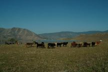
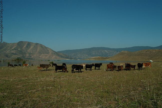
Cows at Hanning Flat
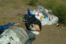
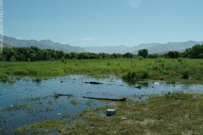
Garbage at Hanning Flat
Some garbage...
DIRECTIONS:
Highway 178 and Highway 155
See map for Lake Isabella, CA.

Kearn River
KEYESVILLE
RECREATION SITE
Another great camping area
Located on Hwy. 155 about a mile from
Lake Isabella, CA.
NORTH
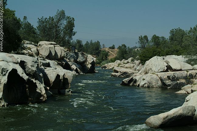
FORK KERN RIVER
between Kernville and Johnsondale
offers many camping opportunities
and scenic views. The road follows
along the banks of the North Fork
Kern River.
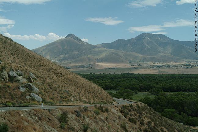
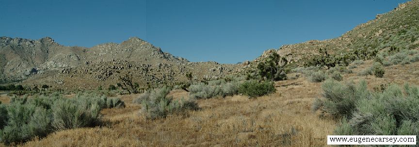
Hwy.178 near Walker Pass
|