|
Keyesville is best known as a historic
gold mining town.
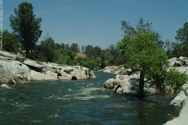
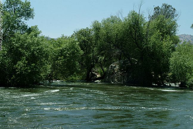
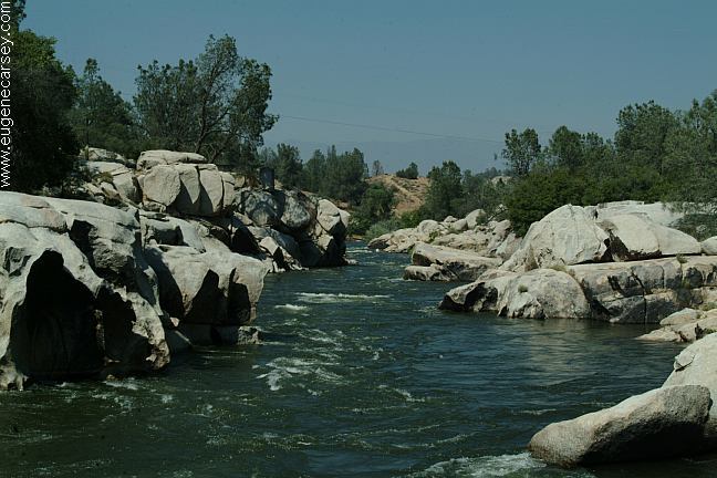
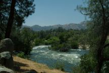
Kearn River
Keyesville Recreation Site
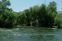
Kearn River

Kearn River
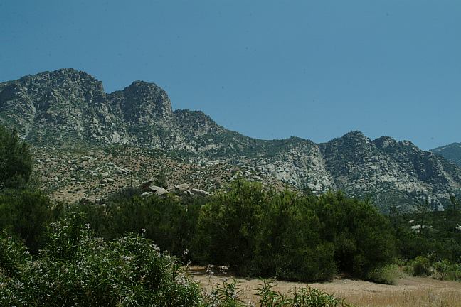
Keyesville Recreation Site was one of the last
places we explored in the Lake Isabella area and
it turned out to be one of the best. Keyesville
Road follows along the Kern River with great
camp areas. It is easy access and you can find
a good place to hide from the rest of the world...
maybe a dune buggy or ATV will come zipping
by now and then. Stay here during the off-season
and there will be limited people. Holidays and
weekends during the summer this place will
get trashed.
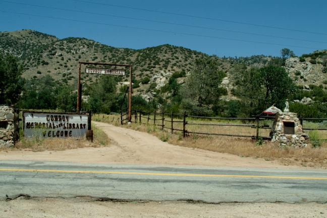
KEYESVILLE RECREATION SITE
Metal Firerings
Vaulted Toilets
Garbage Dumpsters
14 Day Limit
BLM South Raft Launch
BLM SOUTH RAFT LAUNCH
Primitive campsites
Metal Firerings
Vaulted Toilet
Garbage Dumpsters
LATITUDE: N 35°38.126
LONGITUDE: W 11829.047
Elevation: 2450'
IT IS YOUR RESPONSIBILITY TO
KNOW
WHAT FIRE RESTRICTIONS ARE IN EFFECT
CAMPFIRE PERMITS ARE REQUIRED
Take Highway 155 north of Lake Isabella and
there are roads on both sides of the Kern River.
Primitive campsites with metal firerings.
Outhouse and garbage dumpster in summer.
The first road goes to BLM South Raft Launch.
(Turn opposite of Isabella Lake Information Center)
This is about 1/4 mile long dirt road with several
campsites.
Keyesville Road is on the other side of the
bridge
and is paved for 2 miles, turning to dirt as it starts
to wind up the mountain side. Campsites everywhere....
The Kern River is extremely dangerous. Use
caution.
Even when the river looks calm, strong currents exist
(One person drowned and several others had to be
rescued this Memorial Day Weekend 2006)
Water unsafe for drinking.
The Kern River is popular with rafters.
Recreational gold mining is permitted in
certain areas.
A popular area is Lower Hogeye Gulch.
Check the rules and regulations...
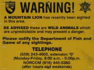
Mountain Lion Warning
A mountain lion has recently been sighted in
this area.
DIRECTIONS:
From Highway 178
Exit#43 at Lake Isabella and Hwy.155
Turn north on Highway 155
Keyesville Recreation Site is about 3/4 mile.
From Kernville take Highway 155 towards Lake Isabella.
Keyesville Road will be on the right
(Just after Lake Isabella Visitor Information Center
and just before Main Dam Campground)
FOR MORE INFORMATION
Bureau of Land Management
3801 Pagasus Drive
Bakersfield, CA 93308
661-391-6120
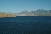
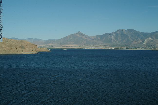
Lake Isabella
LAKE
ISABELLA
Lake Isabella near Keyesville

Chamis Flat on North Fork Kern River
NORTH
FORK KERN RIVER
From Lake Isabella to Kernville is 10 miles
on Hwy 155. If you continue north, between
Kernville and Johnsondale, there are many
camping opportunities and scenic views.
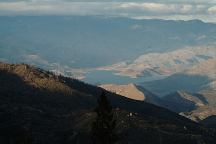
View of Lake Isabella from Breckenridge Road
If the temperature is too hot, check out
BRECKENRIDGE
CAMPGROUND
which is at a much higher elevation.
|