|
Jawbone Information Center
Elevation around 2100' - 3000'
There are vaulted toilets at the Visitor Information Center
(Junction of Jawbone Road and Highway 14)
There is a map you should examine before
venturing out into the wilderness.
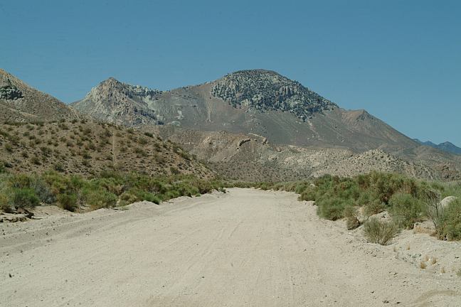
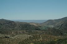
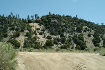
Jawbone Recreation Area encompasses a large
area of mostly desert environment. This is the opposite of Sherman Pass
Road where we camped last night. There are no shade trees here, just
wasteland. ATV's and RV's rule the day at
Jawbone Recreation Area. Don't be surprised if something with wheels
comes flying through your camp. If loud noises bother you, it would be
recommend to avoid this place. And don't ask about the wind storms...
just hold on to your hat.
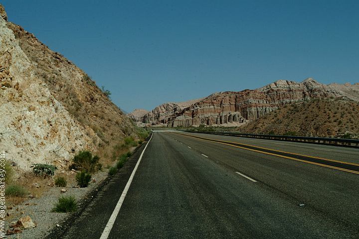
Jawbone Road
Jawbone Road
Jawbone Road
Jawbone Road and Camp Area
This was our camp on Jawbone Road.
(A couple miles west from Hwy.14)
It is easy access making a good spot
to park for the night.
A good reason to stop or stay here is
because there are limited fire restrictions.
You can make a pot of coffee and not
worry about getting arrested.
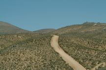
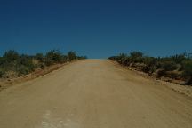
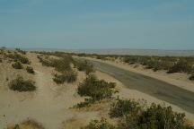
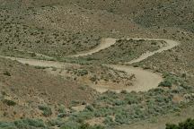
As you continue down Jawbone Road there
are camping areas everywhere. The first 4 miles
is paved surface, becoming a dirt road with areas
of loose sand. A passenger car can transverse
the road with caution.
Jawbone Road
About 4-5 miles north on Jawbone Road
there is an RV area with vaulted toilets
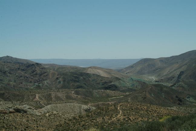
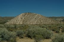
Some of the best campsites are about 6-7 miles.
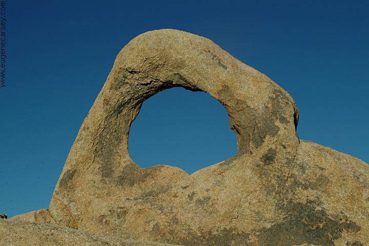
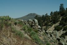
The views are similar to Death Valley with painted
canyons and old, rugged mountains. Around every
corner is a new photo opportunity.
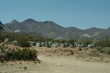
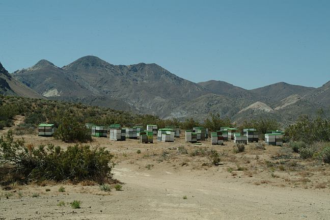
Bee Hives on Jawbone Road
There is a good camp on top of the hill (about
8 miles)
Today there were several bee hives.
Guess they must be pollinating the sagebrush.
If you continued north on Jawbone Road
in 18 miles is the junction of Piute Mountain
Road #501 to Kelso Valley Road #539.
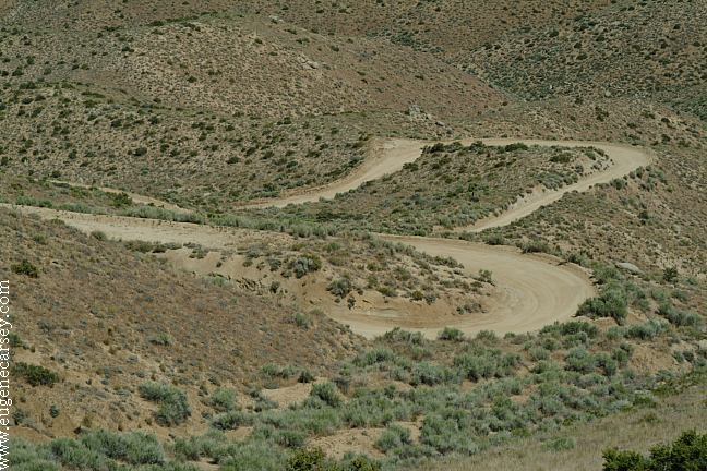
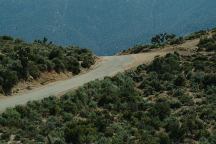
If you take Jawbone Road towards Piute
Mountain Road, be prepared for some serious steep grades with nasty
switchbacks and cutbacks as the road does a "Z" up the mountain side.
There are areas of loose sand. Only a fool would try to drive a
passenger car up this road. We had to get a running start to make it up
some of the hills.
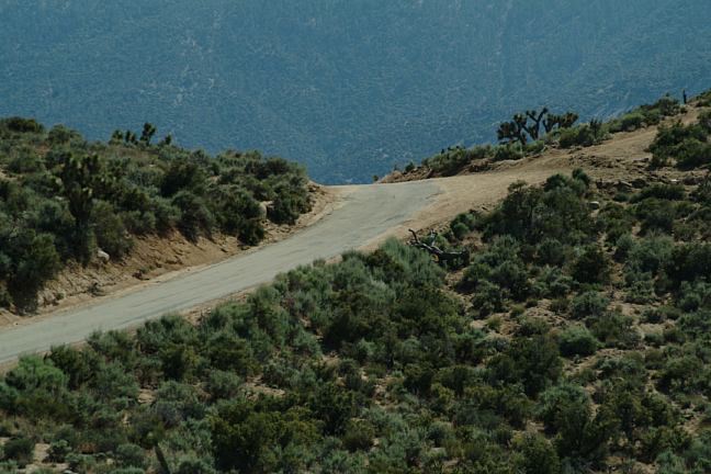
Once you reach the mountain crest,
the first turn on the right is a good camp.
It was hot in the valley, a little chilly up here.

Jawbone Road
Jawbone Road
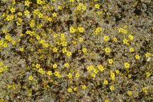
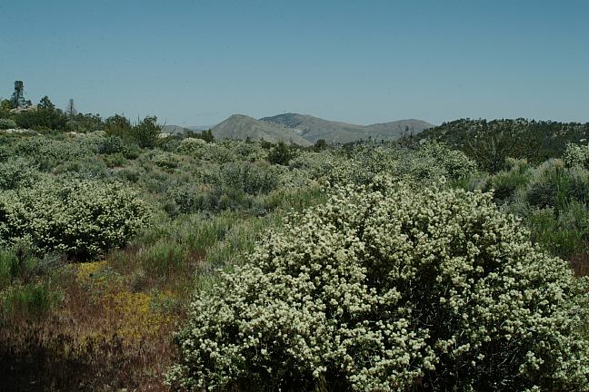
Wild Flowers
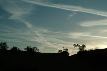
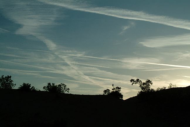
Chemtrails over Jawbone Canyon
Notice the clouds... blue skies are rare.
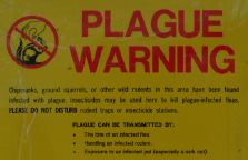
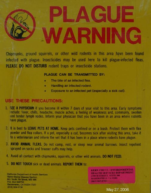
PLAGUE WARNING
The plague is not uncommon... but it
seems more cases than normal this year
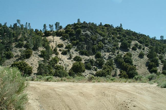
Parking Area
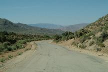
Jawbone Road towards Kelso Canyon Road
Just when you think this road is never
going to end, it never does... but at least
this is the easy part... what you see is what
you get, no big surprises.
DIRECTIONS:
From Highway 14
Turn west on Jawbone Road (Near Cantil)
It is paved for 4 miles then turns to sandy dirt
From Highway 178
Turn at Weldon and take Keslo Valley Road #539
In 18 miles is Jawbone Road Junction
A good map is recommended.
NOTE: If taking Jawbone starting at Hwy.14,
There are serious upgrades, switchbacks and loose sand.
You can see the road from down in the valley, but just
figure it must be an old mining road...
Bureau of Land Management
Ridgecrest Field Office
300 South Richmond Road
Ridgecrest, CA 93555
760-384-5400
Jawbone Station
28111 Jawbone Canyon Road
P.O. Box 1161
Mojave, CA 93502
760-373-1146
MILEAGE CHART
From Jct. Hwy.14 and Jawbone Road
|
California City
Mojave
Bishop
|
xx miles
xx miles
xx miles
|
Kelso Valley Road
Kelso Valley Road
BRECKENRIDGE
CAMPGROUND
Breckenridge Campground is on top of the world.
Continue west on Jawbone Road... see map.
CHIMNEY
PEAK RECREATION AREA
Chimney Creek Campground is classic
10 miles from Jct. of Hwy.395
SHERMAN
PASS ROAD
North on Hwy.395, Sherman Pass Road
winds through the rugged Sierra Nevada
Mountains with ample camping opportunities.
|