|
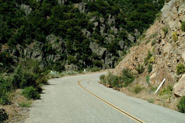
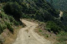
ROAD 22S12
Road 22S12 is about 5 miles paved surface then dirt
There are a couple bad ruts you have to navigate.
Check the weather forecast.
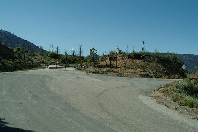
Road to Rincon Camp
RINCON CAMP
See photo... didn't drive to the campground.
POISON CREEK (Camp Area)
Around 5 miles is Poison Creek Camp.
You can camp here. Kind of cheesy.
Elevation 6800'
HORSE MEADOW CAMPGROUND
Turn right at Road 23S10. Campground is about a mile.
Fee Area $10.00... kind of expensive.
There is drinking water. It seemed clean enough.
Should have tested it better, but had already filled
the water containers in Lake Isabella.
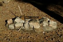
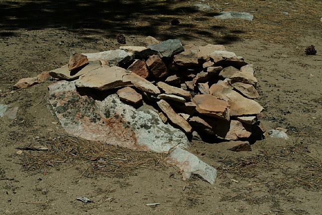
Big Meadow Firering with Grill
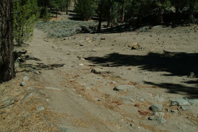
BIG MEADOW
Continue down Road 22S12 for 13 miles.
Elevation 8000'
Big Meadow is what you expect... including the fresh air.
As Big Meadow comes into view you realize that life is good.
There are campsites with picnic table, firepits and outhouse.
The outhouse is old style... small with wooden toilet.
No Garbage Service
Meadow is closed to regenerate growth
The night air is filled with the rare sound of crickets and frogs.
It is a battle to see who can be the loudest...
Salmon Creek flows through the meadow
There are some primitive campsites where
Road 22S12 crosses over Salmon Creek.
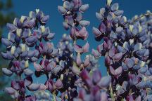
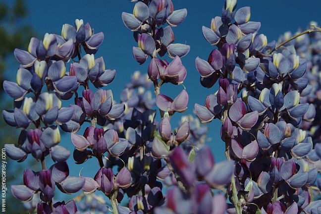
Flowers along Sherman Pass Road
BLACK ROCK
Road closed due to snow???
TROY MEADOW CAMPGROUND
Was closed Memorial day.
Troy Meadow Overflow was opened
Elevation 5800'
MAHOGANY CAMP
Mahogany Camp is a nice area.
It is a free campground.
Was crowded on Memorial Day Weekend
FISH CREEK CAMPGROUND
Fee Area
JACKASS TRAIL AND MEADOW
Road Closed
Jackass Trailhead 1/2 mile
Jackass Meadow 1 1/2 miles

Road 21S29 towards Hooker Trailhead
Road 21S29 - Camp with designer firering
HOOKER TRAILHEAD / ROAD#21S29
Campsites along Road#21S29.
Very few people know about this area.
The road is lined with good campsites
4x4 would be recommended
Passenger cars can navigate this road with caution
We only drove about a mile up the road.
Hooker Creek Trailhead 1.5 miles
BITTER CREEK TRAILHEAD
There is a big parking area
You could camp here overnight.
SOUTH FORK KERN RIVER
As you enter the Sequoia National Forest there is
a bridge that crosses the South Fork Kern River.
You will see RV's in the parking area.
It gets crowded with fishermen
East of the bridge is a road that leads down
to the river with a nice camp area.
4x4 recommended
KENNEDY CAMPGROUND
Fee Area $10.00
DIRECTIONS:
From Johnsondale go west towards Kernville
Stay left at Sherman Pass Road
From Kernville go towards Johnsondale
Turn right on Sherman Pass Road.
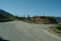
Sherman Pass Road and Road #22S12
Sherman Road was closed 12 miles ahead
The sign said due to snow... May 24, 2006
Do you see any evidence of snow???
From Highway 395
Turn west on Nine Mile Canyon Road
The turn is between Little Lake and Pearsonville
There are signs pointing to Chimney Peak Rec.Area
(Nine Mile Canyon is 10 miles of steep upgrades)
Stay on paved road and continue to Kennedy Meadow.
Continuing about a mile to Sequoia National Forest
You will cross a bridge over South Fork Kern River
This is now Sherman Pass Road.

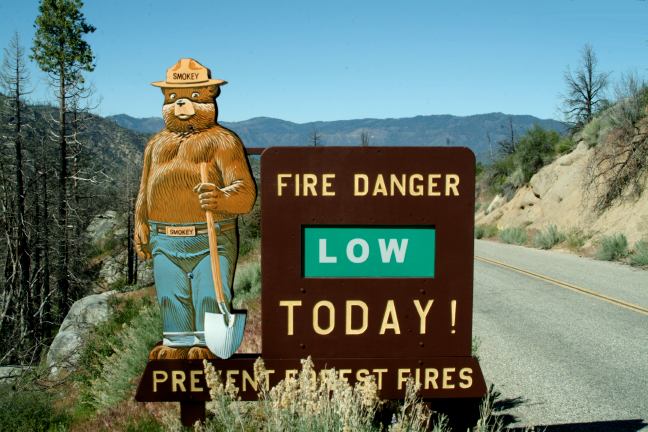
Smokey Bear (Old Style)
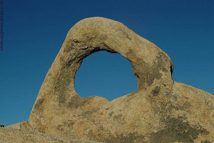
CHIMNEY
PEAK RECREATION AREA
Chimney Creek Campground is classic
10 miles from Jct. of Hwy.395
The NORTH FORK KERN
RIVER between Kernville
and Johnsondale offers many camping opportunities and
scenic views. The road follows along the banks of the
North Fork Kern River.
ROAD 20S67 / LLOYD CREEK
Excellent camping area near Johnsondale.
For more information see: LLOYD CREEK
|