|

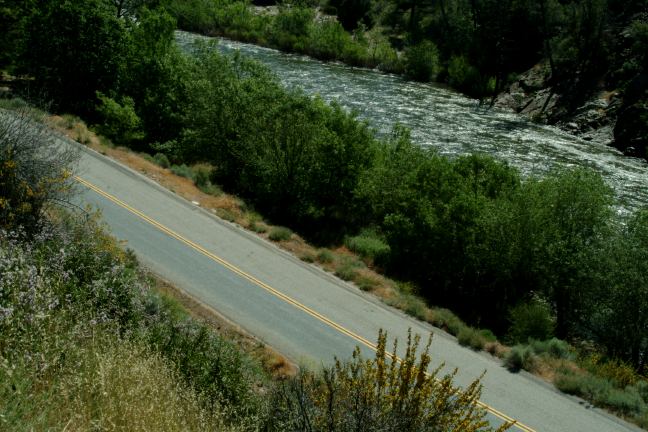
North Fork Kern River at Chamis Flat

North Fork Kern River Road
The North Fork Kern River between Kernville
and Johnsondale offers many camping opportunities
and scenic views. The road follows along the banks
of the North Fork Kern River for about 18 miles.
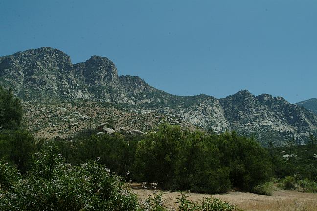
This is some harsh country side and the weather
can be extreme...
There are some established campgrounds that
charge
a fee. There are also many areas along the river you
can camp free. No camping or campfires within 25'
of the river. There are too many cops in this area...
don't try anything.
CACTUS FLAT
Portable toilets and garbage dumpsters.
Kind of barren on a hot day.

Chamis Flat

Chamis Flat

Chamis Flat
CHAMIS FLAT
Portable toilets and garbage dumpsters.
Some good hiding spots in among the
trees and bushes. Very scenic area.
SALMON CREEK FALLS
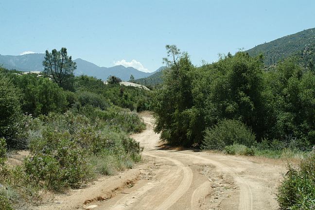
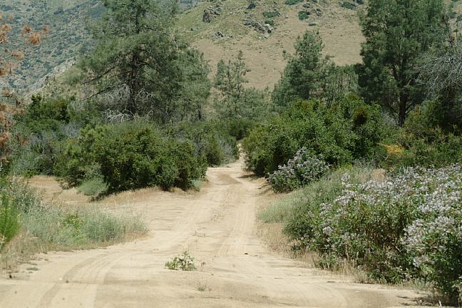
Didn't drive up this road yet.
Steep, narrow grade with rough spots

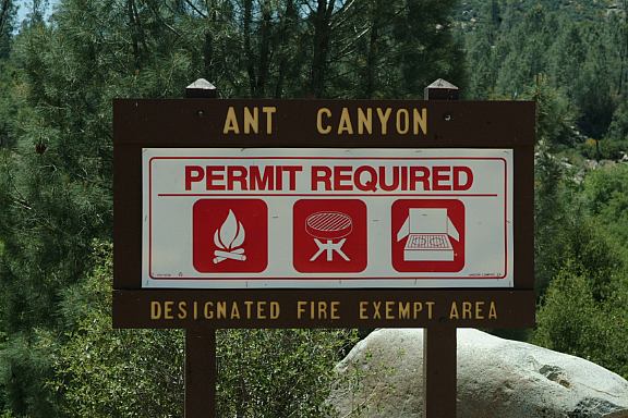
Ant Canyon Fire Restrictions
ANT CANYON
Portable toilets and garbage dumpsters.
Fire restrictions are in effect...

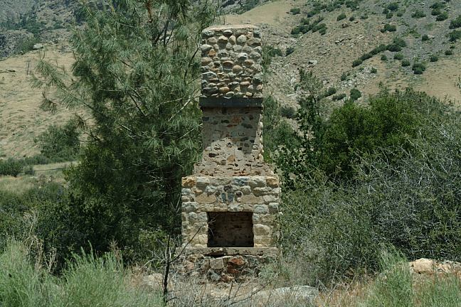
Chimney near Headquarters Campground
There were more free camp areas.
We need more time to explore around...
LIMESTONE CAMPGROUND $13
FAIRVIEW CAMPGROUND $15
HEADQUARTERS CAMPGROUND $15
DIRECTIONS:
FROM: Johnsondale go towards Kernville
FROM: Lake Isabella take Hwy.155 to Wofford Heights.
Take the road towards Kernville/ North Fork Kern River.
You will start seeing camp areas in a couple miles
FROM: Weldon take Sierra Way to Kernville/ North Fork Kern River.
LAKE
ISABELLA
There are free camp and recreation areas.
South from North Fork Kern River.
LLOYD CREEK
Excellent camping area near Johnsondale.
SHERMAN
PASS ROAD
If you are starting from the north there is a split in the road.
Sherman Road is to the left going up the mountain.
North Fork Kern is to the right and follows the river.
|