|
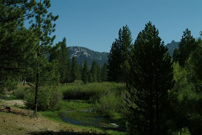
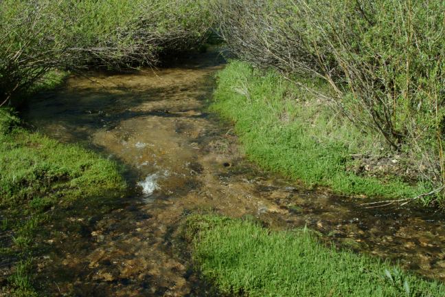
LLOYD CREEK
Lloyd Creek is very peaceful and relaxing.
Driving on Road 20S67 toward Forks In
The Kern Trailhead you will cross Lloyd Creek.
There are excellent camp areas on both sides of
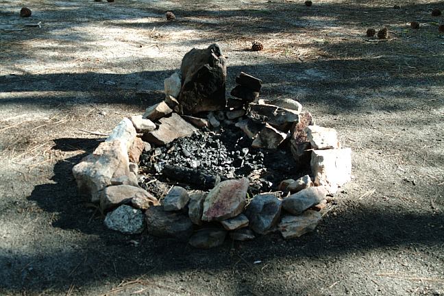
the creek. Primitive campsites with firepits.

Lloyd Creek

Lloyd Creek
14 Day Limit.
Permit required to enter wilderness areas and trails.
Outhouse located at Forks In The Kern Trailhead parking area.
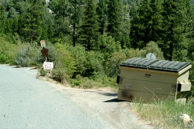
Garbage dumpsters located along Road 22S82
Shovel and water required on undeveloped campsites.
Near Fish Creek Meadow Trail #32E12
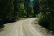
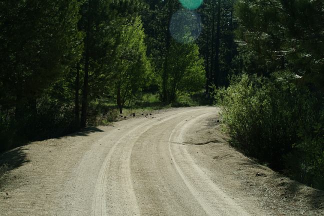
Road 20S67 near Lloyd Creek

Lloyd Creek Campsite with Firepit
ROAD 22S82 / LOWER PEPPERMINT C.G.
West from Johnsonville is Road 22S82(to the right).
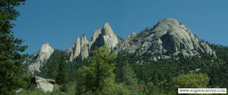
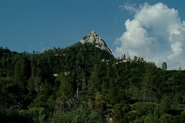
Road 22S82 has some awesome scenic views... we
were surprised. This road takes you 23 miles through
rugged wilderness areas. Driving towards the base of
Needle Rocks are some spectacular photo opportunities.
There are numbered camp areas along the way. Lower
Peppermint Campground is 11 miles and is a fee area.

Road 22S82 Camp Area #1

Road 22S82 Camp Area #2
ROAD 22S82 / NUMBERED CAMP AREAS
You will see the signs designating these camp
areas. Most had rough roads...
ROAD 22S82 / JERKY TRAILHEAD
Road 22S82 is 23 miles long ending at Jerky
Trailhead. There is a paved parking area and
a couple tent sites. There are other areas you
can camp or overnight park.
HIGHWAY 190 / DOME ROCK
Dome Rock area offers some good camping
opportunities. For more information see:
DOME ROCK
FIRE RESTRICTIONS!!!
IT IS YOUR RESPONSIBILITY TO KNOW
WHAT FIRE RESTRICTIONS ARE IN EFFECT.

Road 22S82
DIRECTIONS:
From Bakersfield take Hwy 65 to Ducor
Take Road J22 To California Hot Springs
Continue towards Johnsondale
Road 22S82 is about a mile before Johnsondale
Take Road 22S82 about 20 miles
Take Road 20S67
(towards Forks Of The Kern Trailhead)
Lloyd Creek is about 1/2 mile.
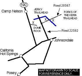
If you examine a real map, there are several
back roads and different directions you could take. Almost all roads in
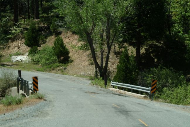
the Sierra Nevada Mountains are narrow and winding, with steep grades.
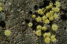
Flowers at Lloyd Creek
There was a BEAR the other day on Highway 198
near the north entrance of Sequoia National Park.
He was just playing around, kind of bouncing up
and down on a fallen tree. No photos because' we stayed
in the car.
MORE TOURIST ATTRACTIONS:
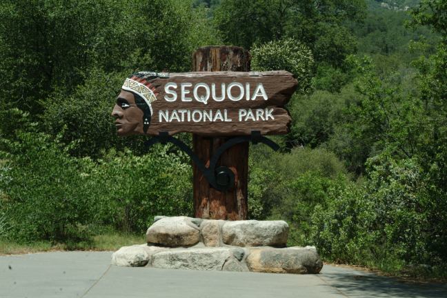
- Sequoia National Park
- Kings Canyon National Park
- Mount Whitney Highest Point in CA
- The road between California Hot Springs
and Johnsondale are some scenic views.
Camped here May 18, 2006

Sequoia National Park (South Entrance)
Showers at Sequoia National Park
(During summer months)
Least expensive gas was in Visalia.
Junction of Hwy 198 and Lover's Lane
|