|
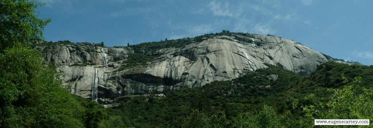
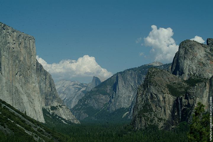
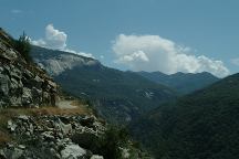
Scenery that looks very similar to
Yosemite National Park with canyons
of domed rock. There are very limited
people out here.
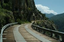
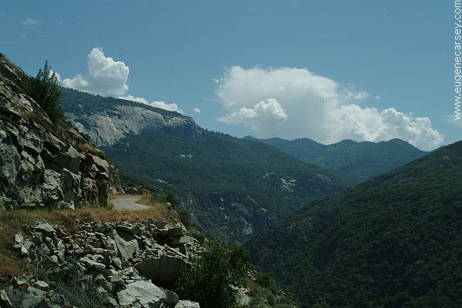
Bridge on the road towards Black Rock Reservoir
Road towards Black Rock Reservoir
The road to Black Rock Reservoir Campground
is paved, but extremely narrow as it winds along
cliff faces with 1000' drops. Not recommended for
RV's or persons with nervous conditions...
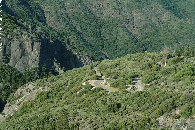
Road towards Black Rock Reservoir

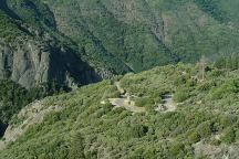
Near Balch Camp
The last two miles to Black Rock Reservoir
Campground is rough dirt road.
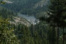
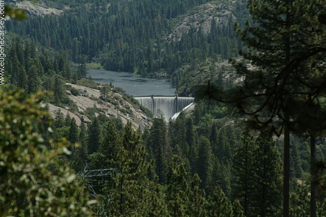
Black Rock Reservoir Dam
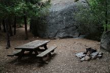
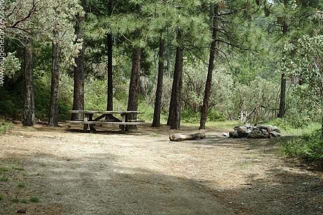
Black Rock Reservoir Campsite #6
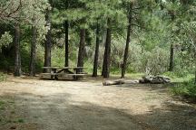
Camp on Fishing Access Road
BLACK ROCK RESERVOIR CAMPGROUND
No Fee (During off-season)
This is a fee area, but no envelopes or information.
A second party said that there are no fees.
Constructed and operated by PG&E
(Pacific Gas and Electric Company)
Picnic tables, metal firerings, outhouse.
No garbage service due to raccoons.
Water during the summer months
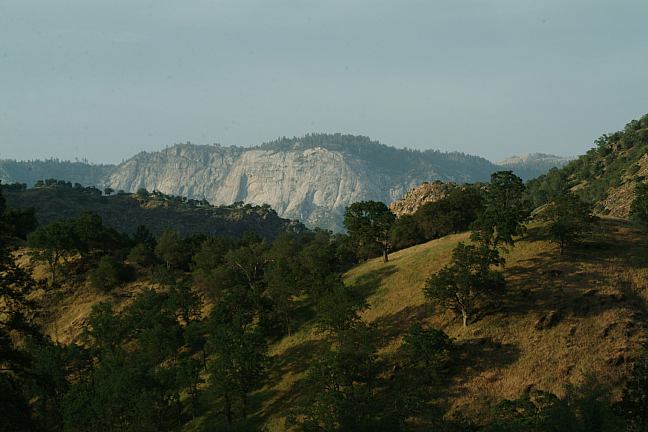
The road between Balch Camp and Black
Rock Reservoir is flocked with extreme
dangers as it slices through sheer cliff faces
with 1000' drops. It made us a little nervous...
no RV's this direction.
Balch Camp 10 miles
Trimmer 34 miles
SAWMILL CAMPGROUND
10 miles / Rough dirt roads
With our bad shocks and struts didn't attempt
to drive this road. There was snow at the higher
elevations that helped decide against driving to
Sawmill Campground.
|