|
|


|
Free campgrounds and camping
Death Valley entrance fees are $20 per vehicle.
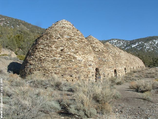
Notice the snow on the hillsides, behind Wildrose Charcoal Kilns
WILDROSE CAMPGROUND THORNDIKE CAMPGROUND MAHOGANY CAMPGROUND
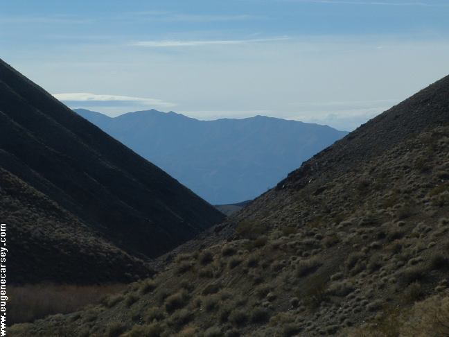
Death Valley has incredible landscapes |

ESTABLISHED CAMPGROUNDS: DIRECTIONS: From Ridgecrest take Hwy.178 north From Hwy.190 near Paramint Springs ROAD CONDITIONS: MILEAGE FROM WILDROSE C.G. There are several areas to camp in the SALINE VALLEY BADWATER
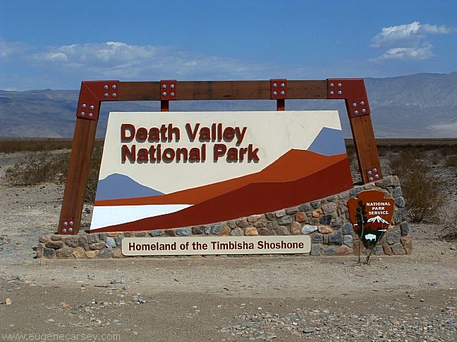
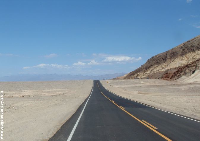
Death Valley National Park
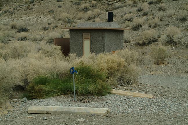
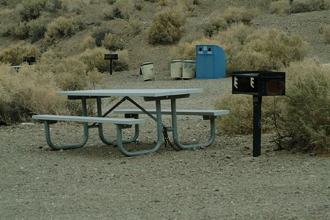
Campgrounds that charge a fee
FURNACE CREEK CAMPGROUND $18
TEXAS SPRING CAMPGROUND $14
SUNSET CAMPGROUND $12
MESQUITE CAMPGROUND $12
STOVEPIPE WELLS CAMPGROUND $12
From Hwy.190
(Between Panamint Springs and
Stovepipe Wells near Emigrant C.G.)
Turn south on Emigrant Canyon Road
Wildrose CG about 21 miles
About 50 miles stay right at the junction of
Paramint Valley Road and Trona-Wildrose Road.
Death Valley Boundary 3 miles
Wildrose Campground 9 1/2 miles
(Vehicles over 25' not allowed)
Take Paramint Valley Road
Turn left on Trona-Wildrose Road
Willdrose Campground 9 1/2 miles
(Vehicles over 25' not allowed)
Paved surfaces...
Mountain grades and curves
Trona 40 miles
Ridgecrest 62 miles
Lone Pine, CA xx miles
Stovepipe Wells 32 miles
Furnace Creek 57 miles
Wildrose Charcoal Kilns 6 miles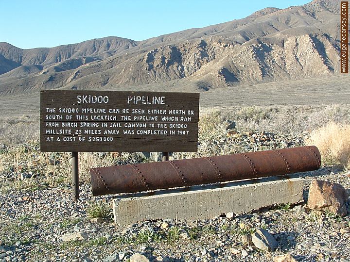
Skidoo Pipeline
LATITUDE: N 36°14.894
LONGITUDE: W 117°07.995
On the road towards Wildrose Charcoal Kilns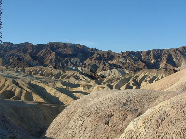
Zabriskie Point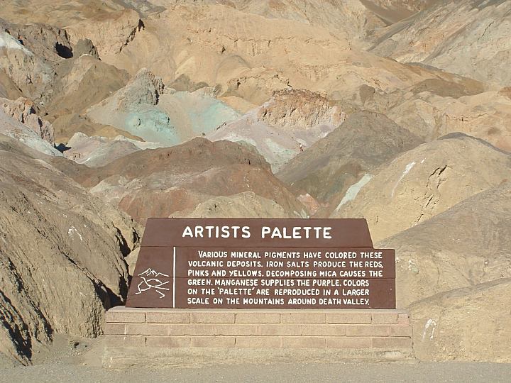
Artist Drive and Artist Palette
Dante's View
Spectacular view at more than 5000'
above the valley floor
20 Mule Team Road
back country. You need to check if there
are any restrictions.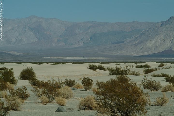
Saline Valley Warm Springs from
Sand Dunes on Saline Valley Road
Saline Valley Warm Springs and
Palm Hot Springs... be prepared
for nude people and such. Camp
areas around both the springs. The
springs are not shown on most maps.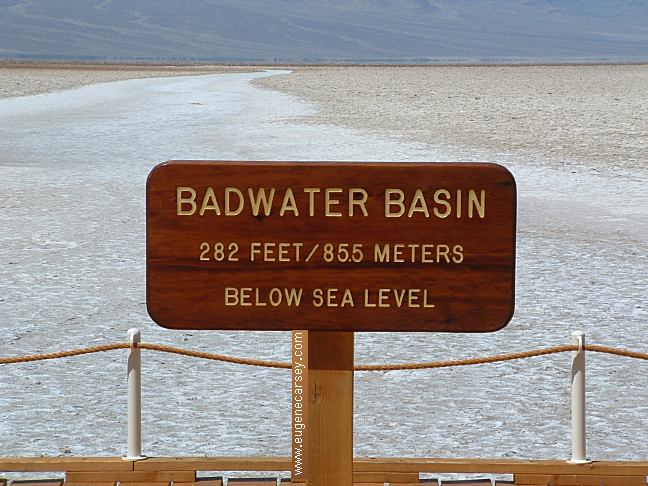
Badwater Basin
Lowest point in the Western Hemisphere
at 282 feet below sea level. Extreme heat
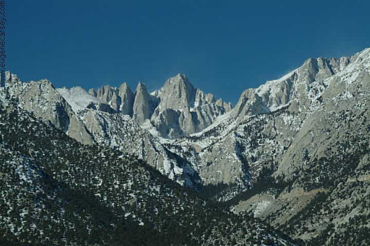
in summer months. (Mount Whitney at
14,491 feet is the highest point in the lower
48 states and is only 100 miles to the west)
Northwestern Death Valley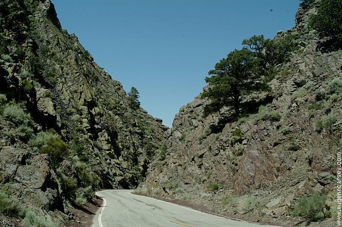
Highway 168, CA
|
Showers at Furnace Creek Visitor Center Showers located in Big Pine, CA
Also see: ALABAMA HILLS
KEELER,
CALIFORNIA
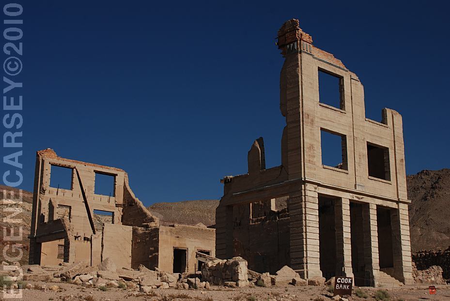
RHYOLITE GHOST TOWN
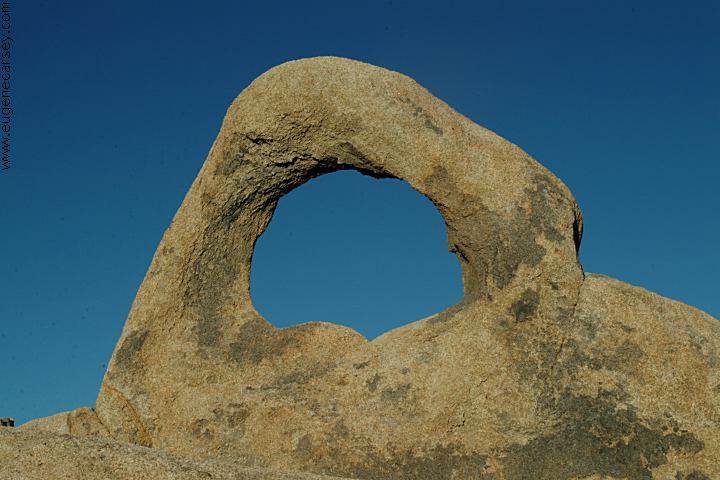
ARCHES
OF
ALABAMA HILLS
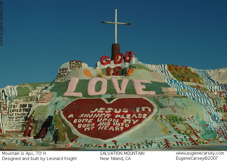
SALVATION MOUNTAIN
TRONA
PINNACLES CAMPGROUND INDEX
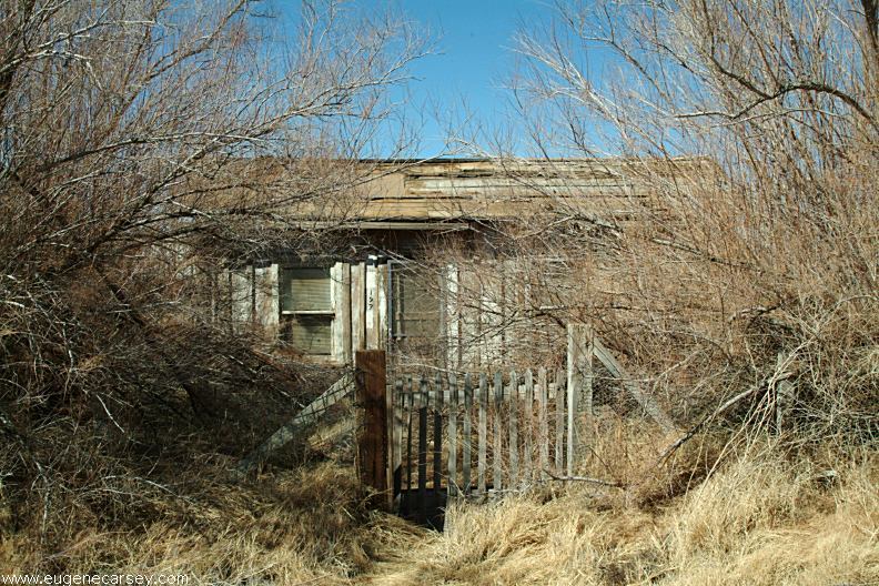
Camped here 2003
dispersedcampgrounds.com |