|
|


|
Free camping and campgrounds
At this site in 1876 Harrison Pearce set up The first party crossed at Pearce Ferry in
Pearce Ferry was a popular tourist spot in the |


Vaulted Toilets Hot in summer with limited shade IT IS YOUR RESPONSIBILITY TO
KNOW PHOTO HERE The CCC was part of President Roosevelt's The CCC projects at Pearce Ferry were When Hoover Dam was completed in 1936, PHOTO HERE COLORADO CROSSING VIEWPOINT DIRECTIONS: From Las Vegas, NV ROAD CONDITIONS: SOUTH COVE BONELLI BAY BONELLI
LANDING GREG'S
HIDEOUT WINDY
POINT RECREATION AREA

Pearce Ferry Crossing Camp Area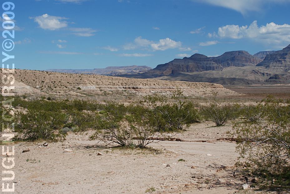
Pearce Ferry Crossing Camping Area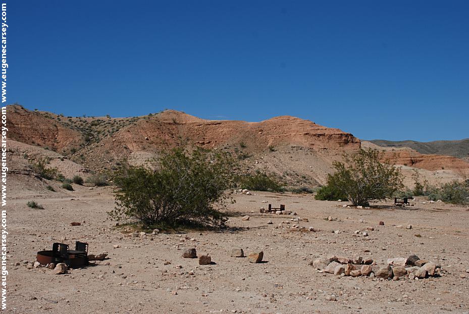
Campsite at Pearce Ferry Crossing
LATITUDE: N 36°06.893
LONGITUDE: W 114°00.184
There are dispersed campsites throughout
this area.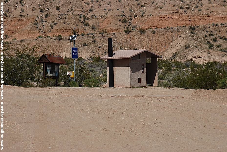
Vaulted toilets and Information Board
Metal Firerings
Emergency Call Box
Picnic Area and Information
15 Day Camping Limit
WHAT FIRE RESTRICTIONS ARE IN EFFECT
Water, shovel, and an ax may be required.
A good pair of leather gloves recommended.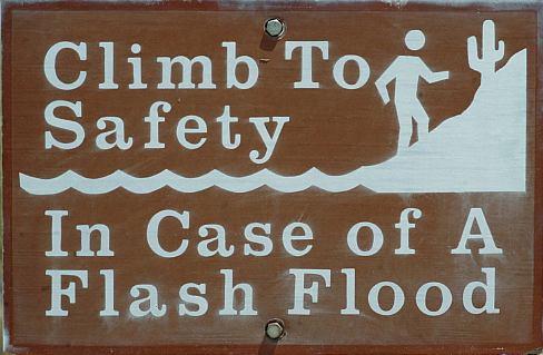
Climb To Safety In Case of a Flash Flood
Foundations from old CCC Camp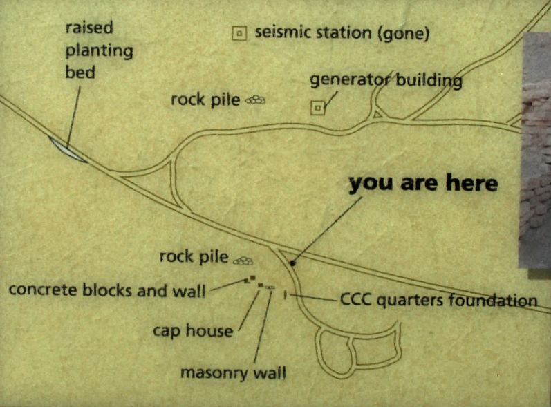
Map of the old CCC Camp
Included on the information kiosk near the picnic area.
New Deal Program, designed to help the
economy recover after the Depression,
providing conservation service jobs for
young unemployed men.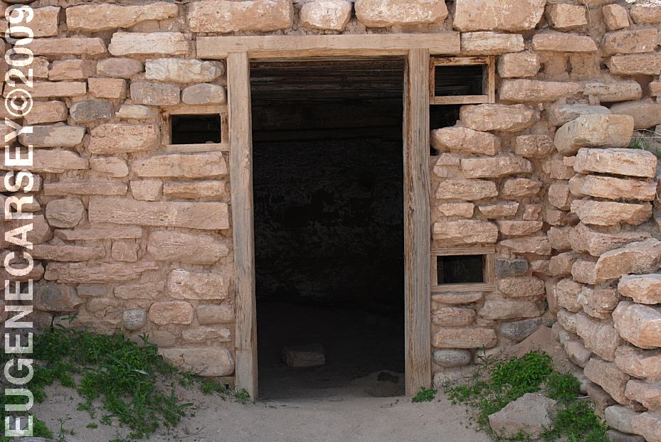
Cap House used to store dynamite
related to the creation of Lake Mead which
would begin to fill when Hoover Dam was
finished. The men conducted geological and
archaeological studies in caves and other sites
that would be submerged when the waters
rose. They also cleared the area around the
shore and built a bathing beach and facilities
so people could enjoy the newly created lake.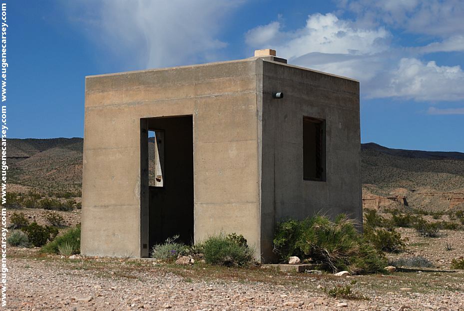
Seismograph Station
You can see the Seismograph Station
on the hillside from Pearce Ferry Camp Area.
(This was actually the generator house for the
Seismograph Station)
the waters of the Colorado River were blocked,
and Lake Mead was created. This was the largest
feat of engineering ever attempted, and no one
knew how the great weight of Lake Mead
would affect the stability of the earth's crust.
Scientists became concerned about a series
of earthquakes that began in 1938, and built
the station here to study them. After ten years,
the earthquakes subsided.
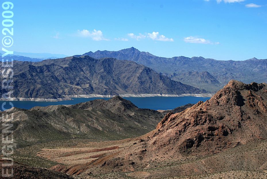
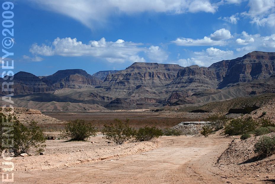
Colorado Crossing Viewpoint
LATITUDE: N 36°07.126
LONGITUDE: W 114°59.816
From Pearce Ferry Camp take the road
going up the hill about 1/2 mile.
No camping allowed in this area
This used to be our campsite in past years...

Pearce Ferry Road at Junction of South Cove Road
(4 miles before Pearce Ferry Crossing)
From Kingman, AZ
Take Stockton Hill Road / County Rd.20
In 36 miles turn right on Pearce Ferry Road
Pearce Ferry Crossing about 28 miles
Take Hwy 93 south / Milepost 42
Turn left on Pearce Ferry Road
Pearce Ferry Crossing about 50 miles
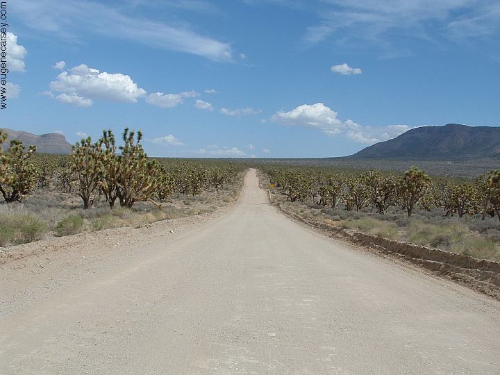
Pearce Ferry Road to Pearce Ferry Crossing
Mostly paved surfaces
The last 4 miles is rough dirt surface with
washboards...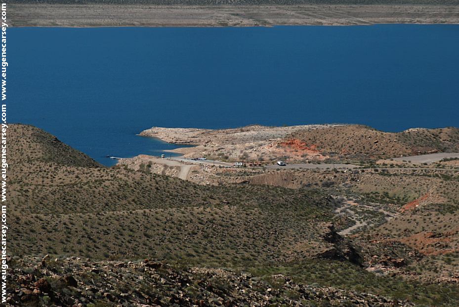
South Cove Boat Launch
LATITUDE: N 36°05.421
LONGITUDE: W 114°06.054
Boat Launch, Vaulted Toilets and
Garbage Dumpsters. 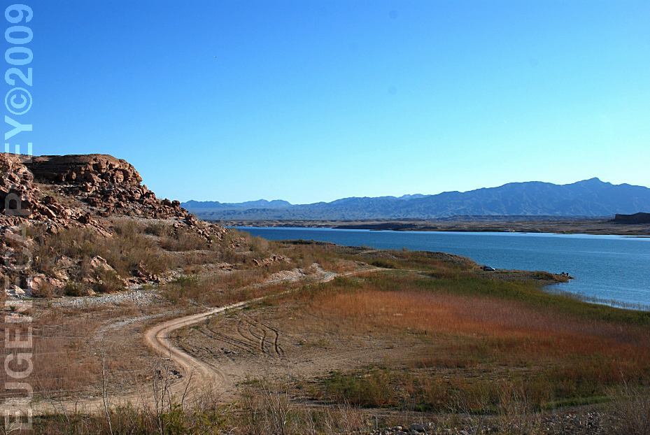
Bonelli Bay
Simple and relaxing.
LATITUDE: N 36°03.750
LONGITUDE: W 114°28.532
Camp along the shore of Lake Mead.
Enjoy walking the shores of Lake Mead
and this is about wild and crazy as it gets...
Bonelli Landing
Same area as Bonelli Bay
LATITUDE: N 36°05.004
LONGITUDE: W 114°29.106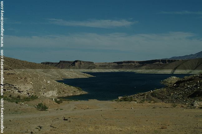
Greg's Hideout
Primitive camp area on Lake Mead
LATITUDE: N 36°00.072
LONGITUDE: W 114°13.861
Windy Point Recreation Area
LATITUDE: N 35°26.188
LONGITUDE: W 114°09.603
Highway 93 near Chloride, AZ
|
PHOTO HERE Showers at Temple Bar
Also see: ALAMO LAKE
We guess they landed here from another
WARNING: CAMPGROUND INDEX Camped here 2004
dispersedcampgrounds.com |