|
PHOTO HERE
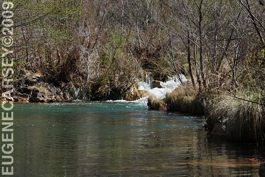
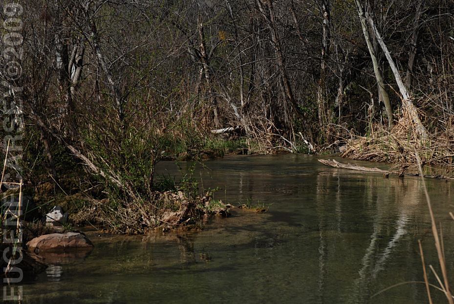
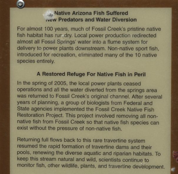
Verde River
PHOTO HERE
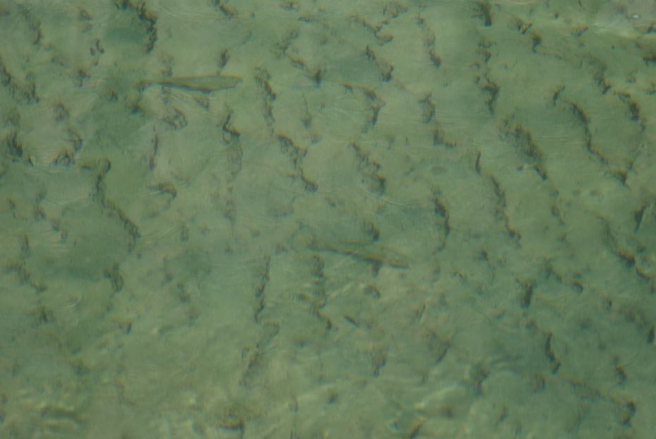
Verde Hot Springs
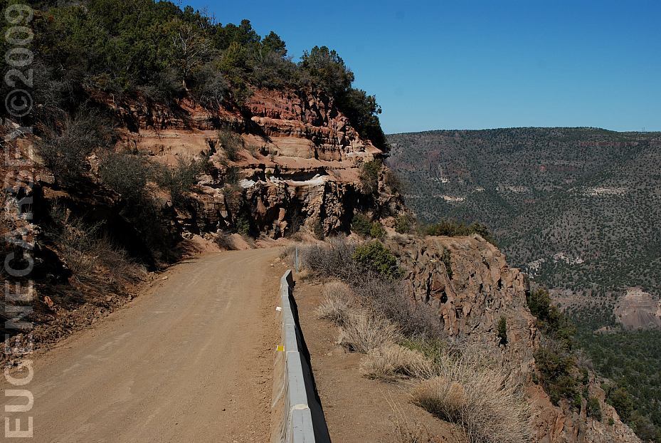
The road is rough this direction.
You will need good shock absorbers.
PHOTO HERE
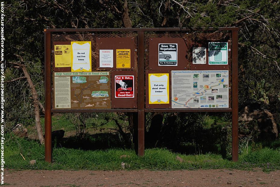
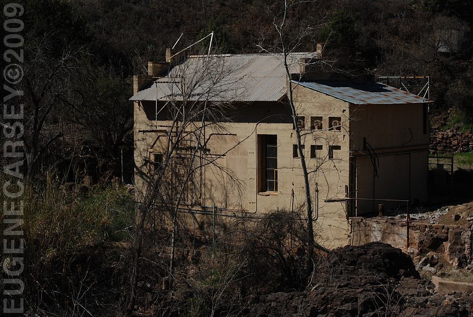
Fossil Creek Trailhead
LATITUDE: N 34°24.409
LONGITUDE: W 111°34.111
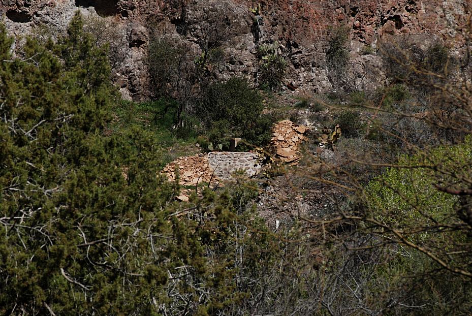
Fossil Springs are 4 miles
4 Quarts of Water Recommended
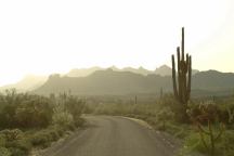
About 5 miles west from Strawberry, AZ
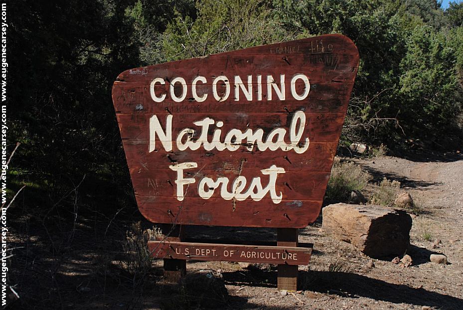
COCONINO NATIONAL FOREST
Fossil
Creek Road
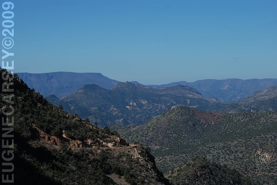
If you continue west on Fossil Creek Road
it becomes Coconino National Forest.
Also see: COCHISE
STRONGHOLD
Also see: COCHISE STRONGHOLD(WEST)
Also see: HWY
288 / SALT RIVER
Also see: HWY 288 / SIERRA ANCHA
Also see: MESCAL
Also see: MOGOLLON
/ HWY 260
Also see: MOGOLLON
/ HWY 87
Also see: MOGOLLON
/ HWY 99
Also see: ORGAN
PIPE CACTUS
Also see: PAINTED
ROCK PETROGLYPH
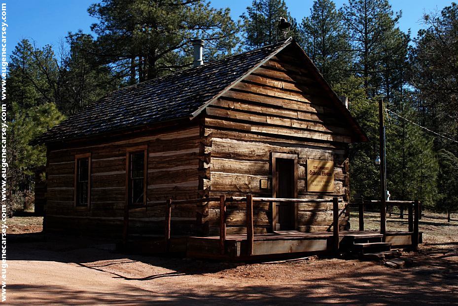
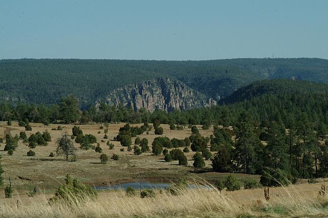
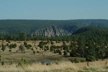
CLEAR CREEK CAMPGROUND
Coconino National Forest
Hwy.260 east from Camp Verde, AZ
$15 Per Vehicle / 7 Day Limit
LATITUDE: N 34°30.956
LONGITUDE: W 111°46.048
PHOTO HERE
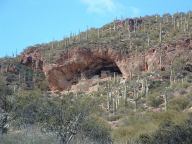
Tonto Natural Bridge
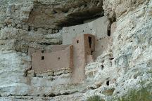
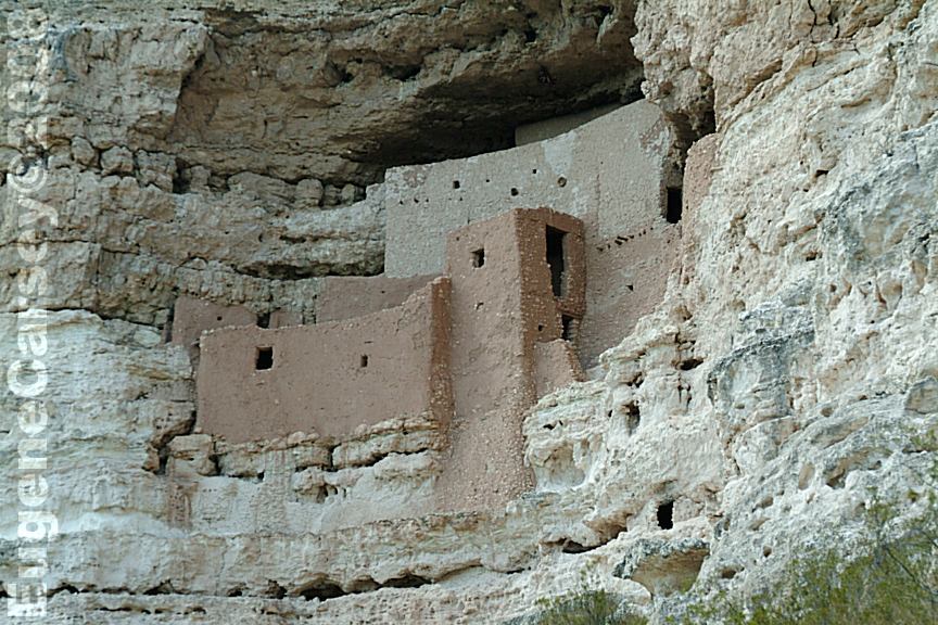
Montezuma Castle NM
LATITUDE: N 34°36.690
LONGITUDE: W 111°50.349
(GPS from the Visitor Parking Area)
There were vehicles from all over the country
Hwy 260 west of Camp Verde
PHOTO HERE
Fort Verde SHP
PHOTO HERE
Cottonwood, AZ
Cottonwood is built on the mountain side
The road is narrow with steep mountain grades.
Historic town is a tourist destination.
No vehicles over 50' recommended.
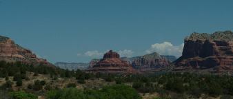
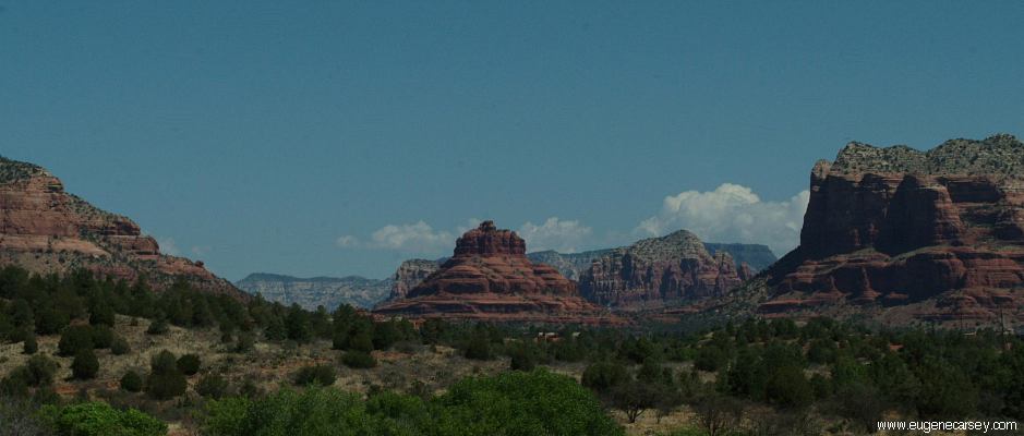
Bell Rock from Hwy 179
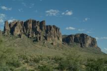
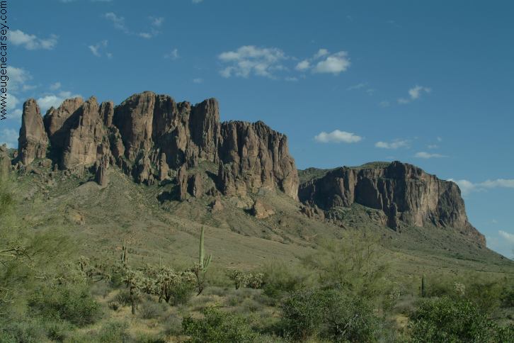
Lost Dutchman SP
Hwy.88, North of Tortilla Flat
Superstition Mountains
Tonto National Monument
TONTO NATIONAL MONUMENT
Tonto National Monument is on Hwy.188
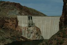
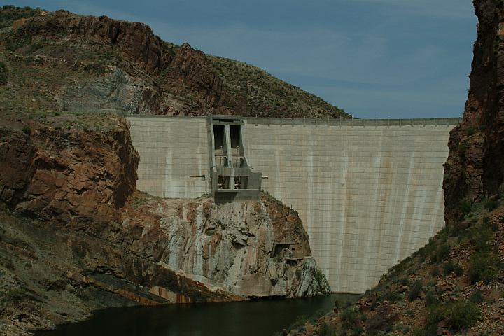
Theodore Roosevelt Dam
Junction of Hwy.188 and Hwy.88
CAMPGROUND INDEX
Complete free campground listing
CAMPING ADVICE AND TIPS
TOURIST
PHOTOS
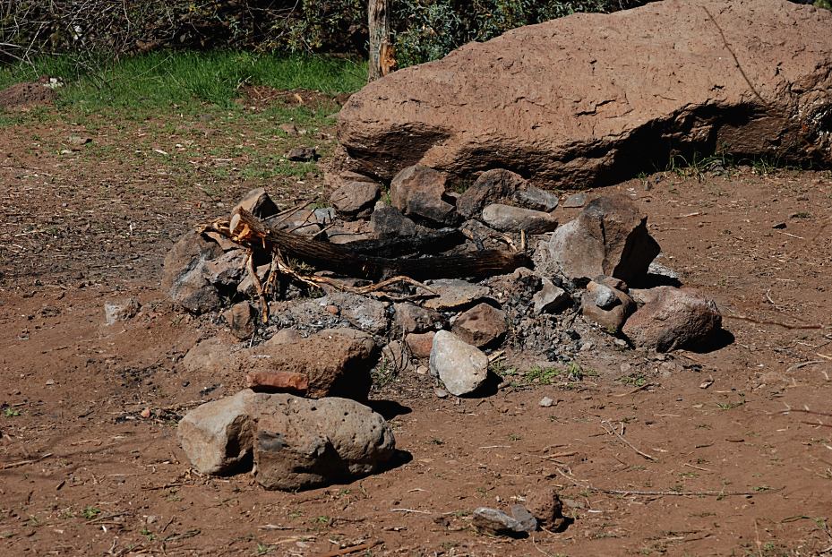
Camped here March 9, 2009
Temperatures were moderate in this area.
About 20 miles north there was still snow
on the ground and higher elevations were
much lower temperatures.

www.eugenecarsey.com
dispersedcampgrounds.com
Free campgrounds and camping
ARIZONA CAMPGROUND DIRECTORY
TONTO NATIONAL FOREST
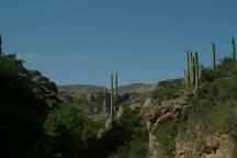
FOSSIL CREEK ROAD
|