|
|


|
Free campgrounds and camping |
|
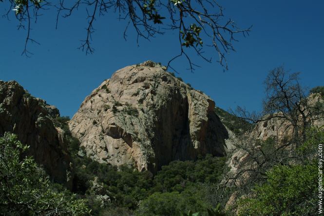
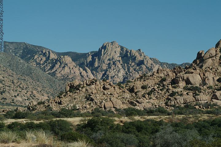
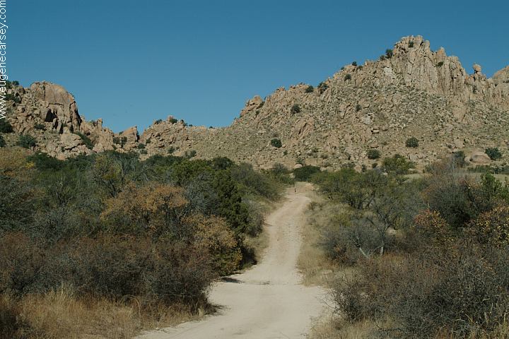
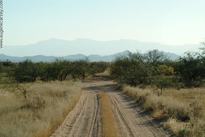
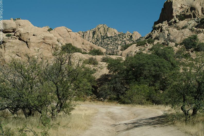
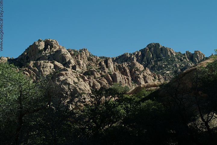
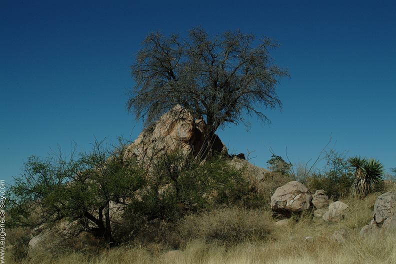
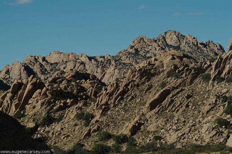
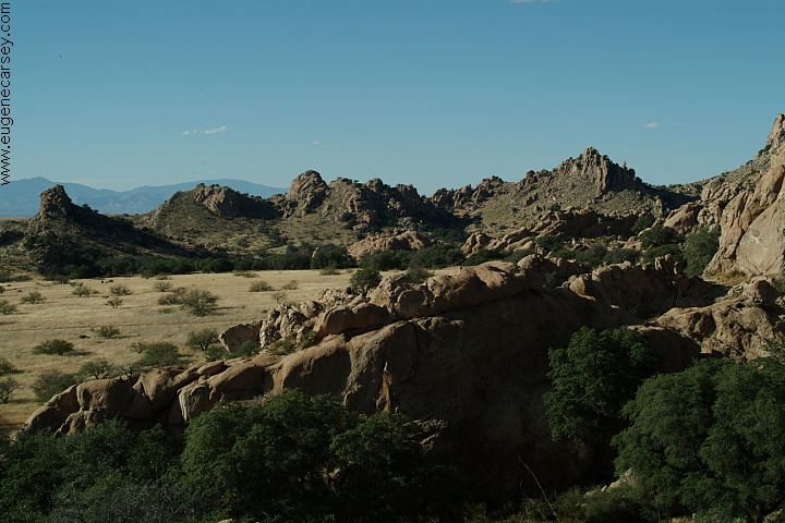
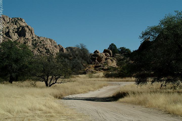
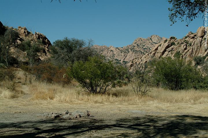
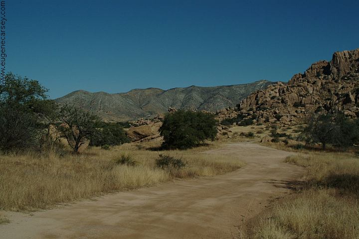
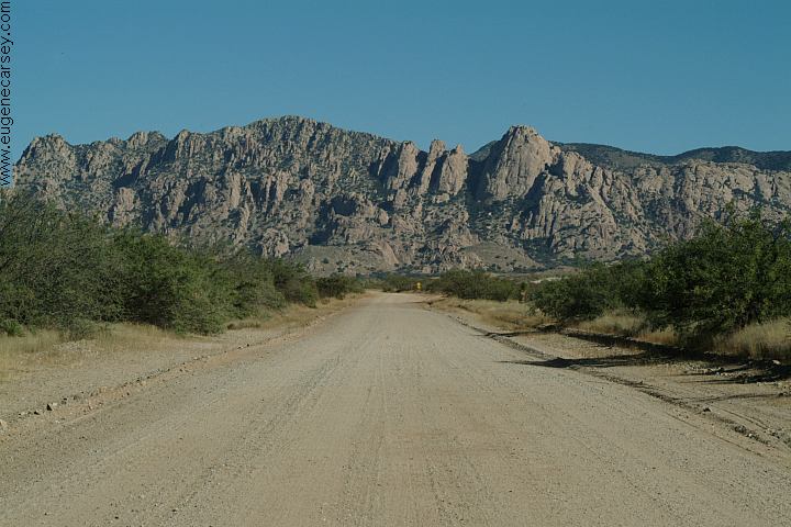
From Tombstone you can see Cochise The West Cochise Stronghold Road winds
|
|
As you explore the landscape you will
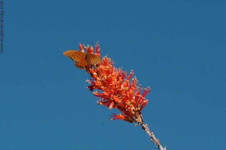
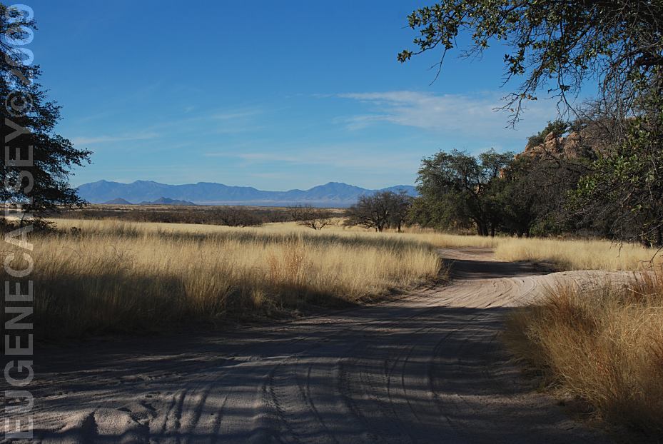
Deer and wildlife are common sights.
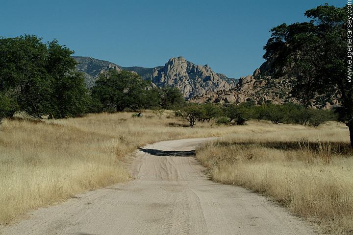
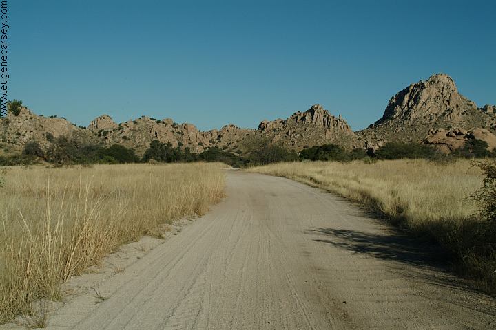
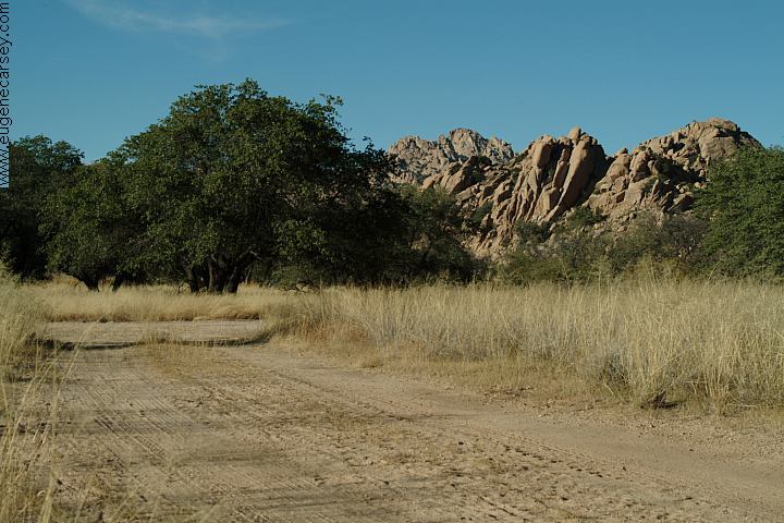
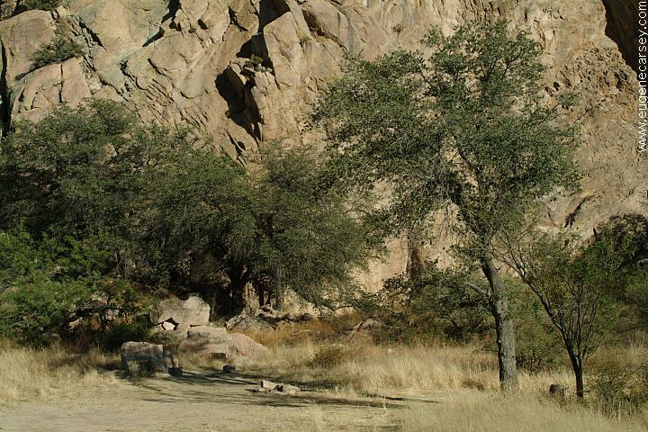
In above photo, there is a road that loops
There are camp areas almost every road...
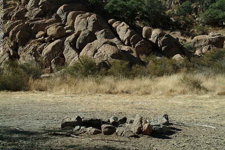
There is plenty of wood for a campfire, Camping Limit 14 Days FIRE RESTRICTIONS |


|
There are several smaller squares on
Don't leave valuables unattended.
RATTLESNAKE
FACTS COUNCIL ROCK: COCHISE TRAIL #279 |


|
DIRECTIONS:
ROAD CONDITIONS:
MAP
Nov.29, 2006 - Wild turkeys ran through
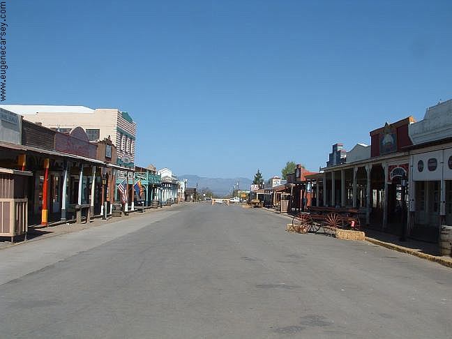
Tombstone is famous for it's western history, You will see cowboys hanging out on every
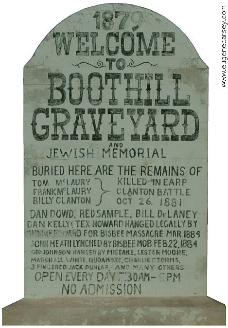
Tombstone Cemetery is on Allen Street
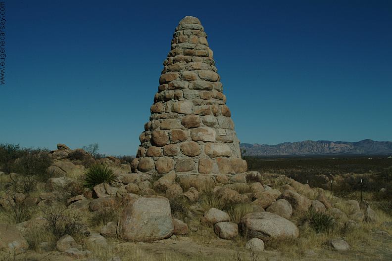
SCHIEFFLIN MONUMENT
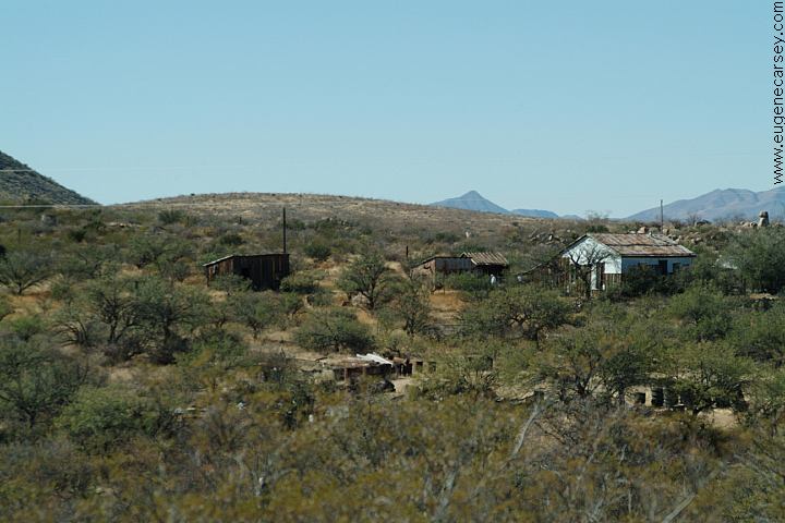
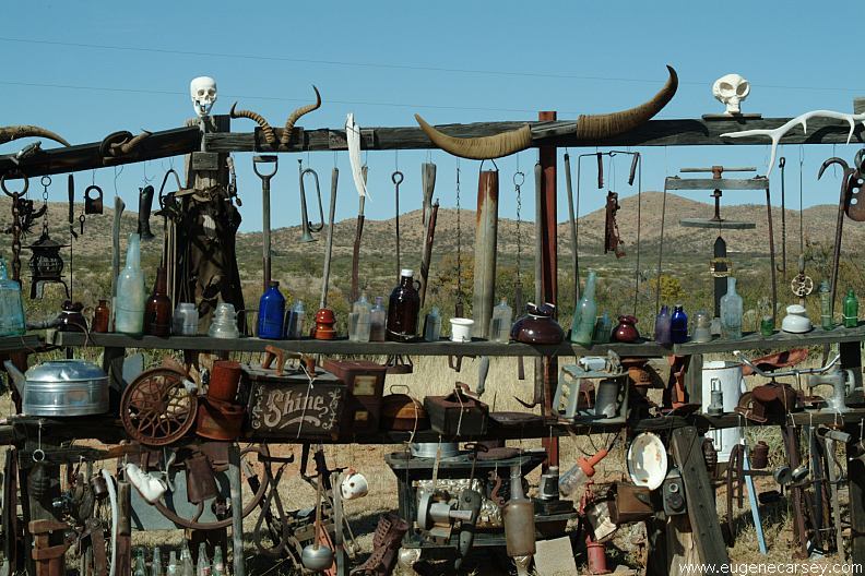
GLEESON, ARIZONA
RATTLESNAKE
RANCH Filtered water at the Circle K in Tombstone.
There is a water spigot at the picnic area on Showers at Tombstone RV Park |


Also see: COCHISE STRONGHOLD In extreme dry weather, bees congregate Above litterbugs arrived late at night and Camped here Nov.29, 2006 CAMPGROUND INDEX
dispersedcampgrounds.com

Chiricahua National Monument
Also see: CHIRICAHUA
Also see: MESCAL
Also see: ORGAN
PIPE CACTUS
Also see: TURKEY
CREEK ROAD
Also see: WHITEWATER DRAW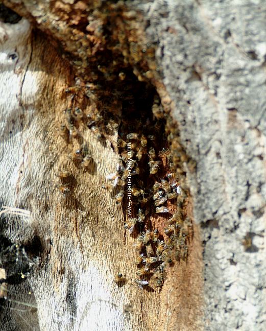
Killer Bees?
around water sources, such as a dog's water
bowl. Once attracted to such water sources...
good luck.
Karl Lalor... If your going to litter, don't leave
evidence with your name.
set-up their tent in the middle of the road
blocking access to our camp. Very nice
people, but complete idiots.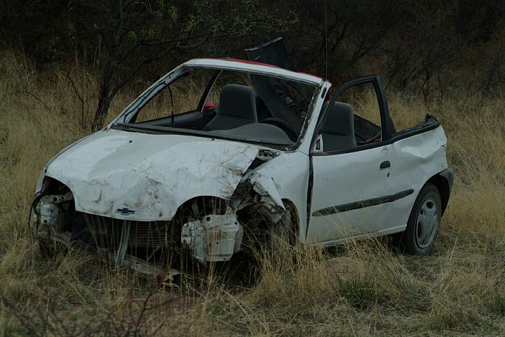
Junked vehicle... then threw their garbage
on the ground when driving away.
(VIN numbers and such removed from vehicle)
Katy's Cache (Official Geocache #1)
There is a note pad to leave your name and thoughts.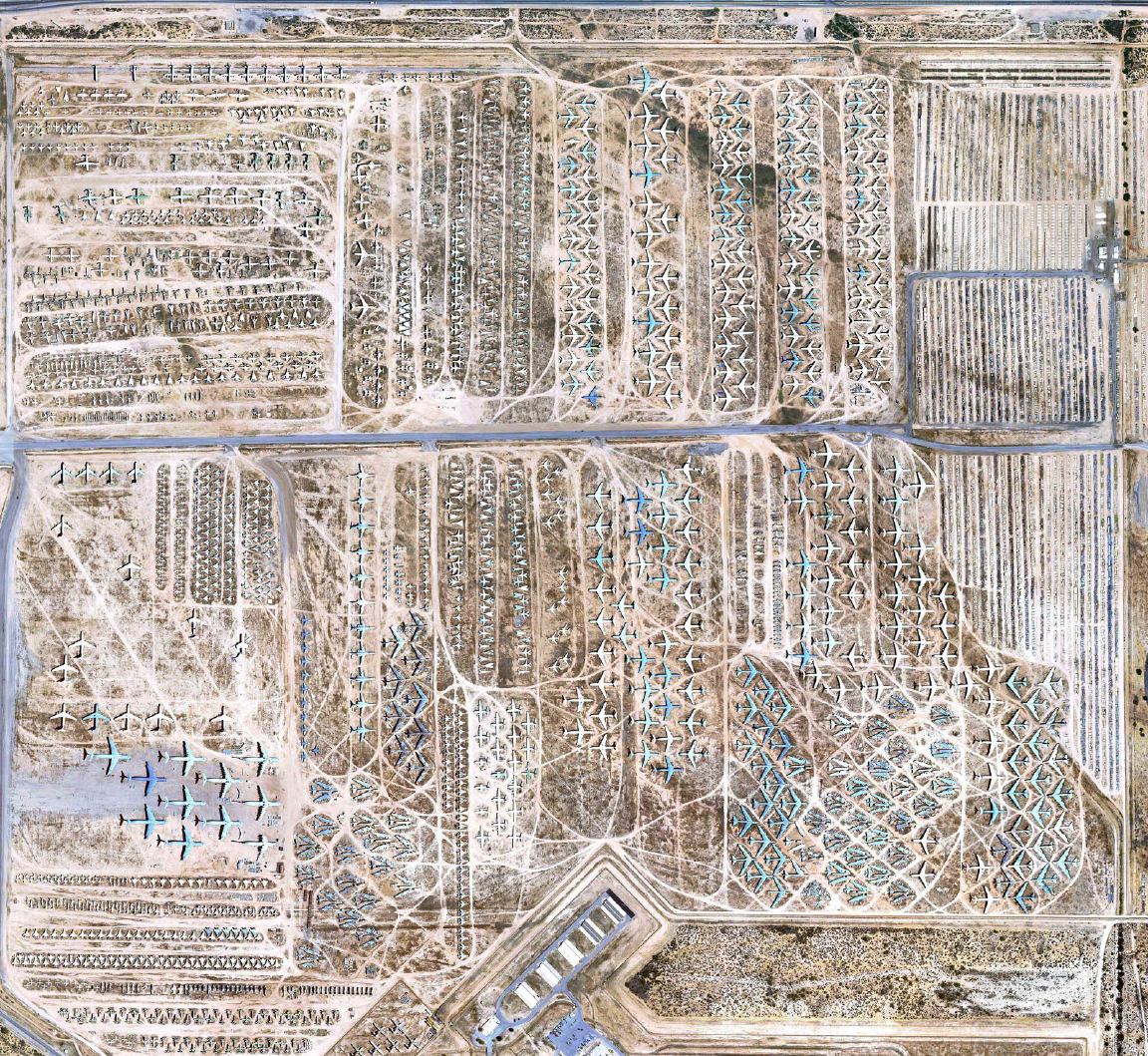
The Boneyard
Davis-Monthan Air Force Base is
home to thousands of outdated planes
and helicopters mothballed by the United
States Air Force and other allied forces. The
2,600 acre facility is the size of 1,300 football
pitches and sprawled across the desert in Tucson,
Arizona and houses the 309th Aerospace
Maintenance and Regeneration Group (AMARG)
This 60 year-old facility is America's only storehouse
for out-of-service aircraft.
We camped here numerous of times over
the years, but didn't keep records.
Camped here Feb. 20, 2009
It was more crowded than ever before.
In years past we would camp here and
might not see another person.
Camped here June 5, 2009
Camped here Nov. 30, 2009
It snowed with bad weather all week.
Camped here Jan. 26, 2010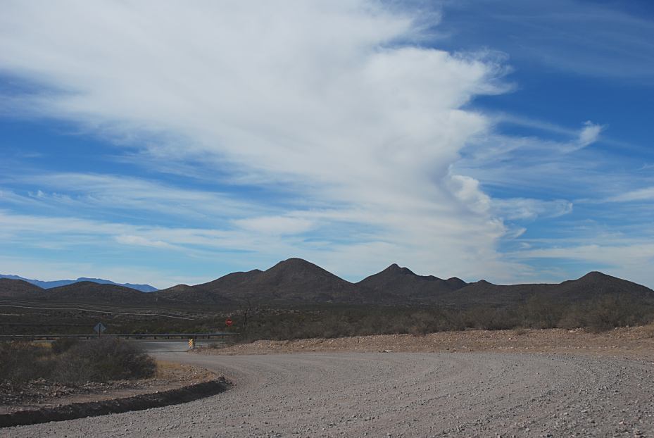
Funny Clouds
(Feb. 25, 2009)
Complete free campground listing
Free campgrounds and camping
ARIZONA CAMPGROUND DIRECTORY
CORONADO NATIONAL FOREST
WEST COCHISE VALLEY TRAIL
COCHISE STRONGHOLD WEST
