|
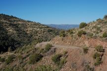
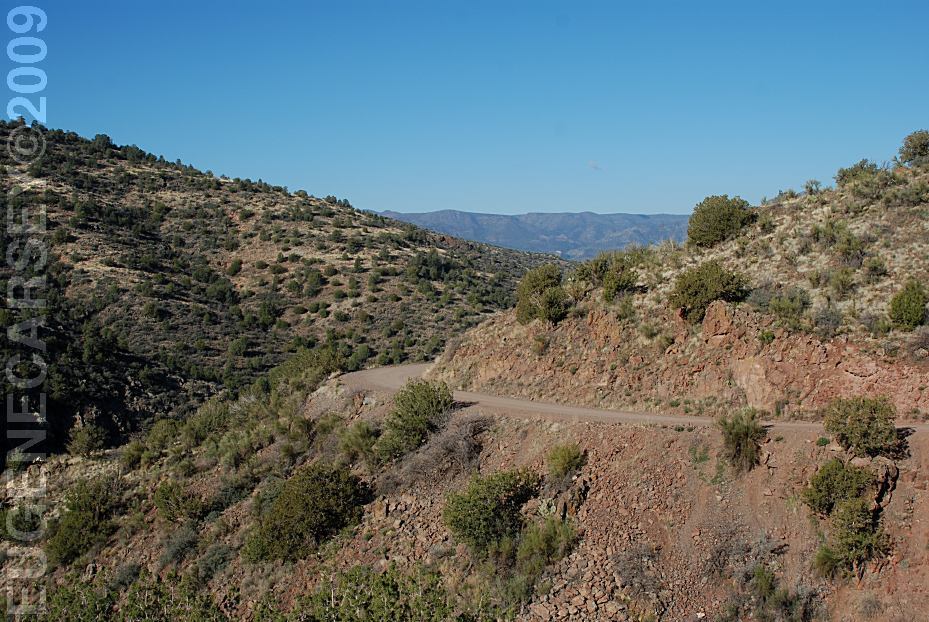
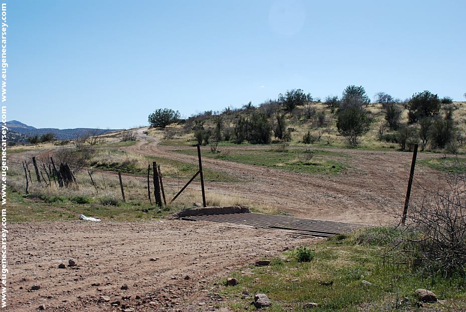
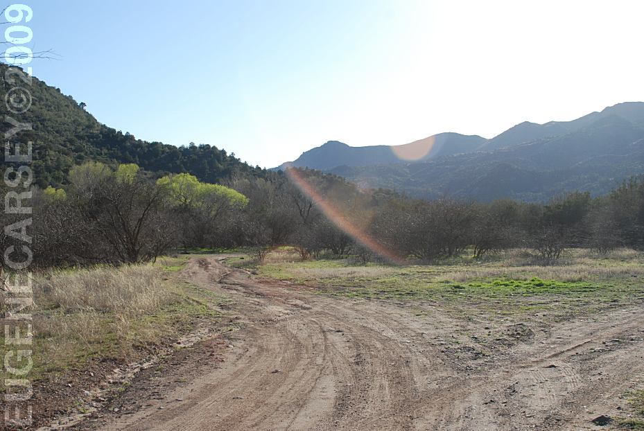
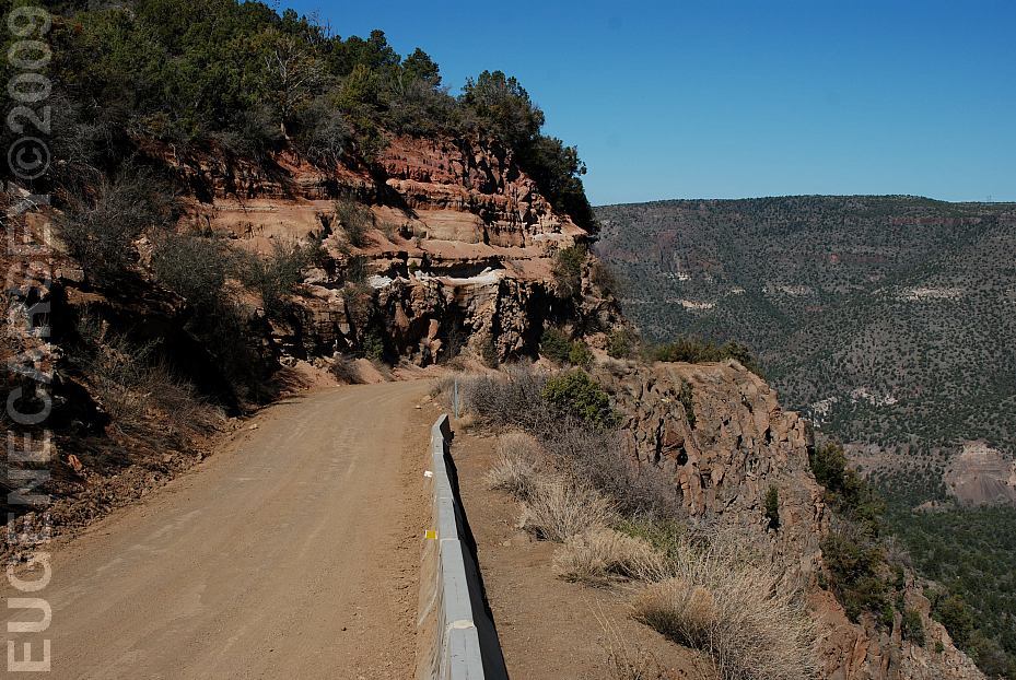
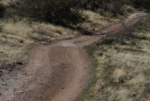
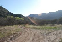
Fossil Creek Road
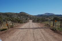
Fossil Creek Road
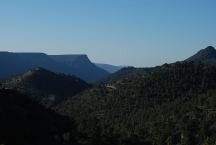
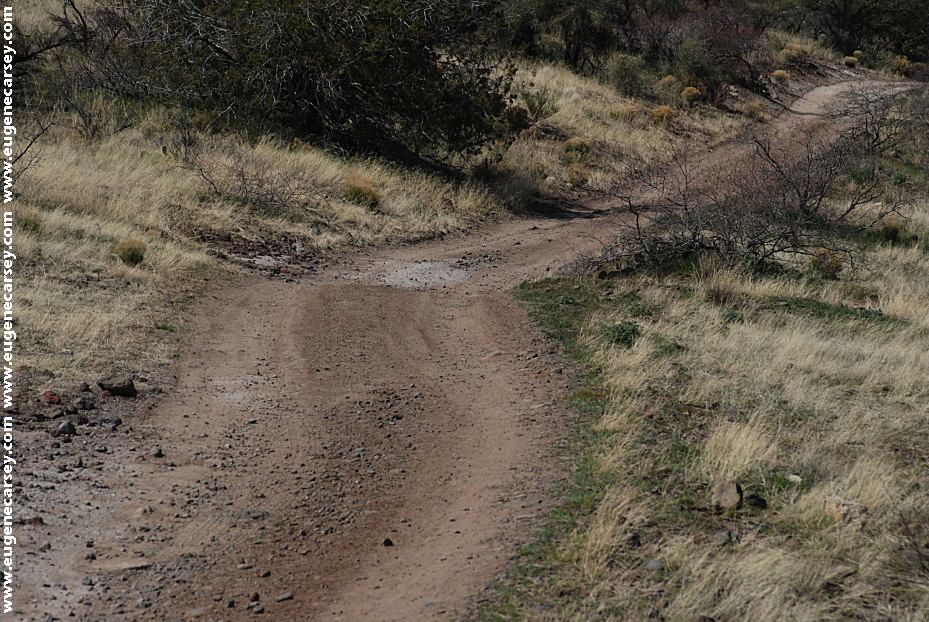
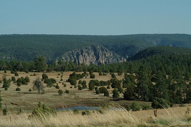
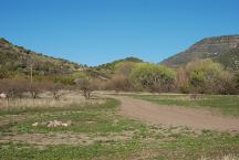
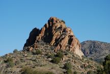
View from Fossil Creek Road
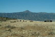
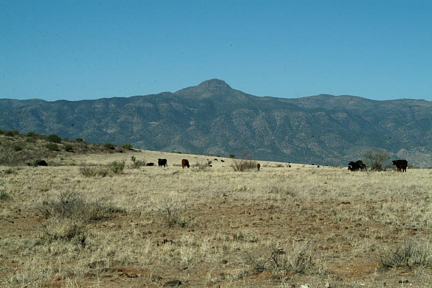
Cows on Fossil Creek Road
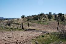
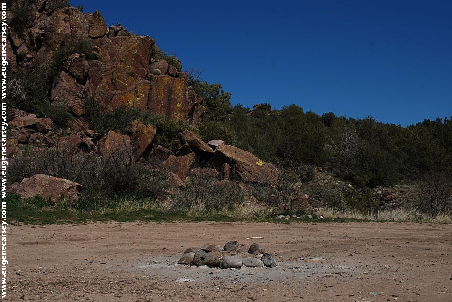
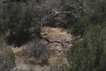
Dispersed Camp Area on Fossil Creek Road
LATITUDE: N 34°29.927
LONGITUDE: W 111°44.799
About a mile east from Hwy.260
Suitable for RVs and Trailers.
The roads are kind of rough and dusty.
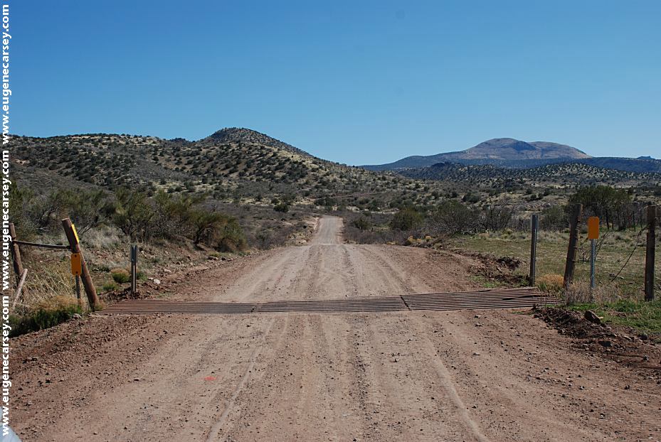
Road #500
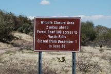
Road #500
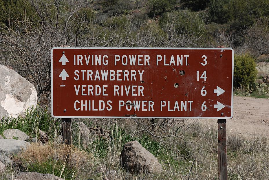
Wildlife Closure Area 2 Miles Ahead
Access to Verde Falls
Dispersed Camp Area on Fossil Creek Road
LATITUDE: N 34°27.733
LONGITUDE: W 111°42.963
About 5 miles east from Hwy.260
Campsites both side of the road.
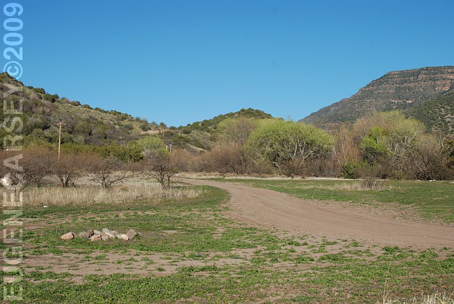
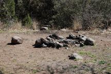
Dispersed Camp Area on Fossil Creek Road
LATITUDE: N 34°27.804
LONGITUDE: W 111°42.898
About 5 miles east from Hwy.260
Campsites both side of the road.
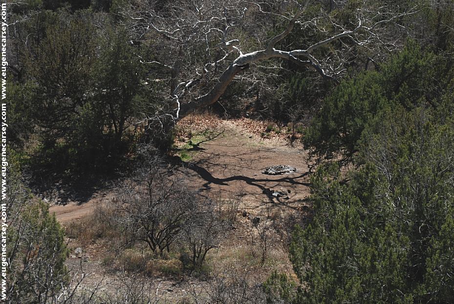
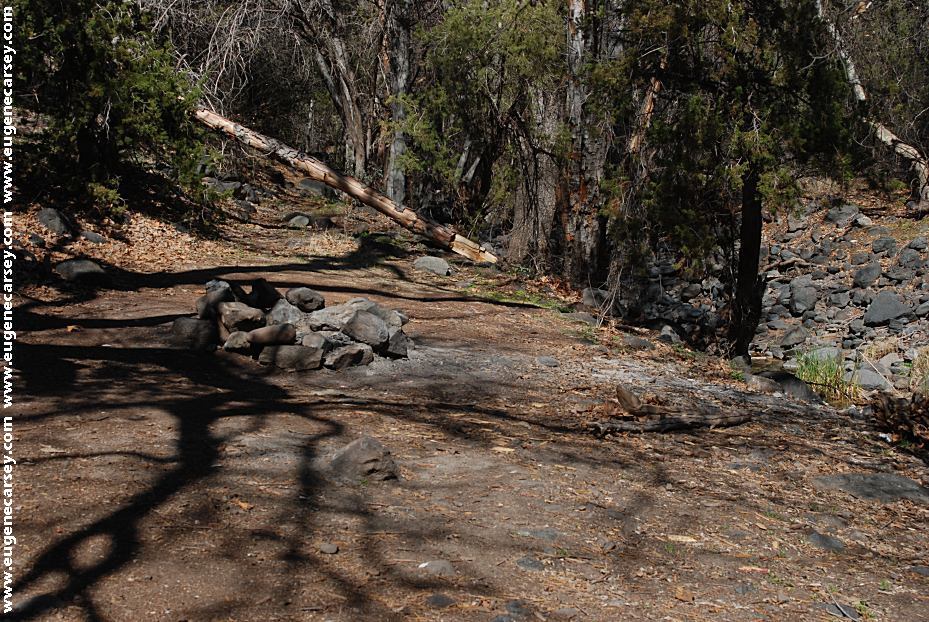
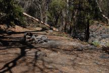
Several campsites hidden along xx Creek.
Camp on xx Creek
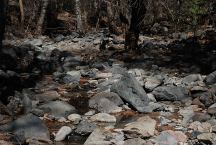
xx Creek
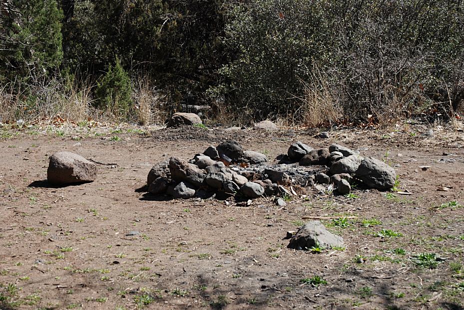
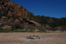
Dispersed Camp Area on Fossil Creek Road
Dispersed Camp Area on Fossil Creek Road
LATITUDE: N 34°23.622
LONGITUDE: W 111°38.590
About 14 miles east from Hwy.260
Big parking area near
Road continues to Fossil Creek with more campsites.
There are several more dispersed camping
areas on Fossil Creek Road.
View near Towel Creek Trailhead
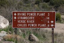
Sign at Jct. of Fossil Creek Road and Road xx
Road#xx towards Childs, AZ
There are several nice dispersed camp areas.
Dispersed Camp Area on Road#xx
LATITUDE: N 34°23.280
LONGITUDE: W 111°39.424
About a mile on Road#xx
This camp is kind of exposed to the elements.
Primitive Campsites
Pack Out Your Trash
14 Day Camping Limit
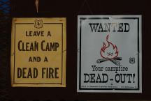
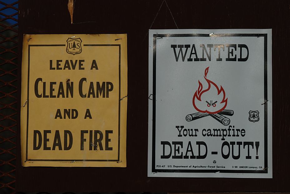
Leave a Clean Camp and Campfire Dead-Out!
Flash Flooding Possible
Avoid Low and Drainage Areas.
|