|
|


|
Free camping and campgrounds |
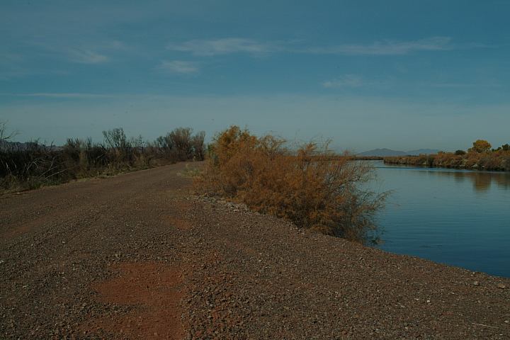
Levee road that follows along the banks Above image is from our campsite. The Colorado River serves as the border You forget that this is in the middle The night brought wild burros came into Manuel Martinez just dumps his garbage WARNING:
of the Colorado River. There are great
campsites between Ehrenberg and Cibola.
There are old river channels and backwaters.
It is one of those places you fall in love with,
especially on a hot day with the cool river.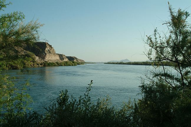
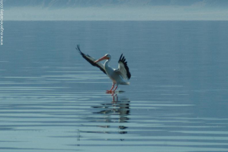
Colorado River
Life sure is good...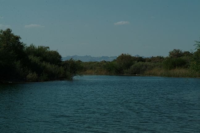
Colorado River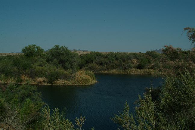
Old channel and backwaters.
(See GPS reading at top of this page)
between California and Arizona.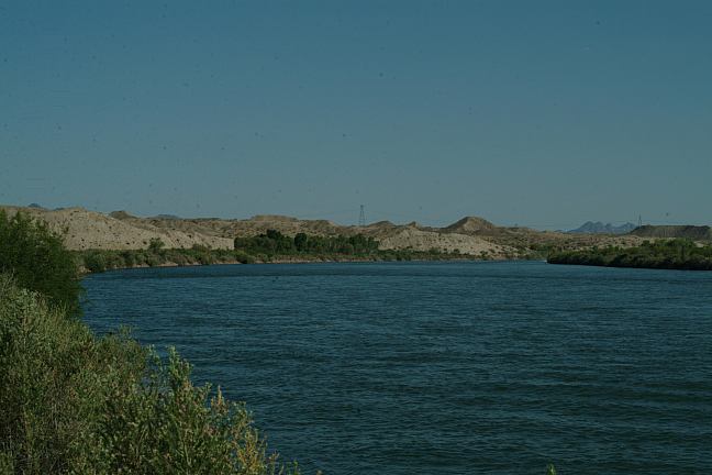
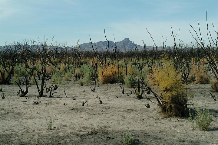
Badlands in the background
of the desert. There are more boats
than cars... and the boats are going
at a much higher rate of speed. 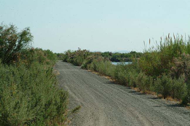
Levee Road along the Colorado River
the camp and were hee-hawing like there's
no tomorrow. Sounded like they were
injured, but that is their normal voice.
You can also see wild mustangs. 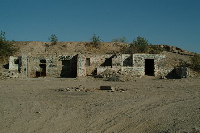
Old building along the Colorado River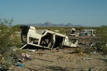
Upside down car...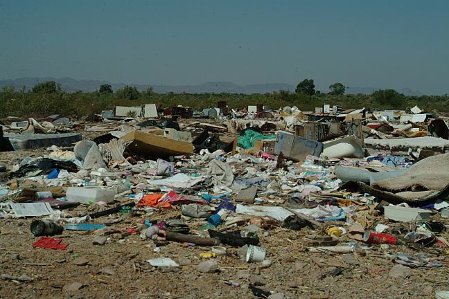
Dump site...
Manuel Martinez
on public lands. This is a crime.
Next time Mr. Manuel Martinez...
See: LITTER
HALL OF SHAME
Fire ants around here can be vicious.
Must of parked near their colony and
set my shoes outside. Went to put on
the shoes and got bit several times. Felt
like getting stuck by needles the next
15 minutes or so... the pain started going
away when suddenly heard the sound of
a rattlesnake... least the snake minded his
own business.
DIRECTIONS: From California ROAD CONDITIONS: MAP Beware of flash flood in bad weather. Holidays and what have you... there More dispersed camping from I-10 at Exit#1 Cotton is a common commodity produced
From Arizona
From I-10 take Exit#1 at Ehrenberg.
Drive past the Flying-J Travel Plaza
Turn left on Ehrenberg-Oxbow Road.
(Ehrenberg-Oxbow Road looks like an
alley or somebody's driveway)
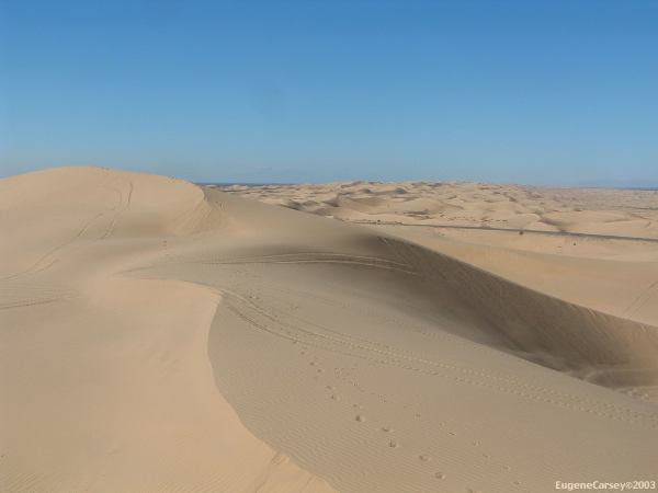
After passing Ehrenberg Sand Bowl
you will start seeing campsites. Best
camps are a couple miles.
North from Palo Verde on Hwy 78
Turn on Neighbors Blvd. going east.
Sign marks the road to Cibola NWR
Go across Cibola Bridge.
Turn left and go north on dirt road
(Just the other side of the bridge)
The roads are rough with washboards.
Be careful of road hazards, such as flood
damage or rocks... the roads are part of
the levee system and are maintained to a
limited extent.
These are our personal hand drawn maps
Not guaranteed for accuracy
Don't try crossing washes if flooded.
could be thousands of people???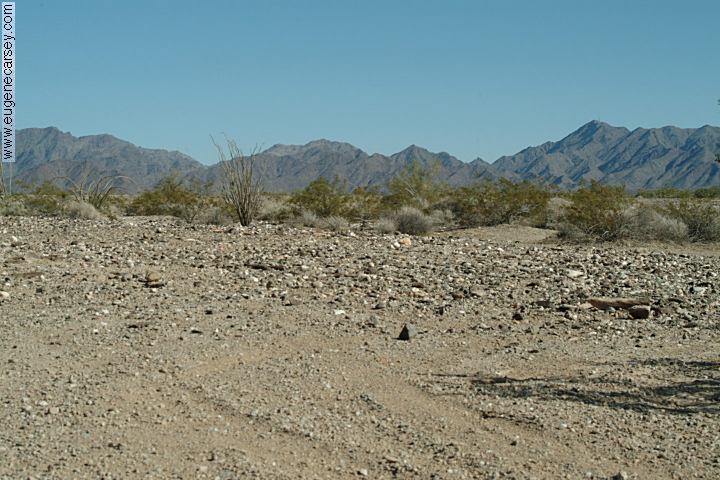
I-10 Exit#1 Dispersed primitive camping
N 33°35.392
W 114°29.074
Turn the opposite direction from the Flying-J
Travel Plaza and follow the road going east....
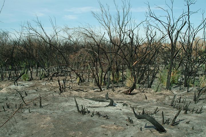
This is an extreme desert environment...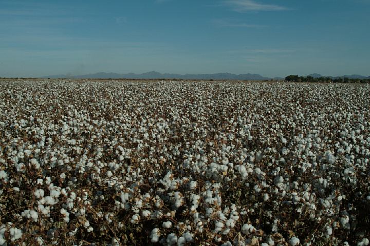
Cotton Fields
by the farms in the surrounding area. Farming
in the desert must take some serious fertilization.
In this area with the river, there has always been
farming activity, but we are seeing new farms
being established at a rapid pace throughout the
SW Arizona desert. This land was never meant
to be cultivated and will someday take revenge.
|
CIBOLA NATIONAL WILDLIFE REFUGE Distances from Cibola, Arizona:
Purified/ Filtered drinking water in
Quartzsite.
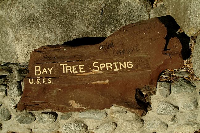
Best spring water at BAY TREE SPRING Garbage and water at Palo Verde Park Buy gas on the Arizona side of the boarder. Wireless Internet at Flying-J Travel Plaza Camped here May 6-7, 2006
TOM
WELLS ROAD
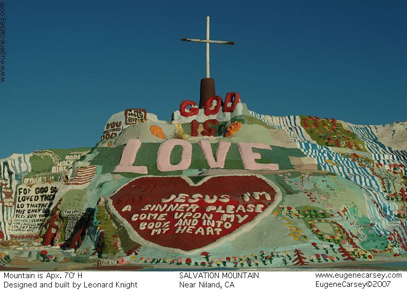
SALVATION MOUNTAIN
Also see: ALAMO LAKE
CAMPGROUND INDEX
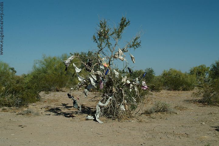
Tree covered with old underwear. Free campgrounds and camping |