|
Free camping and campgrounds |
|
When pulling off Road S2 towards Blair Valley, there is a primitive campground with outhouse. If you follow the road markers toward the Pictograph Trailhead are more dispersed campsites along the way.
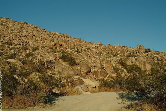
Mountains are made of a million boulders.
From the trailhead is a 1 mile walk to the Pictograph. No dogs allowed. Travel on established roads only.
|
|
Also see: CARRIZO BADLANDS Also dispersed camping at NUDE WASH DIRECTIONS: Showers at Ocotillo Wells SVRA
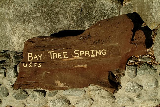
Best spring water at BAY TREE SPRING Purified water at Borrego Springs/ Road S2 Cheapest gas in Romana on Hwy.78 WARNING: |
|
Maybe it was the holiday weekend, there were
cars everywhere. If you enlarge above image, there was traffic
congestion in the middle of the desert.
Camped here Nov.21-22, 2005
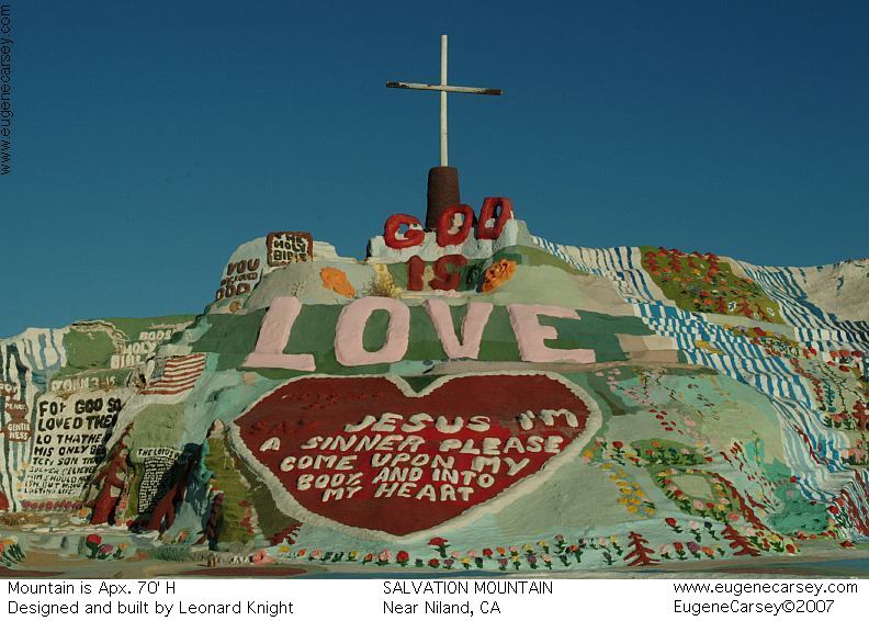
SALVATION MOUNTAIN
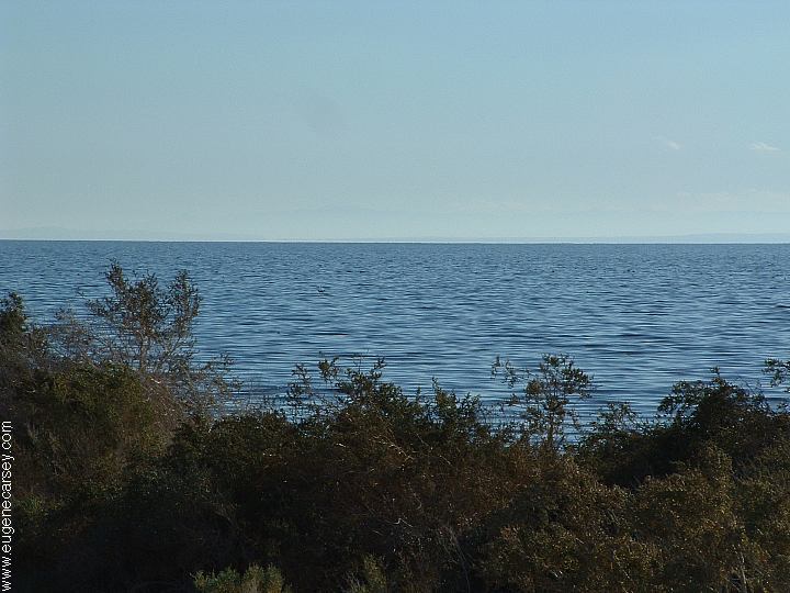
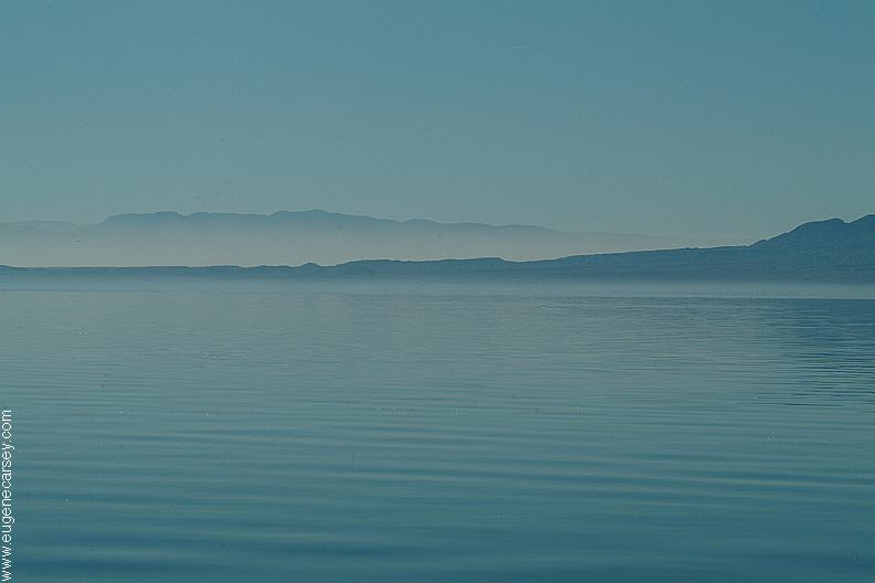
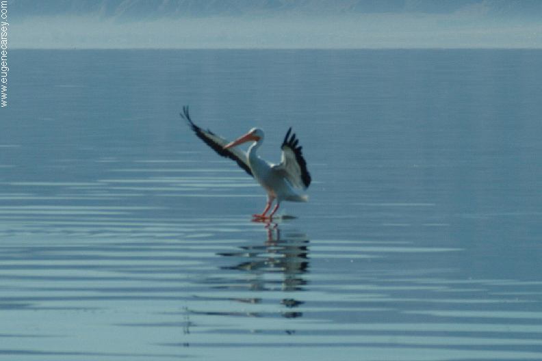
SALTON SEA Also see: BETTY'S KITCHEN
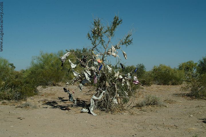
Tree covered with old underwear.
CAMPGROUND INDEX
dispersedcampgrounds.com |