|
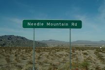
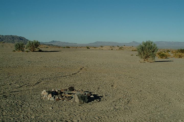
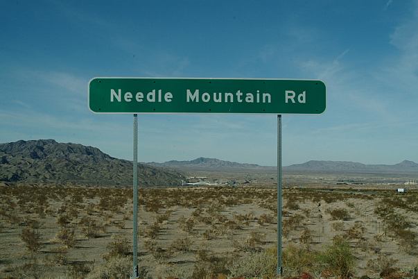
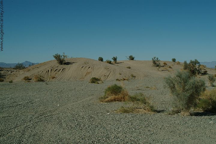
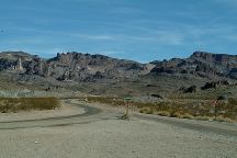
Needle Mountain Road
DIRECTIONS:
I-40 east from the California/Arizona boarder
Exit 2.and there are signs clearly marking
Needle Mountain Road. It looks like the road
ends, but it continues a couple miles. You can
camp almost anywhere.
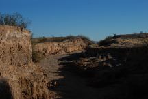
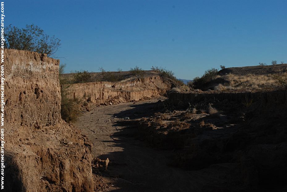
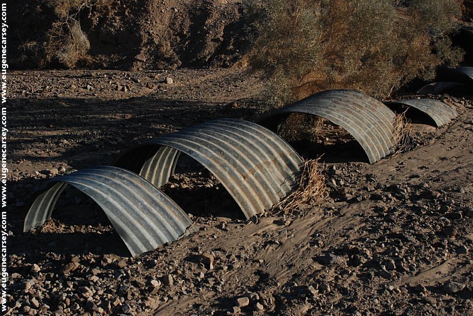
Flood damage on Needle Mountain Road
Apx. 20' deep wash cutting across the road.
Jan.27, 2010
Flood damage on Needle Mountain Road
ROAD CONDITIONS:
About a 1/2 mile dirt road.
The main road was washed out and you
have to drive down through the gulch.
Passenger vehicles need to use caution.
Not recommended for RVs
Cheapest gas is in Arizona!!!
Lake Havasu City is usually the best price
(Needles, CA is about the most expensive
gas in the USA)
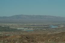
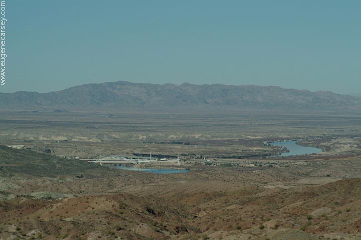
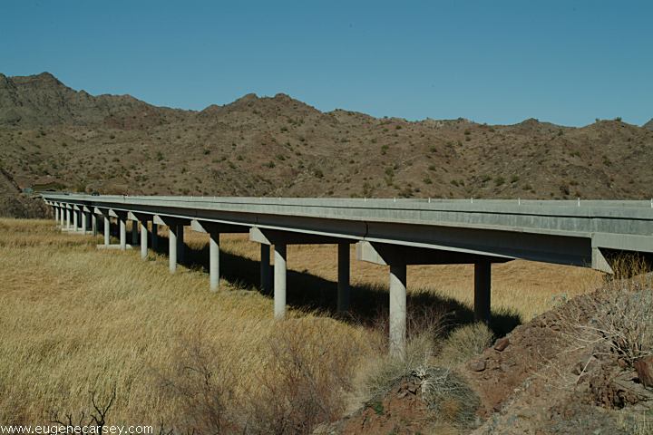
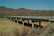
Interstate 40 Bridge and the Colorado River
Showers at Crazy Horse Campgrounds
in Lake Havasu City $4.00
Showers at Lake Havasu State Park
$7 per car
Shower at Q Laundromat in Quartzsite
$5 per person

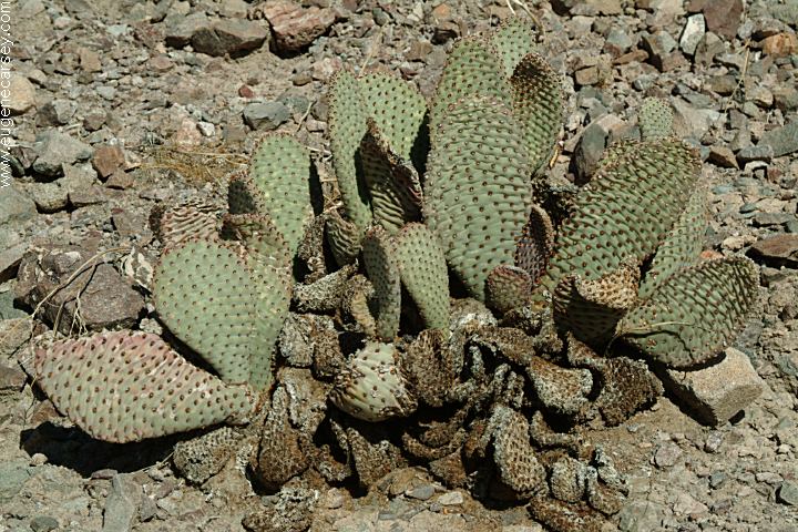
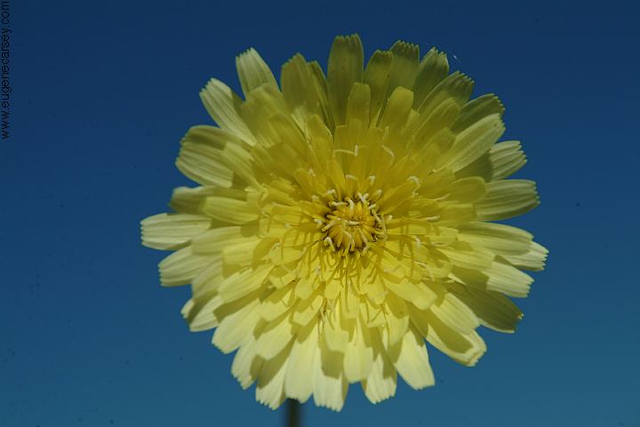
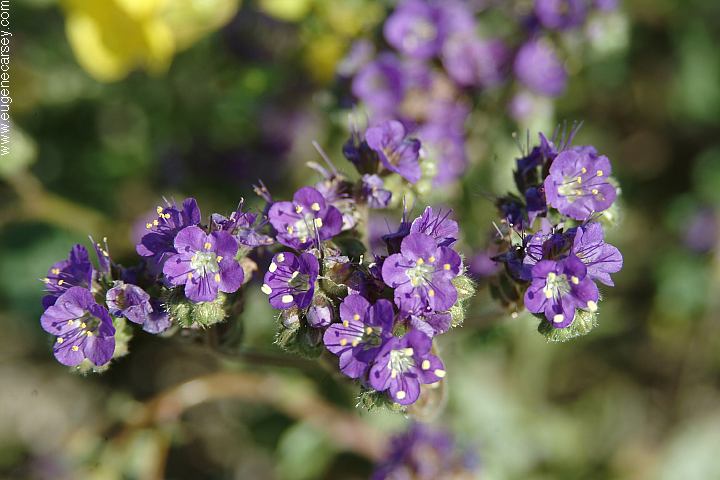
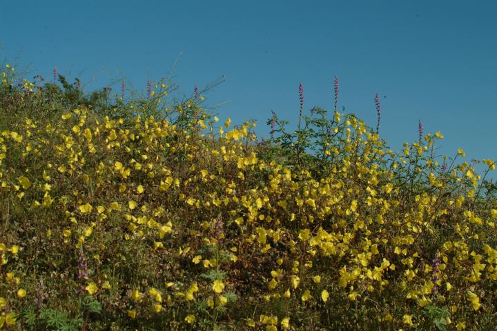
Flowers at Needle Mountains
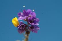
Flowers at Needle Mountains
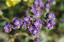
Flowers at Needle Mountains
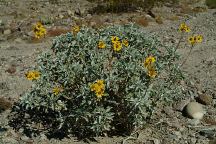
Flowers at Needle Mountains
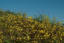
Flowers in the Springtime (2005)
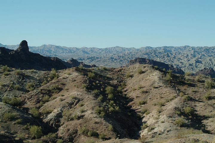
Needle Mountain Road
It rained heavy is spring 2005 and turned
the whole desert green with flowers every-
where.
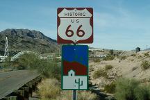
Historic Route 66 towards Havasu NWR
I-40 at Exit#1
Catfish Paradise
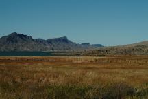
Havasu National Wildlife Refuge
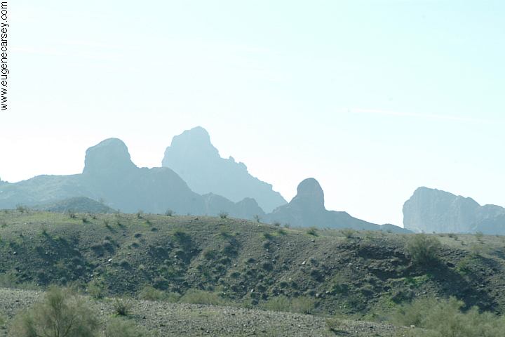
Needle Mountains in the background
If you take I-40 to Exit#1 and go north
towards Golden Shores is Havasu NWR.
This is part of Historic Route 66 with
some interesting history.
Catfish Paradise Views
Catfish Paradise Boat Ramp
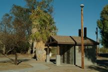
Catfish Paradise Vaulted Toilet
Catfish Paradise is a Day Use Area.
Boat Ramp and Wildlife Viewing.
Vaulted toilets, and garbage bins.
There are good shade areas to park.
(About 5 miles from Needle Mountain)
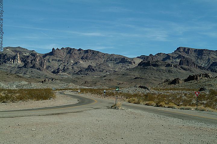
Historic Route 66 towards Oatman, Arizona
Junction of Boundary Cone Road
Very scenic views on Historic Route 66
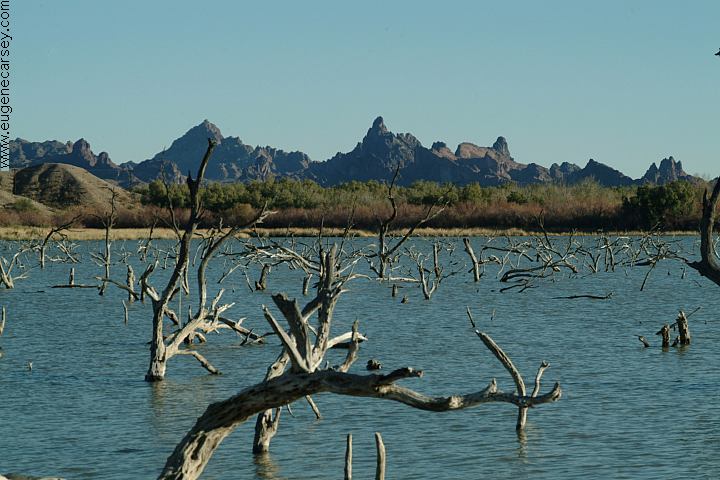
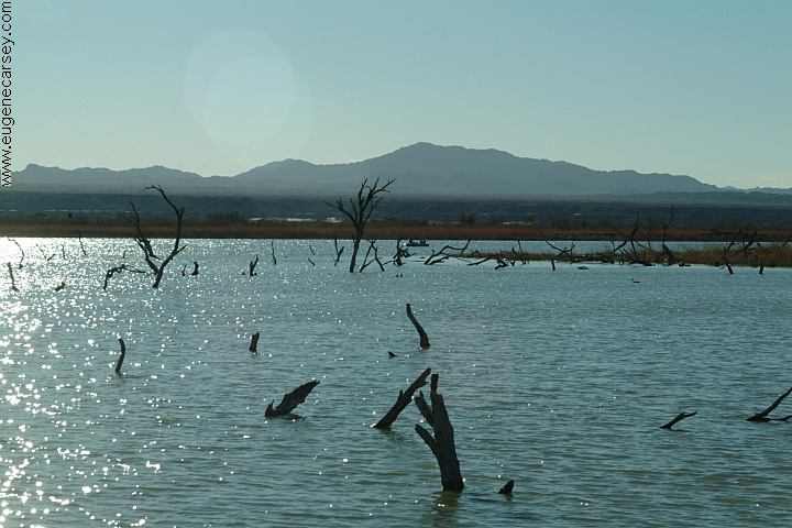
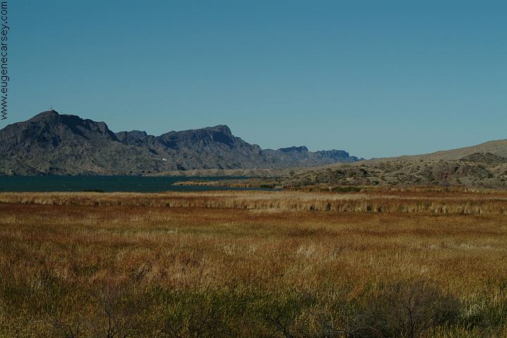
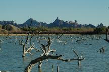
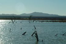
Bill Williams River National Wildlife Refuge
Bill Williams River National Wildlife Refuge
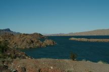
Bill Williams River National Wildlife Refuge
BILL WILLIAMS RIVER REFUGE
Bill Williams River Refuge encompasses
6,105 acres. Home to many native plants,
animals and migratory birds. Don't be
surprised to see bald eagles.
CRAGGY WASH
Craggy Wash is just north of Lake Havasu
City. The name is a accurate description...
Established primitive camping along the
road that winds through the canyons.
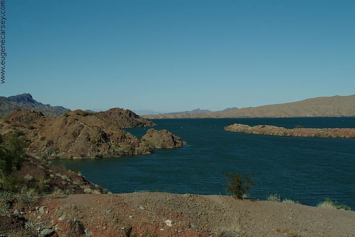
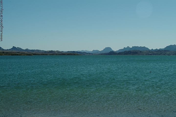
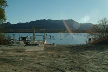
LAKE HAVASU
About 20 miles south on Highway 95
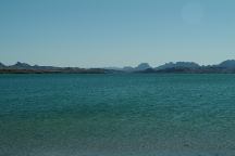
London Bridge Beach
|