|
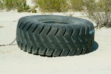
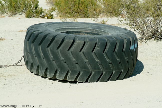
Turn at the big tire
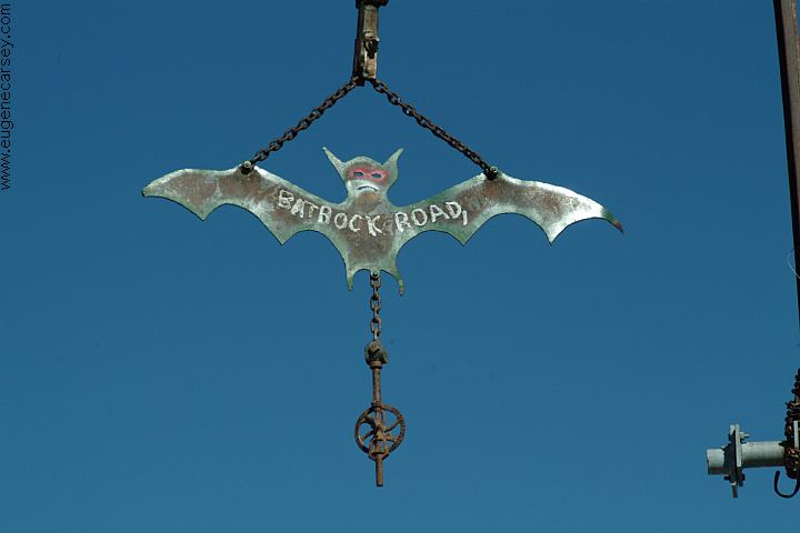
Jct. Saline Valley Road and Bat Rock Road
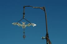
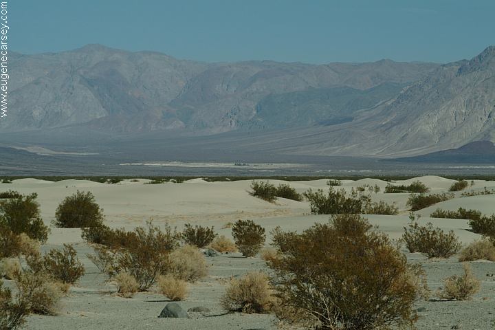
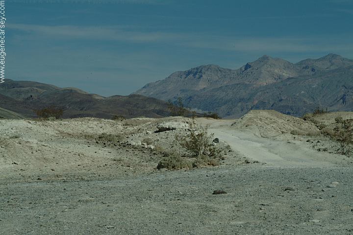
Bat Rock Road
Bat Rock Road
DIRECTIONS:
From Big Pine / Hwy. 395
Take Hwy.168 a couple miles
Turn right on Death Valley Road
Go 14 miles to Saline Valley Road
Turn south on Saline Valley Road
About 30-40 miles there is a big tire
on side of the road. Turn left and
Saline Warm Springs are apx. 7- 8 miles
From Hwy.190 near Paramint Springs
Take Saline Valley Road north
(Towards Lee Flats Joshua Trees)
Stay left when pavement ends
Turn right at the big tire...
MILEAGE CHART:
(From Hwy.168 and Death Valley Rd.)
Saline Valley Road 14 miles
Eureka Valley Road 37 miles
Scotty's Castle 73 miles
Furnace Creek 126 miles
Next Services 126 miles
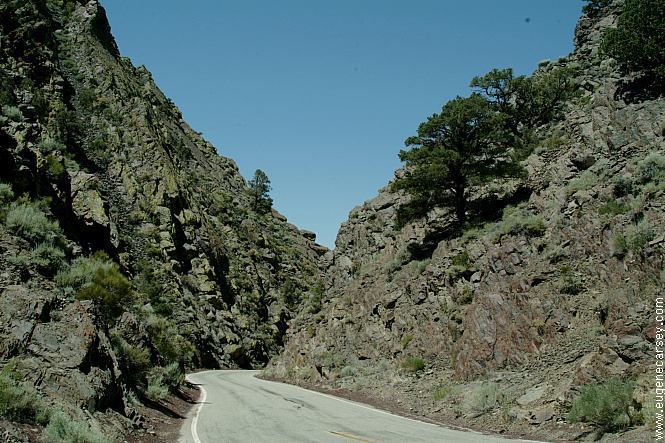
ROAD CONDITIONS:
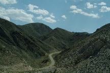
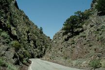
Saline Valley road is rough.
Passenger cars can make the journey.
but people might wonder if your crazy.
It can snow in the winter months.
Fill your gas tanks up...
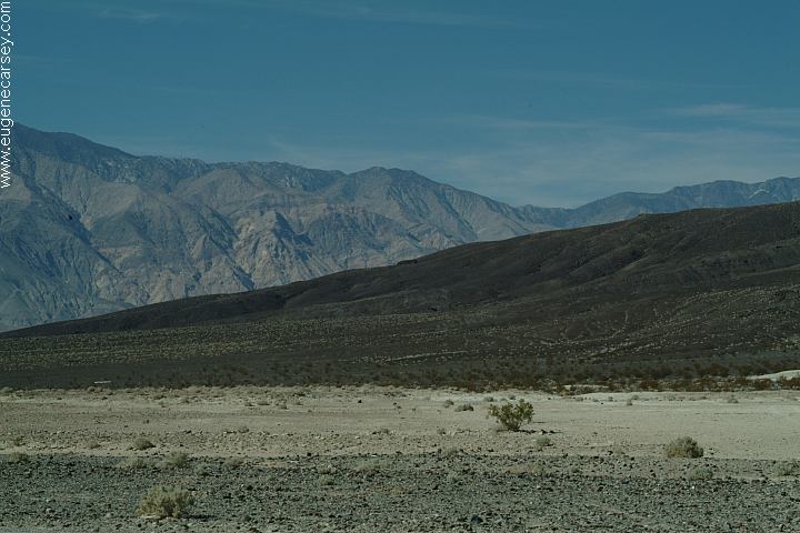
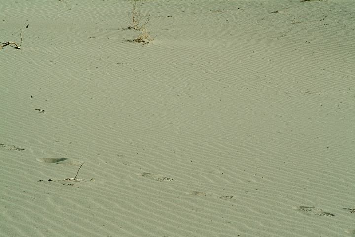
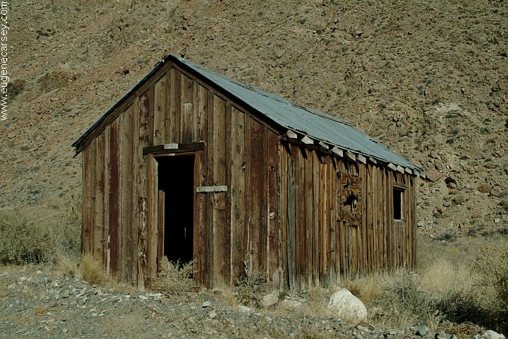
Bat Rock Road
Bat Rock Road
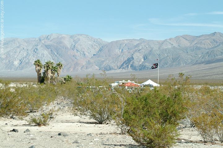
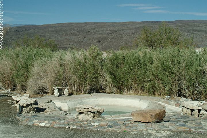
Shower and tub at Saline Warm Springs.
You are in public view...
Showers at Furnace Creek Visitor Center
Showers located in Big Pine
Buy token at the Mobil Gas Station.
Cost $3.50 for 10 minutes.
While there are no fee stations out here,
Death Valley entrance fees are $20 per vehicle.
It is recommended to buy a National Parks Pass
Covers entrance fees to all National Parks and
most fees for National Forests and BLM Lands.
Valid one year from month of purchase.
Death Valley Road
Highway 168, CA

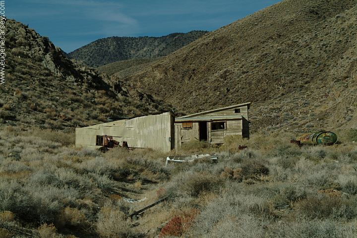
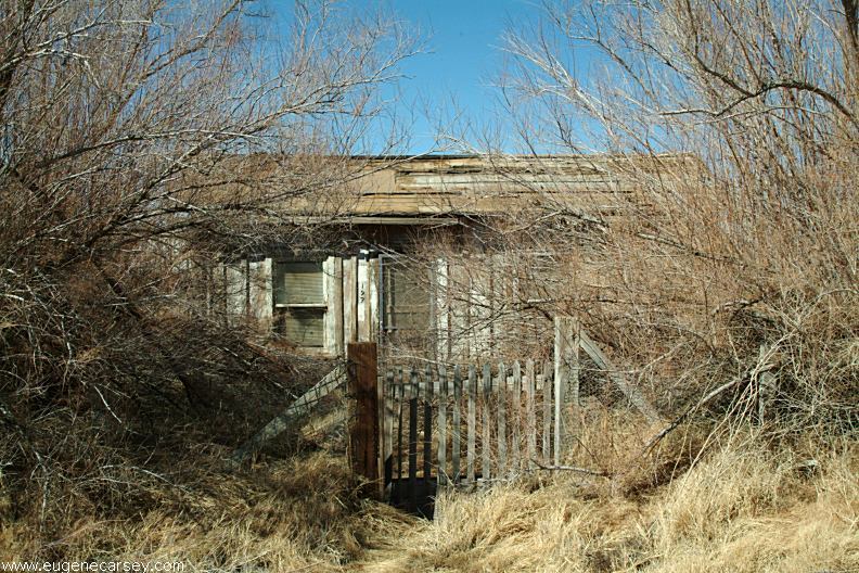
Old house in Keeler, CA
KEELER,
CALIFORNIA
Photos from Keeler, CA
Located on Hwy.136
13 miles east from Lone Pine, CA
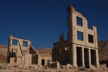
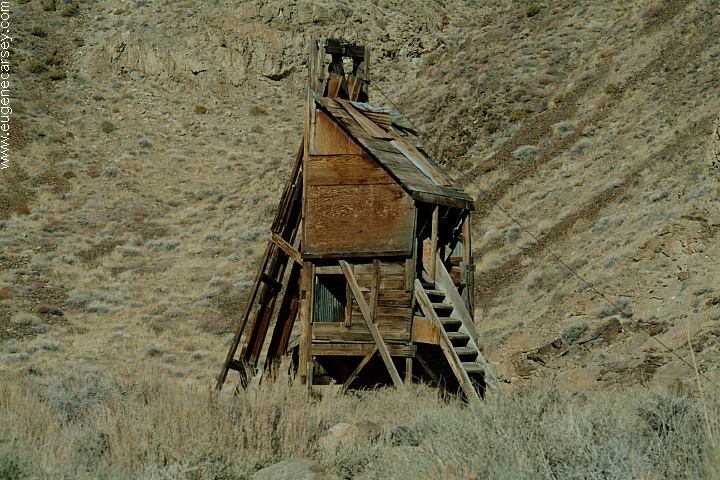
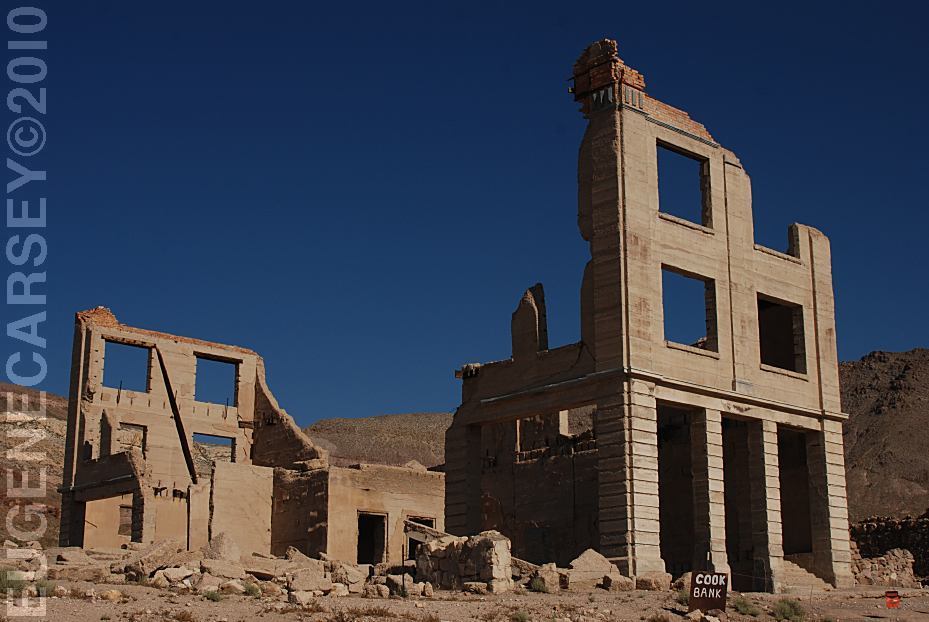
Rhyolite Ghost Town
RHYOLITE GHOST TOWN
LATITUDE: N 36°54.000
LONGITUDE: W 116°49.755
Not actually in Death Valley National Park,
but included in most Tourist Guides..
Also see: ALABAMA HILLS
Also see: BAKER CREEK
Also see: BRECKENRIDGE
Also see: BRISTLECONE PINE FOREST
Also see: CHIMNEY
PEAK
Also see: CRAGGY
WASH
Also see: CROWLEY
LAKE
Also see: DEADMAN
CAMPGROUND
Also see: GOVERNMENT WASH
Also see: JAWBONE
ROAD
Also see: KEYESVILLE
ROAD
Also see: LAKE
ISABELLA
Also see: MOJAVE
NATIONAL PRESERVE
Also see: NEEDLE MOUNTAINS
Also see: SHERMAN
PASS ROAD
Also see: TRONA
PINNACLES
Also see: WAGON WHEEL
Also see: WALKER
PASS
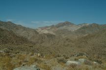
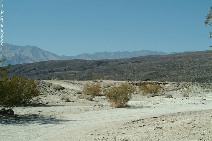
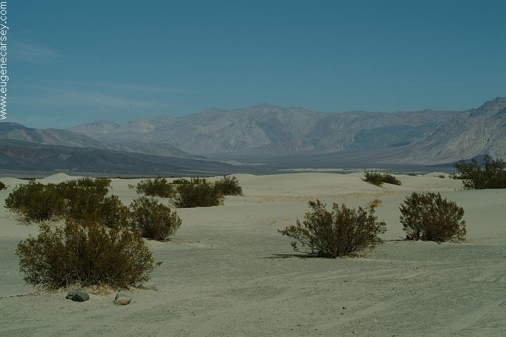
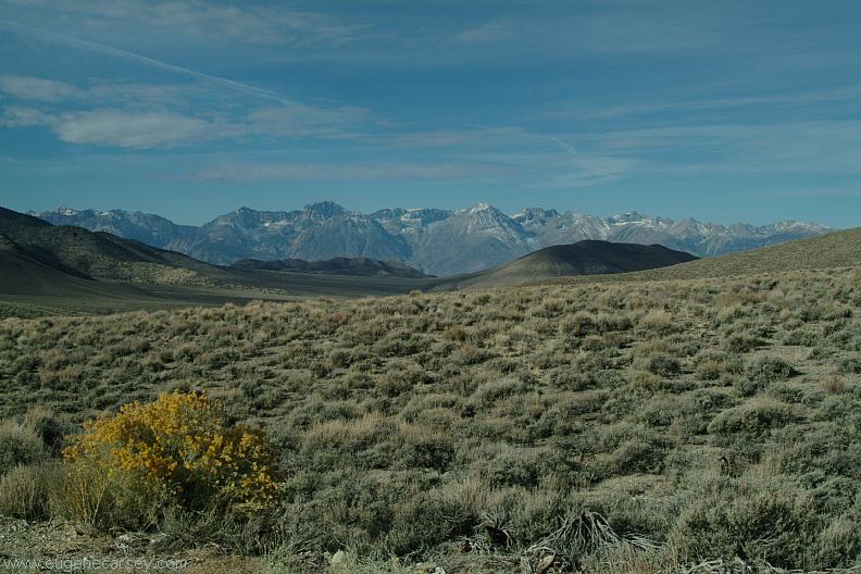
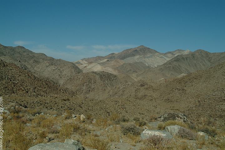
Saline Valley Road
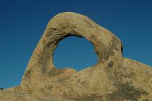
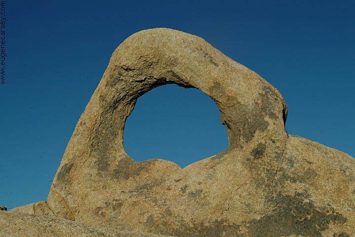
Arch Off Whitney Portal Road
Alabama Hills Recreation Area
ARCHES
OF
ALABAMA HILLS
There are hundreds of natural arches and
windows throughout the Alabama Hills.
Located west from Lone Pine, CA

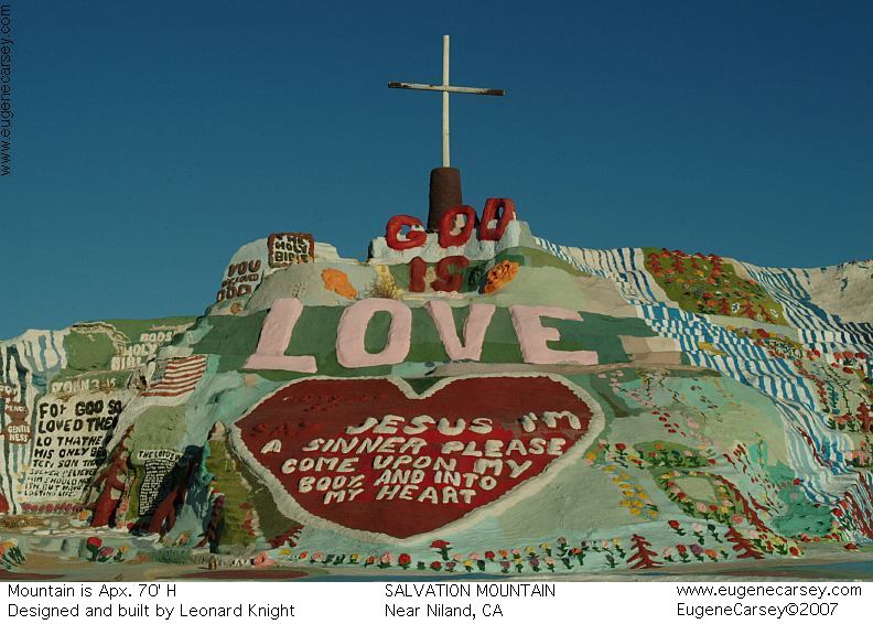
Salvation Mountain
SALVATION MOUNTAIN
Leonard Knight's Salvation Mountain
Take Hwy.111 south to Niland, CA
CAMPGROUND INDEX
Complete free campground listing
CAMPING ADVICE AND TIPS
TOURIST
PHOTOS

www.eugenecarsey.com
Free campgrounds and camping
CALIFORNIA CAMPGROUND DIRECTORY
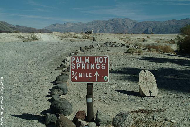
PALM HOT SPRINGS
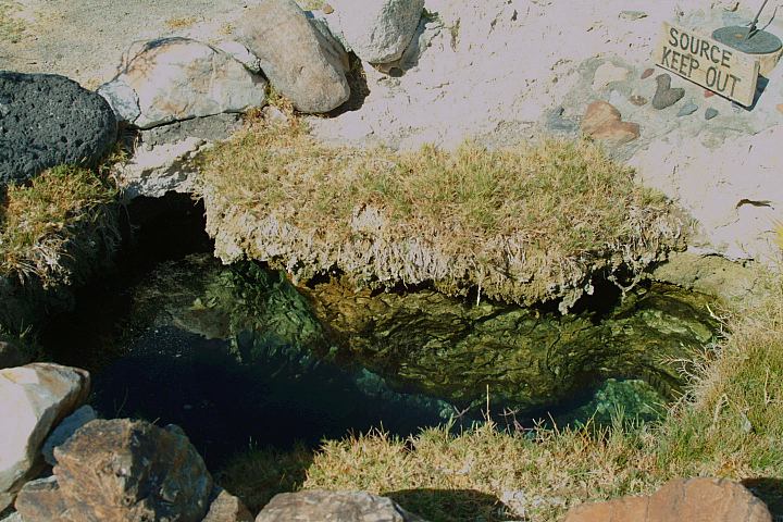
SALINE VALLEY WARM SPRINGS
DEATH VALLEY NATIONAL PARK
|