|
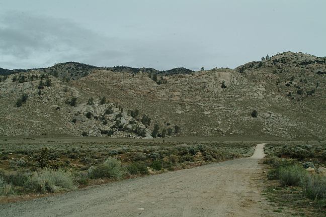
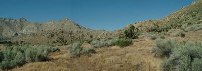
We never stayed at this campground,
preferring Trona Pinnacles or Breckenridge
Campground, but Walker Pass Campground
is nice. There are some great views and
interesting history with some hidden secrets...
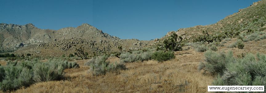
Walker Pass Campground
Walker Pass Campground
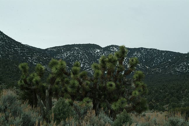
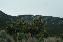
Joshua Tree with Snow in Background
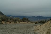
A storm was brewing.
Snow in the above photo...
Picnic Tables
Metal Firerings
Vaulted Toilet
Shade Ramadas
Water is considered safe?
No garbage collection
Donations
BLM
Elevation 5000'
DONATIONS:
Your donated funds will be returned to
the campground and will be used to
maintain and improve the area. From
April 1997 to September 2004, $2,412.02
was received. All contributions are
tax deductible. Comments and
suggestions are welcome.
For more information:
Bureau of Land Management
3801 Pegasus Drive
Bakersfield, CA 93308
661-391-6120
DIRECTIONS:
Hwy.178
The turn is on a curve and takes you by surprise.
When you see the sign saying the elevation is 5000'
The road is a couple hundred yards east of the sign
Road is hard see with bushes obscuring the entrance..
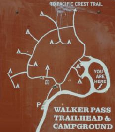
MAP
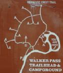
Walker Pass Trailhead and Campground
Pacific Crest Trail
Hwy.178 near Walker Pass
102.5 FM for Road Reports
1610 AM National Weather Service Broadcast
1140 AM Lake Isabella
How do they get water to the hydrants in
Walker Pass Campground? It's not easy.
A large generator must be hauled from
Bakersfield to power a pump that supplies
a water storage tank. The pump must operate
for three hours to fill 850 gallons. That amount
usually lasts only about 2 weeks. Please use only
what you need.
If campground is dry, water located 1.8 miles
west
Hwy.178 at Cane Brake Creek. Filter is needed.
Drinking water at Paradise Cove Campground.
Hwy 178, about 4 miles east of Lake Isabella
Showers $.50 / 4 minutes
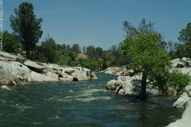
Paradise Cove is a city person's campground.
It's nice... and there are some good photos.
Walker Pass elevation is 5245'
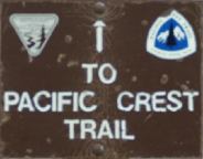
Pacific Crest National Scenic Trail
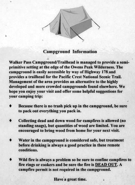
CAMPGROUND INFORMATION
Confine campfires to firerings or cookers
A campfire permit not required in campground.
|