|
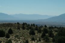
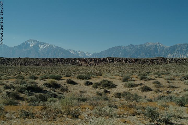
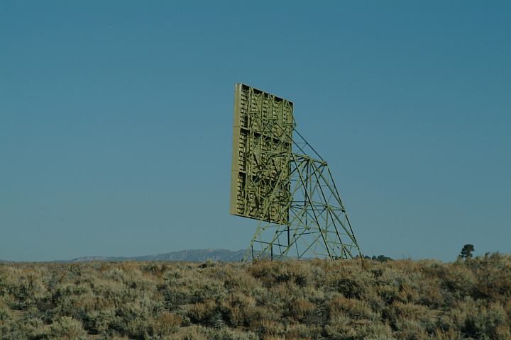
Owens Valley Viewpoint on Hwy.395
(Looking south towards Bishop)

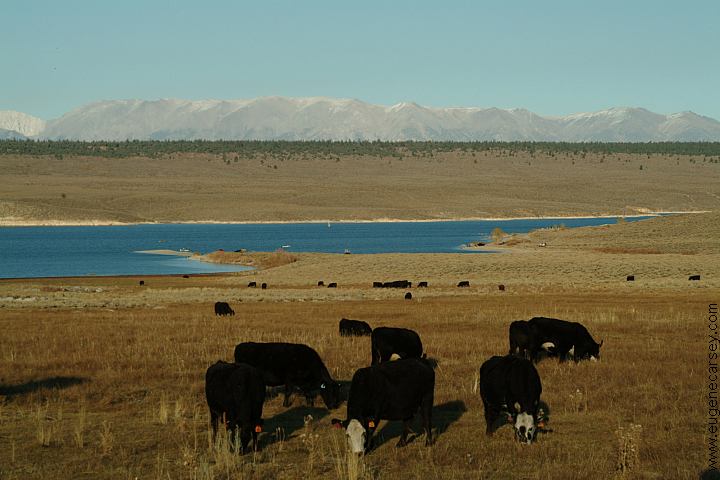
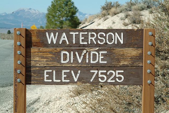
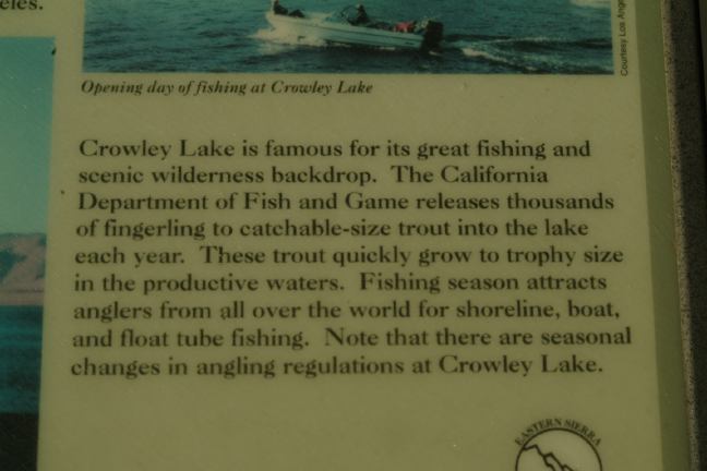
Crowley Lake Information Sign...
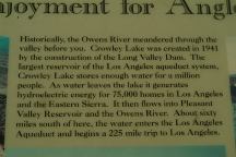
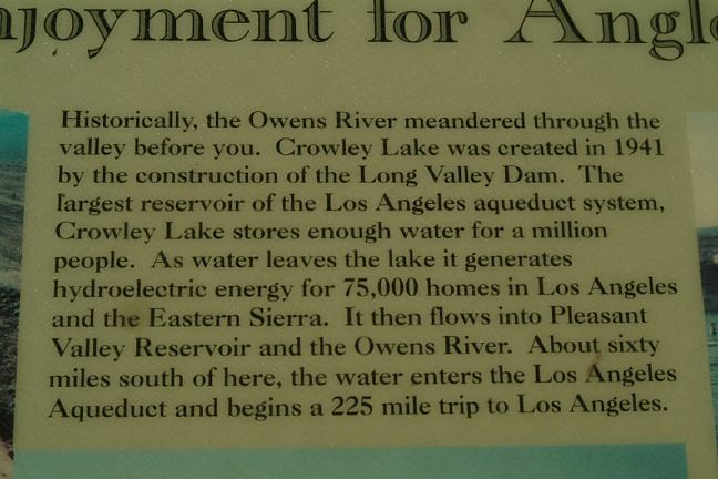
Crowley Lake Information Sign...

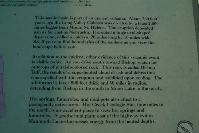
Crowley Lake Information Sign...
DIRECTIONS:
From Bishop take Hwy.395 north
MILEAGE CHART
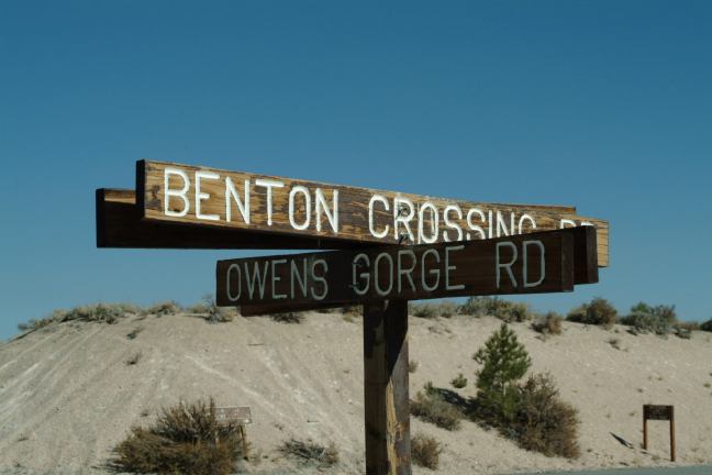
From Hwy.395 and Owens Gorge Road
Bishop 24 miles
Lee Vining 41 miles
Drinking water at Pleasant Valley Campground
(Hand pump near entrance)
There are several showers...
Laundry towards Crowley Lake Rec. Area
Laundry in Bishop...
Showers at Twin Lakes Resort and RV Park
$2.00 for 5 minutes
Showers located in Big Pine.
Buy token at the Mobil Gas Station.
Cost $3.50 for 10 minutes.
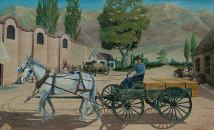
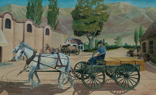
Mural located in Bishop, CA
Wireless Internet connections at several
locations in Bishop or Mommoth.
Best Grocery Store in Bishop, CA
is Manor Market on Hwy.168 west
of town. (At the Shell Gas Station)
Much cheaper and fresher produce
than the major food chains...
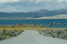
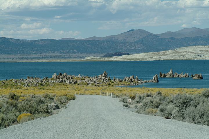
Mono Lake South Tufa
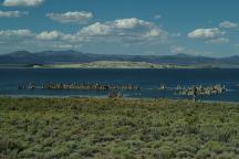
Mono Lake South Tufa
Mono Lake is north on Highway 395
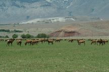
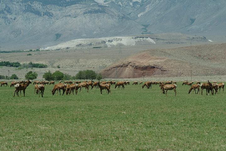
Elk at Wildlife Viewing Area on Hwy.395
Between Big Pine and Independence, CA
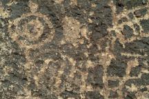
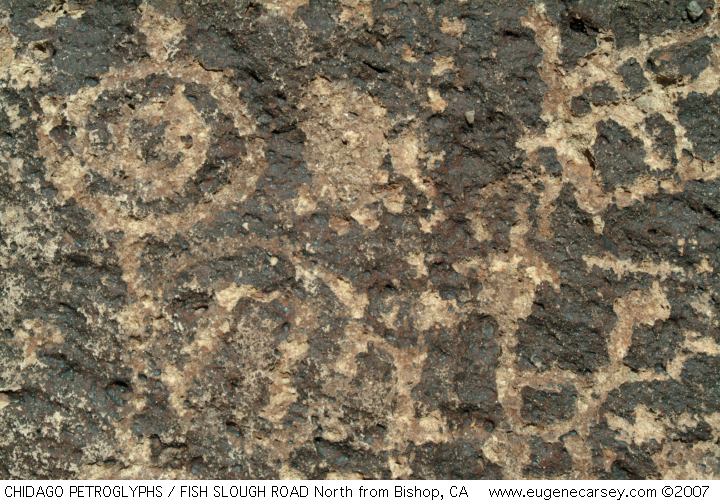
Chidago Canyon Petroglyphs
CHIDAGO
CANYON PETROGLYPHS
About 20 miles north from Bishop, CA
Including Chidago Petroglyphs, Red Rock
Petroglyphs, Fish Slough Petroglyphs, and
Chalfant Petroglyphs.
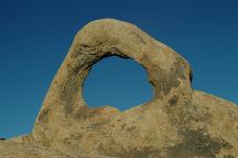
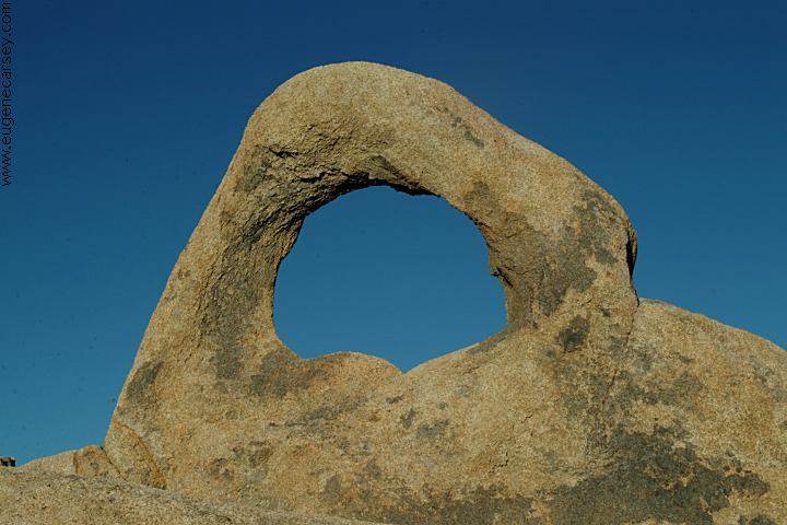
Arch Off Whitney Portal Road
Alabama Hills Recreation Area
ARCHES
OF
ALABAMA HILLS
There are hundreds of natural arches and
windows throughout the Alabama Hills.
Also see: ALABAMA HILLS
Also see: BAKER CREEK
Also see: BLACK
ROCK RESERVOIR
Also see: BRECKENRIDGE
Also see: BRISTLECONE PINE FOREST
Also see: BUTTERMILK
COUNTRY
Also see: CHIMNEY
PEAK
Also see: COTTONWOOD
CANYON
Also see: CROWLEY LAKE
Also see: DEATH VALLEY / SALINE
Also see: DEATH
VALLEY / WILDROSE
Also see: GOVERNMENT WASH
Also see: KIRCH
FLAT CAMPGROUND
Also see: LAKE
ISABELLA
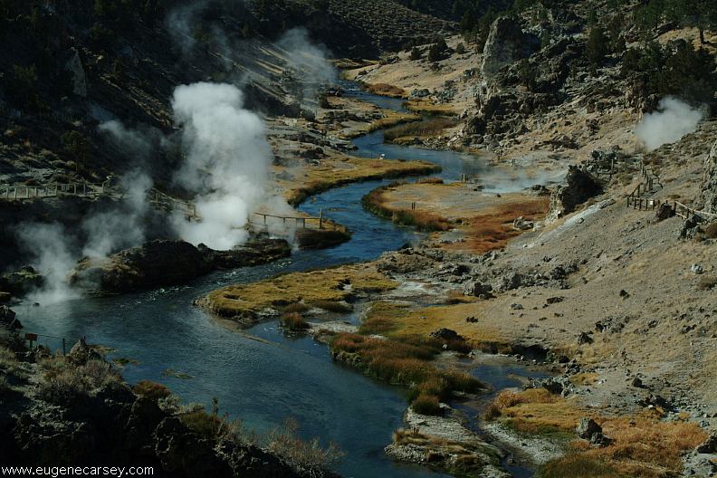
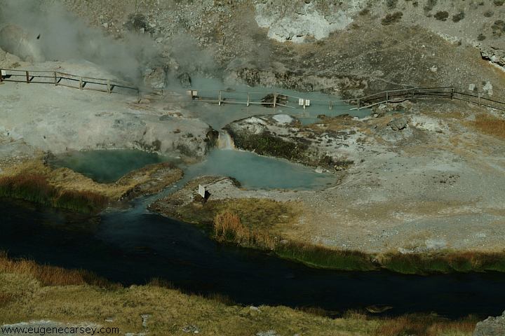
Also see: MONO HOT
SPRINGS
Also see: PINE
CREEK CAMPGROUND
Also see: PV PIT
CAMPGROUND
Also see: SEQUOIA
NF / HWY 190
Also see: SHERMAN
PASS ROAD
Also see: TRONA
PINNACLES
Also see: WAGON WHEEL
Also see: WALKER
PASS
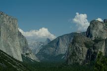
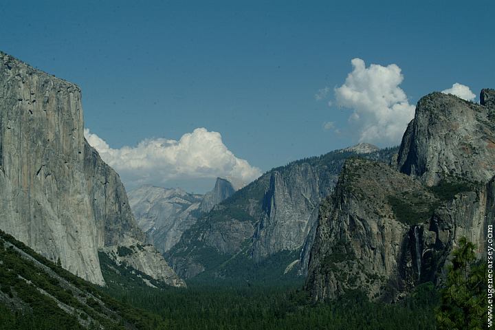
Yosemite National Park
Ellery Lake / Hwy.120 - Elevation 9538'
CAMPGROUND INDEX
Complete free campground listing
CAMPING ADVICE AND TIPS
TOURIST
PHOTOS
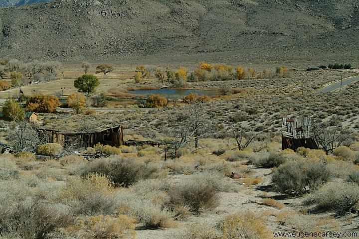
Camped here October 28, 2006

www.eugenecarsey.com
Free campgrounds and camping
CALIFORNIA CAMPGROUND DIRECTORY
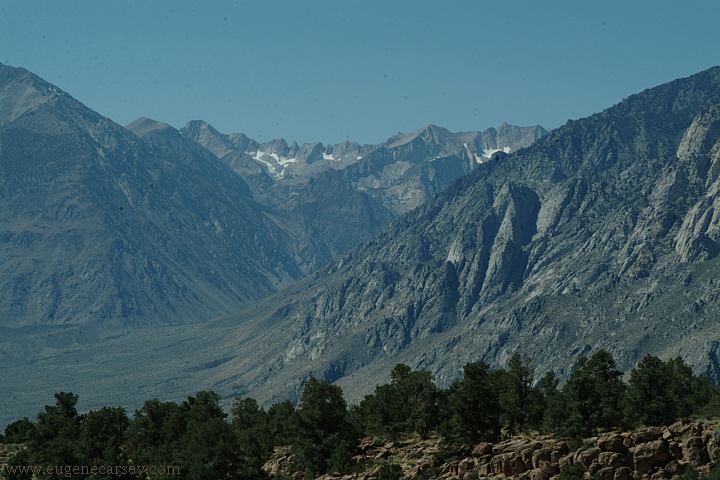
INYO NATIONAL FOREST
SIERRA NEVADA MOUNTAINS
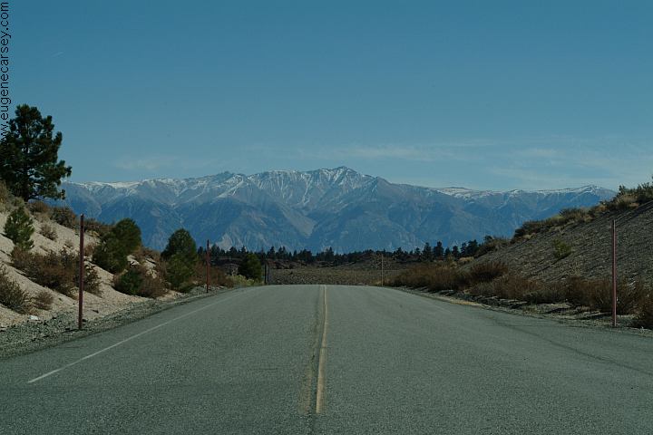
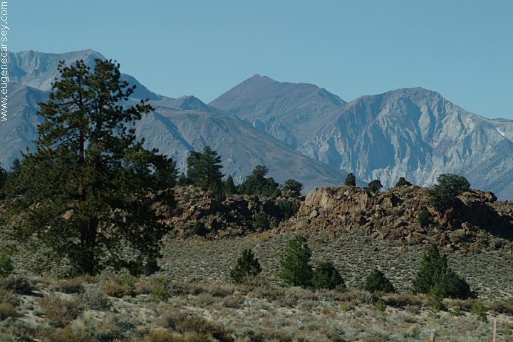
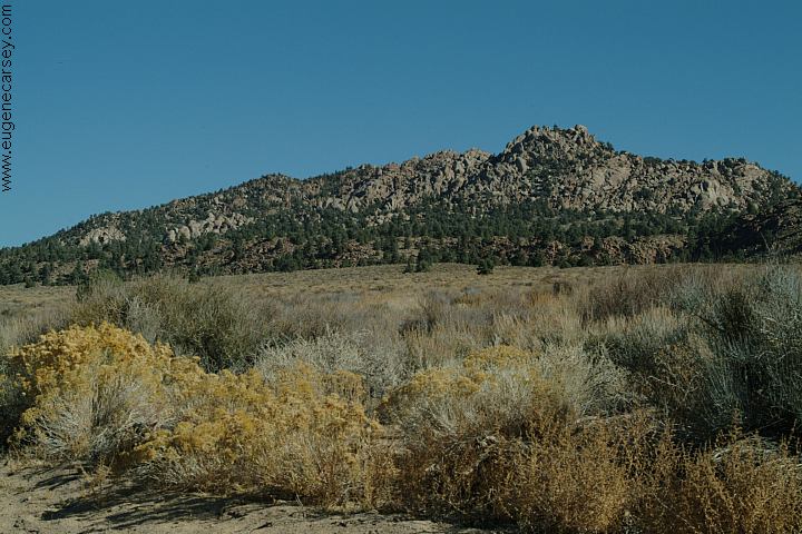
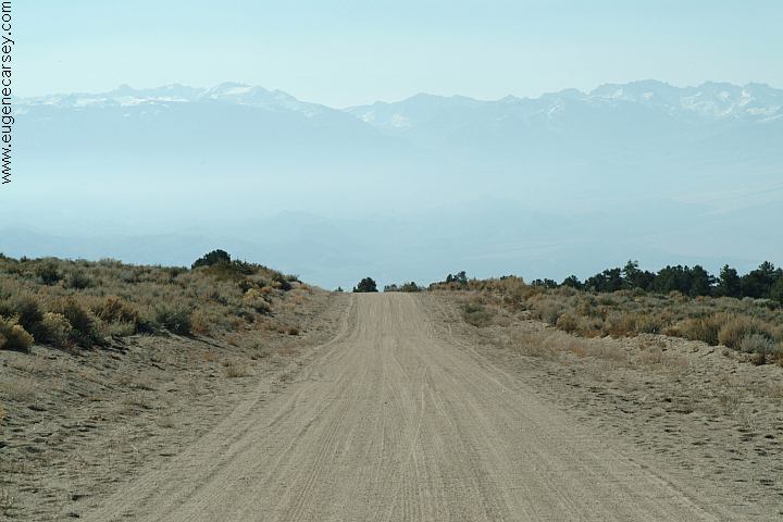
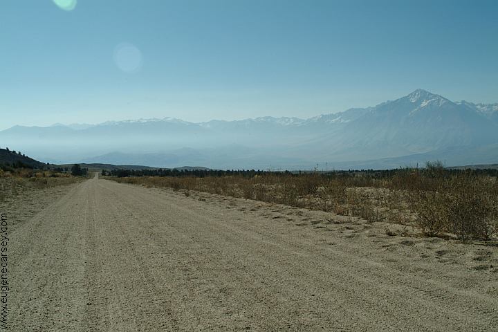
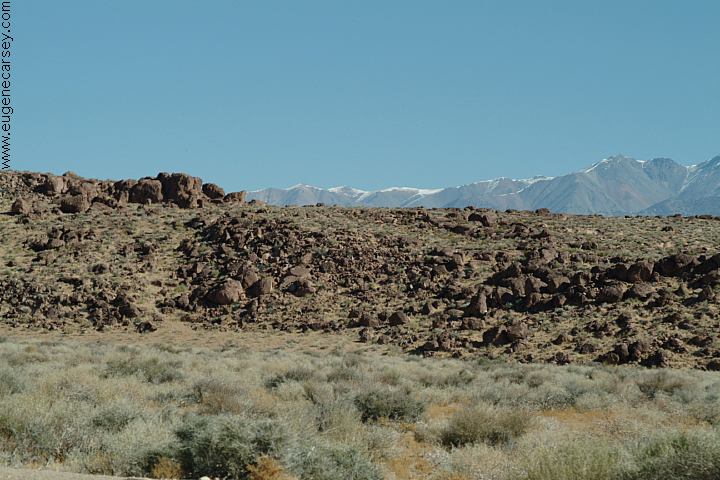
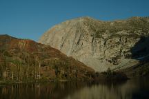
CROWLEY LAKE
|