|
BIG SPRINGS CAMPGROUND
Kind of crowded and not real special, but there
are several other established campgrounds in the
area and dispersed camping is allowed.
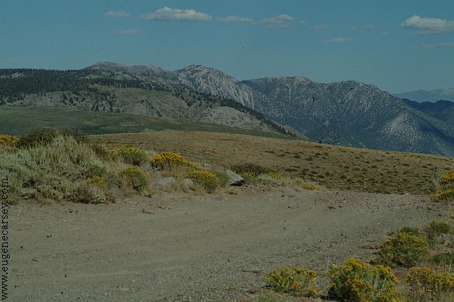
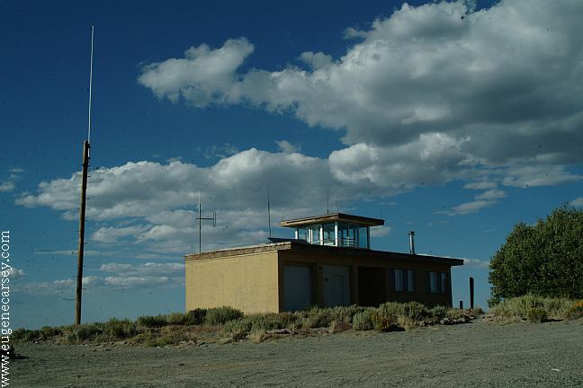
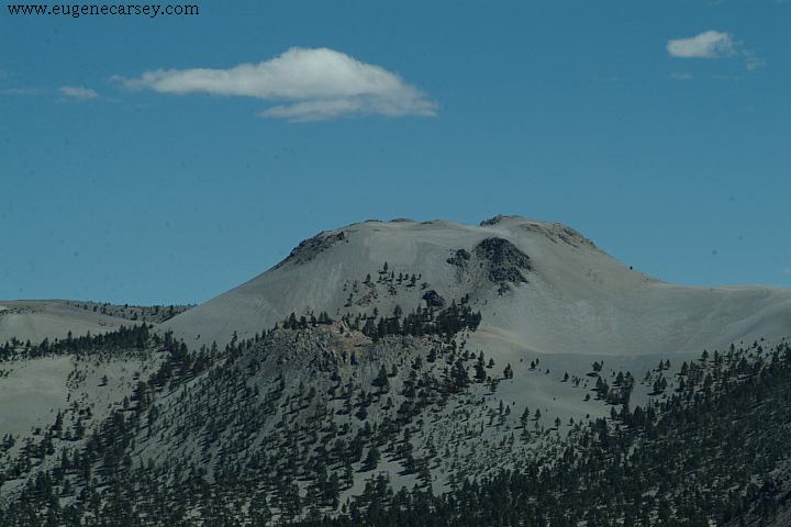
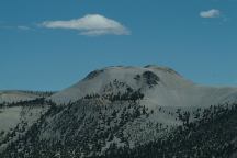
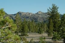
Bald Mountain Lookout
Bald Mountain Lookout
Bald Mountain Lookout
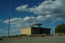
Bald Mountain Lookout
Bald Mountain Spring Campground
BALD MOUNTAIN SPRING CAMPGROUND
Labor Day Weekend and not another person around.
From Big Springs Campground take Road#2S04
towards Bald Mountain Lookout. Bald Mountain
Spring is on Road#2S52.(Signs mark the direction)
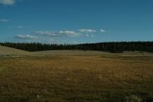
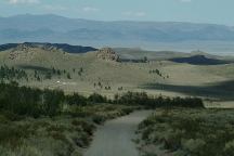
Crooked Meadow

Crooked Meadow
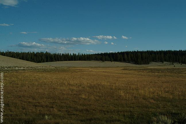
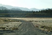
CROOKED MEADOWS CAMPGROUND
Free campground... no information.
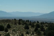
Road near Sagehen Meadow Campground

Sagehen Meadow Campground
SAGEHEN MEADOW CAMPGROUND
Free campground... limited people.
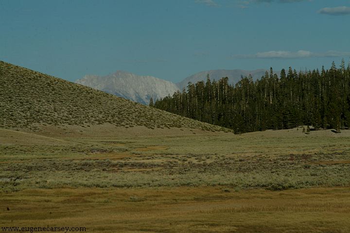
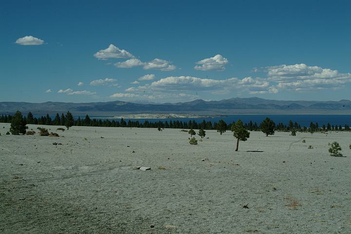
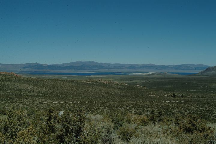
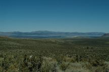
Nearby views of Mono Lake and the
Sierra Nevada Mountains.
The campground is on Road#1N02
and is kind of small and like a parking
area. Rock firerings and outhouse.
From Highway 120 and Road#1N02
(Sagehen Summit elevation is 8139')
Sagehen Meadows 2 1/4 mile
Crooked meadows 6 miles
Johnny Meadows 9 miles
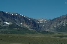
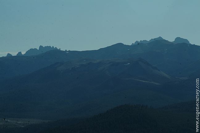
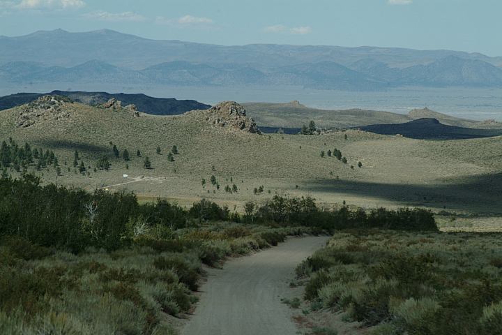
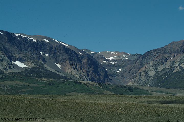
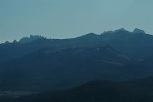
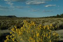
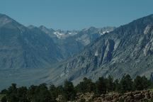
West Portal Mountain Views
West Portal Mountain Views
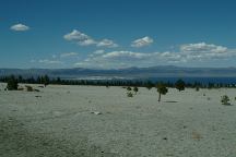
Mono Lake from Highway 120

Highway 120
SAWMILL MEADOW CAMPGROUND
Free campground... no information.
TAYLOR MEADOW CAMPGROUND
Free campground... no information.
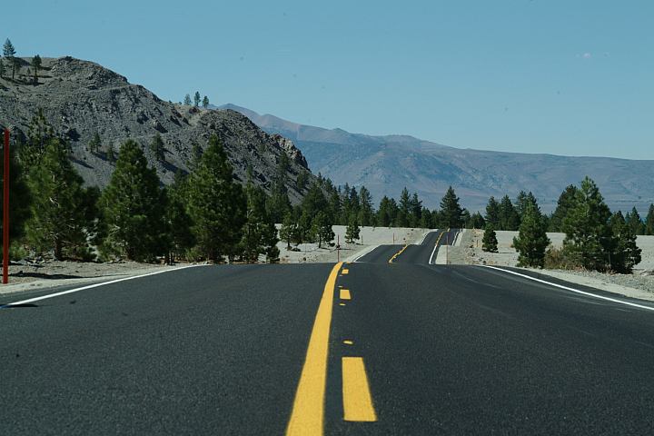
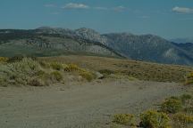
Road#1S17 near Jct. of Hwy.120
Road#1S17 near Jct. of Hwy.120
MORE CAMPGROUNDS:
Near Deadman Campground
DEADMAN CAMPGROUND
Upper and Lower Deadman Campgrounds
Hwy.395 about a mile north, then a couple
miles west...
GLASS CREEK CAMPGROUND
Free campground about a 1 1/2 mile north
on Hwy.395
HARTLEY SPRINGS
CAMPGROUND
Free campground a couple miles north.
Turn west on Obsidian Dome Road.
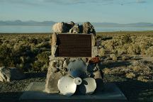
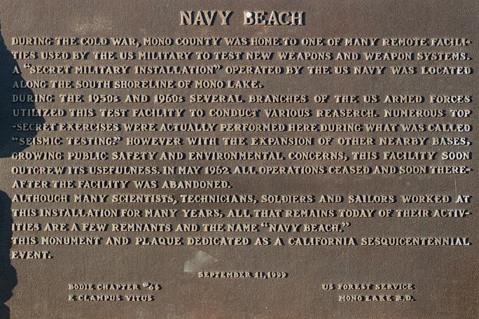
Mono Lake Navy Beach Plaque
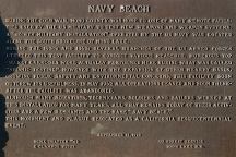
Mono Lake Navy Beach Plaque
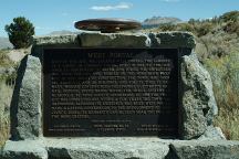
West Portal
West Portal looking towards Mono Lake
ESTABLISHED CAMPGROUNDS:
INYO NATIONAL FOREST
These are campgrounds that charge a fee
See: Inyo National
Forest Information
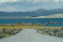
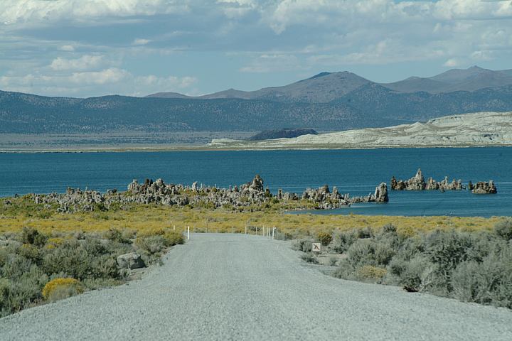
Mono Lake South Tufa
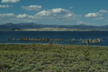
Mono Lake South Tufa
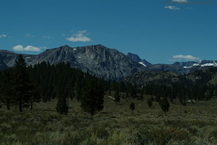
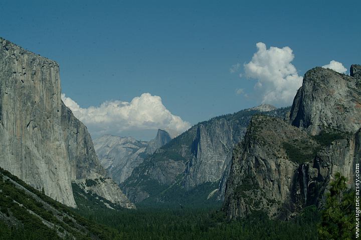
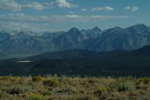
Sierra Nevada Mountains
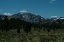
Sierra Nevada Mountains
Owens Valley Viewpoint on Hwy.395
(Looking south towards Bishop)
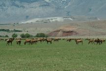
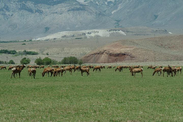
Elk at Wildlife Viewing Area on Hwy.395
Between Big Pine and Independence, CA
|