http://www.dispersedcampgrounds.comhttp://www.eugenecarsey.com

Free campgrounds and camping
CALIFORNIA CAMPGROUND DIRECTORY
PINE CREEK ROAD
INYO NATIONAL FOREST
SIERRA NEVADA MOUNTAINS
LATITUDE: N 37°21.694
LONGITUDE: W 118°41.457
(GPS from near the Horse Stables and Trailhead)
Dispersed and Primitive Camping

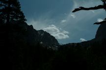
Pine Creek
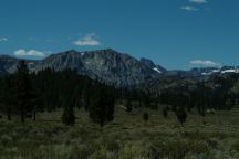
Mountain views from Pine Creek
(Near Pine Creek Horse Stables)

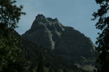
Pine Creek
Mountain views from Pine Creek
(Near Pine Creek Horse Stables)

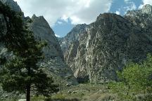
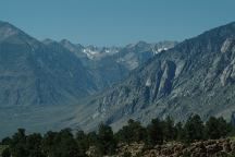
Towering Canyons viewed from Pine Creek Road

Towering mountain canyons are compliments
of the Sierra Nevada Mountains.

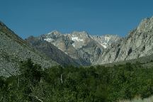
Mountain views from Pine Creek Road

There are dispersed and primitive camping
areas along Pine Creek Road and Pine Creek.

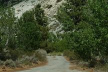
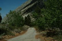
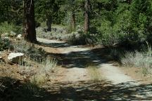
Road with dispersed campsites

Road with dispersed campsites

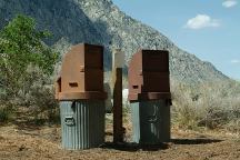
Garbage can at primitive camp
Garbage cans at primitive camp
N 37°22.862
W 118°40.297

There are some established primitive campsites
along Pine Creek. xx miles past Rovana you will
see a narrow, broken down paved road on the left.
There are several campsites and garbage cans.

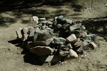
Primitive campsite near Horse Stables
Primitive campsite near the Horse Stables

Primitive campsite near Horse Stables
Road to primitive campsite near the Horse Stables

Another campsite is across from Pine Creek
Horse Stables. Take the dirt road before the
bridge. Campsite about 100 yards down
this road.

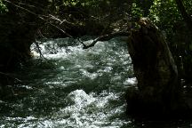
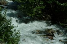
Pine Creek
Pine Creek viewed from campsite

Pine Creek near the Horse Stables

ESTABLISHED CAMPGROUNDS:
INYO NATIONAL FOREST
These are campgrounds that charge a fee
See:
Inyo National Forest Information

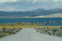
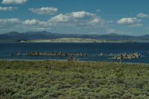
Mono Lake South Tufa

Mono Lake South Tufa

Sierra Nevada Mountains

Sierra Nevada Mountains

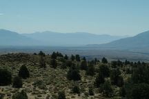
Owens Valley
Owens Valley Viewpoint on Hwy.395
(Looking south towards Bishop)

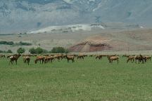
Elk on Highway 395
Elk at Wildlife Viewing Area on Hwy.395
Between Big Pine and Independence, CA

BEAR FACTS
Sierra Nevada Mountains is bear country
and proper precautions must be taken.
Check with a Forest Ranger for details.

RATTLESNAKE FACTS
Rattlesnakes are common sights.

IT IS YOUR RESPONSIBILITY TO KNOW
WHAT FIRE RESTRICTIONS ARE IN EFFECT
You need a CALIFORNIA FIRE PERMIT.
Fire permits available for free at the Ranger Station
Shovel and water required when dispersed camping.

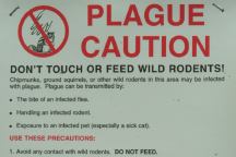
Plague Caution
Plague Caution...

Plague is fairly common, should always
take caution around wild rodents.

DIRECTIONS:
From Bishop take Hwy.395 north
Turn west on Pine Creek Road

ROAD CONDITIONS:
Pine Creek Road is a paved surface.
Pine Creek Road was closed 6 miles past Rovana.

Drinking water at Pleasant Valley Campground
(Hand pump near entrance)

Showers at Reds Meadow Campground.
Showers located in Big Pine.
Buy token at the Mobil Gas Station.
Cost $3.50 for 10 minutes.
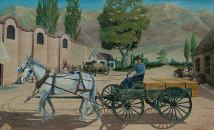
Mural in Bishop
Mural located in Bishop, CA

Wireless Internet connections at several
locations in Bishop or Mommoth.

Best Grocery Store in Bishop, CA
is Manor Market on Hwy.168 west
of town. (At the Shell Gas Station)
Much cheaper and fresher produce
than the major food chains...

Also see: ALABAMA HILLS
Also see: BAKER CREEK
Also see:
BLACK ROCK RESERVOIR
Also see:
BRECKENRIDGE
Also see:
BRISTLECONE PINE FOREST
Also see:
BUTTERMILK COUNTRY
Also see:
CHIMNEY PEAK
Also see:
COTTONWOOD CANYON
Also see:
CROWLEY LAKE
Also see:
DEATH VALLEY / SALINE
Also see:
DEATH VALLEY / WILDROSE
Also see:
GOVERNMENT WASH
Also see:
KIRCH FLAT CAMPGROUND
Also see:
LAKE ISABELLA
Also see:
MONO HOT SPRINGS
Also see:
PV PIT CAMPGROUND
Also see:
SEQUOIA NF / HWY 190
Also see:
SHERMAN PASS ROAD
Also see:
TRONA PINNACLES
Also see:
WAGON WHEEL
Also see:
WALKER PASS

This is a scenic area with crazy landscapes.
From the Mono Lake Basin... Yosemite
National Park, Death Valley National Park,
Ancient Bristlecone Pine Forest, ect... from
Mount Whitney at 14,495' (The highest
mountain in the lower 48 states), to Badwater
Basin, the lowest point at 282' below sea level.
There are extremes everywhere.
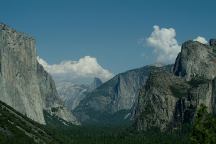
Yosemite National Park
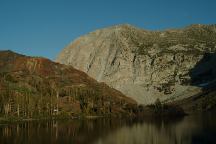

Ellery Lake
Ellery Lake / Hwy.120 - Elevation 9538'
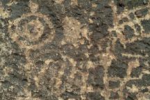
Chidago Canyon Petroglyphs

CHIDAGO CANYON PETROGLYPHS
About 20 miles north from Bishop, CA
Including Chidago Petroglyphs, Red Rock
Petroglyphs, Fish Slough Petroglyphs, and
Chalfant Petroglyphs.
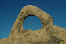
Arch Off Whitney Portal Road
Alabama Hills Recreation Area

ARCHES OF ALABAMA HILLS
There are hundreds of natural arches and
windows throughout the Alabama Hills.
Located west from Lone Pine, CA
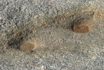
Indian Mortars and Dynamite Holes
LATITUDE: N 36°36.177
LONGITUDE: W 118°04.470
Grinding Rock with Dynamite Holes
Near the Information Kiosk on Whitney Portal Road.

INDIAN GRINDING STONES AND MORTARS
You can find several Indian Mortars in the Alabama
Hills and surrounding area.

Camped here May 28, 2007
Camped here April 28, 2008

CAMPGROUND INDEX
Complete free campground listing

CAMPING ADVICE AND TIPS

TOURIST PHOTOS

Copyright Notice
www.eugenecarsey.com

dispersedcampgrounds.com
Free campgrounds and camping
CALIFORNIA CAMPGROUND DIRECTORY
INYO NATIONAL FOREST
SIERRA NEVADA MOUNTAINS
PINE CREEK ROAD.