|
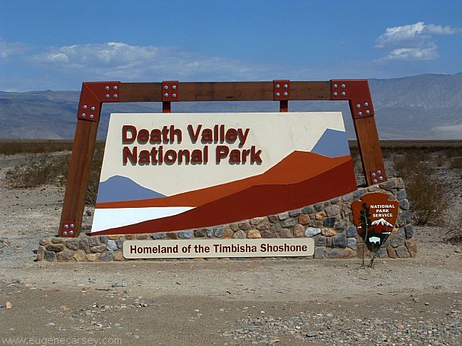
DEATH VALLEY NATIONAL PARK Death Valley entrance fees are $20 per car
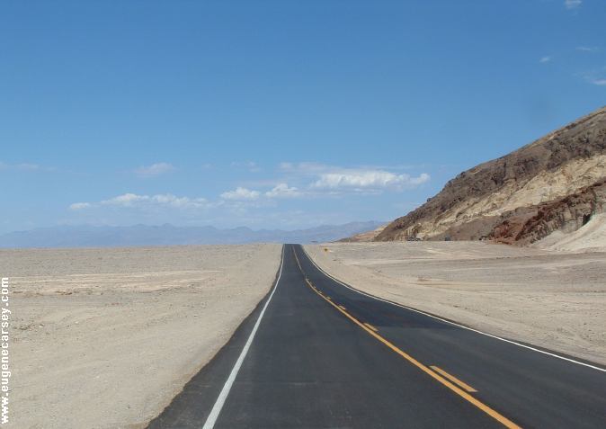
Death Valley has incredible landscapes
|


WILDROSE CHARCOAL KILNS WILDROSE CAMPGROUND SALINE VALLEY WARM
SPRINGS
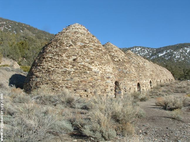
Wildrose Charcoal Kilns
There is still snow on the hillsides.
A favorite destination...
Built in 1876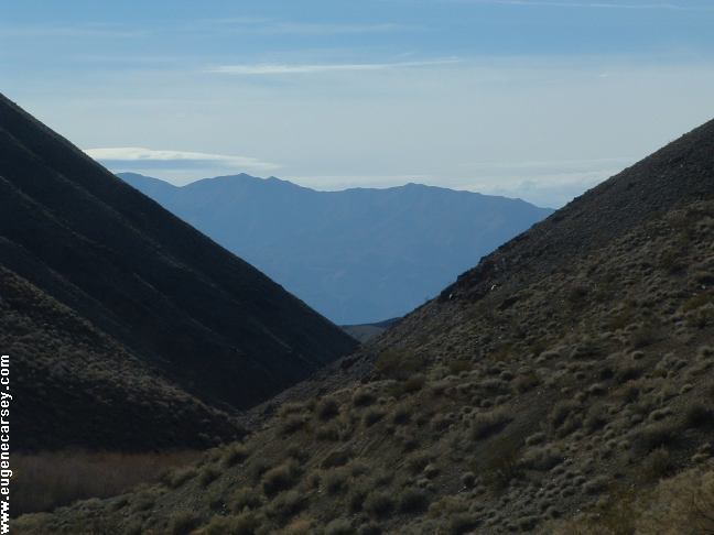
View from Wildrose Campground
LATITUDE: N 36°15.966
LONGITUDE: W 117°11.345
Elevation: 4175'
The campground is like a big parking
lot, but this is Death Valley and it's free.
Picnic tables, metal firerings, BBQ grills,
outhouses, garbage and recycle bins, and
drinking water.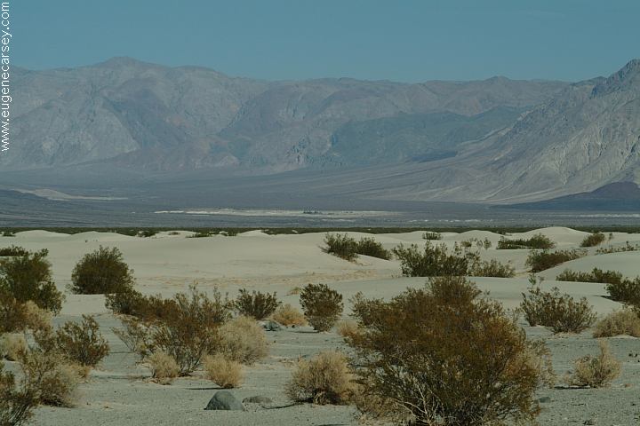
Saline Valley Warm Springs from
Sand Dunes on Saline Valley Road
Saline Valley Warm Springs and
Palm Hot Springs... be prepared
for nude people and such. Camp
areas around both the springs. The
springs are not shown on most maps.
EMIGRANT CAMPGROUND ESTABLISHED CAMPGROUNDS: There are several areas to camp in the I've heard several times what a disaster it RULES OF THE DESERT DESERT CHECK LIST Dogs or bicycles not allowed on ARTIST DRIVE DEVILS GOLF COARSE NATURAL BRIDGE
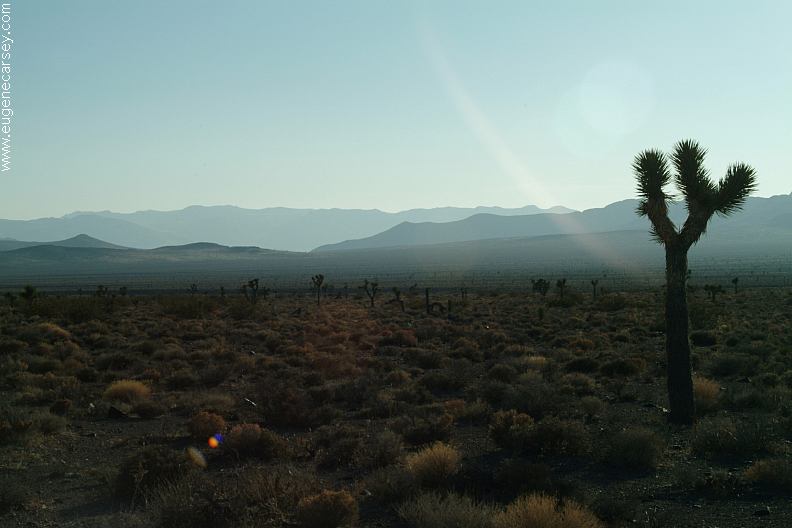
Lee Flat Joshua Trees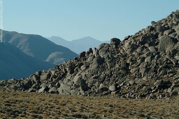
Saline Valley Road
Tent camping only. Picnic tables, flush
toilet, and drinking water.
Death Valley National Park
Campgrounds that charge a fee
FURNACE CREEK CAMPGROUND $18
TEXAS SPRING CAMPGROUND $14
SUNSET CAMPGROUND $12
MESQUITE CAMPGROUND $12
Mesquite Spring
STOVEPIPE WELLS CAMPGROUND $12
(Prices updated 2006)
back country. You need to check if there
are any restrictions.
would be if your car breaks down in Death
Valley, but it can be quite the opposite. One
night there was a young couple that had a flat
tire. Every person that drove by, stopped to
help. About 20 -30 people had gathered around
and it turned into a little party. The kid's tire got
changed, someone set up a tent for them, and
needless to say, some good food. So you can
tell people that "Death Valley is the best place
to break down". (But seriously, if your in the
back country, there might not be anybody
around and temperatures are more extreme
than you would imagine.)
Know the basic rules before venturing
into the desert.
Check list of basic supplies required
for desert survival and safety.
trails or in the wilderness
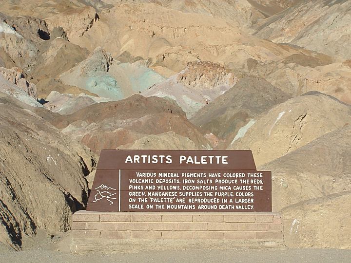
Artist Drive and Artist Palette
Artist Drive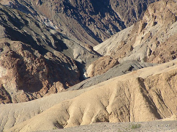
Artist Drive
Artist Drive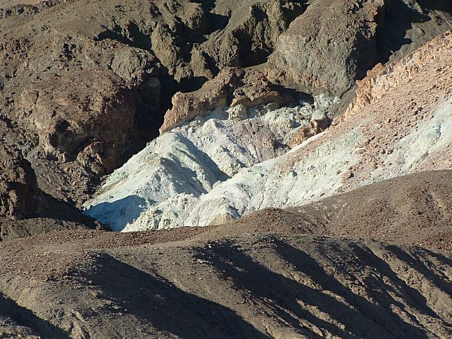
Artist Drive
Artist Drive
9 mile paved road. Best photos in
the late afternoon
Only the devil could play golf here.
BADWATER ZABRISKIE POINT DANTE'S VIEW 20 MULE TEAM ROAD SAND DUNES MOSAIC CANYON SALT CREEK TITUS CANYON FATHER CROWLEY POINT PHOTO HERE SCOTTY'S CASTLE UBEHEBE CRATER PHOTO HERE EUREKA DUNES THE RACETRACK PHOTO HERE BAKER RANCH RHYOLITE GHOST TOWN

Badwater Basin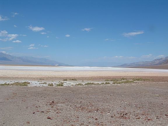
Badwater Basin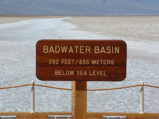
Badwater Basin
Lowest point in the Western Hemisphere
at 282 feet below sea level. Extreme heat
in summer months.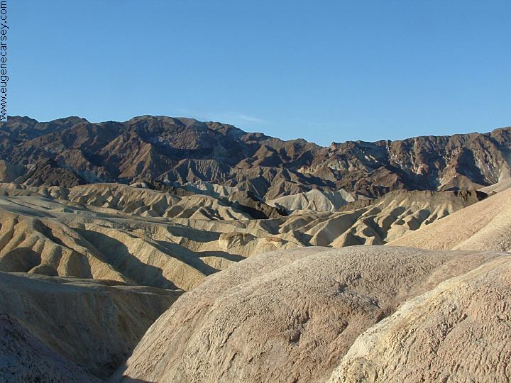
Zabriskie Point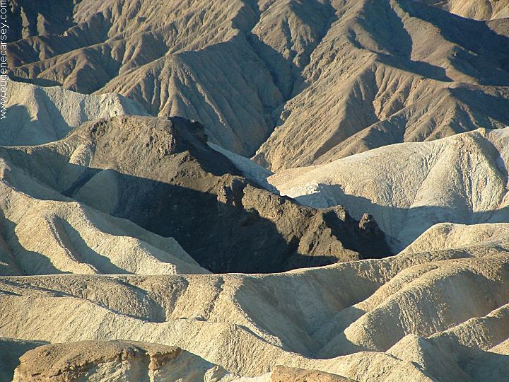
Zabriskie Point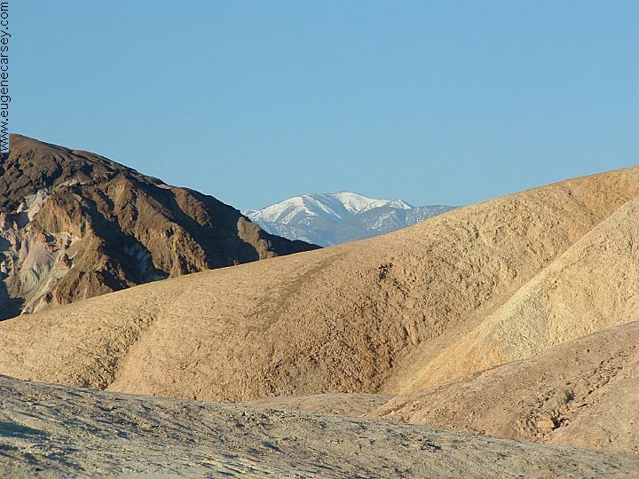
Zabriskie Point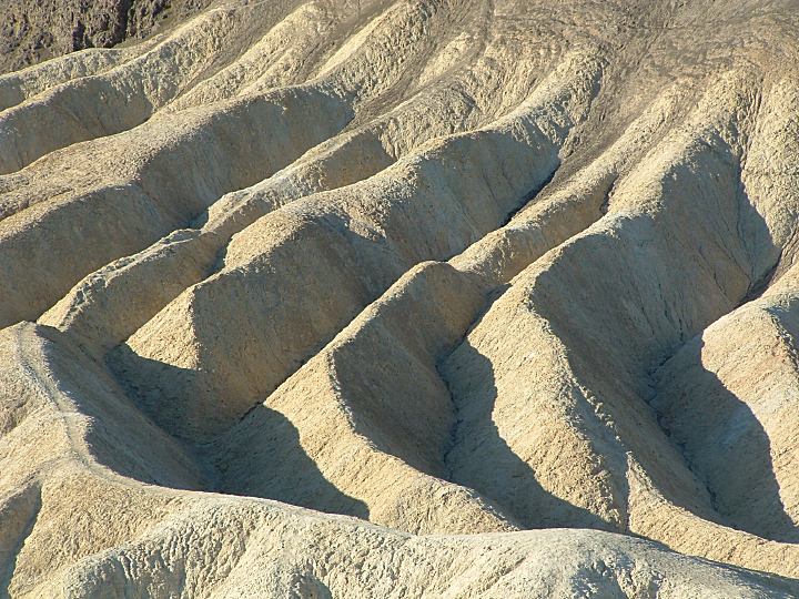
Zabriskie Point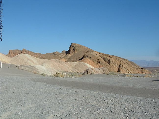
Zabriskie Point
Zabriskie Point
Multi-colored badlands. Good photos
at sunrise
Dante's View
Spectacular view at more than 5000'
above the valley floor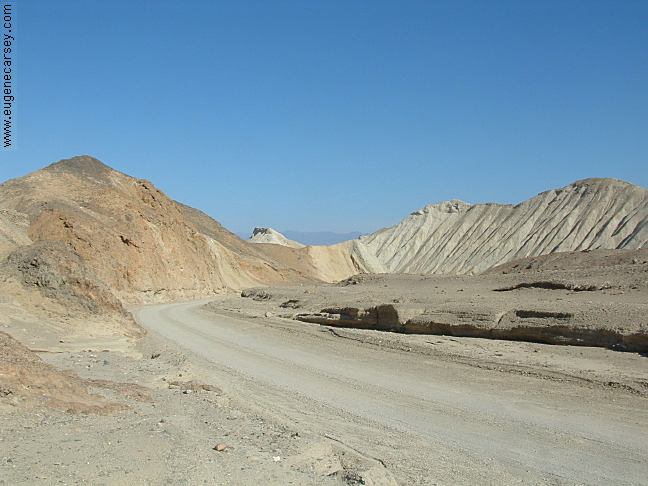
20 Mule Team Road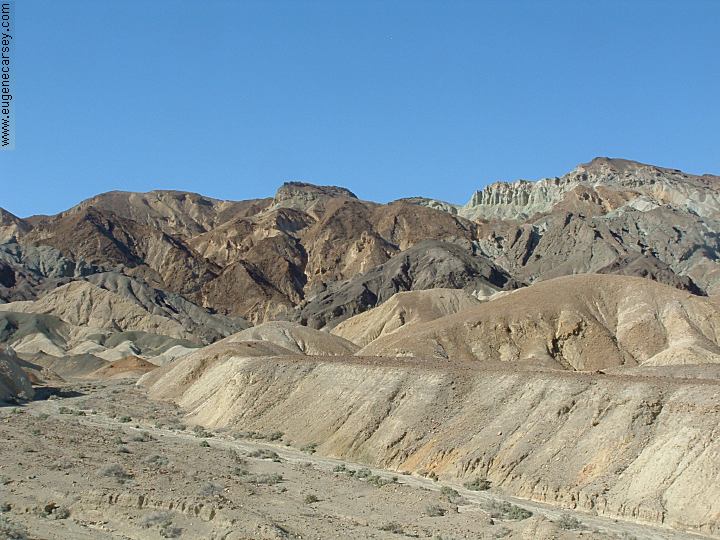
20 Mule Team Road
20 Mule Team Road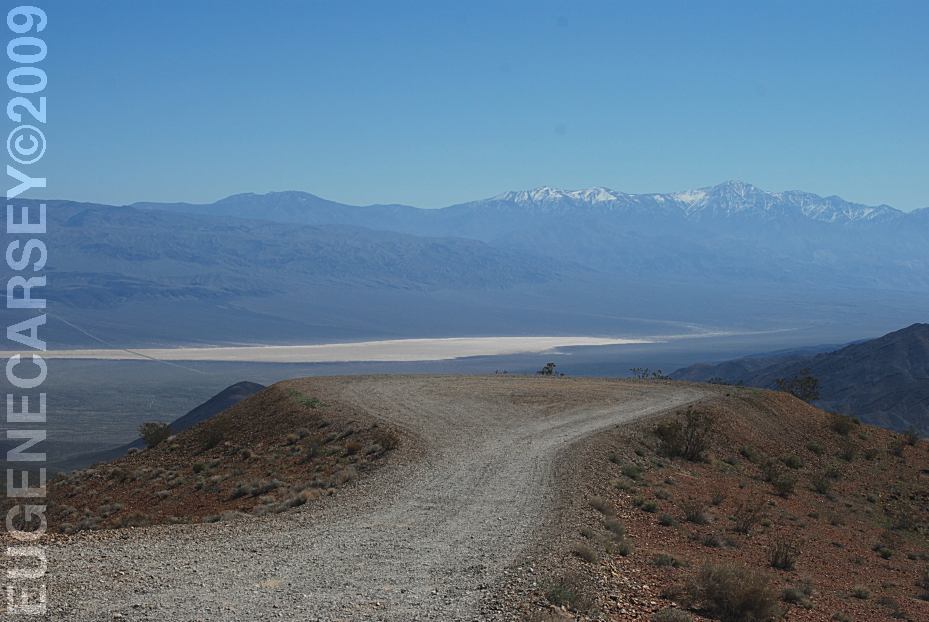
Father Crowley Point
LATITUDE: N 36°21.276
LONGITUDE: W 117°32.487
Highway 190 west of Panamint Springs
Scotty's Castle
Cost $11 per person.
Eureka Sand Dunes
At over 700' Eureka Dunes are the
highest dunes in California.
Rocks mysteriously slide across the
dry lake bed. High clearance vehicle
required. 27 miles of rough road.
We have found similar tracks left by
rocks on Alvord Lake Bed in Oregon.
See: Alvord
Desert / Mann Lake
Baker Ranch
LATITUDE: N 36°51.352
LONGITUDE: W 117°05.145
Charles Manson's last hideout...
Can feel spirits from murder victims
that are still buried out here.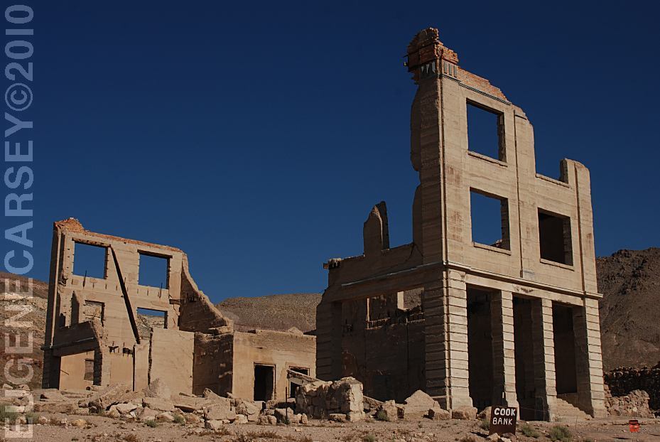
Rhyolite Ghost Town
LATITUDE: N 36°54.000
LONGITUDE: W 116°49.755
Not actually in Death Valley National Park,
but included in most Tourist Guides...
Temperatures Average Max Average Min January 65 39 February 72 46 March 80 53 April 90 62 May 99 71 June 109 80 July 115 88 August 113 85 September 106 75 October 92 62 November 76 48 December 65 39 Military aircraft on training missions... SKIDOO PIPELINE
Lee Flat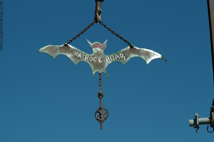
Bat Rock Road towards Saline Warm Springs
Official weather station at Furnace Creek
Record High: 134°F July 1913
Record Low: 15°F January 1913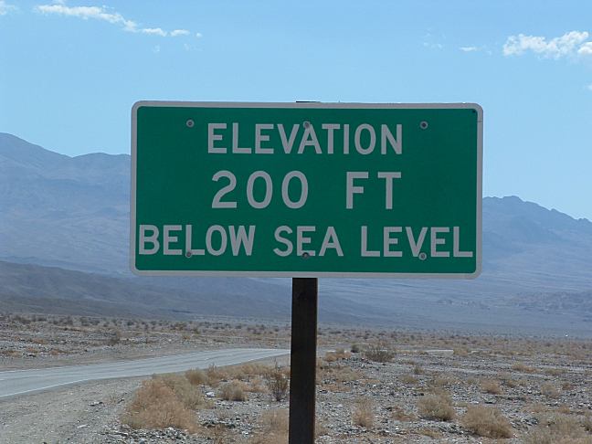
Elevation 200 Feet Below Sea Level
Death Valley
Death Valley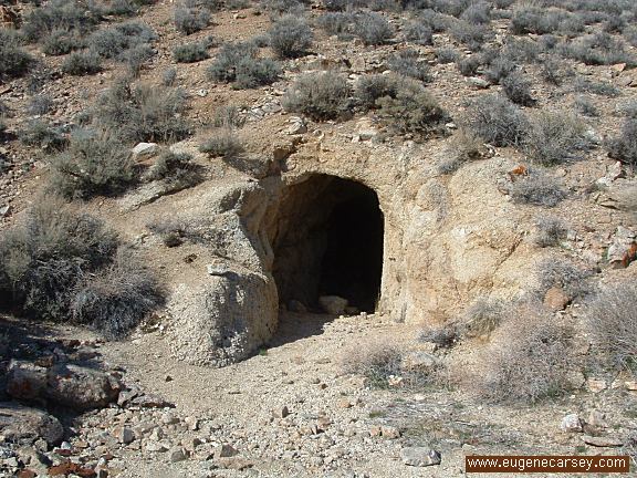
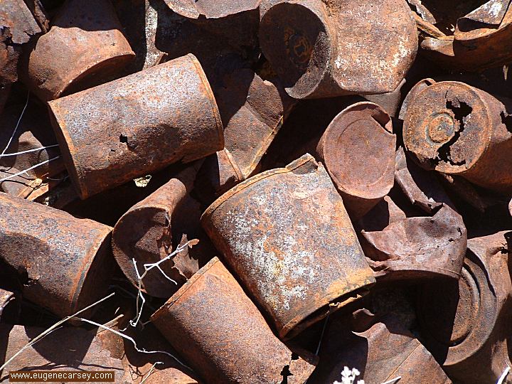
Old Mines in Death Valley National Park
Military aircraft about 200'
Flying low to the ground at high speeds...
The ground rumbles and the deafening
sound waves vibrate the desert... 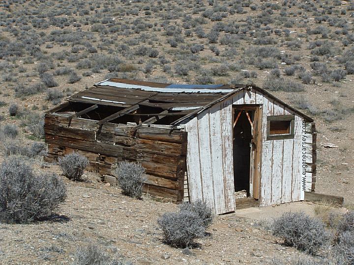
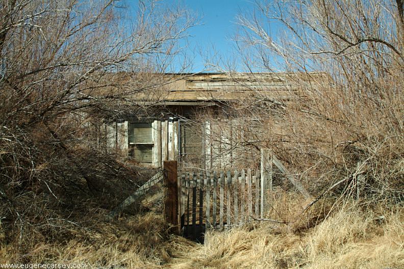
Old Building...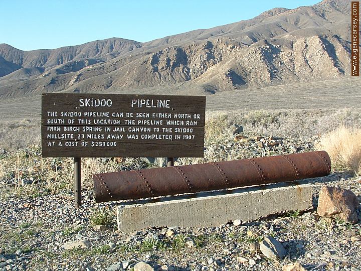
Skidoo Pipeline
LATITUDE: N 36°14.894
LONGITUDE: W 117°07.995
On the road towards Wildrose Charcoal Kilns
|
Showers at Furnace Creek Visitor Center.
KEELER,
CALIFORNIA
TRONA
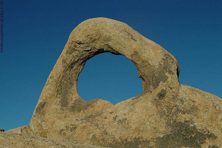
PINNACLES Also see: ALABAMA HILLS
ARCHES OF
ALABAMA HILLS
CAMPGROUND INDEX
dispersedcampgrounds.com |