|
|


|
Free camping and campgrounds
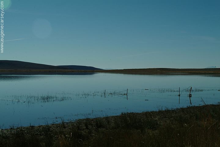
Mann Lake glistens like a jewel on the edge
|


BLM Public Lands... Dispersed Campsites CAMPING COURTESY
1. Build fires only in fireplaces or grills. 2. Be sure your fire is completely out
before 3. Keep your camp clean; leave it clean. Use 4. Toilet facilities are provided for your 5. Do not throw trash in springs, streams,
or 6. Keep horses outside the recreation site
or 7. Do not discharge firearms or fireworks 8. Damaging trees, buildings, or other 9. Camping limited to 14 days. 10. Please observe posted speed limits. MANN LAKE RECREATION SITE DO NOT DRIVE OR CAMP BELOW Salt Desert Scrub.... Mann Lake is home to Lahontan Cutthroat BIRDS: Pronghorn STEENS MAP INFORMATION: There are dispersed camping sites near the There are several dispersed camping areas Protect Desert Vegetation DIRECTIONS: From Fields, OR ROAD CONDITIONS: NOTE: EAST STEENS ROAD MILEAGE CHART PHOTO HERE Showers at Narrows PHOTO HERE Showers at Crystal Crane Hot Springs Showers at Steens Mountain Resort STEENS MOUNTAIN Diamond Craters Loop and National Peter French Round Barn, circa 1880s was built Also see: BLACK ROCK DESERT OREGON FREE CAMPGROUND MAP EAST FORT ROCK OHV TRAIL SYSTEM: Camped here 2004 CAMPGROUND INDEX dispersedcampgrounds.com
Campsite near Information Area
LATITUDE: N 42Ḟ46.681
LONGITUDE: W 118Ḟ26.464
Mann Lake Campsite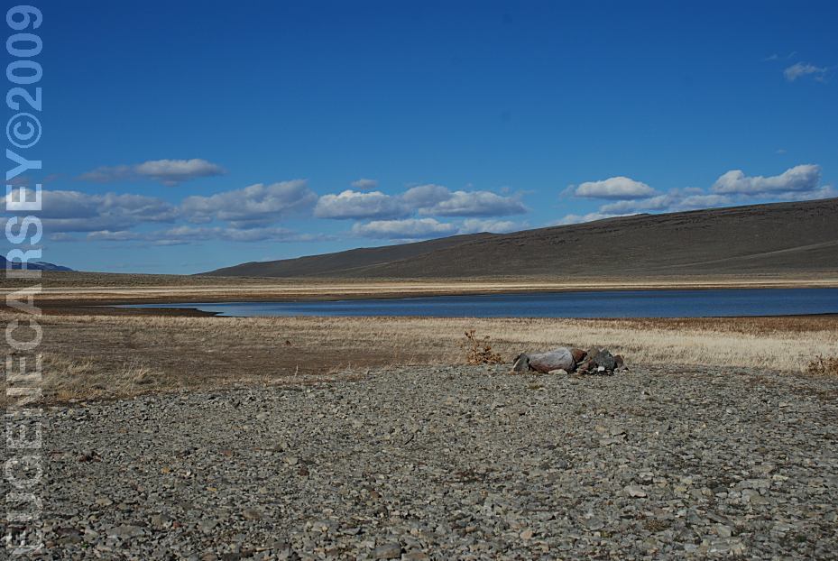
Campsite on west shore of Mann Lake
LATITUDE: N 42Ḟ46.525
LONGITUDE: W 118Ḟ27.034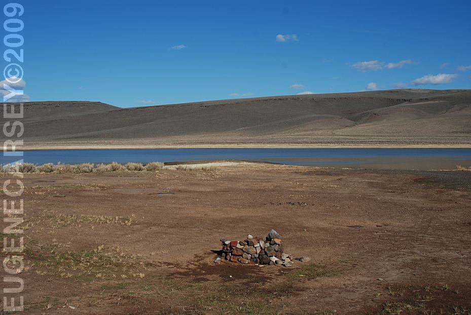
Campsite on west shore of Mann Lake
LATITUDE: N 42Ḟ46.490
LONGITUDE: W 118Ḟ27.070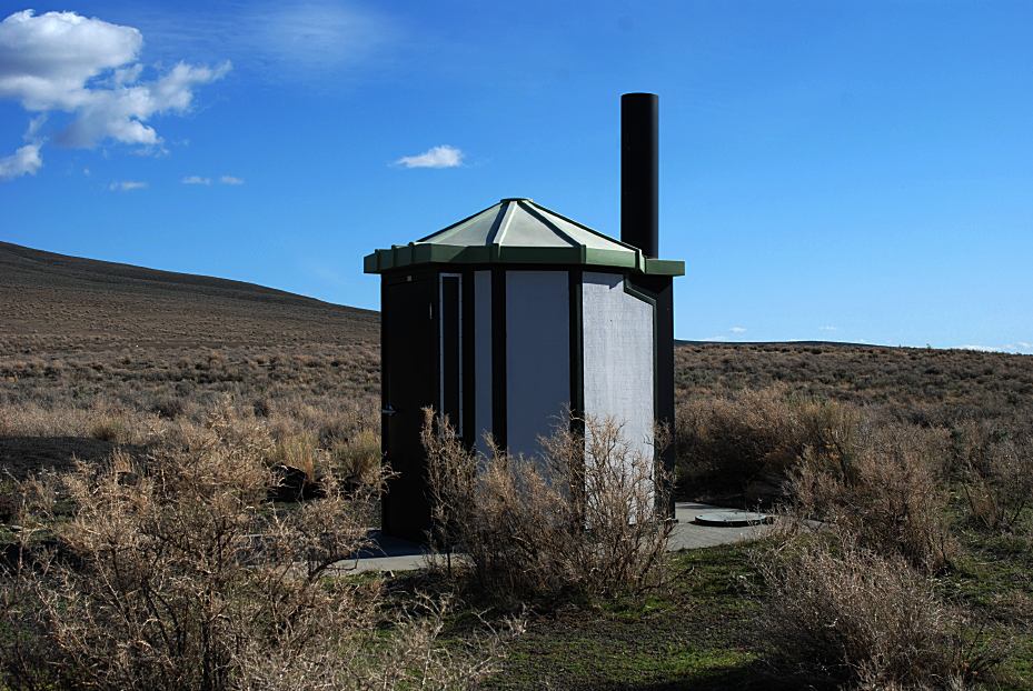
Vaulted Toilet and Information Area
LATITUDE: N 42Ḟ46.653
LONGITUDE: W 118Ḟ26.331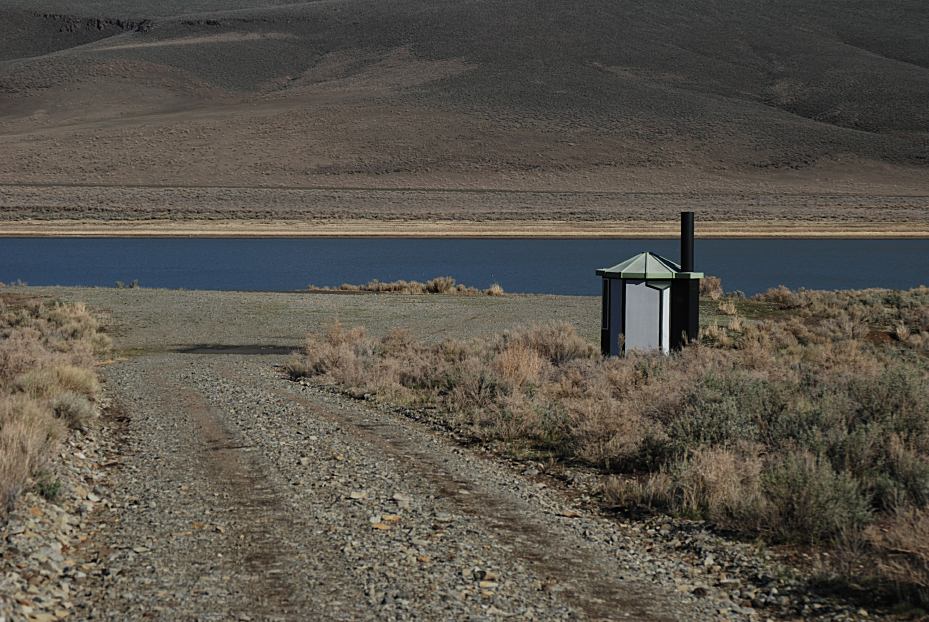
Vaulted Toilet on west shore of Mann Lake
LATITUDE: N 42Ḟ46.501
LONGITUDE: W 118Ḟ27.124
Vaulted Toilets
Primitive Firerings
No Garbage Service
Mann Lake Map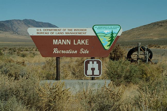
Mann Lake Sign
Viewed from East Steens Road

Camping Courtesy
Please leave it as you would like to find it...
neat, clean, and attractive.
Fires in other places are not allowed.
you leave. Break your matches and
extinguish cigarettes and cigars.
garbage cans and burn all flammable trash
in your campfire.
convenience. Please help to keep them
clean.
lakes or pollute them in any manner.
campground area. Cats and dogs must be
leashed.
within the recreation site or campground
area.
facilities is a violation of law.
Motorized vehicle use restricted to maintained
gravel roads and shoreline access locations
(Boat Launch areas)
two maintained shoreline access points
east, and west sides of Mann Lake
THE HIGH WATER MARK OF THE LAKE.
Need a Permit?
Mann Lake Resource Protection Project
Average Annual Precipitation of less than 9 inches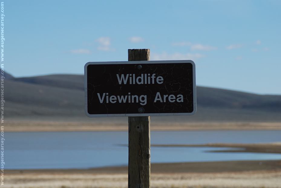
Wildlife Viewing Area at Mann Lake
LATITUDE: N 42Ḟ46.754
LONGITUDE: W 118Ḟ27.056
Trout that thrives in this murky, low oxygen
water. These adaptable fish are stocked in
Mann Lake and Wildhorse Lake. Special
fishing regulations are in effect to manage
their numbers.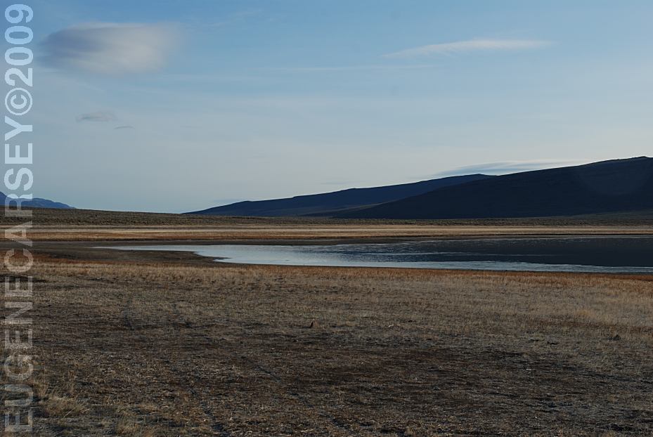
Mann Lake
Western Grebes
Mallard Ducks
Canadian Geese
Pintail Ducks
American Avocet
Dowwitcher
White Pelicans
Tundra Swans
Chukar Partridge
Mule Deer
Jack Rabbits
Coyotes
Western Rattlesnakes

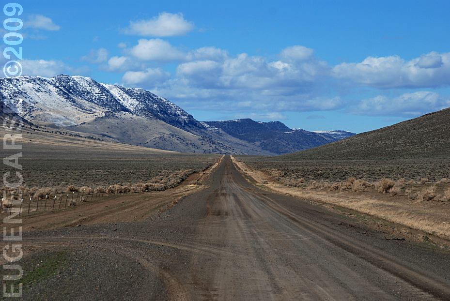
East Steens Road
East Steens Road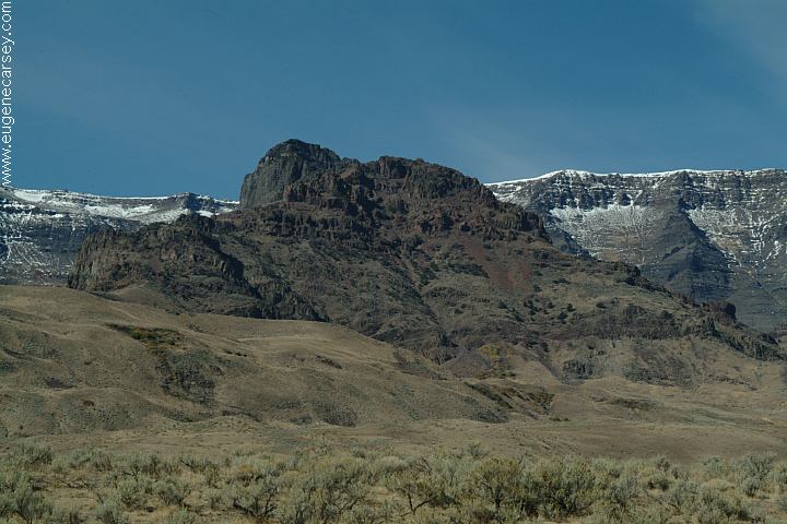
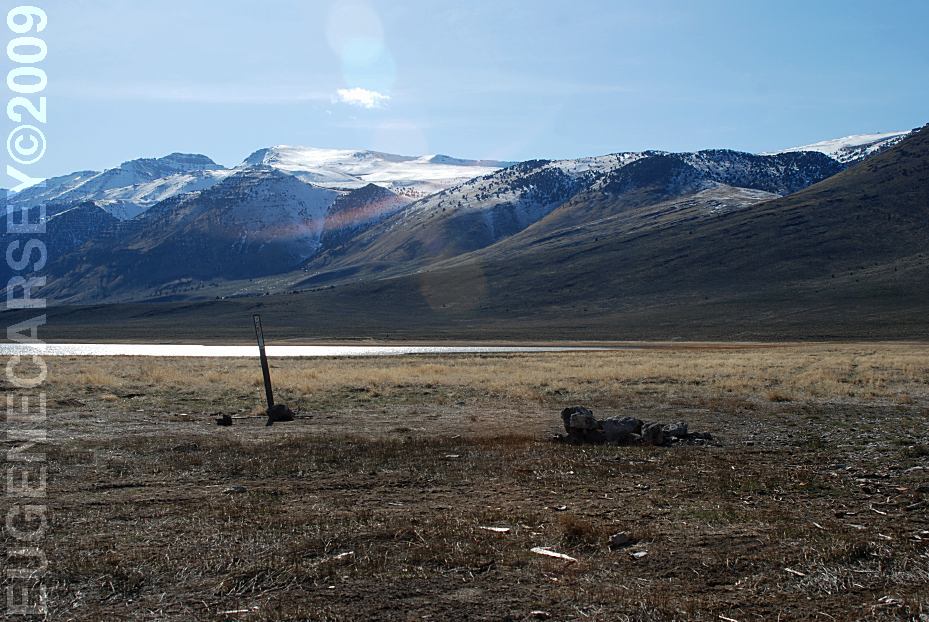
Steens Mountain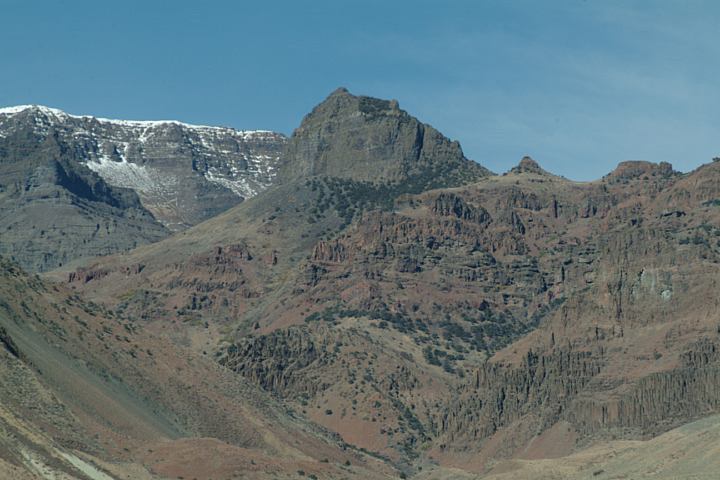
Steens Mountain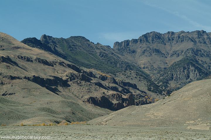
Steens Mountain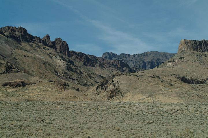
Steens Mountain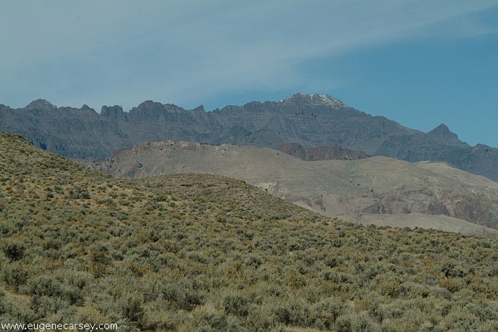
Steens Mountain
Named after Major Enoch Steen who was sent
by the US Army to protect early settlers in the
area from Indian attacks in 1980. His party named
many prominent topographic features, including
Steens Mountains where they were reported to be
pursuing a band of Indians. Most of the military posts
were abandoned in 1869. Designated as the Steens
Mountain Recreation Lands since 1972 and adminis-
tered by BLM, primarily for it's recreational values.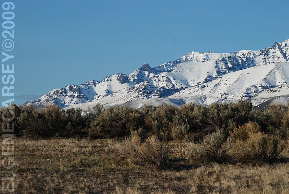
View of Steen Mountains
East Steens Road east from Mann Lake
March 26, 2009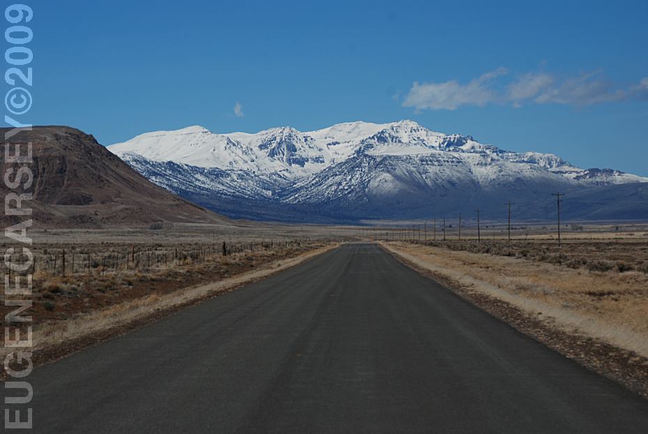
East Steens Road
Looking east towards Mann Lake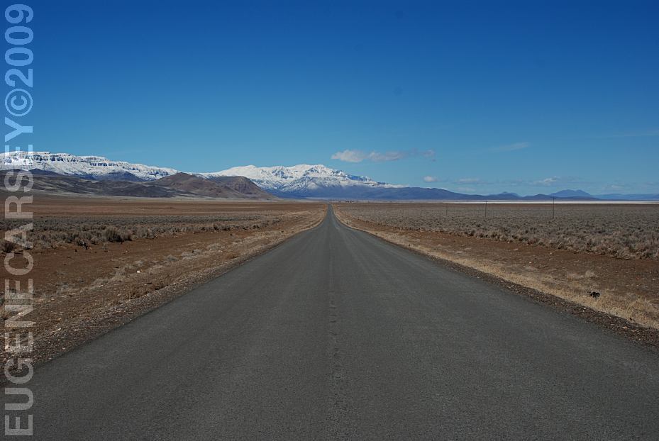
East Steens Road
Looking east towards Mann Lake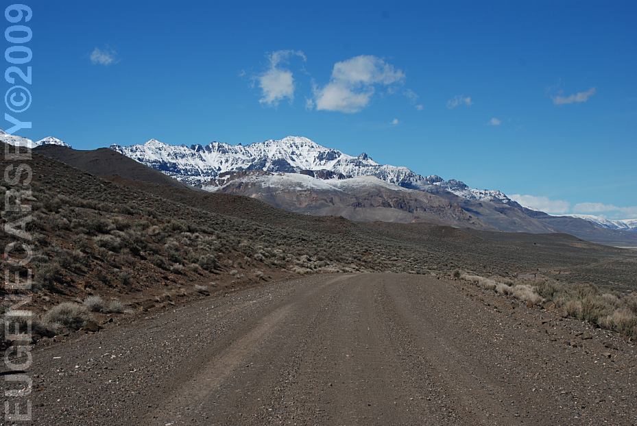
East Steens Road
Looking east towards Mann Lake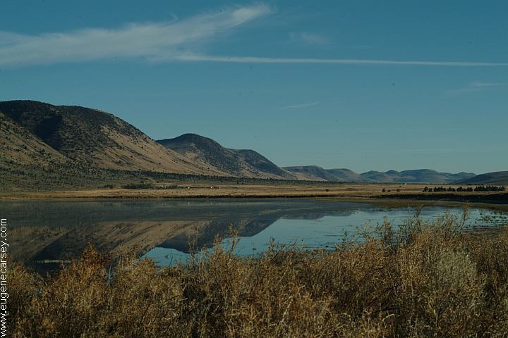
??? Lake north from Mann Lake
Alvord Lake Playa viewed from East Steens Road
19 miles east from Fields, OR
Alvord Desert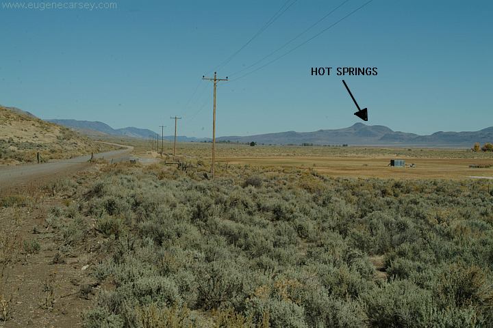
Hot Springs on East Steens Road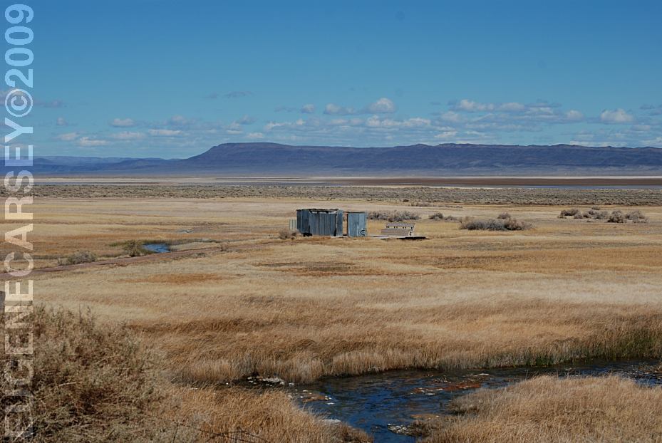
Hot Springs near Alvord Lake
LATITUDE: N 42Ḟ32.603
LONGITUDE: W 118Ḟ32.067
hot springs. We have seen RVs and trailers
camped here.
Alvord Lake south from Mann Lake
Windsurfers on Alvord Lake
in the vicinity. You should have a map and
know your vehicle limitations before heading
out into more primitive areas. (Our map shows
several lakes and reservoirs that look like
prospective camping areas)
Bring Cooking Fuel With You.
Don't Cut Any Trees

Near Little Blitzen looking east over Alvord Desert
From Burns, Oregon
Take Hwy.78 south 65 miles
Turn on East Steens Road
Mann Lake is 24 1/2 miles
Harney County Road 202
2 miles north from Fields, OR
Turn right on East Steens Road
Alvord Hot Springs 21 miles
Mann Lake 38 1/2 miles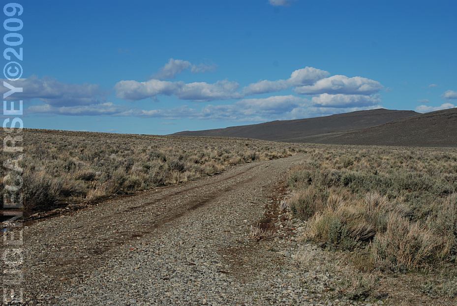
Road around Mann Lake
From the Wildlife Viewing Area
East Steens Road is mostly gravel surfaced.
Limited washboards sometimes maintained
The road around Mann Lake is more primitive...
Limited access in bad weather with mud conditions
We have seen RVs and Camp Trailers, but use your
own discretion.
It is recommended to fill your vehicle with fuel.
It can be a long drive between gas stations and
if you plan any side trips is more critical.
Distances from Junction of Hwy.78
Mann Lake 24 1/2 miles
Alvord Hot Springs 42 miles
Andrews 52 miles
Harney Co. Road#202 63 miles
Fields 65 miles
Denio 88 miles
Crane 38 miles (Hwy.78 North)
Burns 65 miles (Hwy.78 North)
Burns Jct. 27 miles (Hwy.78 South)
McDermitt 82 miles (Hwy.78 South)
Alvord Lake Playa viewed from East Steens Road
19 miles east from Fields, OR
Alvord Desert
Moving Stones on Alvord Lake Bed
Trails left from stones that have mysteriously
moved across the lake bed. Very similar to the
racetrack in Death Valley which are also unexplained.
Good Sam Park / The Narrows Store
Hwy.205 and Sod House Road
50ḃ for 2 minutes
Very clean... also a laundry.
(Burns 26 miles / Frenchglen 35 miles)
Crystal Crane Hot Springs
LATITUDE: N 43Ḟ26.460
LONGITUDE: W 118Ḟ38.411
Hwy.78 between Mileposts 25 - 26
www.cranehotsprings.com
Showers $2.00
Gravel Pit on East Steens Road
Apx. 5 miles west from Hwy.78
Views of Steens Mountains
Harney County Road 203
(Jct. of Hwy.78 / MP 87)
McDermitt 34 Miles
Burns Jct. 21 Miles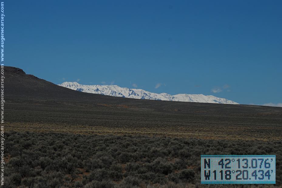
Harney County Road 205
Views of Steens Mountains
LATITUDE: N 42Ḟ13.076
LONGITUDE: 118Ḟ20.434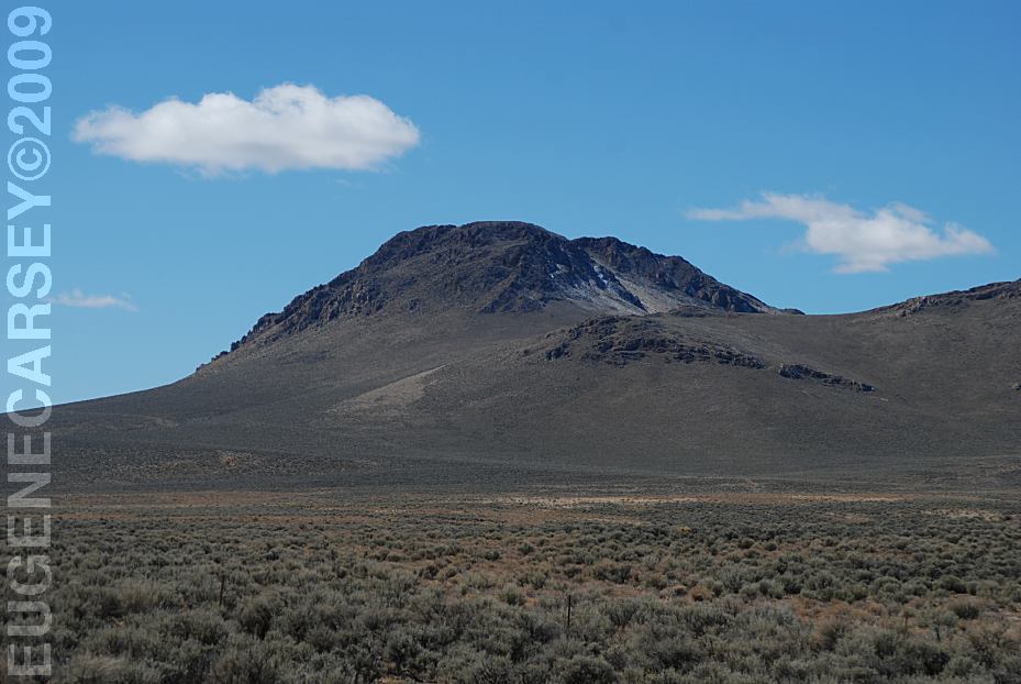
Harney County Road 205
LATITUDE: N 42Ḟ13.076
LONGITUDE: 118Ḟ20.434
Same GPS Coordinates as above image...
Steens Mountains tower above the
Alvord Desert.
Hwy.205 near Mud Lake / Malheur Reservoir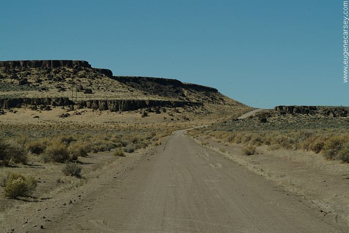
Hwy.205 near milepost 39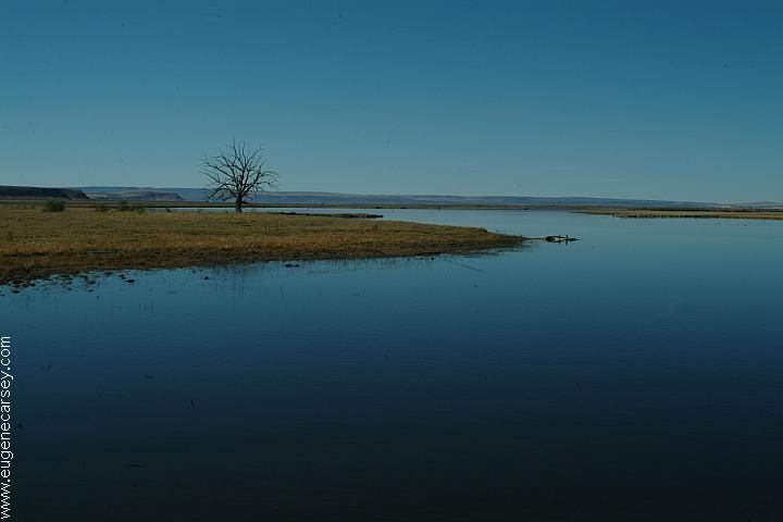
Mud Lake from Hwy.205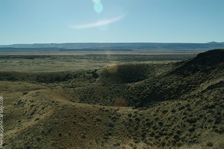
Diamond Craters
Back Country Byway. Outstanding
Natural Area of 17,000 acres. Diverse
volcanic features...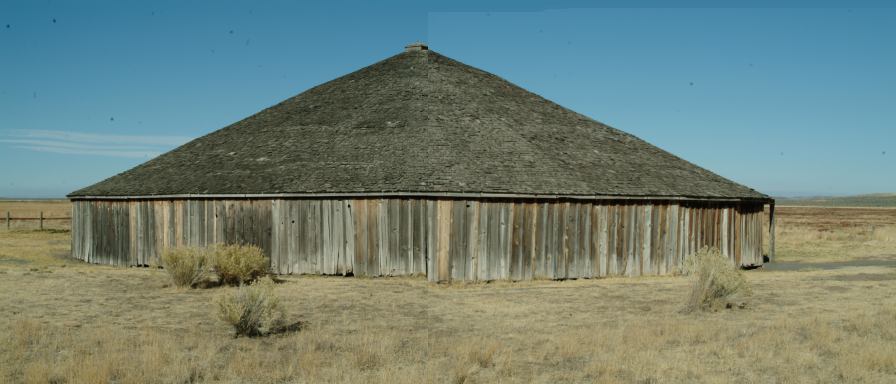
Peter French Round Barn
to train ranch horses during winter months.
Visitor center and museum opened in 2004
Also see: BUCK
SPRINGS
Also see: ONION
VALLEY
Also see: LAKE
OWYHEE
Also see: NORTH
FORK
Also see: PINE MOUNTAIN OBSERVATORY
Also see: PRINEVILLE
/ NORTH SHORE
Also see: PRINEVILLE
/ SALT CREEK
Also see: STEENS
MOUNTAIN
Also see: SUCCOR
CREEK
Also see: WINDY
GAP
Google Custom Map by Ian
Google custom map by Ian with most of the
free campgrounds in Oregon.
East Fort Rock Trail System
Hwy.20 towards Bend, OR
Camping is permitted at all the trailheads
and staging areas, as well as any existing
dispersed camps.
CAMP
II TRAILHEAD
ROAD
25 STAGING AREA
CHINA
HAT CAMPGROUND
ROAD
2510 STAGING AREA
SOUTH
LAVA TRAILHEAD
SAND
SPRINGS CAMPGROUND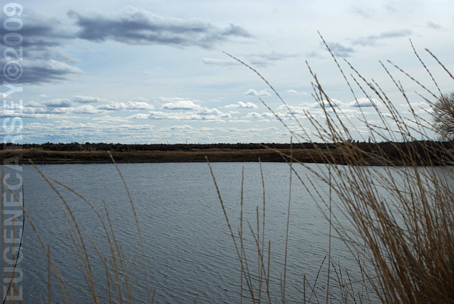
Burns Gravel Pond
LATITUDE: N 43Ḟ35.124
LONGITUDE: 119Ḟ00.560
Vaulted Toilets, Benches, Picnic and Fishing Area
Hwy.78 two miles south from Burns, OR
Funny Clouds (Alvord Desert)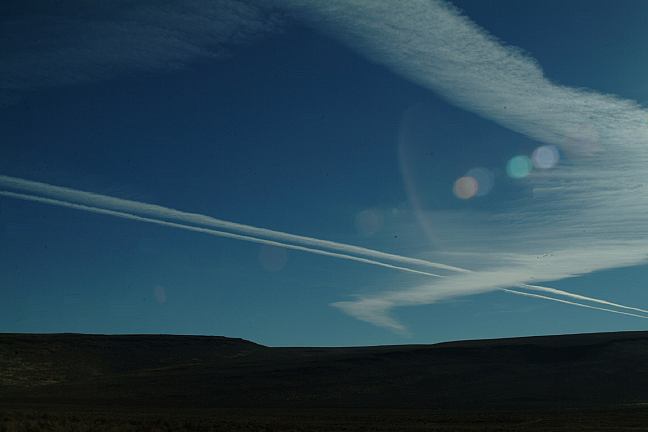
Funny Clouds (Alvord Desert)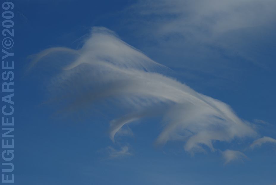
Funny cloud didn't move for hours then
it suddenly disappeared.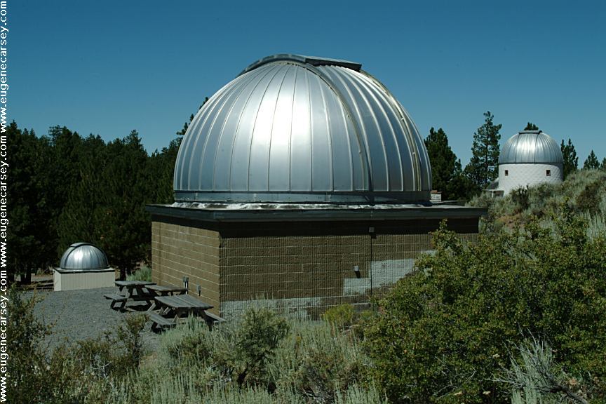
Pine Mountain Observatory
Wild Horses at Black Rock Desert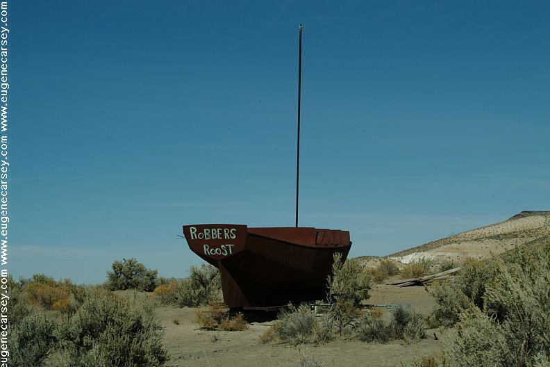
Robbers Roost
Crowley Road south from Hepner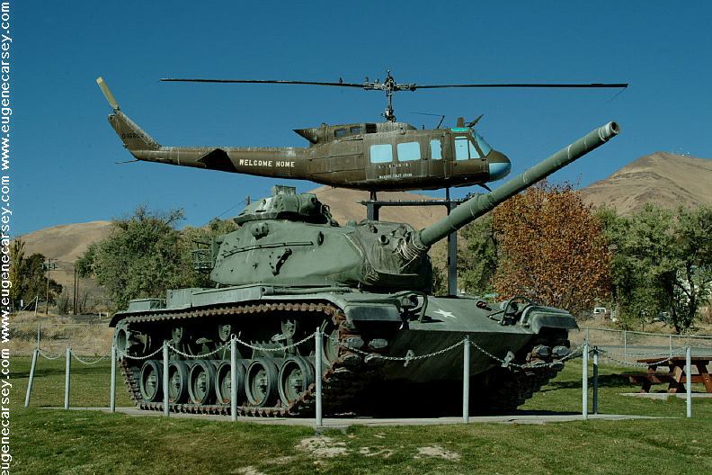
Veterans Memorial in Winnemucca, NV
Camped here Oct. 20, 2006
Camped here March 26, 2009
Very limited people when we have stayed here.
There was heavy snow on the Steens Mountain.
The temperatures were more moderate at the
lower elevations on the valley floor. It was
freezing at night, but quickly warmed up
with the sun.
Complete free campground listing
Free campgrounds and camping
OREGON CAMPGROUND DIRECTORY
ALVORD DESERT
MANN LAKE RECREATION SITE
