|
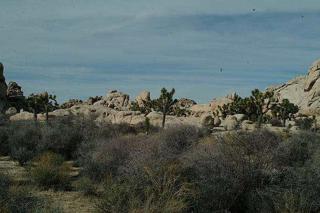
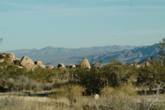
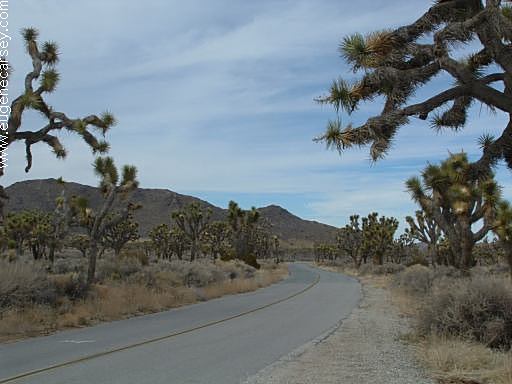
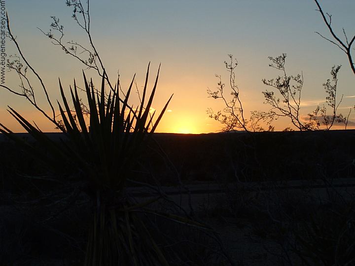
Joshua Tree NP
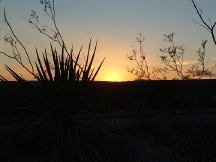
Sunset at Joshua Tree National Park
DIRECTIONS:
Located in Southern California
See Road Atlas for more complete directions.
PHOTO HERE
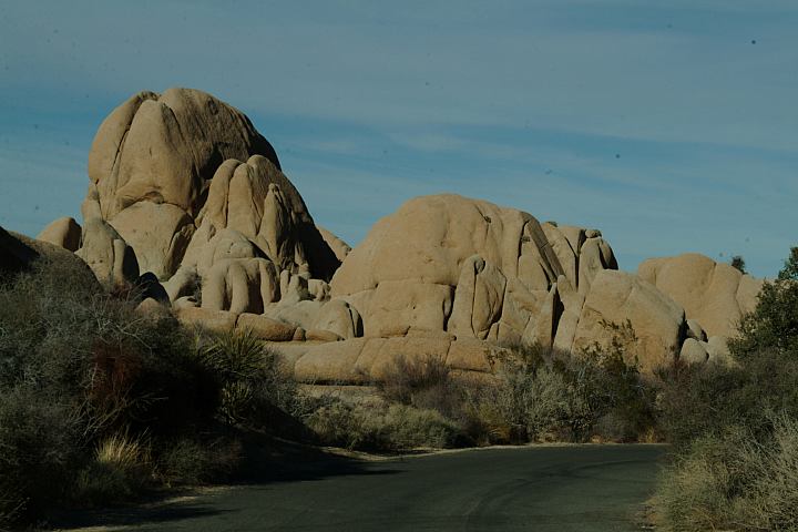
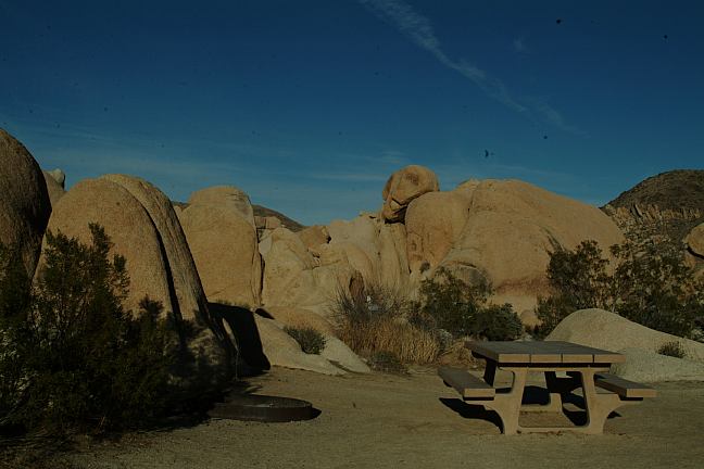
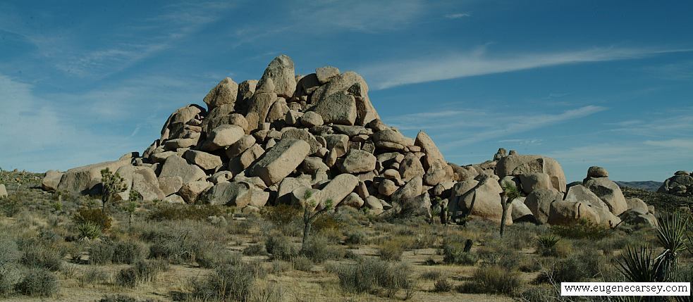
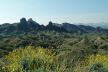
Hidden Valley
Camped here 2004
Camped here 2005
Camped here Feb.13, 2006
PHOTO HERE
Murals in Twentynine Palms, CA
PHOTO HERE
Murals in Twentynine Palms, CA
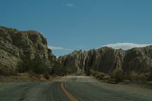
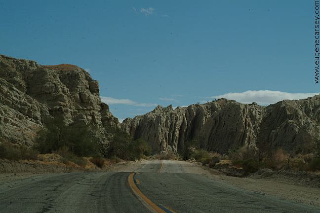
Box Canyon Road
BOX
CANYON
Box Canyon Road is south from Joshua
Tree National Park. From Cottonwood
Visitor Center, continue south on
Cottonwood Road. Cross the bridge
over I-10 and this is Box Canyon Road.
Needle Mountains
Also see: AFTON CANYON
Also see: BLAIR VALLEY
Also see: BOX CANYON ROAD
Also see: BRECKENRIDGE
Also see: CIBOLA
/ COLORADO RIVER
Also see: CHOCOLATE MOUNTAINS
Also see: CRAGGY
WASH
Also see: DEATH VALLEY / SALINE
Also see: DEATH
VALLEY / WILDROSE
Also see: DOME
ROCK MOUNTAIN
Also see: GLAMIS
Also see: GOVERNMENT WASH
Also see: GREG'S
HIDEOUT
Also see: GOVERNMENT WASH
Also see: JAWBONE
ROAD
Also see: KEYESVILLE
ROAD
Also see: LAKE
HAVASU
Also see: LAKE
ISABELLA
Also see: MIDLAND
/ COLORADO DESERT
Also see: MOJAVE
NATIONAL PRESERVE
Also see: NEEDLE MOUNTAINS
Also see: OSBORNE
WASH
Also see: PAINTED CANYON ROAD
Also see: PALM
CANYON
Also see: PALO
VERDE
Also see: PLOMOSA
ROAD
Also see: SALVATION MOUNTAIN
Also see: SCADDAN
WASH
Also see: SLAB CITY
Also see: SWANSEA
TOWNSITE
Also see: SHERMAN
PASS ROAD
Also see: TRONA
PINNACLES
Also see: WAGON WHEEL
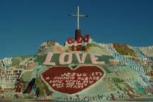
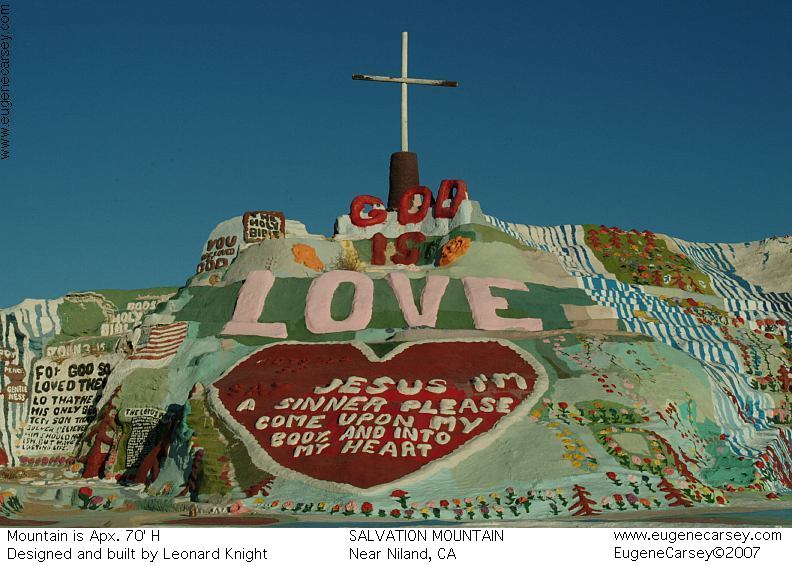
Salvation Mountain
SALVATION MOUNTAIN
Leonard Knight's Salvation Mountain
Take Hwy.111 south to Niland, CA
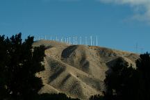
Wind turbines along I-10
"THE WIND FARM"
Photo from Whitewater Rest Area on I-10
West from Palm Springs and Cathedral City.
PHOTO HERE
Snow capped mountains in January 2006
Photo from Whitewater Rest Area on I-10
West from Palm Springs and Cathedral City.
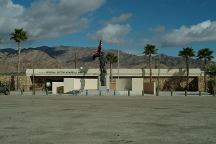
General Patton Memorial Museum
Interstate 10/ Exit 173 at Chiriaco Summit
N 33°39.697
W 115°43.330
CAMPGROUND INDEX
Complete free campground listing
CAMPING ADVICE AND TIPS
TOURIST
PHOTOS
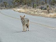
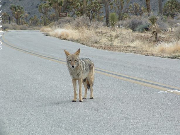
Coyote at Joshua Tree National Park

www.eugenecarsey.com

Images from Joshua Tree National Park
dispersedcampgrounds.com
Free campgrounds and camping
CALIFORNIA CAMPGROUND DIRECTORY
JOSHUA TREE NATIONAL PARK
|