|
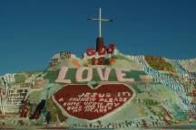
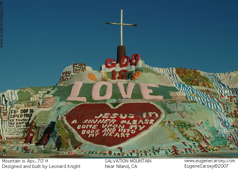
Salvation Mountain
SALVATION MOUNTAIN
Leonard Knight's Salvation Mountain
Take Hwy.111 south to Niland, CA
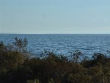
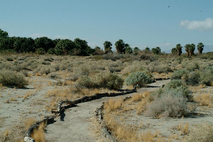
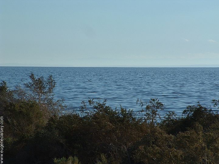
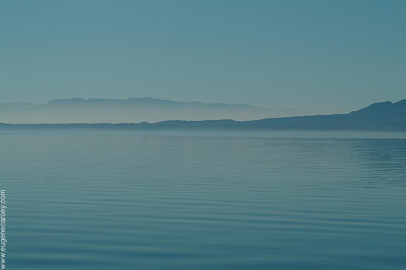
Salton Sea
SALTON SEA
Tourist Information and Travel Guide
For more information about the Salton
Sea and surrounding area.
ESTABLISHED CAMPGROUNDS
These campgrounds are located on the
shores of the Salton Sea and require
fees and payments...
HEADQUARTERS CAMPGROUND
Showers... not sure about camping fees
CORVINA BEACH CAMPGROUND
Primitive Campsites $7.00
Day Use $6.00
BOMBAY BEACH CAMPGROUND
Primitive Campsites $7.00
Day Use $6.00
Cement firerings, portable toilets, garbage,
water, and cold showers...
SALT CREEK CAMPGROUND
Primitive Campsites $7.00
Day Use $6.00
Cement firerings, portable toilets, garbage,
water...
IMPERIAL WILDLIFE AREA
Wister Unit... not sure of camping fees
$2.50 per person daily fee
Hwy.111 to Davis Road
(3 miles north of Niland)
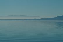
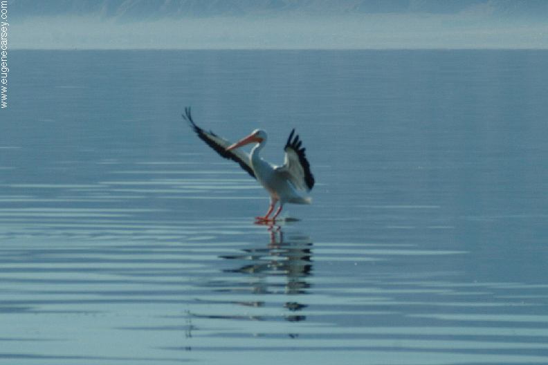
Salton Sea
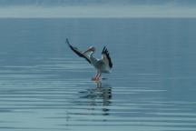
Bird landing on Salton Sea
Salton Sea was created in 1905 - 1906
Original Size: 45 miles by 17 miles wide
Original Surface Level: 195' below sea level
Today: 35 miles by 15 miles wide
Surface Area: 360 square miles
Surface Elevation: 228' below sea level
110 miles of shoreline
Average Depth: Less than 20'
Deepest Area: 50'
Summer temp. is 55 degrees
Winter temp. is 55 degrees
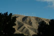
Wind turbines along I-10
"THE WIND FARM"
Photo from Whitewater Rest Area on I-10
West from Palm Springs and Cathedral City.
Also see: AFTON CANYON
Also see: ALAMO LAKE
Also see: BETTY'S KITCHEN
Also see: BLAIR VALLEY
Also see: BOX CANYON
Also see: CARRIZO BADLANDS
Also see: CIBOLA
/ COLORADO RIVER
Also see: CHOCOLATE MOUNTAINS
Also see: COLORADO
DESERT
Also see: CRYSTAL
HILL
Also see: DOME
ROCK MOUNTAIN
Also see: GLAMIS
Also see: GREG'S
HIDEOUT
Also see: JOSHUA
TREE
Also see: KING
VALLEY
Also see: MOJAVE
DESERT
Also see: NEEDLE MOUNTAINS
Also see: PAINTED
CANYON
Also see: PALM
CANYON
Also see: PALO
VERDE
Also see: PLOMOSA
ROAD
Also see: SLAB CITY
Also see: SCADDAN
WASH
Also see: SWANSEA
TOWNSITE
CAMPGROUND INDEX
Complete free campground listing
CAMPING ADVICE AND TIPS
TOURIST
PHOTOS
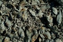
Dead fish on shores of Salton Sea

www.eugenecarsey.com
dispersedcampgrounds.com
Free campgrounds and camping
CALIFORNIA CAMPGROUND DIRECTORY
CHOCOLATE MOUNTAINS
|