|
Imperial County Niland Boat Ramp and
Fishing Access has been abandoned, the
County Park closed... but you can camp
out here.
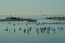
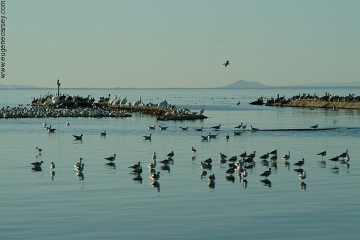
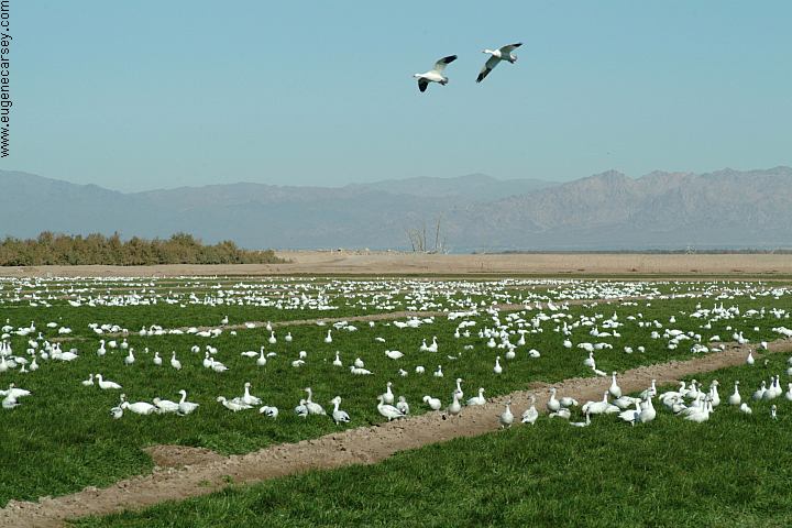
Birds at Niland Boat Ramp
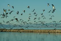
Birds at Niland Boat Ramp
There are thousands of birds in this area.
They particularly like the little islands that
extend out from the boat ramp.
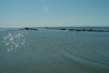
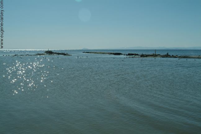
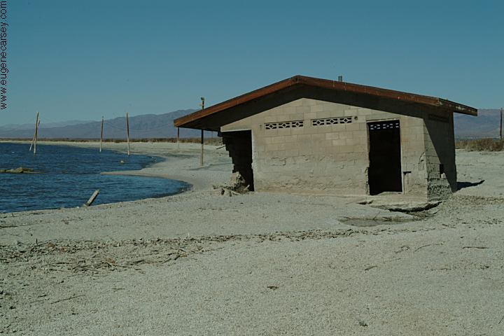
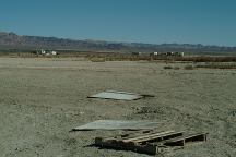
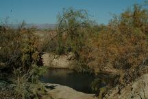
Niland Boat Ramp
The boat ramp hasn't been used in years.
It has suffered the same fate as the rest of
the area...
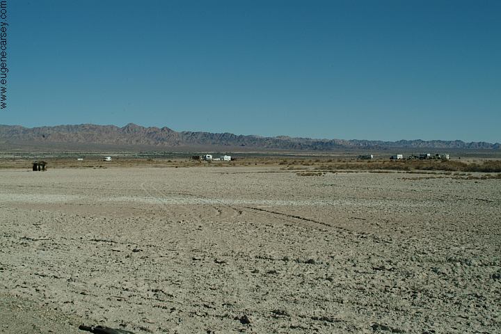
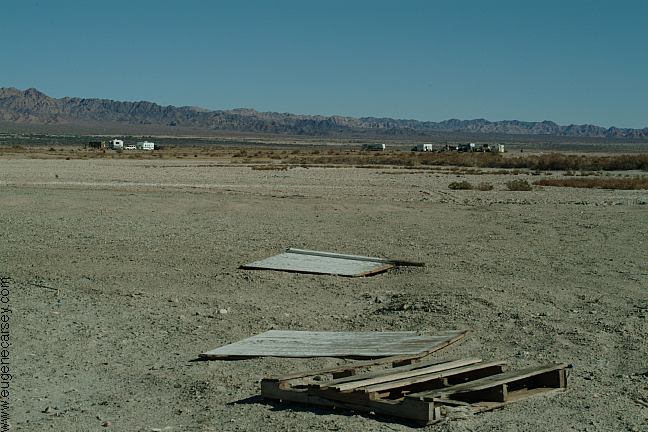
RV's and Campers
RV's and Campers
RV's parked at the old County Park. Maybe
just snow birds for the winter, but they appear
to be here long term...
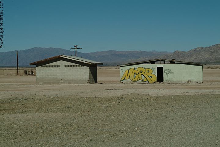
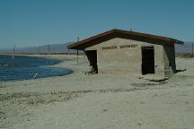
Old outhouse...
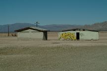
Old buildings...
Old buildings...
Old buildings have been flooded and the
foundations washed out.
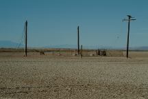
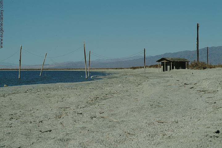
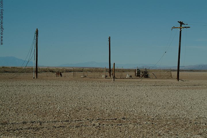
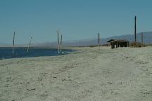
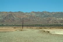
Power Lines
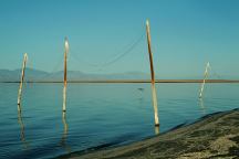
Power Lines into the sea...
The old power lines extend into the Salton Sea.
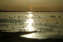
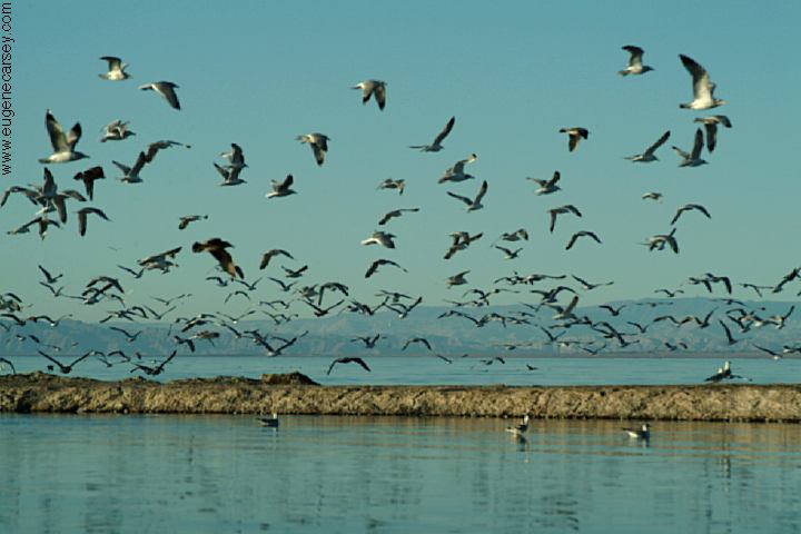
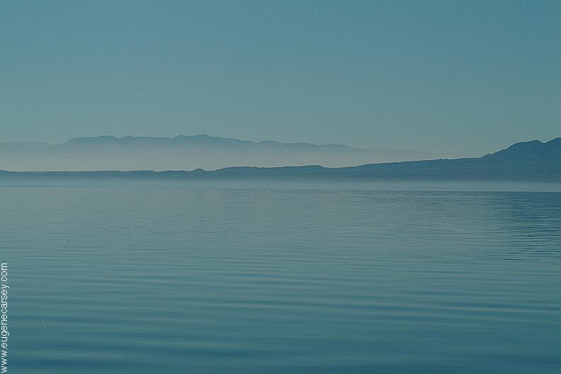
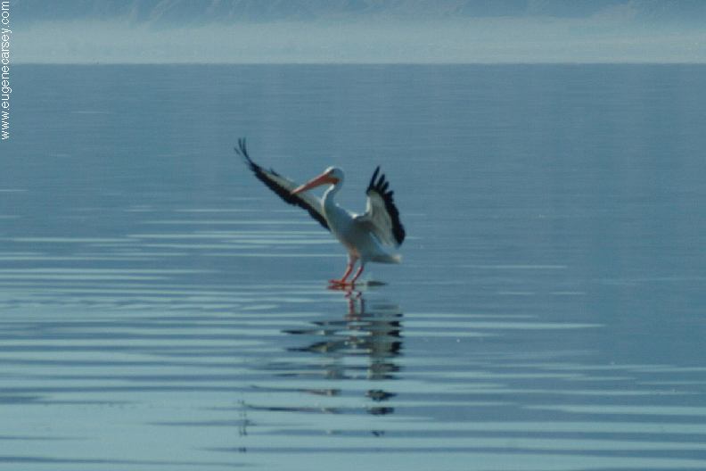
Sunrise at Niland Boat Ramp
Sunrise at Niland Boat Ramp with the
birds absorbing the first rays of sunlight.
Never expected this photo, just did a single
shot, figured it was a waste of time.
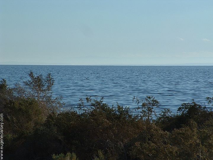
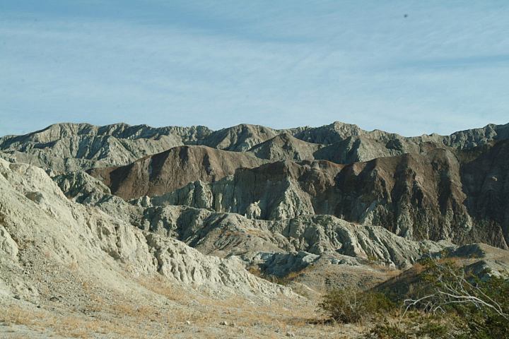
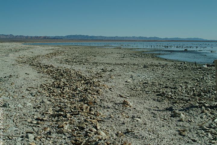
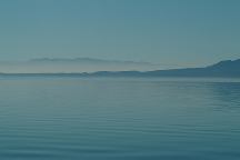
Salton Sea near Mecca, California
ESTABLISHED CAMPGROUNDS
These campgrounds are located on the
shores of the Salton Sea and require
fees and payments...
HEADQUARTERS CAMPGROUND
Showers... not sure about camping fees
CORVINA BEACH CAMPGROUND
Primitive Campsites $7.00
Day Use $6.00
BOMBAY BEACH CAMPGROUND
Primitive Campsites $7.00
Day Use $6.00
Cement firerings, portable toilets, garbage,
water, and cold showers...
SALT CREEK CAMPGROUND
Primitive Campsites $7.00
Day Use $6.00
Cement firerings, portable toilets, garbage,
water...
IMPERIAL WILDLIFE AREA
Wister Unit... not sure of camping fees
$2.50 per person daily fee
Hwy.111 to Davis Road
(3 miles north of Niland)
RED HILL MARINA
On the southern shore of the Salton Sea
near Sonny Bono National Wildlife Area.
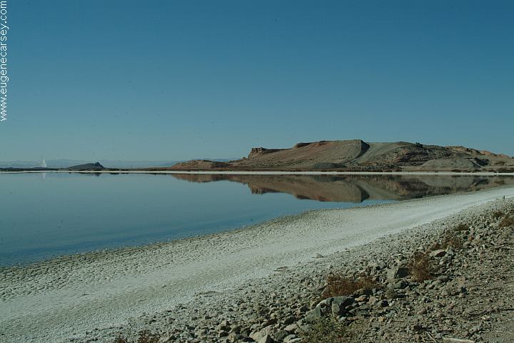
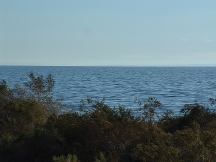
Salton Sea from Corvina Beach Campground
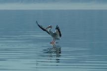
Bird landing on Salton Sea
Salton Sea was created in 1905 - 1906
Original Size: 45 miles by 17 miles wide
Original Surface Level: 195' below sea level
Today: 35 miles by 15 miles wide
Surface Area: 360 square miles
Surface Elevation: 228' below sea level
110 miles of shoreline
Average Depth: Less than 20'
Deepest Area: 50'
Summer temp. is 92 degrees
Winter temp. is 55 degrees
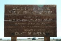
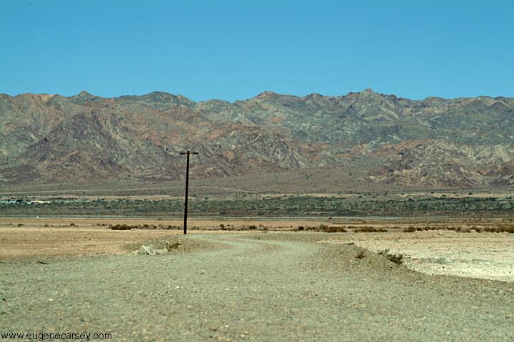
Salton Sea - Niland Public Fishing Access
Road to Niland Boat Ramp and Fishing Access
Looking east towards Hwy.111
DIRECTIONS:
From Niland, CA
Take Hwy.111 north about xx miles
(Just past the Immigration Checkpoint)
Turn left to Niland Boat Ramp
DISTANCES FROM NILAND, CA
Bombay xx miles
Niland xx miles
Indio 56 miles
Los Angeles 183 miles
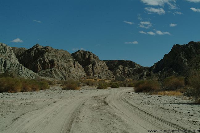
There are some hot springs and a shower
Between Niland and Slab City on Beal Road.
They are on the same side of the road as
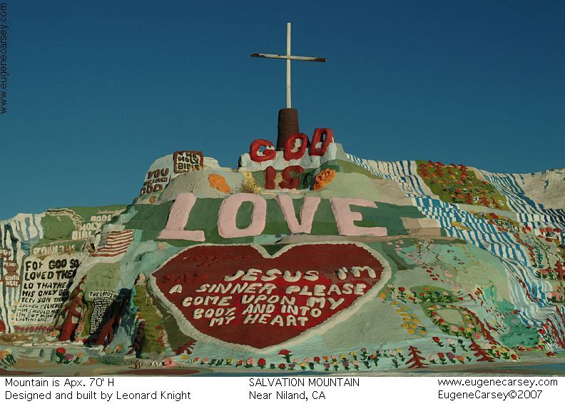
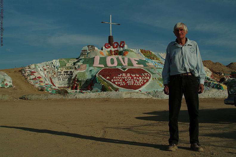
Salvation Mountain, which you can see in
the distance. There is a sign that says,
"If Vehicle Is Here Please Stay Away"
Hot Springs between Niland and Slab City
The hot springs are near the three cement
columns. Temperature around 97 degrees.
Stay away if another vehicle parked here.
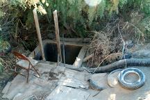
Shower between Niland and Slab City
The shower is near the cement building.
At first glance it looks intimidating. You
have to climb down a hole in the ground.
It actually was a great shower... especially
on a hot day. Water is about 75 degrees.
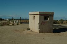
Guard Station marks the shower location
|