http://www.dispersedcampgrounds.comhttp://www.eugenecarsey.com

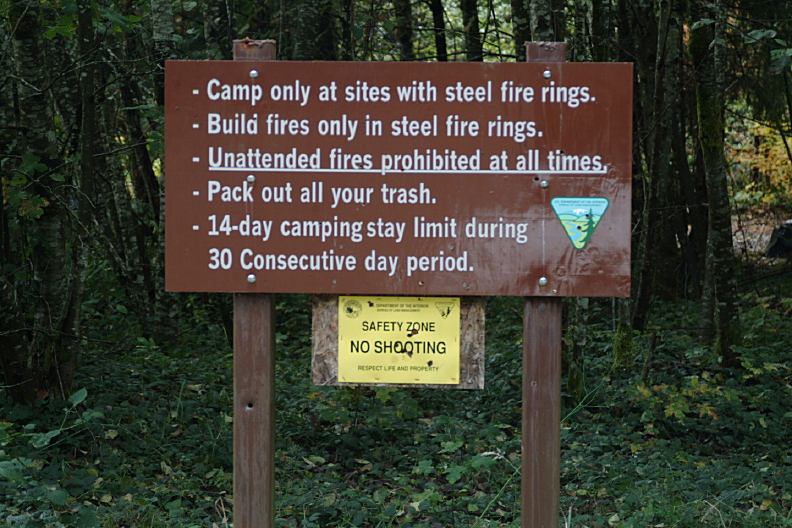
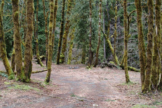
Free camping and campgrounds
OREGON CAMPGROUND DIRECTORY
GREEN PETER RESERVOIR
QUARTZVILLE BACK COUNTRY BYWAY
QUARTZVILLE RECREATION CORRIDOR
LATITUDE: N 44°29.264
LONGITUDE: W 122°30.479
(GPS from bridge near milepost#10)
LATITUDE: N 44°35.000
LONGITUDE: W 122°59.003
(GPS from Hwy.22 and Straight Creek Road)
Dispersed and Primitive Camping

Green Peter Lake
Green Peter Lake

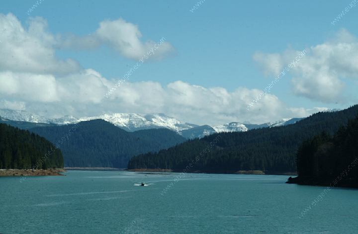
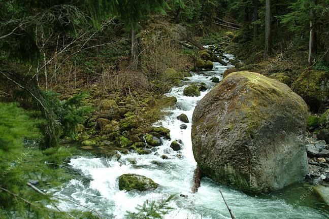
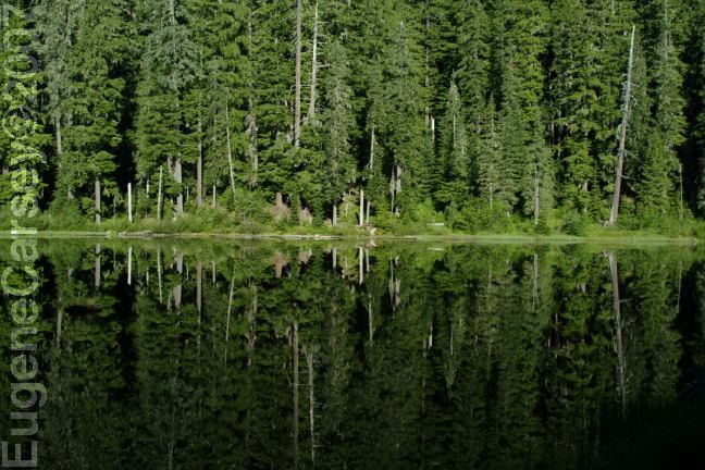
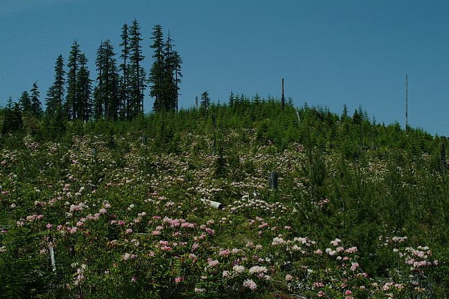
Emerald green water with panoramic views
of the Cascade Mountains. Quartzville Road
winds along the edge of Green Peter Lake
and Quartzville National Wild and Scenic River.
There are some sections of old growth forest
and inspiring rock outcroppings. From spring
wildflowers to fall foliage, like a painting
spattered with color...

Colors painted on the landscape
Colors painted on the landscape.
October 7, 2007

Quartzville Creek
Quartzville Creek

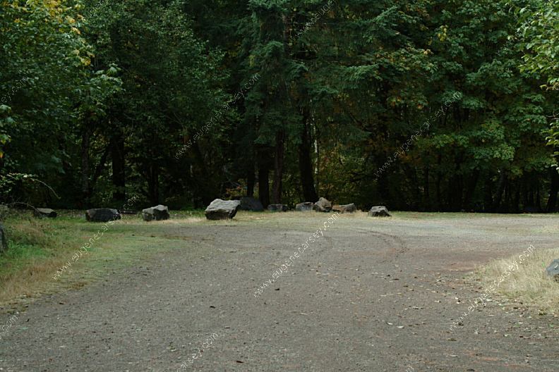
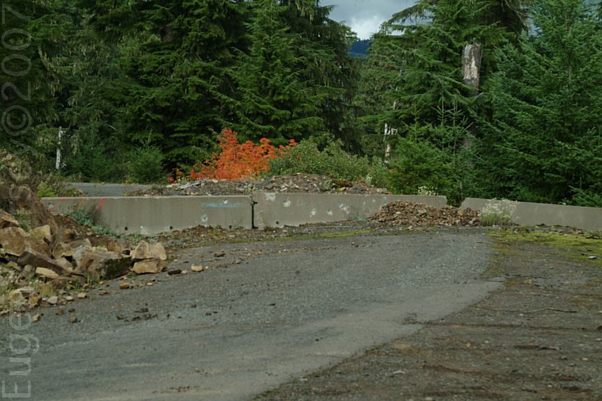
Dispersed campsites with metal firerings

Rules
Rules at Quartzville National Wild and Scenic River

14 Day Camping Limit during
30 consecutive day period
Quartzville National Wild and Scenic River is a
Designated Camping Area. Camp only at sites
with steel fire rings.

Camp near MP20
Camping area near MP20

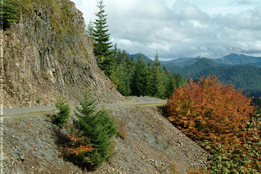
Most of the camping areas are pull-outs with
metal fire rings. In above photo you can see
the metal fire ring. One side is the road and
the river borders the opposite side of the
camp area.

River MP21
River view near MP21

DOGWOOD PICNIC AREA
LATITUDE: N 44°32.961
LONGITUDE: W 122°25.737
Quartzville Road at Milepost#18
Vaulted toilet and garbage service.

YELLOW BOTTOM CAMPGROUND
and River Access Parking Area
LATITUDE: N 44°35.344
LONGITUDE: W 122°22.422
Quartzville Road near Milepost#24
Vaulted toilet and garbage service.
Campground charges a usage fee.
Campground closed in winter months.

Recreational gold panning info and permits?
The other day there was a rainbow composed
of solid colors, so deep and rich you couldn't
see through it. This rainbow touched down in
the middle of a creek... suspect our Pot O' Gold
is waiting at that spot.

Creek
Creeks and streams...

PHOTO HERE
Opal specimen from Road#xx

Ran into some opal miners. Actually they
weren't mining, just searching through some
rock piles and slide areas. Interesting.... have
heard there is opal in all 50 States. There are
all different colors of opal...

Old Miner Meadow
Old Miner Meadow

Old Miner Meadow
Old Miner Meadow
Group Camp Area

OLD MINERS MEADOW
LATITUDE: N 44°35.154
LONGITUDE: W 122°21.189
Quartzville Road near Milepost#25
Group Camp Area
There are some single campsites with metal firerings.
Use Fee Required for Group Camp

Washed-out bridge at MP28
Photo from 2006

LATITUDE: N 44°34.586
LONGITUDE: W 122°18.001
(GPS From on the old bridge)
MP28 is a nice camp site. We walked on
the old bridge and it was kind of scary.
Besides being wet and slippery, your
imagination might start working overtime...
UPDATE: FROM THE BLOG
The logs on the old bridge have been moved
around and the log across the river has been
washed downstream a couple 100 yards.
(October 7, 2007)
VIEW PHOTO

Mushrooms near MP28 Gravel Pit

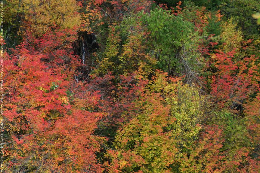
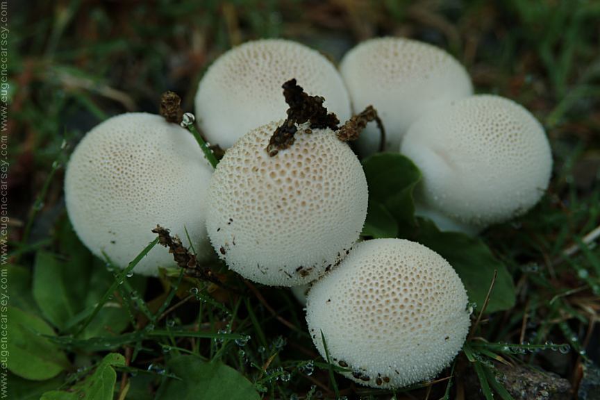
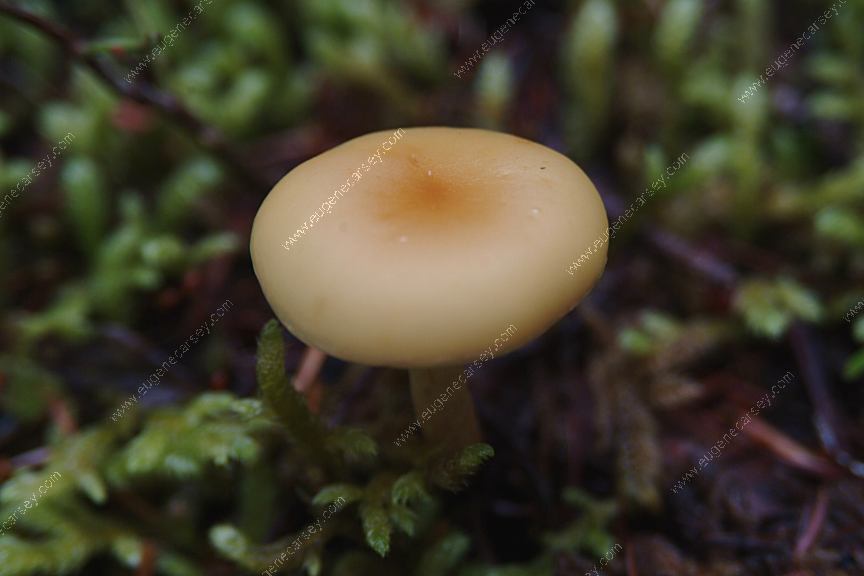
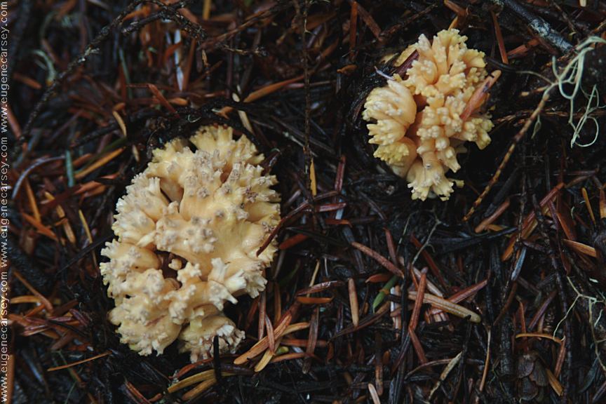
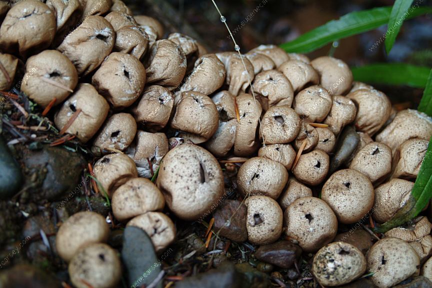
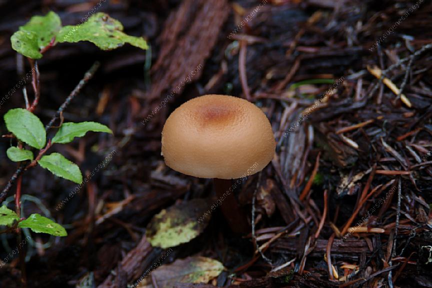
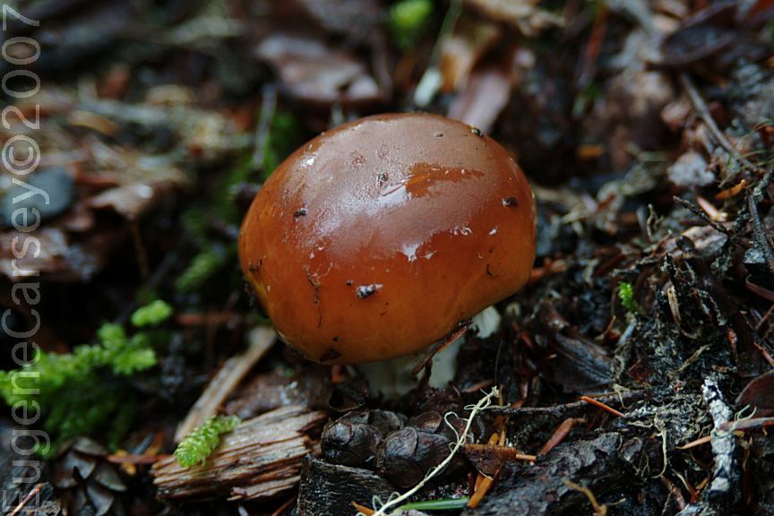
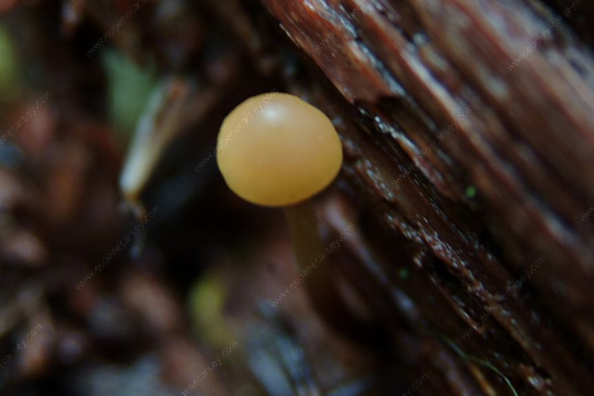
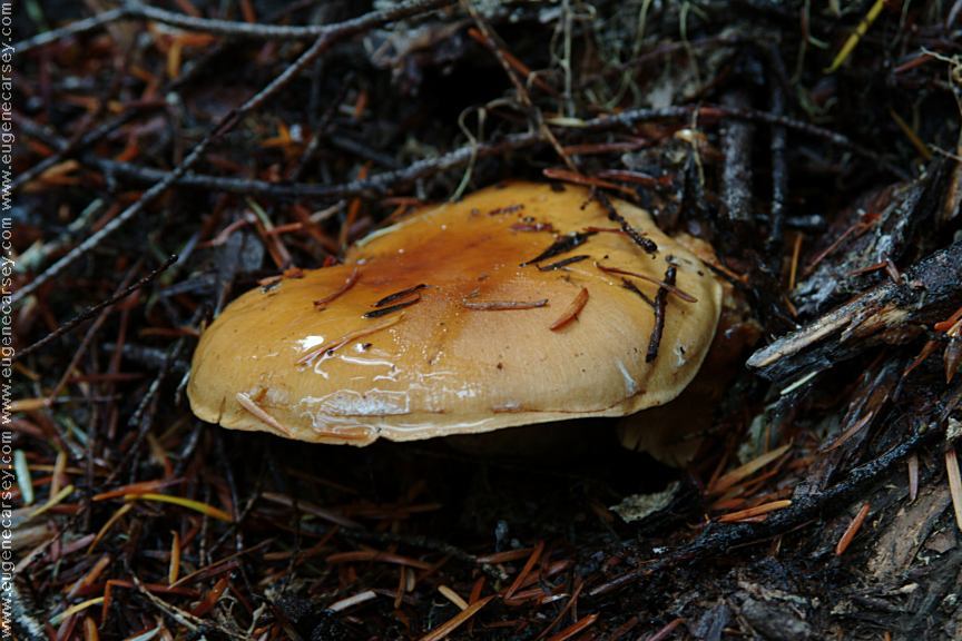
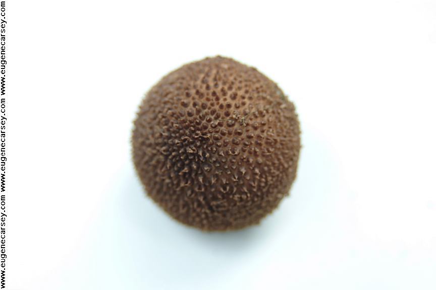
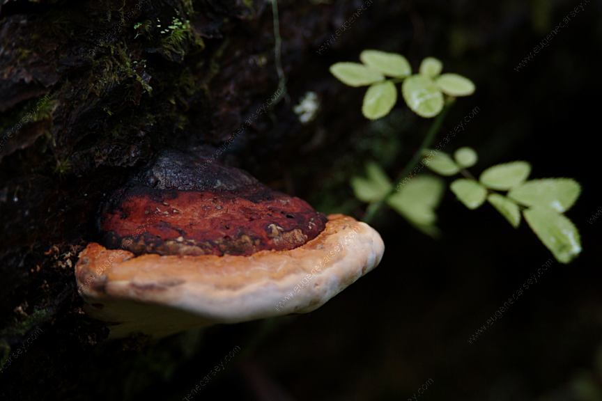
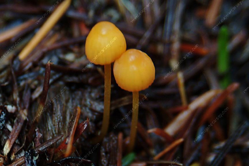
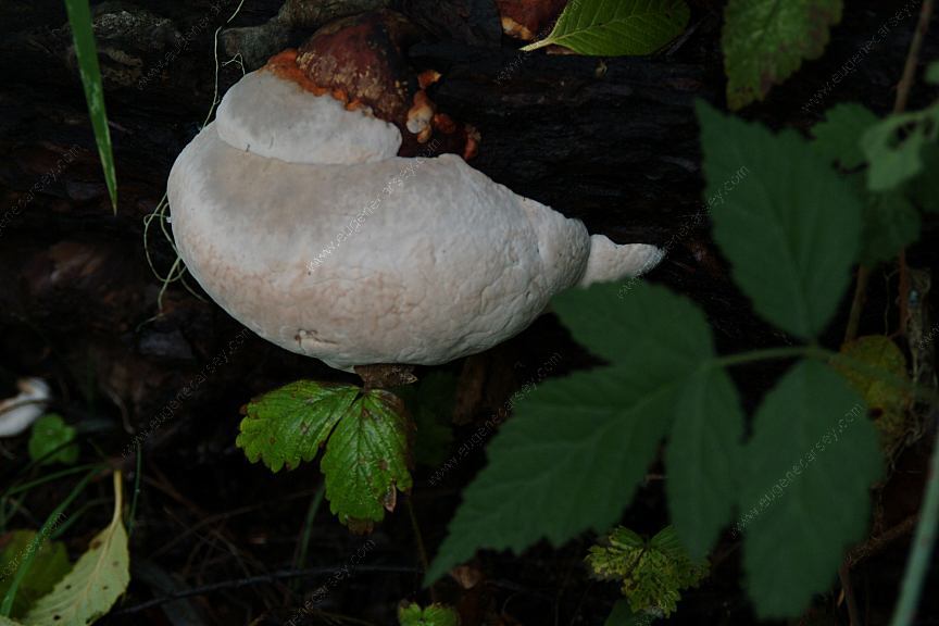
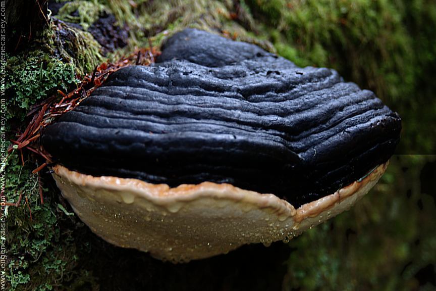
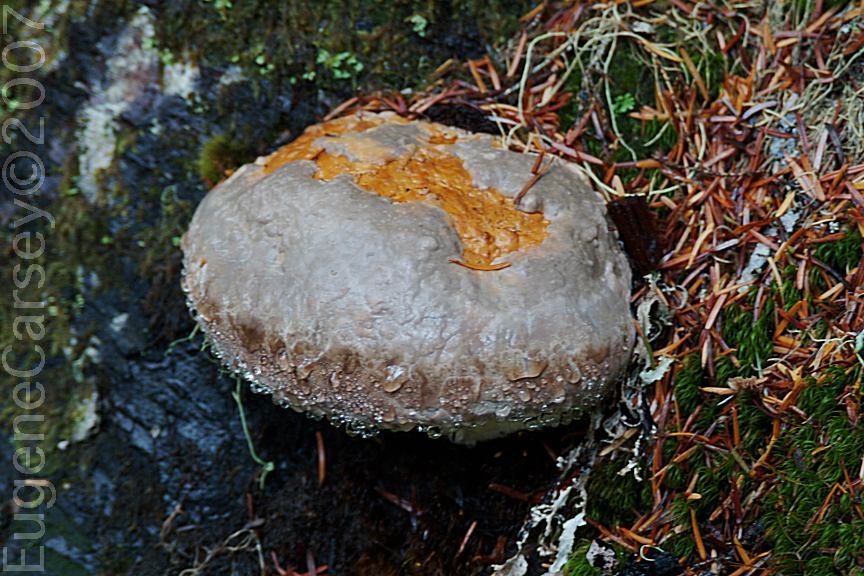
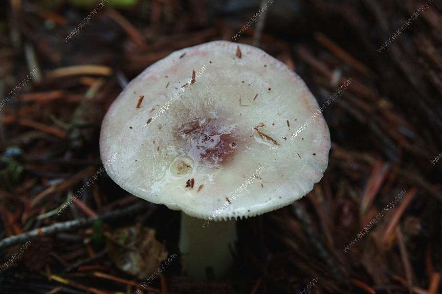
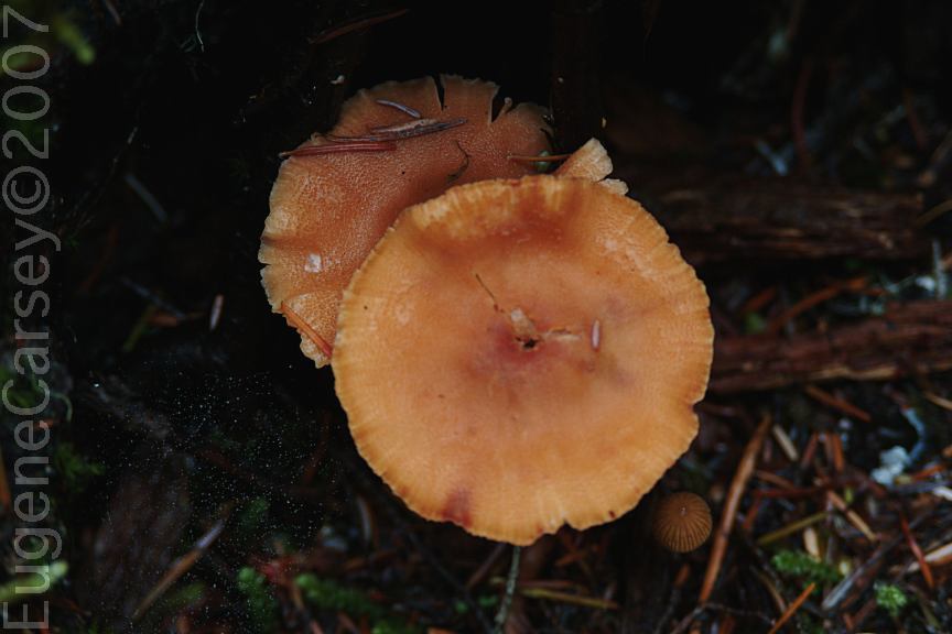
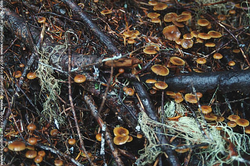
Mushrooms are common sights.

Camp Site
Camp area at MP28

Tule Lake in the early morning
Tule Lake in the early morning.

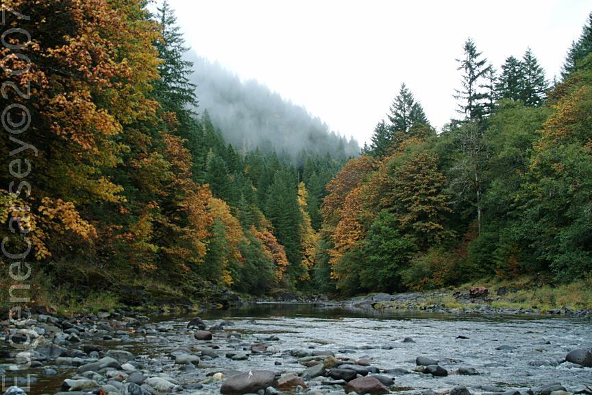
Tule Lake is on Road#1162. There is a nice campsite
on the north end of the lake. There will be some
fishermen in the morning, enjoying nature and the
solitude of Tule Lake.

Mount Jefferson
Mountain view from Road#1162
(Mount Jefferson)

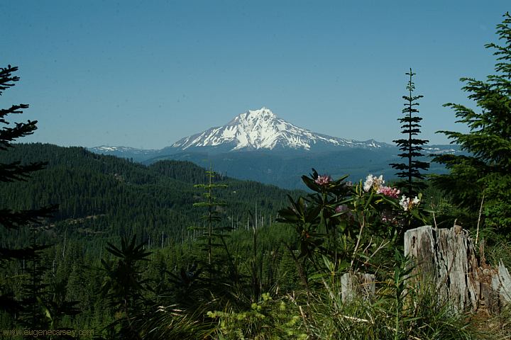
Just north of Tule Lake is an incredible view of
Mount Jefferson from Road#1162. Mount Jefferson
is the second highest peak in Oregon at 10,497'

Trees at the campsite on Road#1164

LATITUDE: N 44°34..996
LONGITUDE: W 121°59.003
Road#1164 near Milepost 46
(Between milepost 45 and 46)
About 1/5 mile on Road#1164 and there is
a nice little camp next to a creek. This road
is much less traveled, especially on the busy
weekends. Surrounded by old growth forest.
The wildflowers are exploding with color
June 2006

Wildflowers on Road#1162

Wildflowers on Road#1164

Continue down Road#1164 and there is
another camp about 4 miles, just before
the junction of Road#1162. There is a
meadow and spring near the camp.

ROAD#310
At the junction of Road#2266 and Road#1164
There are some camps down Road#310

LATITUDE: N 44°35.000
LONGITUDE: W 122°59.003
(GPS from Hwy.22 and Straight Creek Road)
Campsites near the Junction of Hwy.22 and
Straight Creek Road. Campsites on both sides
of the bridge....

Rock formations on Road#1133

Road#450 past Daly Lake

Road#450 leads to Daly Lake and continues...

DIRECTIONS:
From Sweet Home, OR
Turn on 60th Ave.
Go over Foster Dam.
Stay right at Quartzville Road to Green Peter Dam.

From Sweet Home, OR
Take Hwy.20 east for 1 1/2 mile
At milepost#33 turn left on Quartzville Road

From Hwy.22
Milepost 69 between Detroit and Sisters
Turn on NF Road #11/ Straight Creek Road

Quartzville Road between Hwy.20 and Hwy.22
is apx. 50 miles in length. No services.
Camp areas everywhere along the roadside.

ROAD CONDITIONS:
Quartzville Road is paved.
Winter brings snow and bad weather.
The road closed at the higher elevations.

MILEAGE CHART FROM:
JUNCTION of HWY.22 and ROAD#11

Detroit
Sisters

19 miles
38 miles

JUNCTION of HWY.22 and ROAD#2266

Road#11
Road#1164
Road#1161

xx miles
2 miles
4.5 miles

MAP
This is our personal hand drawn map.
Not guaranteed for accuracy.

Lowest priced gas in Albany or Salem

Road
View from Road#450

Autumn Colors on Road 2202
Autumn Colors on Road#2202
October 7, 2007

Autumn Colors on Road 2202
Autumn Colors on Road#2202
October 7, 2007

Autumn Colors on Road 2202
Autumn Colors on Road#2202
October 7, 2007

End of the Road
End of Road#2202

Walked only a couple hundred feet from
our campsite and there were dozens of
different mushrooms.

Mushrooms
Mushrooms from October 8, 2007

Mushrooms
Mushrooms from October 8, 2007

Mushrooms
Mushrooms from October 8, 2007

Mushrooms
Mushrooms from October 8, 2007

Mushrooms
Mushrooms from October 8, 2007

Mushrooms
Mushrooms from October 8, 2007

Mushrooms
Mushrooms from October 8, 2007
Mushrooms
Mushrooms from October 8, 2007

Mushrooms
Mushrooms from October 8, 2007

Mushrooms
Mushrooms from October 8, 2007

Mushrooms
Mushrooms from October 8, 2007

Mushrooms
Mushrooms from October 8, 2007

Mushrooms
Mushrooms from October 8, 2007

Mushrooms
Mushrooms from October 8, 2007

Mushrooms
Mushrooms from October 8, 2007

Mushrooms
Mushrooms from October 8, 2007

Mushrooms
Mushrooms from October 8, 2007

Mushrooms
Mushrooms from October 8, 2007

MUSHROOM PHOTOS
Photos of mushrooms from our travels.

Also see: COVE CREEK
Also see:
DETROIT LAKE
Also see:
HIGHWAY 224
Also see:
JACK LAKE ROAD
Also see:
LAKE BILLY CHINOOK
Also see:
LOST LAKE CAMPGROUND
Also see:
McKENZIE / ALDER SPRINGS
Also see:
McKENZIE / LAVA CAMP LAKE
Also see:
McKENZIE / SCOTT LAKE
Also see:
OLALLIE SCENIC AREA
Also see:
ROAD#46
Also see:
ROAD#4670
Also see:
ROAD #63
Also see:
ROUND LAKE
Also see:
SMITH RESERVOIR

Google Custom Map Free Oregon Campgrounds
Google Custom Map by Ian

OREGON FREE CAMPGROUND MAP
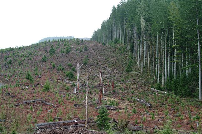
Google custom map by Ian with most of the
free campgrounds in Oregon
.

Litter
Garbage is a problem...
It is hard to understand such acts of disrespect.

THE BAD THINGS:

  • Summer weekends get more crowded each year.
  • It can be a free-for-all, especially on holidays like July 4th.
  • Garbage and litter everywhere with no respect for nature.
  • Large scale tree farm and nursery.
  • The police will stop to check your ID and ask
    questions at any time.

Autumn Colors on Road 2202
Old Clear-Cut on Road#2202

Tree Farm
Tree Farm and Nursery

UPDATE: Saturday June 24, 2006
Wall-to-wall people, almost every space taken.
Sunday night was almost empty, but trash left
everywhere. Several campfires were left burning...
Fireworks, chainsaws, and gunshots filled the night.

Slash pile covered with plastic
Slash pile covered with plastic on Hwy.22

We saw hundreds of slash piles that are
covered with plastic.

Heard on the radio yesterday that the best way
to prevent forest fires is to cut the trees down.

Cleaning dust in the National Forest
Tax dollars at work...

At first it sounded like a chainsaw.
Cleaning dust from a National Forest
must be a thankless job... not to mention
the danger of speeding cars that show
no respect. It is recommended to wear
earplugs.

CAMPGROUND INDEX
Complete free campground listing

CAMPING ADVICE AND TIPS

TOURIST PHOTOS

Column Rock Formations
Columnar Rock Formations on Road#2202

Camped here several times over the last couple years.
Camped here April 8, 2006
Camped here June 23, 2006
Camped here June 26, 2006
Camped here October 6, 2007
Camped here February 15, 2008
Snow on the ground and the road was closed a couple
miles north from Green Peter Dam. There were other
people camping even in the winter season.

Copyright Notice
www.eugenecarsey.com

dispersedcampgrounds.com
Free Campground and Camping
OREGON CAMPGROUND DIRECTORY
QUARTZVILLE BACK COUNTRY BYWAY
GREEN PETER RESERVOIR