|
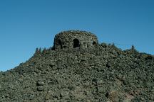
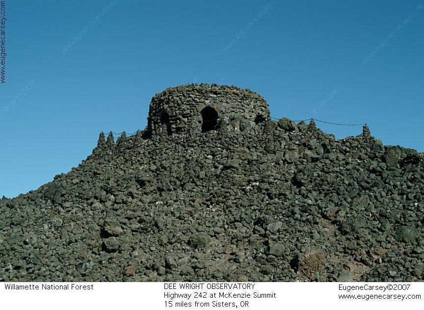
Dee Wright Observatory
DEE WRIGHT OBSERVATORY
Mystical and magical are terms used to describe
Dee Wright Observatory near McKenzie Summit.
Hwy.242 about 15 miles from Sisters, OR
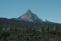
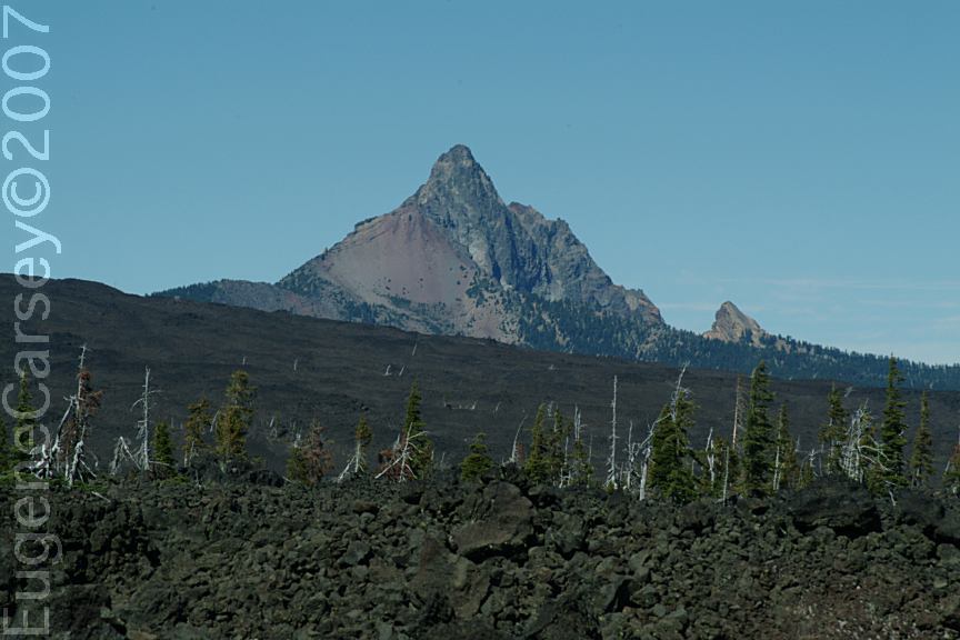
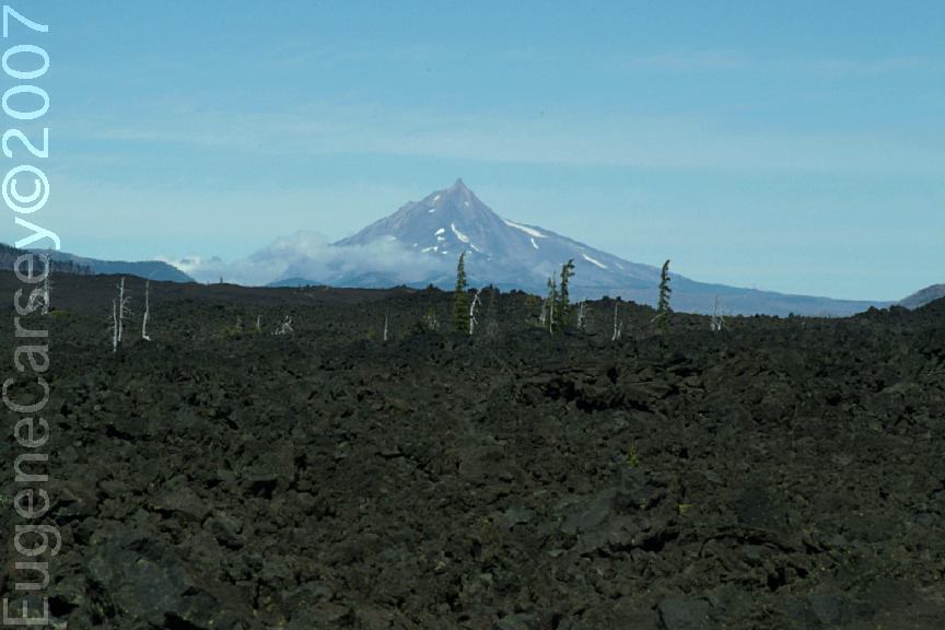
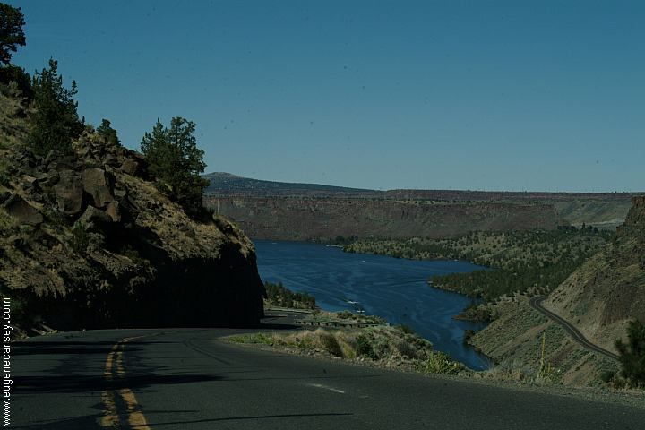
Mount Washington
Viewed from Dee Wright Observatory
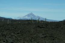
Mount Jefferson
Viewed from Dee Wright Observatory
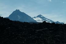
Three Sisters Mountains
Viewed from Dee Wright Observatory
(North and Middle Sister Mountains)
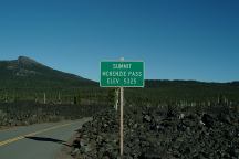
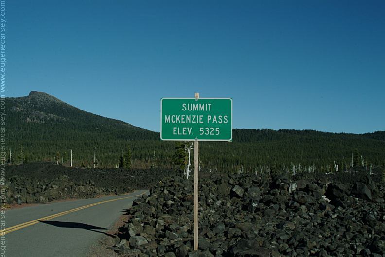
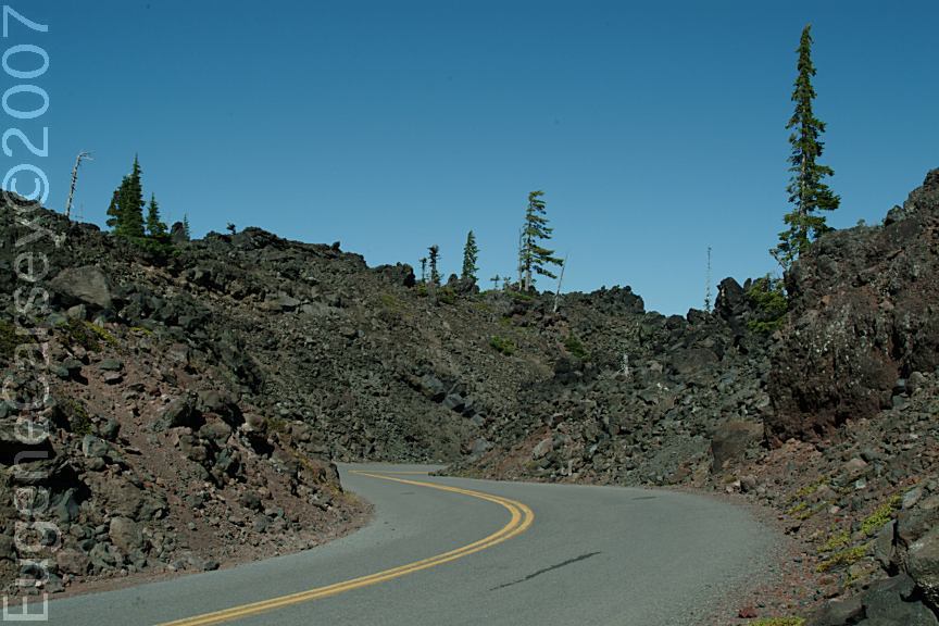
McKenzie Pass Summit
Elevation 5325'
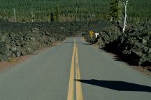
McKenzie Summit
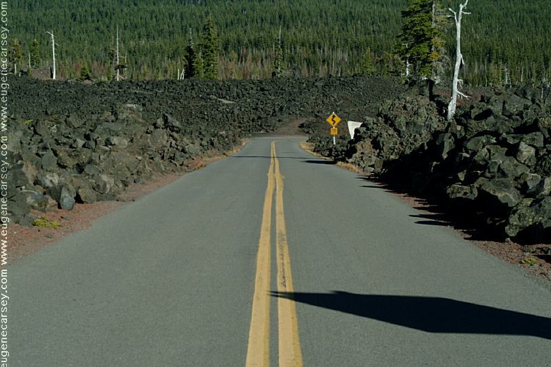
Hwy.242 towards Sisters, OR
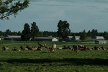
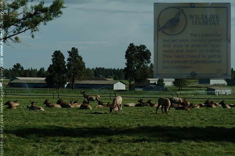
Elk on Hwy.242 near Sisters, OR
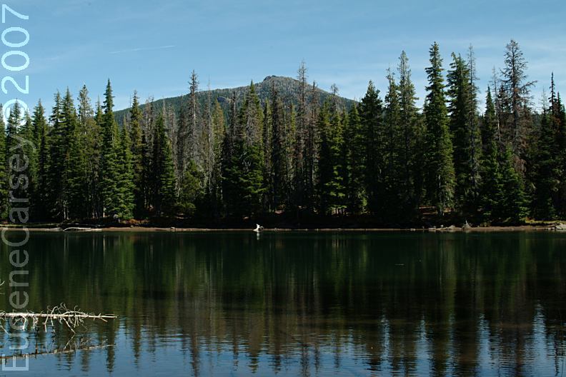
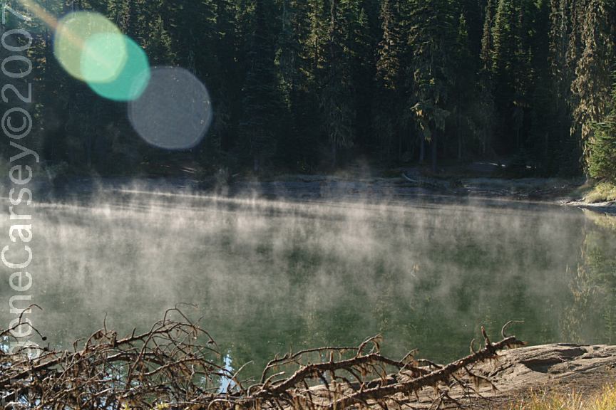
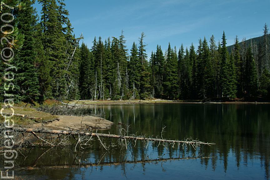
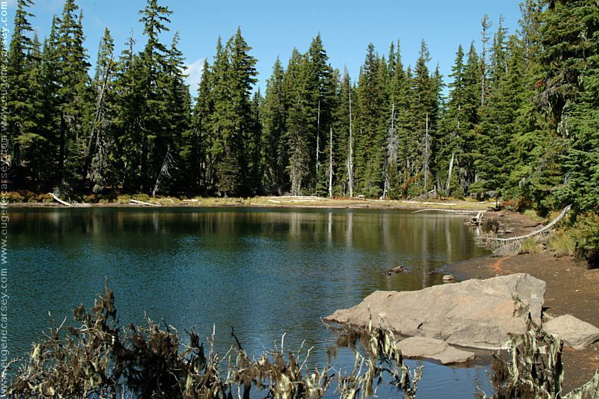
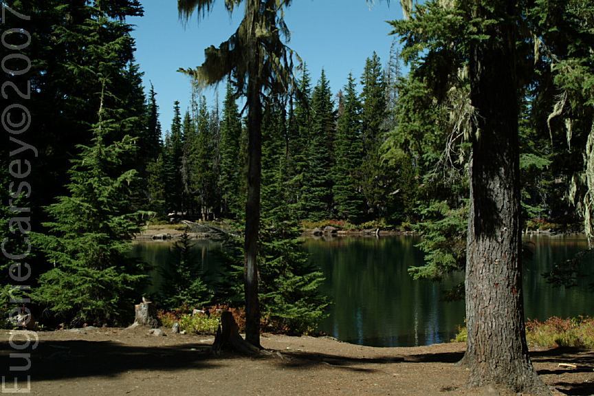
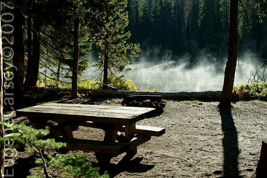
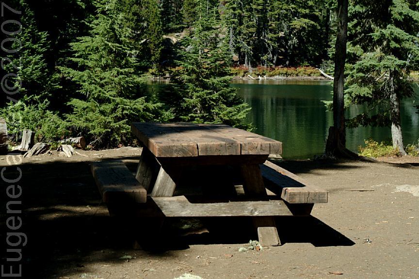
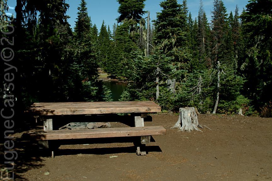
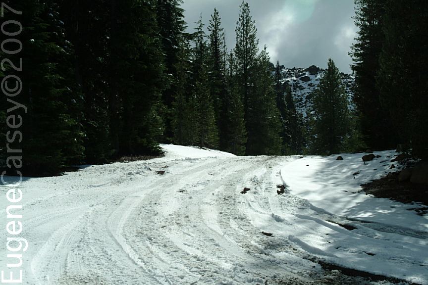
SCOTT LAKE CAMPGROUND
This is a free campground...
LATITUDE: N 44°12.646
LONGITUDE: W 121°53.245
(GPS From information sign near entrance)
LATITUDE: N 44°12.704
LONGITUDE: W 121°53.407
(GPS From dispersed campsite)
Hwy. 242 between milepost 71- 72
Road#260 for 1/2 mile
Picnic tables, firerings, and outhouse.
A couple sites with parking and walk-in
tent sites. Trailheads lead to many small
lakes within a short distance...
ALDER SPRINGS CAMPGROUND
This is a free campground...
LATITUDE: N 44°10.625
LONGITUDE: W 121°54.802
Highway 242 near milepost 65.8
Picnic tables, metal firerings, and outhouse.
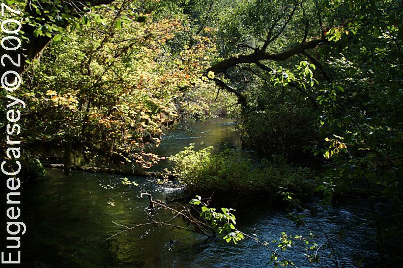
Trailhead for Linton Lake
Small campground with 6 picnic tables,
5 firerings, and limited parking
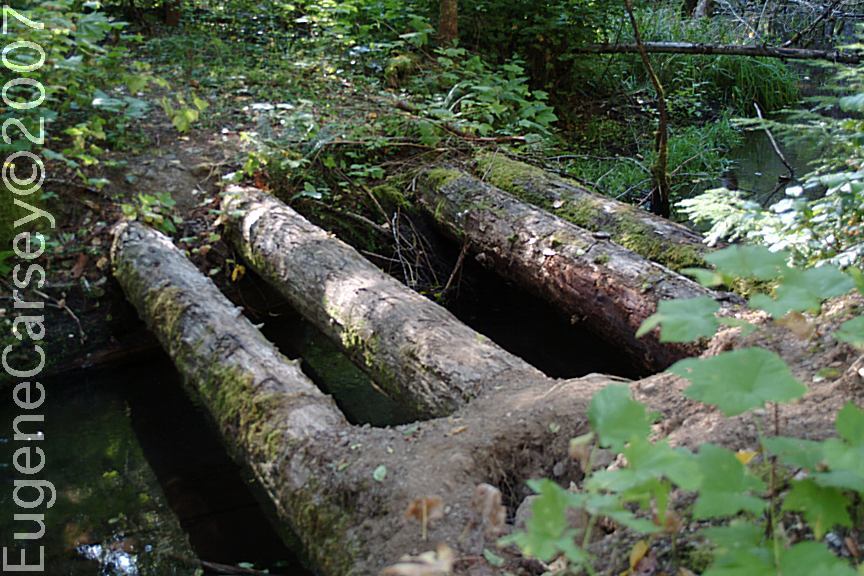
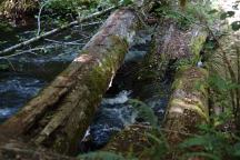
View from Log Bridge on Road#247
Log Vehicular Bridge on Road#247
Road overgrown with trees and brush
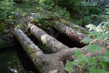
ROAD#247
LATITUDE: N 44°09.675
LONGITUDE: W 121°59.622
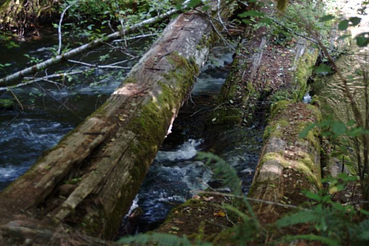
Log Vehicular Bridge...
This is historic but goes mostly unnoticed.
Log Vehicular Bridge on Road#220
ROAD#220
LATITUDE: N 44°10.304
LONGITUDE: W 122°02.215
From Hwy.224 near milepost 57.5
Turn on Road#220 and bridge about 1/4 mile
Another Historic Log Vehicular Bridge...
This bridge is mostly collapsed...

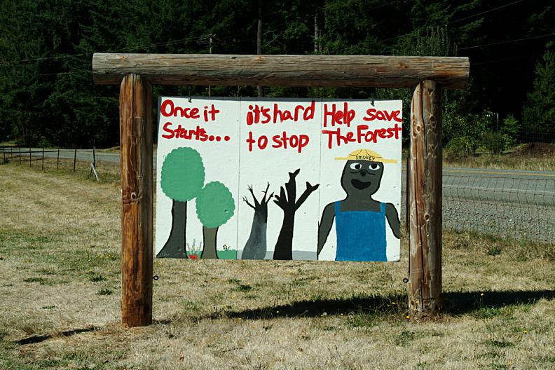
Fire Prevention Sign
Rest Area on Hwy.22 near Detroit, OR
IT IS YOUR RESPONSIBILITY TO
KNOW
WHAT FIRE RESTRICTIONS ARE IN EFFECT
Axe, shovel, and 5 gallons of water recommended
and might be required. Fire extinguisher and gloves
are a good idea.
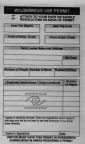
Wilderness Permit
Available at most of the Trailheads

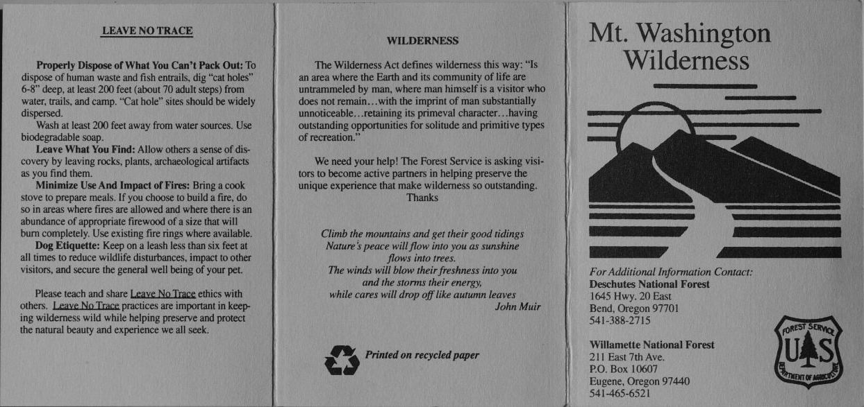
Mount Washington Wilderness
Rules and Regulations (Part 1)
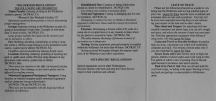
Mount Washington Wilderness
Rules and Regulations (Part 2)
WILDERNESS PERMITS REQUIRED
Memorial Day through Oct. 31
Permits are free and available at Trailheads
|