|
|


|
Free campgrounds and camping
|


|
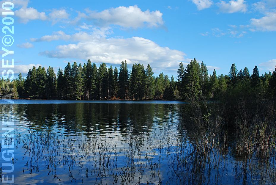
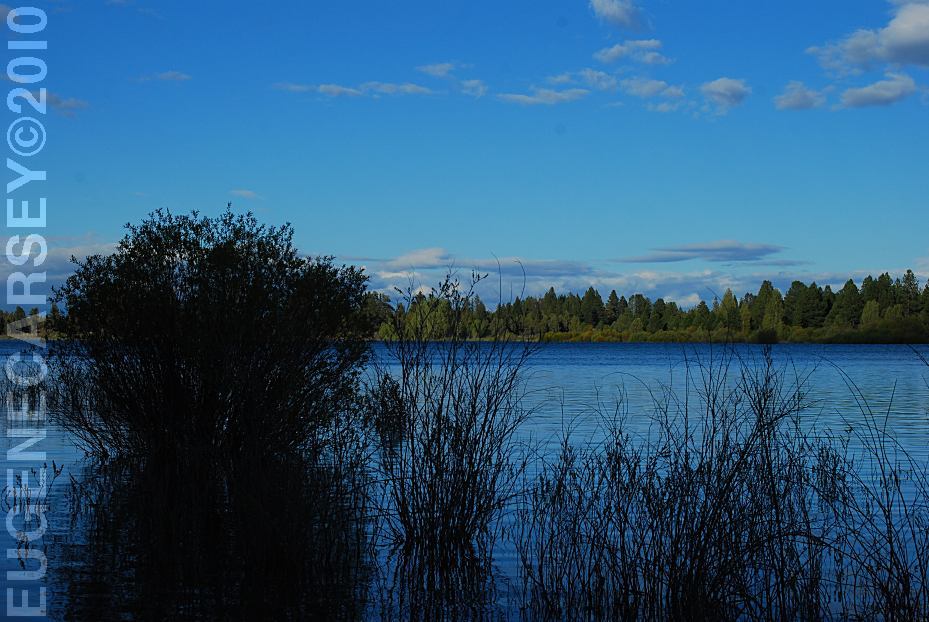
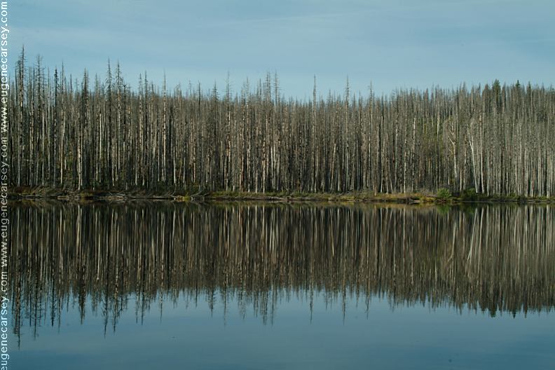
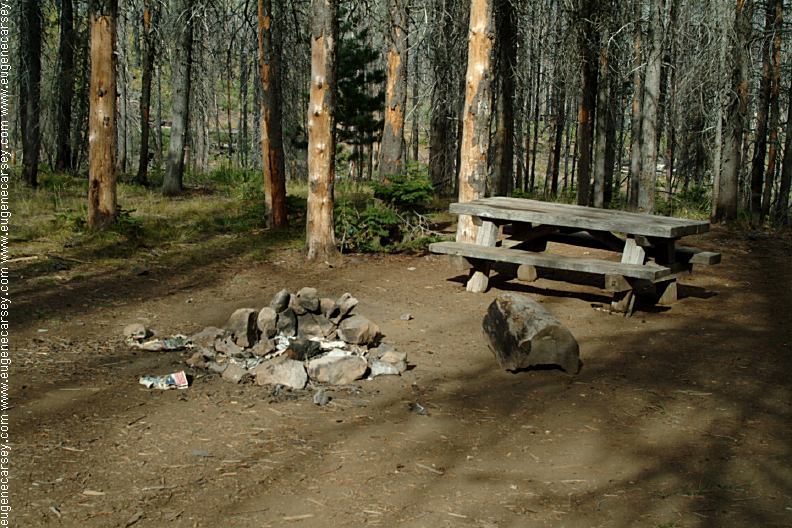
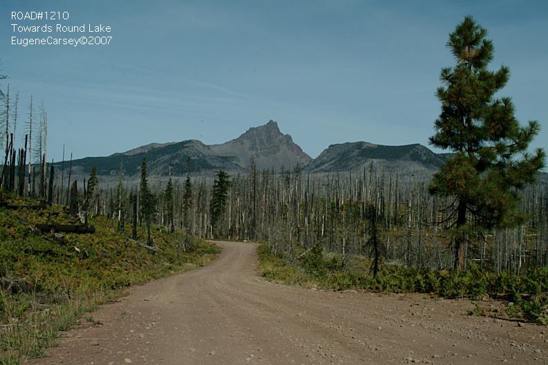
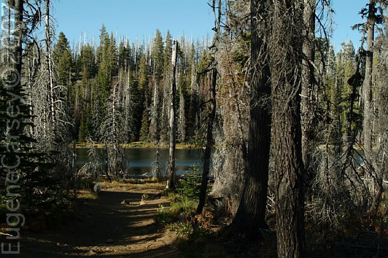
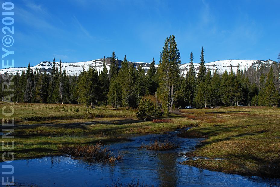
ROUND LAKE
There is a dispersed campsite on the other
side of
There are several possible dispersed camp areas |


|
PHOTO HERE
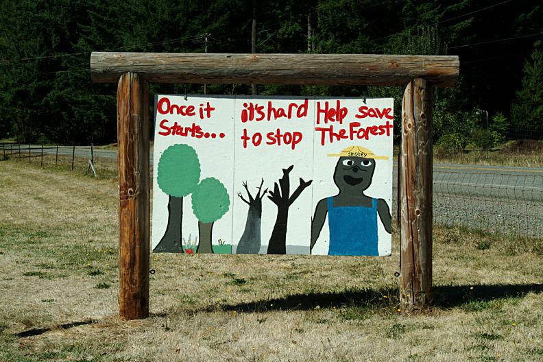
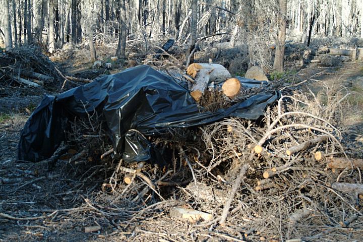
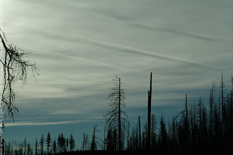
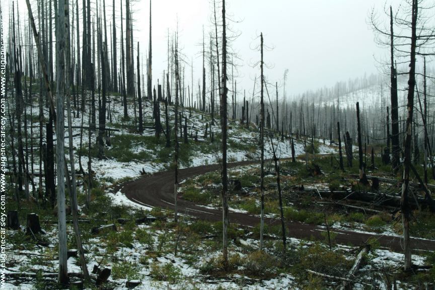
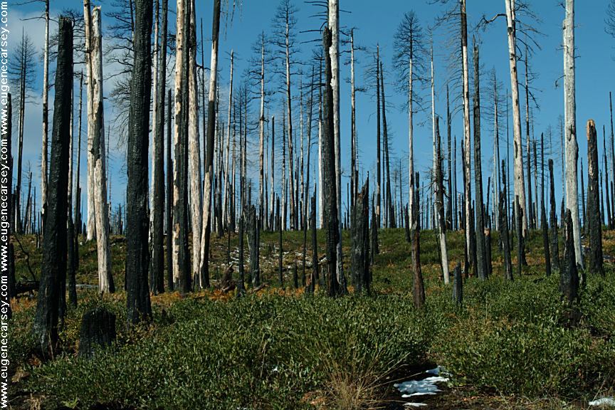
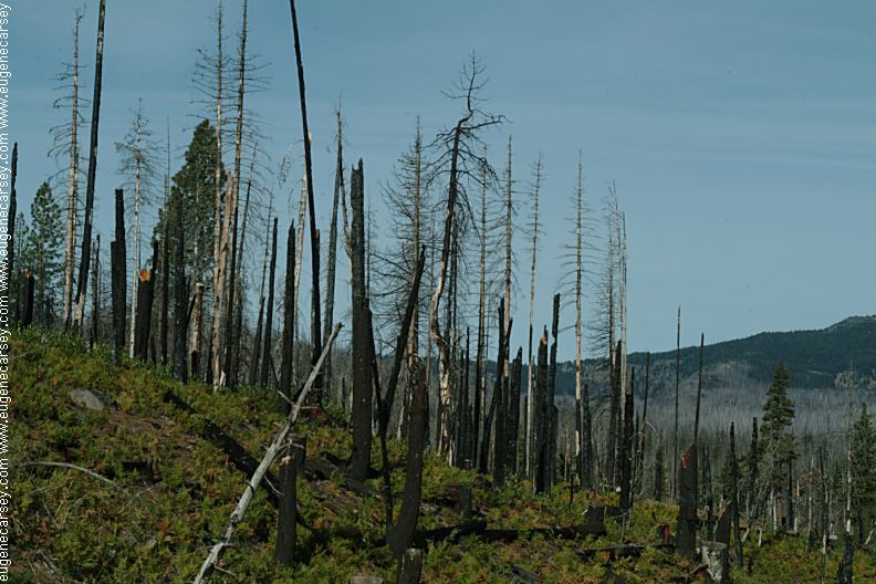
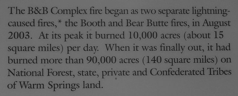
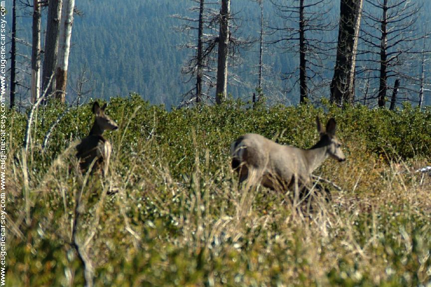
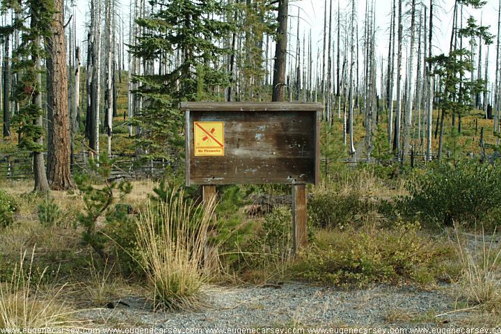
B & B Complex Fire started in August 2003.
|


|
DIRECTIONS: ROAD CONDITIONS: MAP |
|
PHOTO HERE PHOTO HERE
JACK LAKE ROAD
If you continued on Road#12/ Road#11
Also see: DETROIT LAKE
OREGON FREE CAMPGROUND MAP
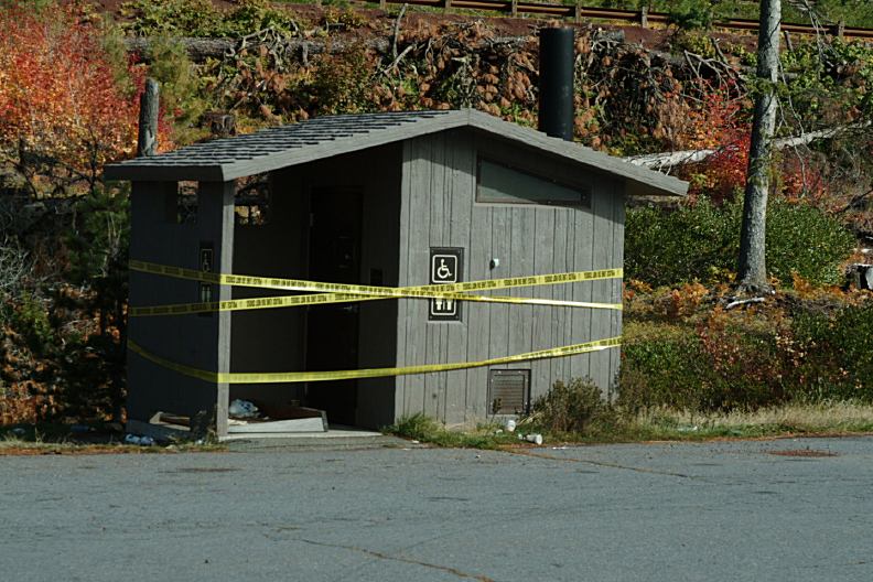
The nearest outhouse is at Suttle Lake |

|
ESTABLISHED CAMPGROUNDS:
SUTTLE LAKE CAMP SHERMAN
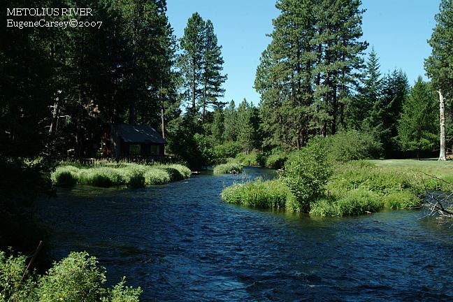
METOLIUS RIVER RECREATION AREA |
|
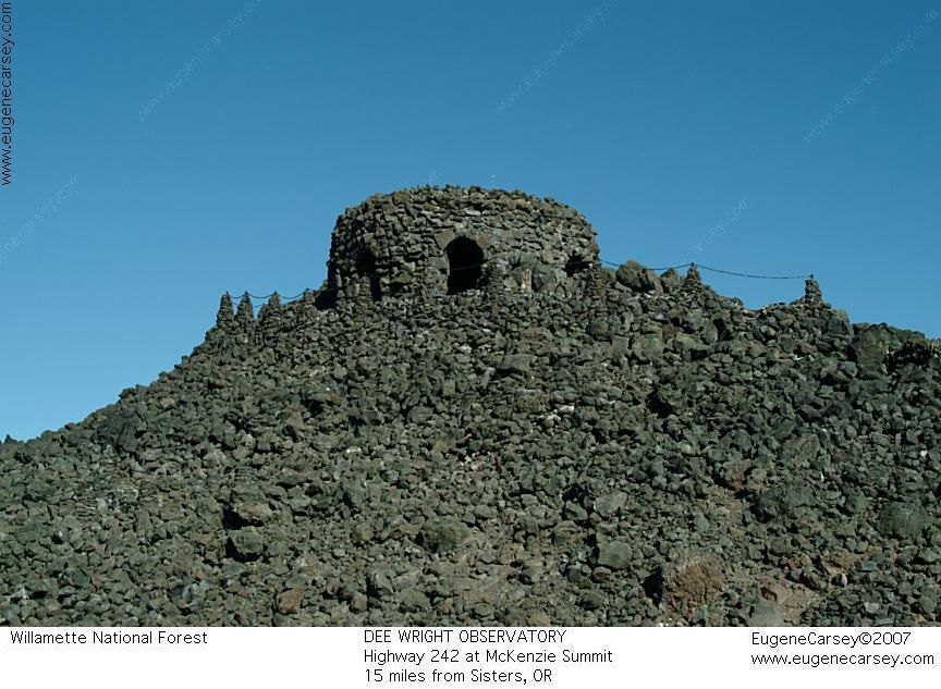
DEE WRIGHT
OBSERVATORY
IT IS YOUR RESPONSIBILITY TO
KNOW
Tumalo Reservoir is near Tumalo, OR
CAMPGROUND INDEX
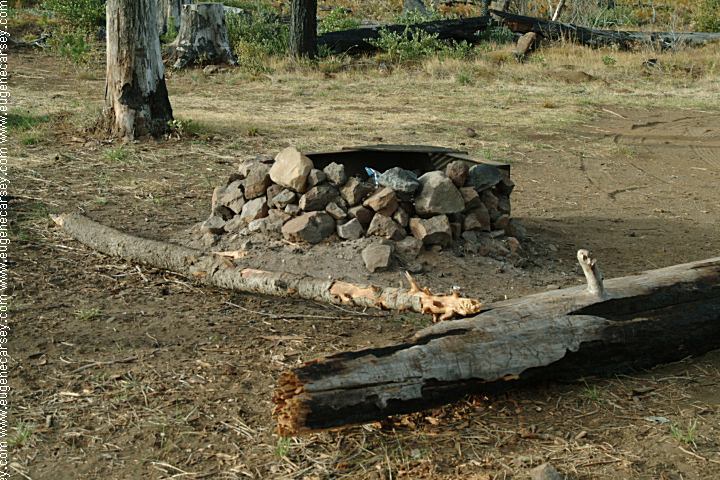
Camped here Sept.19, 2007 dispersedcampgrounds.html |