|
Free campgrounds and camping |
UPDATE: This page will be left on the
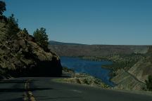
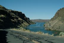
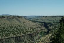
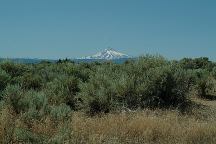
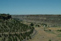
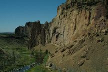
campground Lake Billy Chinook has some inspiring ESTABLISHED CAMPGROUNDS THE COVE PALISADES STATE PARK There are some more primitive camp areas On Lower Bridge Road are some "Perfect Views" METOLIUS RIVER RECREATION AREA
These free campgrounds have been
contracted to a private company and
are now fee areas. Kind of expensive.
listing, because of the great photos and
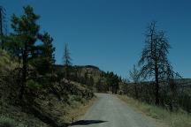
there are some campsites on Road#1180
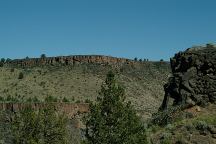
landscapes. From canyons and badlands,
with towering mountain peaks in the back-
ground, it is worth a visit.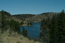
Road#64 towards Monty Campground
PERRY SOUTH CAMPGROUND $14.00
This was a free campground, now is expensive...
MONTY CAMPGROUND $12.00
6 miles of very rough road, to be charged
an outrageous amount... disappointment.
The Cove Palisades State Park has several
established campgrounds... probably showers...
Views and scenery will distort reality...
and spectacular photos near and around
Lake Billy Chinook.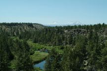
Lower Bridge Road (Near milepost 5)
and areas you can camp or overnight park.
Between milepost 2 and milepost 5 is BLM Land.
There are several spur roads. Get out of view
from the main road and nobody will know you
are there. These roads are dusty in the summer.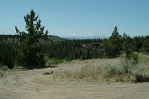
Lower Bridge Road (Near milepost 5)
Possible camp area...HAYSTACK
RESERVOIR
Established campgrounds that are free.
A couple miles east...
There are no free campgrounds anymore...
ESTABLISHED CAMPGROUNDS:
ABBOT CREEK CAMPGROUND (Burned)
ALLEN SPRING CAMPGROUND $10.00
ALLINGHAM CAMPGROUND Fee Area
CAMP SHERMAN Fee Area
CANDLE CREEK CAMPGROUND $10.00
CANYON CREEK CAMPGROUND $10.00
GORGE CAMPGROUND Fee Area
JACK CREEK CAMPGROUND $10.00
LOWER BRIDGE CAMPGROUND $14.00
PINE REST CAMPGROUND Fee Area
PIONEER FORD CAMPGROUND Fee Area
RIVERSIDE CAMPGROUND Fee Area
SHEEP SPRINGS HORSE CAMP Fee Area
SMILING RIVER CAMPGROUND Fee Area
DAY USE AREAS:
CAMP SHERMAN FISH VIEWING PLATFORM
Located near the Camp Sherman Store
HEAD OF THE METOLIUS
1/4 mile walk
WIZARD FALLS FISH HATCHERY
LOWER BRIDGE PICNIC AREA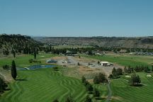
Crooked River Gorge Golf Coarse
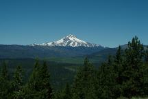
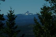
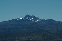
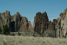
DIRECTIONS: MAP It is recommended to buy a Forest Service map Showers at Smith Rock State Park The story goes that Smith Rock was named For incredible views of nine mountain peaks,
From Madras
From Redmond
From Sisters / Metolius
These are our personal hand drawn maps
Not guaranteed for accuracy
Ochoco National Forest and
Crooked River National Grassland.
Cost $6.00
Bivouac Area has good showers
Non-Camper Shower $2.00
Plenty of hot water...
after a soldier that fell to his death.
go 7 miles north on Hwy.97 from Terrebonne
and turn left/west on Monroe Lane. Take
Monroe Lane about 2 miles... maybe there
are 10 mountain peaks???
Also see: OREGON FREE CAMPGROUND MAP CAMPGROUND INDEX dispersedcampgrounds.com
HAYSTACK
RESERVOIR
Also see: JACK
LAKE ROAD
Also see: NORTH
SHORE ROAD
Also see: OCHOCO
NF / COTTONWOOD
Also see: OCHOCO
NF / ROAD#16
Also see: OCHOCO
NF / ROAD#27
Also see: SALT
CREEK ROAD
Google custom map by Ian with most of the
free campgrounds in Oregon.
Complete free campground listing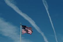
Chemtrails of the USA
Free campgrounds and camping
OREGON CAMPGROUND DIRECTORY
LAKE BILLY CHINOOK


