|
|


|
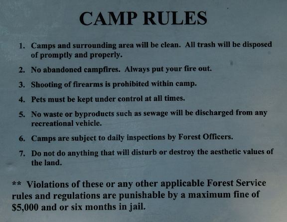
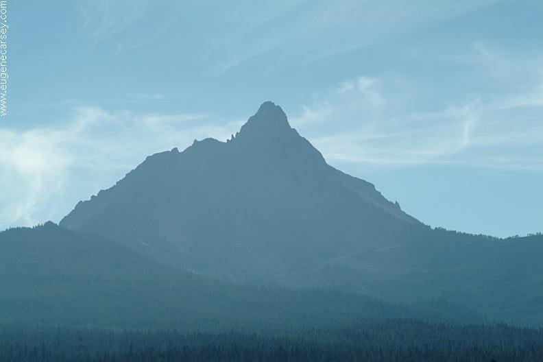
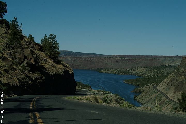
Free campgrounds and camping
|
|
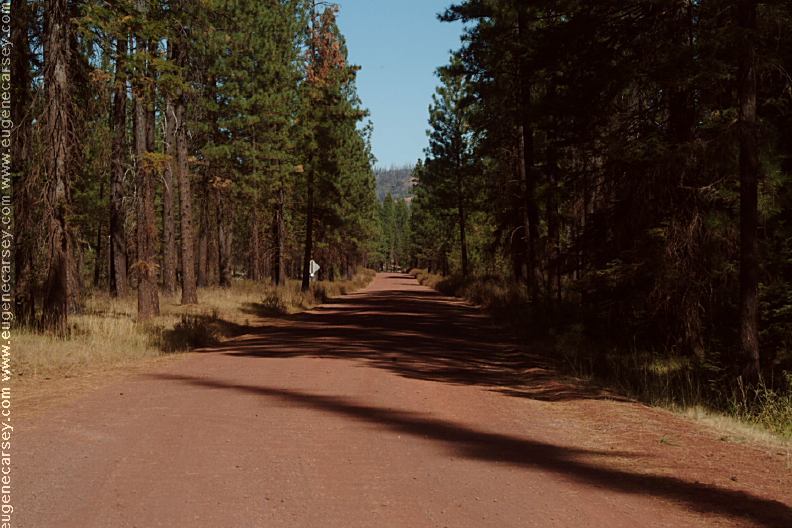
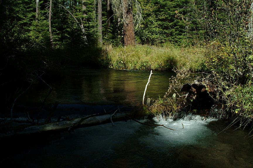
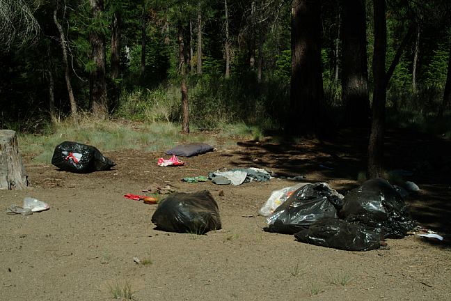
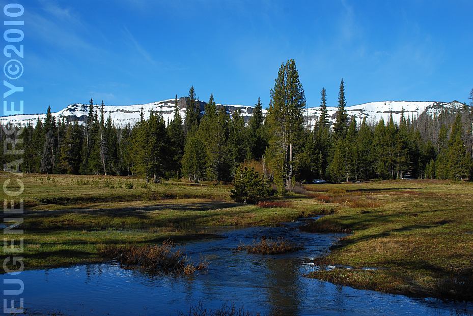
PHOTO HERE PHOTO HERE LAKE CREEK DISPERSED CAMP
PHOTO HERE
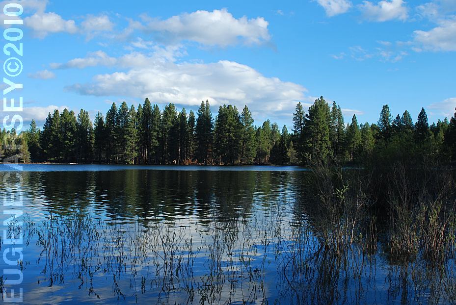
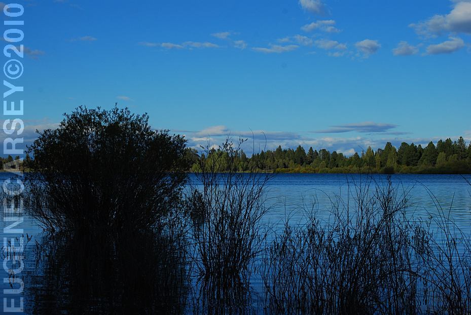
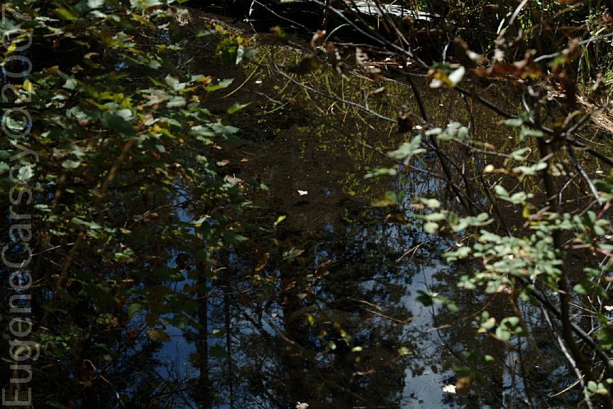
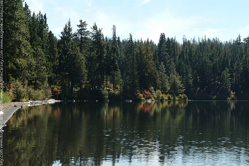
DISPERSED CAMPSITE ON LAKE CREEK |


|
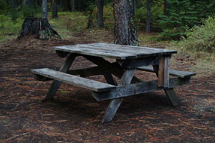
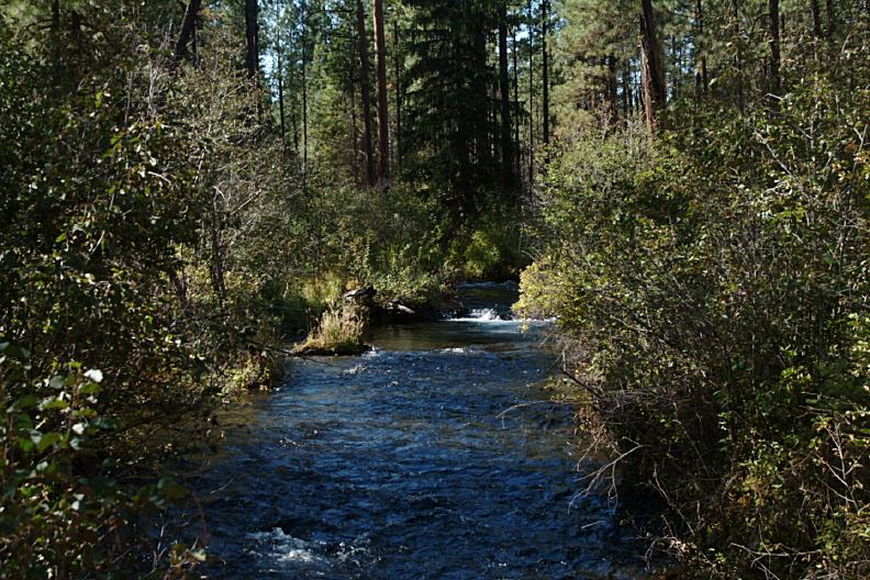
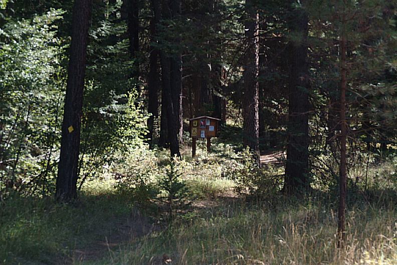
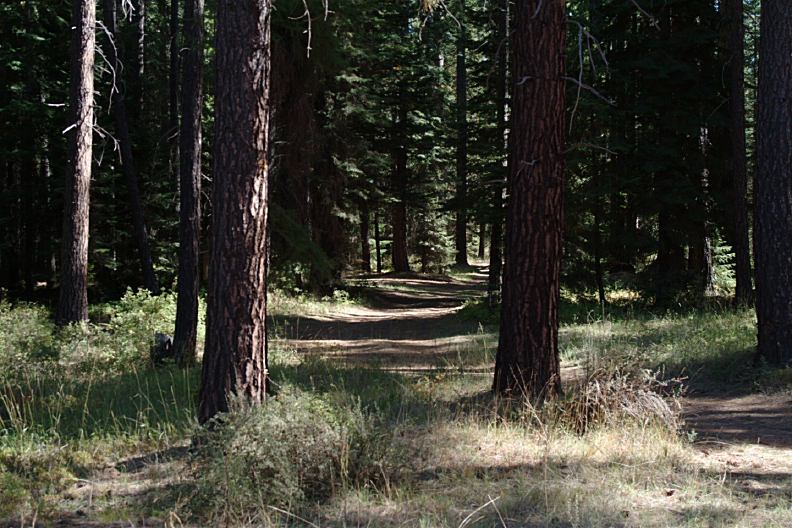
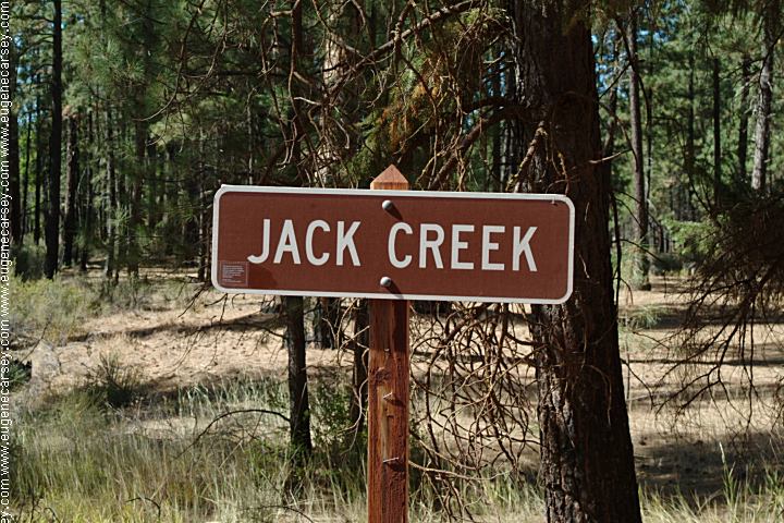
JACK CREEK PRIMITIVE CAMP |
|
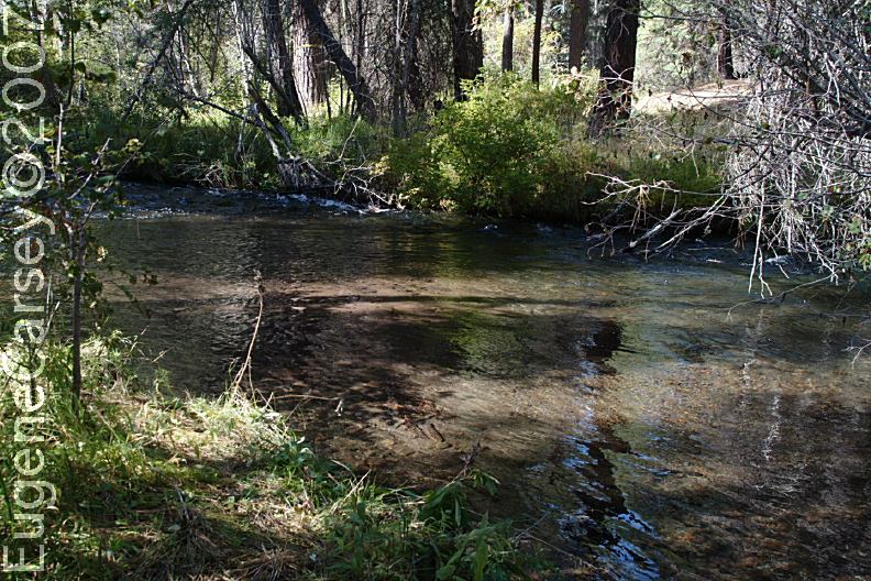
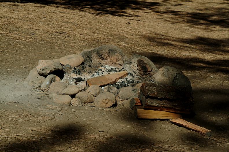
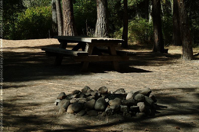
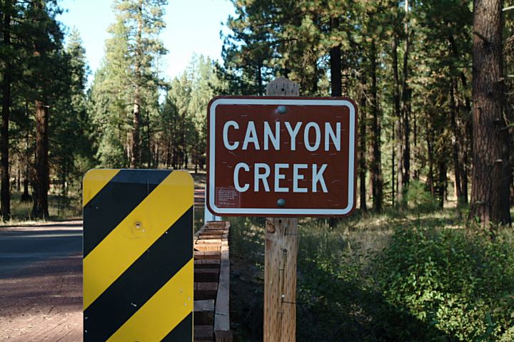
CANYON CREEK CAMPGROUND |


|
MUSHROOM CAMP
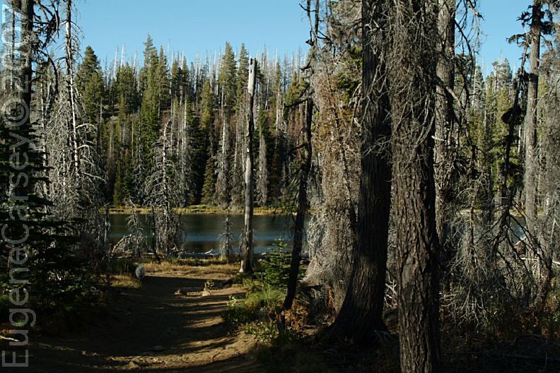
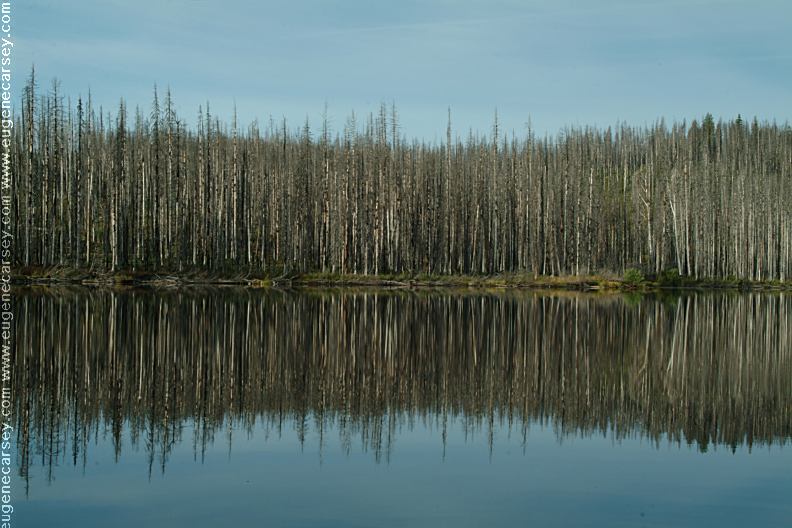
PHOTO HERE PHOTO HERE PHOTO HERE We photo and GPS the locations of any
|


|
DIRECTIONS: ROAD CONDITIONS: MAP
JACK LAKE (Fee Required)
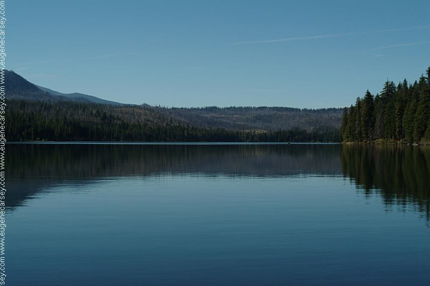
ROUND LAKE |

|
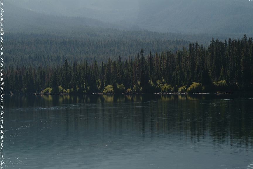
SUTTLE LAKE
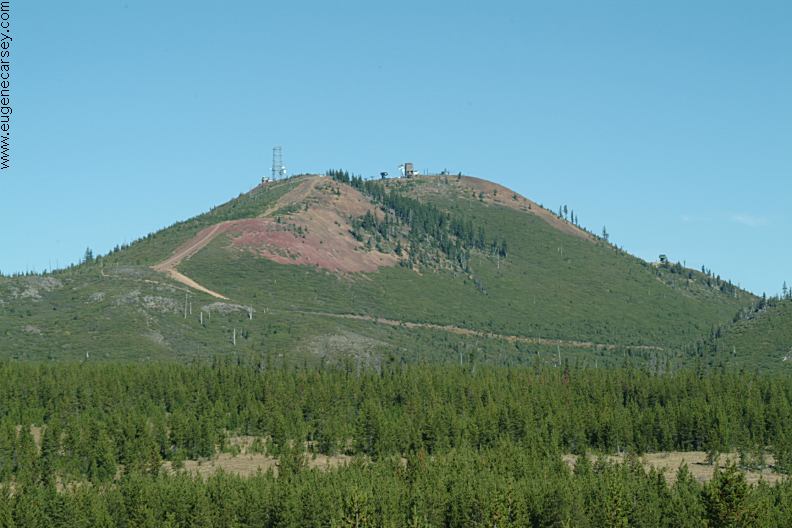
HOODOO SKI BOWL
If you continued on Road#12/ Road#11
Also see: DETROIT LAKE
OREGON FREE CAMPGROUND MAP
|


|
ESTABLISHED CAMPGROUNDS
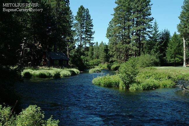
METOLIUS RIVER RECREATION AREA |
|
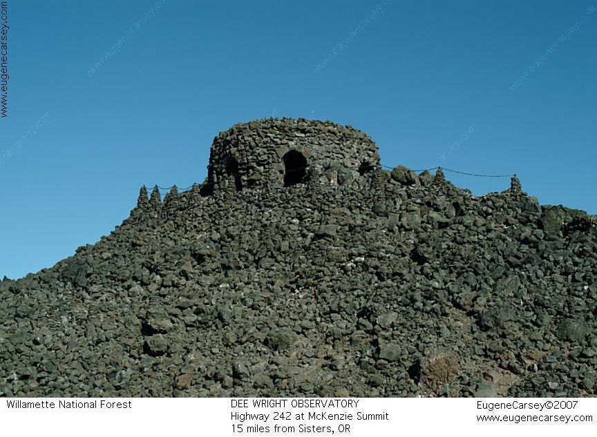
DEE WRIGHT
OBSERVATORY
Tumalo Reservoir is near Tumalo, OR
CAMPGROUND INDEX
dispersedcampgrounds.com |