|
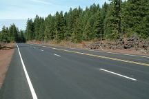
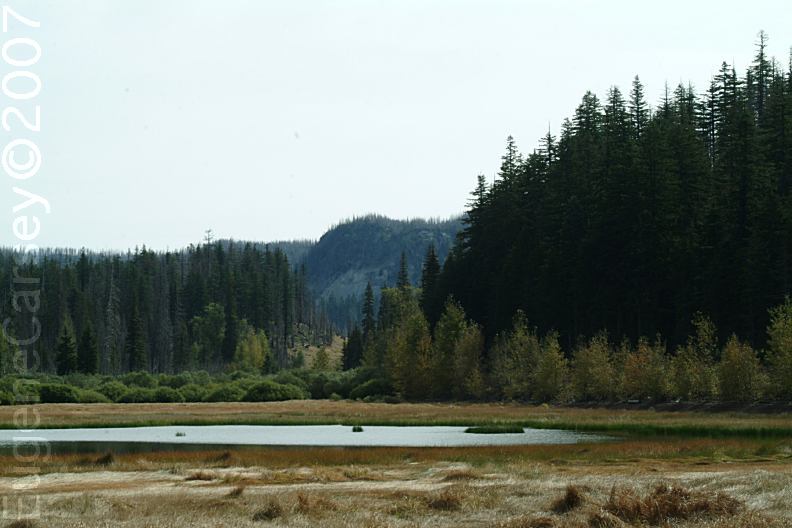
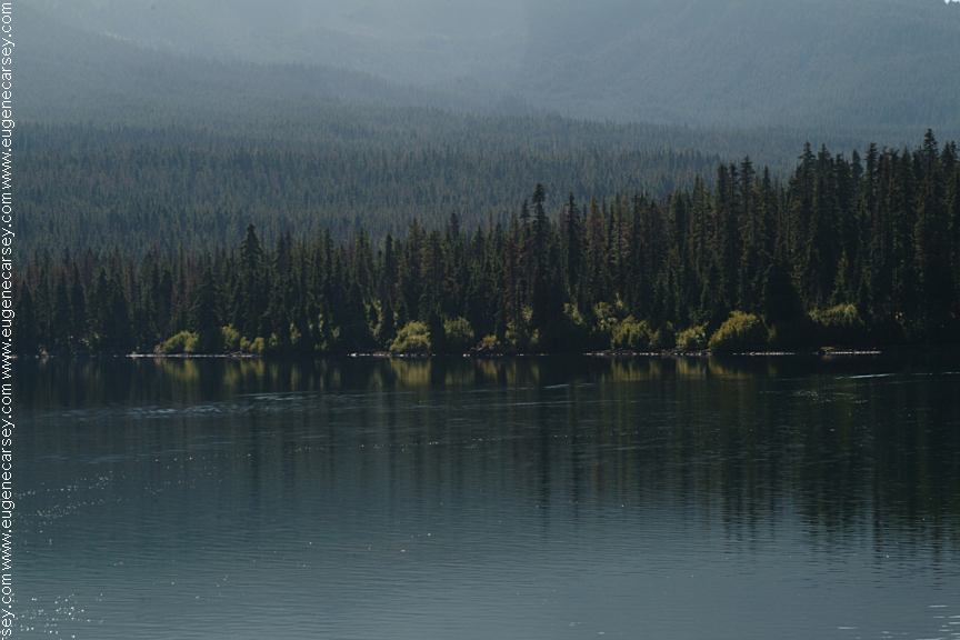
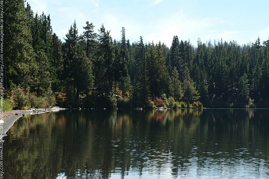
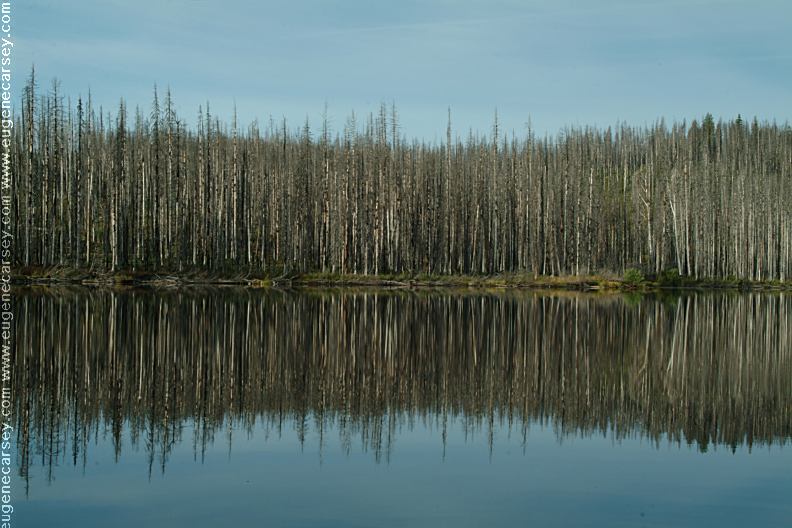
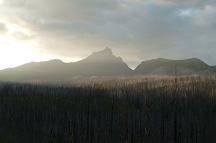
Highway 20 viewed from Lost Lake
DIRECTIONS:
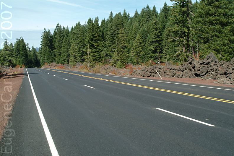
Hwy 20 / 126 between milepost 77 - xx
Turn on Road#835 at Lost Lake
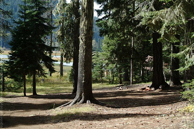
Road#835 is 3/4 mile with dispersed campsites
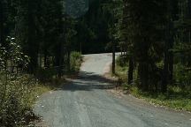
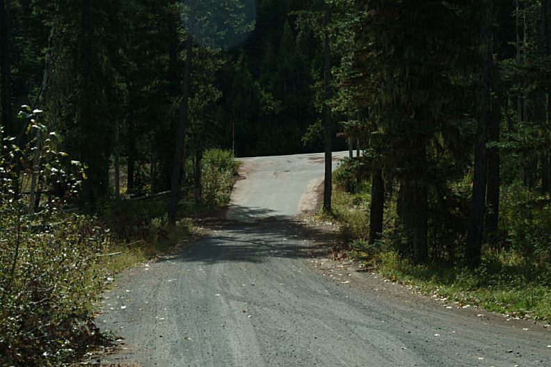
Road#835 at Junction of Highway 20

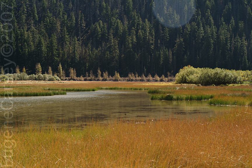
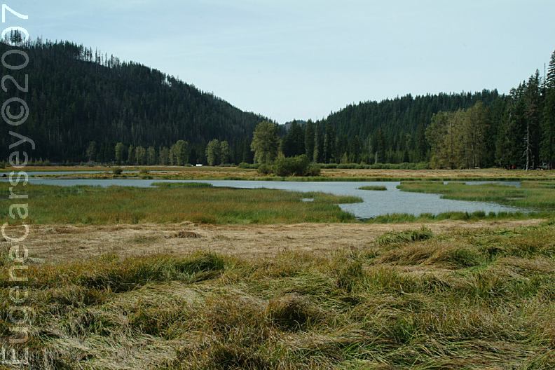
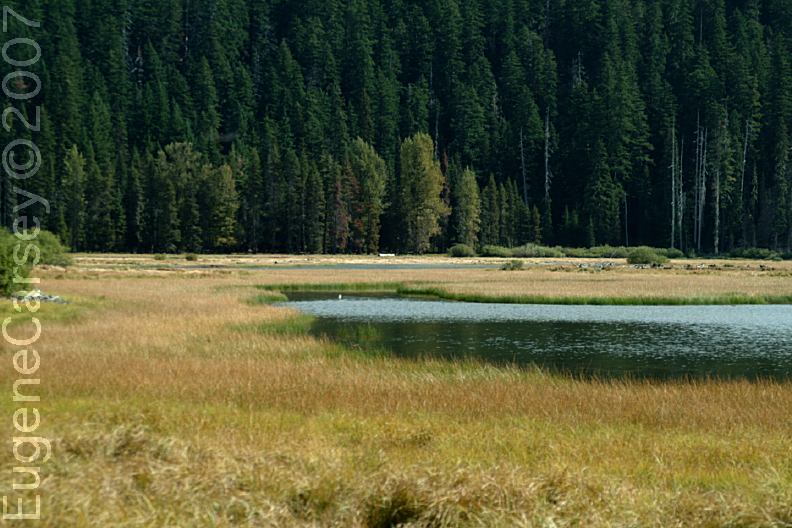
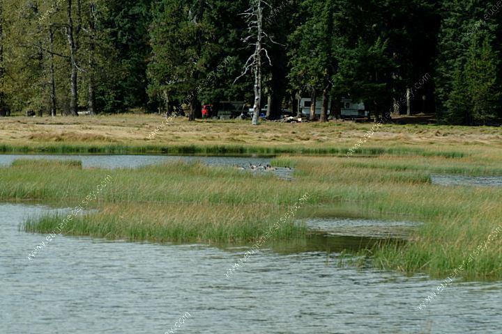
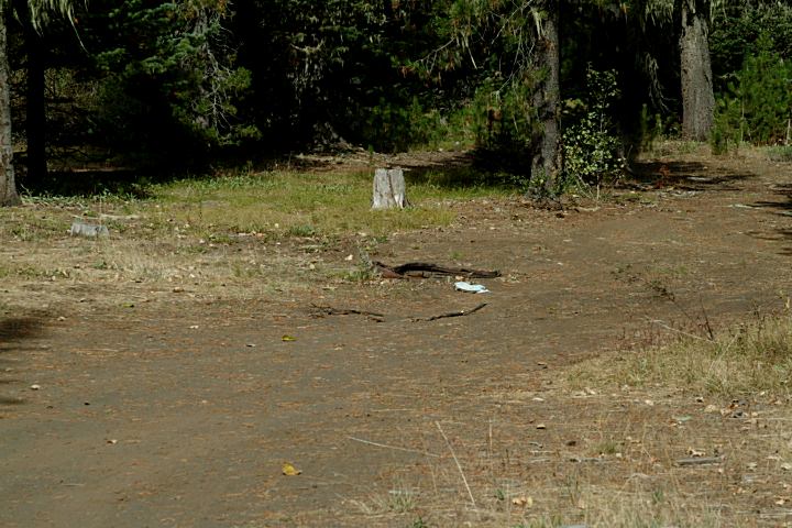
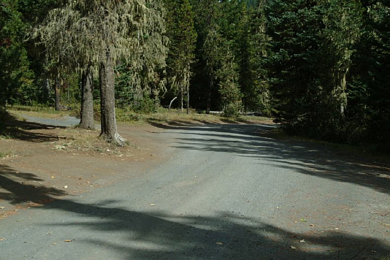
Road#835 around Lost Lake
ROAD CONDITIONS:
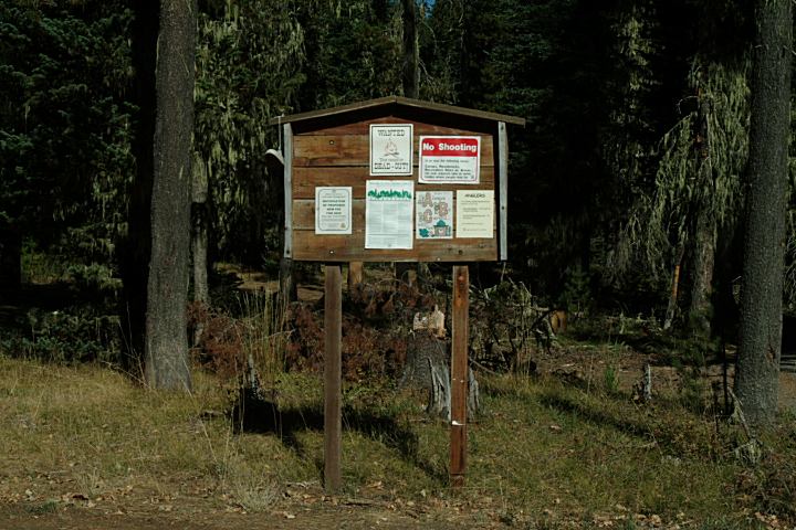
Road#835 is a narrow dirt road.
See photos...
MAP
These are our personal hand drawn maps
Not guaranteed for accuracy
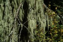
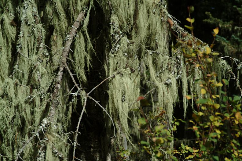
Moss hanging from tree branches at Lost Lake
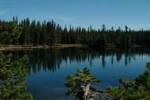
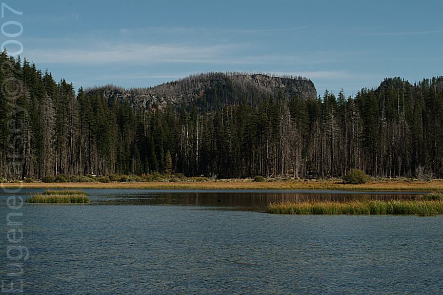
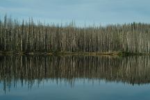
Big Lake near Hoodoo Ski Bowl
Big Lake near Hoodoo Ski Bowl
Hoodoo Ski Bowl (September 26, 2007)
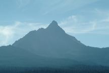
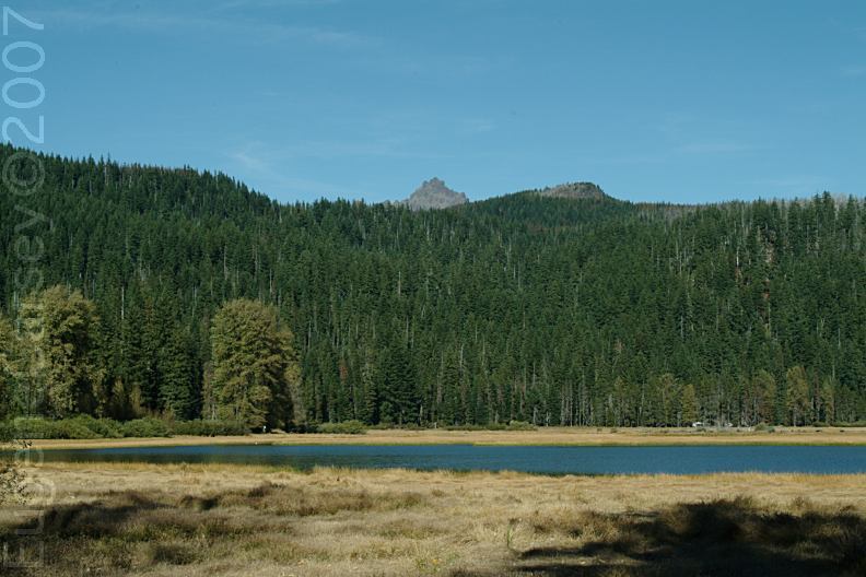
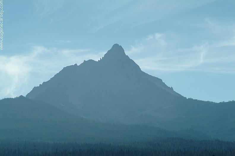
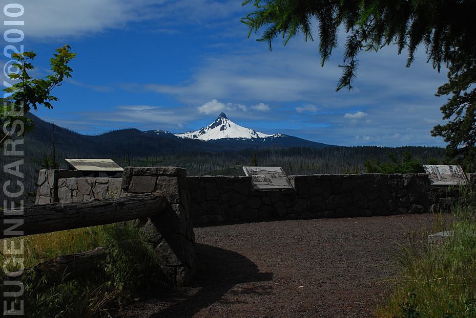
Mount Washington from Hoodoo Ski Bowl
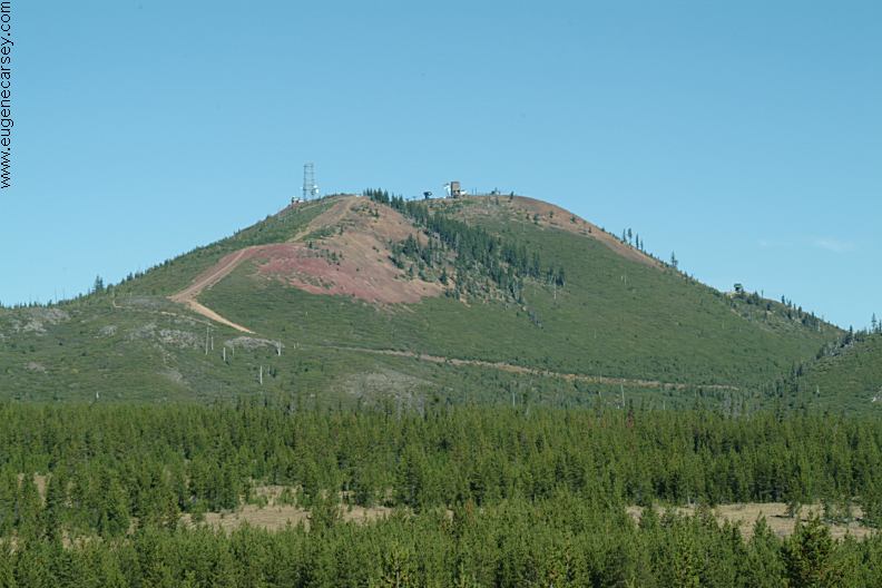
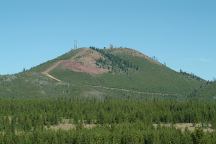
HOODOO SKI BOWL
Hoodoo Ski bowl is 3 miles east from Lost Lake
on Highway 20 towards Sisters, OR. Big Lake
Campground is a fee area, but there are several
dispersed campsites in the neighborhood. Water
and garbage service...
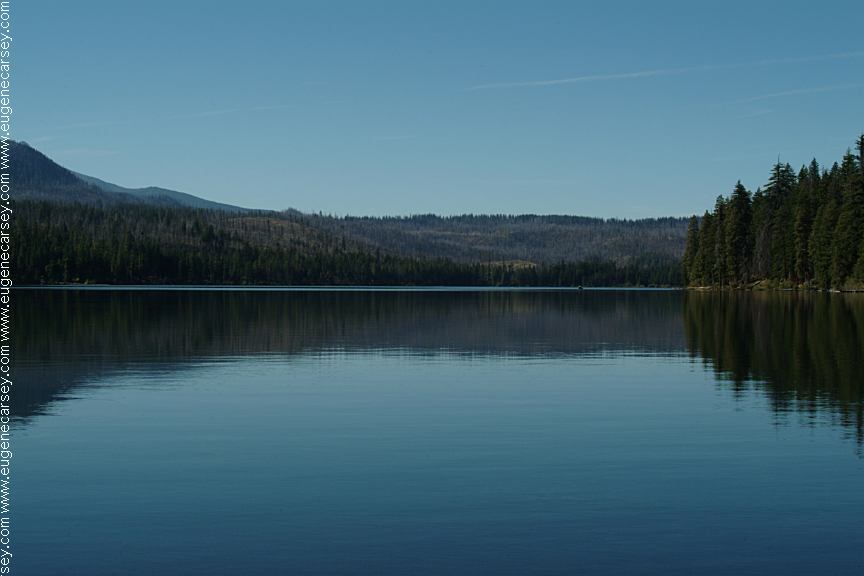
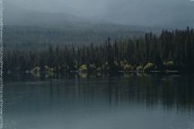
Suttle Lake on Hwy.20 towards Sisters, OR
Suttle Lake on Hwy.20 towards Sisters, OR
SUTTLE LAKE
There are a couple campgrounds at Suttle Lake.
Campgrounds charge a fee...
JACK LAKE
ROAD
East(towards Sisters) from Lost Lake Campground
There is a great campsite is about 3/4 mile from Hwy.20.
There is a little sign that says Lake Creek and you
will see the firerings and camp area on the right side.
Lake Creek is right at your doorstep.
Mountain views
Road#1210 towards Round Lake
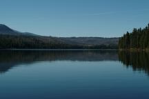
Round Lake
ROUND LAKE
From Hwy.20 take Jack Lake Road about a mile
Turn on Road#1210 and Round Lake is 5 1/2 miles

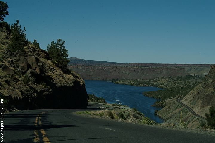
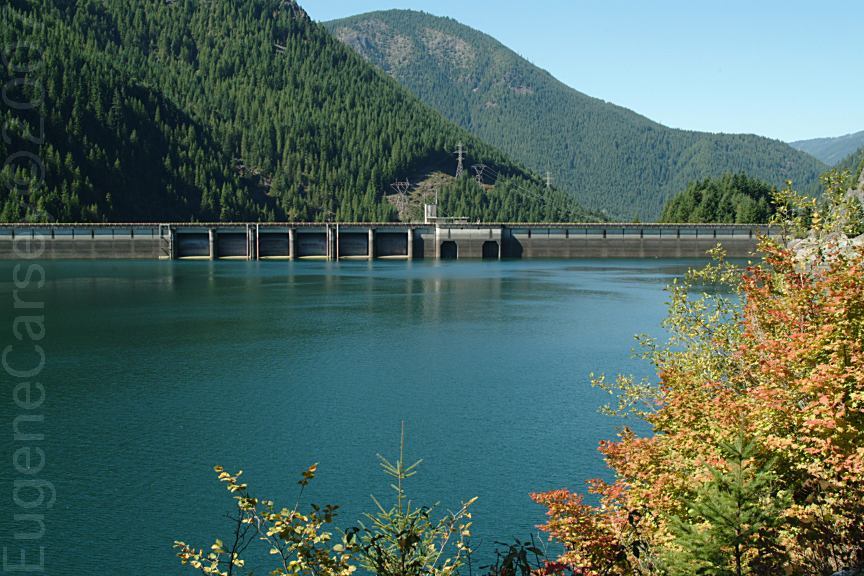
Lake Billy Chinook
If you continued on Road#12/ Road#11
it is possible to get to Lake Billy Chinook
via the back roads. There are incredible
views, bring a camera...
LAKE BILLY CHINOOK
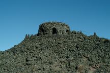
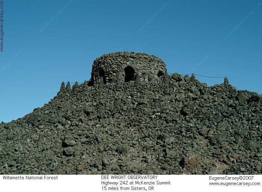
Dee Wright Observatory
DEE WRIGHT
OBSERVATORY
Mystical and magical are terms used to describe
Dee Wright Observatory near McKenzie Summit.
Hwy.242 about 15 miles from Sisters, OR
|