|
|
|
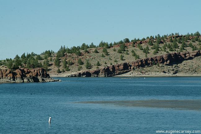
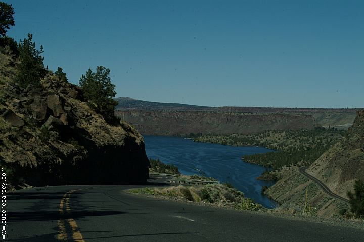
Haystack Reservoir is located between
Haystack Reservoir is mostly known for
WEST SHORE CAMPGROUND
SOUTH SHORE CAMPGROUND ESTABLISHED CAMPGROUNDS 14 Day Camping Limit / Per 30 Days
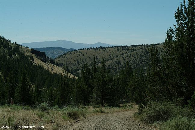
We usually camp at more primitive areas, More campsites at Henderson Flat OHV Area
JULIUS and SARAH McCOIN ORCHARD THE COVE PALISADES STATE PARK
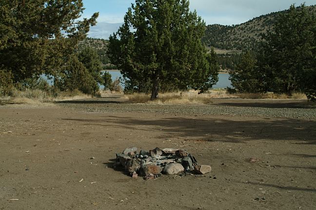
There are some more primitive camp areas
On Lower Bridge Road are some perfect views
MORE ESTABLISHED CAMPGROUNDS
SMITH ROCK STATE PARK
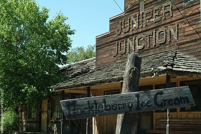
The Juniper Junction Store that was famous for PHOTO HERE |
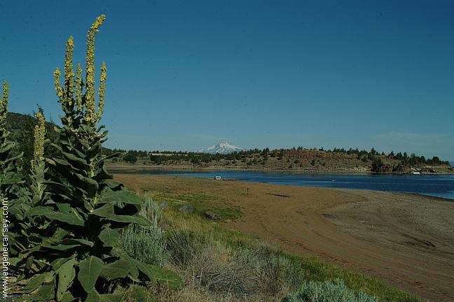

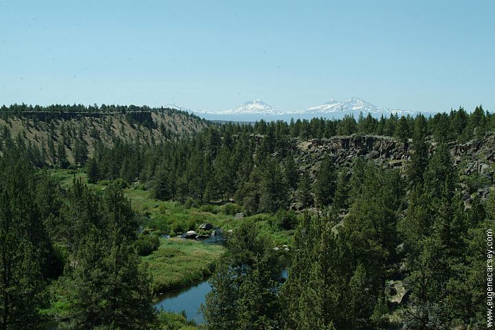
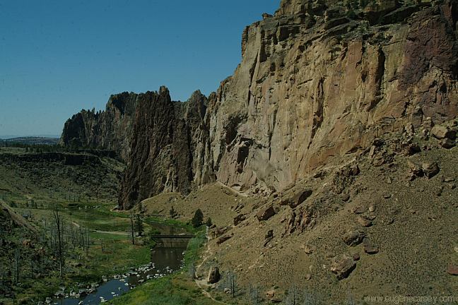
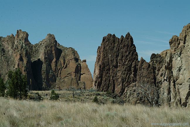
DIRECTIONS: From Madras take Hwy.97 South From Prineville... see map. From Redmond via back roads MILEAGE CHART: Redmond 19 miles It is recommended to buy a Forest Service map For incredible views of nine mountain peaks,
From Redmond take Hwy.97 North
At milepost 105 turn right on Jericho Lane
Turn right on Bear Drive
At milepost 105 turn left on Jericho Lane
Turn right on Bear Drive
Take Hwy.97 North
Just past Peter Skene Ogdan SP
Turn right on Culver Highway
About 4 miles turn right on Norris Lane
Stay left when the road splits(3 miles)
About 3 more miles to Haystack Reservoir.
From Jct. of Hwy.97 and Jericho Lane
Madras
7 miles
Ochoco National Forest and
Crooked River National Grassland.
Cost $6.00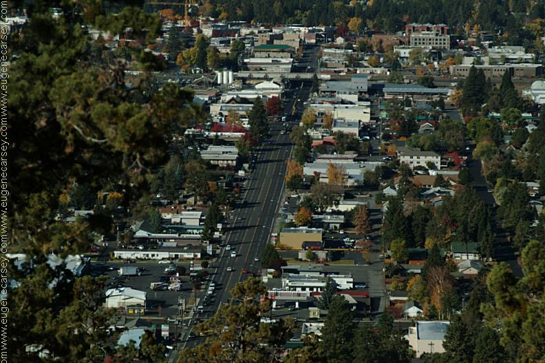
Bend, OR
go 2 miles south on Hwy.97 and turn
right/west on Monroe Lane. Take Monroe
Lane about 2 miles... maybe there are 9-10
mountain peaks???
Showers at Smith Rock State Park Showers at Ochoco Lake County Park Showers at Prineville Reservoir State Park Also see: BROADWAY LAVA FIELD OREGON FREE CAMPGROUND MAP CHEMTRAILS
CAMPGROUND INDEX Camped here July 18, 2006 dispersedcampgrounds.com
Bivouac Area has good showers
Non-Camper Shower $2.00
Plenty of hot water...
Highway 26 / Milepost 26
Non-Camper Shower $3.50
$2.00 per person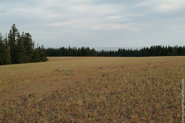
Broadway Lava Field
Also see: LAKE
BILLY CHINOOK
Also see: OCHOCO
NF / COTTONWOOD
Also see: OCHOCO
NF / ROAD#16
Also see: OCHOCO
NF / ROAD#27
Also see: OLD
HIGHWAY 20
Also see: PINE MOUNTAIN OBSERVATORY
Also see: PRINEVILLE
/ NORTH SHORE
Also see: PRINEVILLE
/ SALT CREEK
Also see: SKULL HOLLOW
Google Custom Map by Ian
Google custom map by Ian with most of the
free campgrounds in Oregon.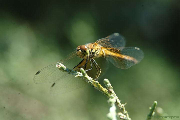
Dragon Fly at Smith Rock
Prehistoric looking bird sounded like
something from the dinosaur era.
(South Shore Campground)
Crash and Burned
Toy Car on Road#9610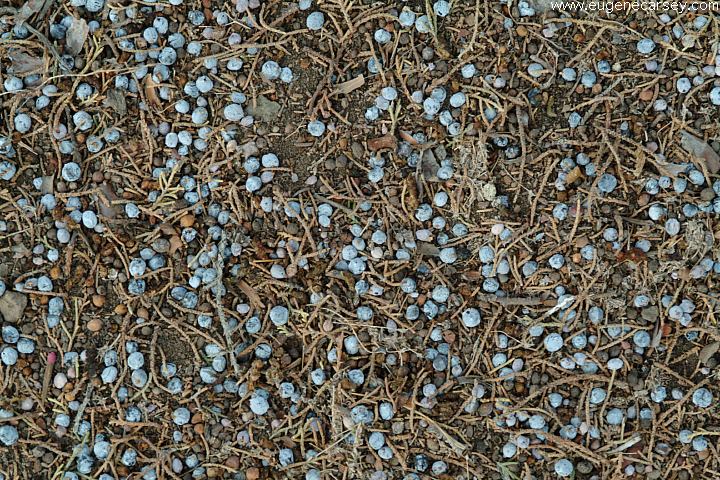
Juniper berries on ground
Don't get a flat tire... nails are from burning
pallets and demolition materials.
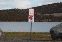
Slime on Haystack Reservoir
Slime on Haystack Reservoir
Chemtrails of the USA
What are all those funny clouds in the sky?
Every day from morning to night, continuous
aerial spraying.
Complete free campground listing
Camped here Oct. 16, 2006
A bald eagle soared overhead....
Camped here Sept 29, 2007
Camped here Oct. 29, 2007
Car was covered with ice in the morning.
There were no other campers around.
Camped here January 19, 2008
Camped here February 09, 2008
The reservoir was frozen and snow on the hillsides.
Camped here Feb. xx, 2008
Camped here March 08, 2008
Camped here May 01, 2008

www.eugenecarsey.com
Free campgrounds and camping
OREGON CAMPGROUND DIRECTORY
OCHOCO NATIONAL FOREST
HAYSTACK RESERVOIR