|
|


|
Free camping and campgrounds.
|
|
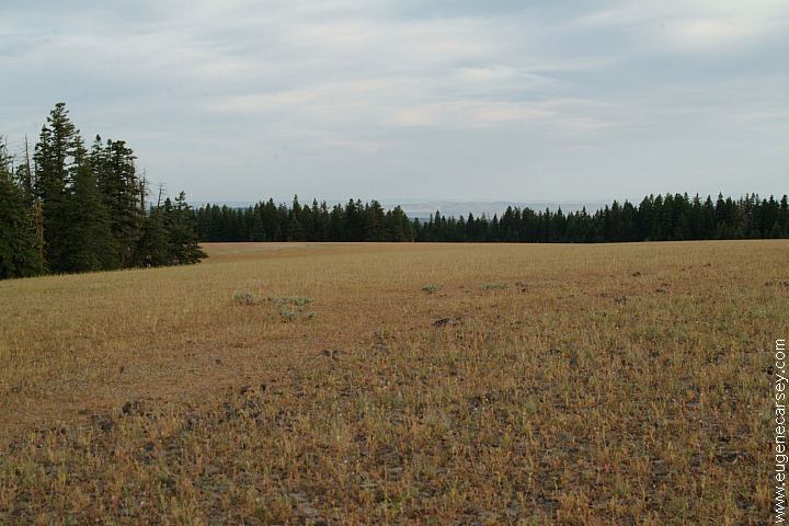
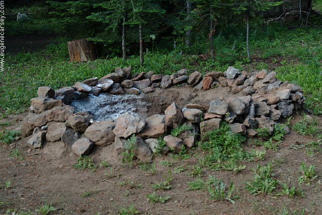
The locals know this area as Peterson Lava
There are several free campgrounds in ESTABLISHED CAMPGROUNDS(No Fees) MORE ESTABLISHED CAMPGROUNDS(Fee Areas) |
DIRECTIONS: ROAD CONDITIONS: It is recommended to buy a Forest Service map
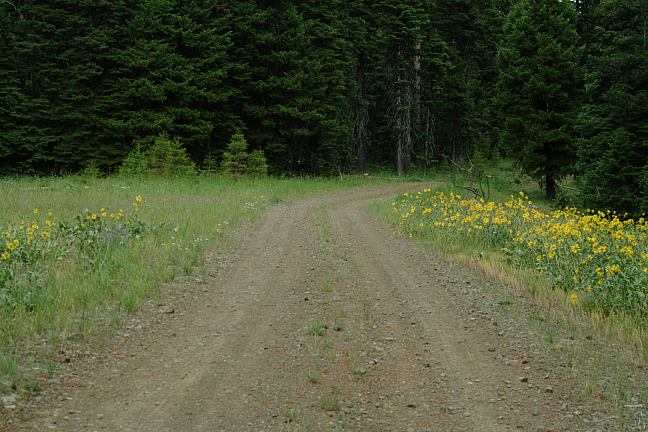
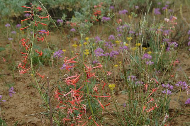
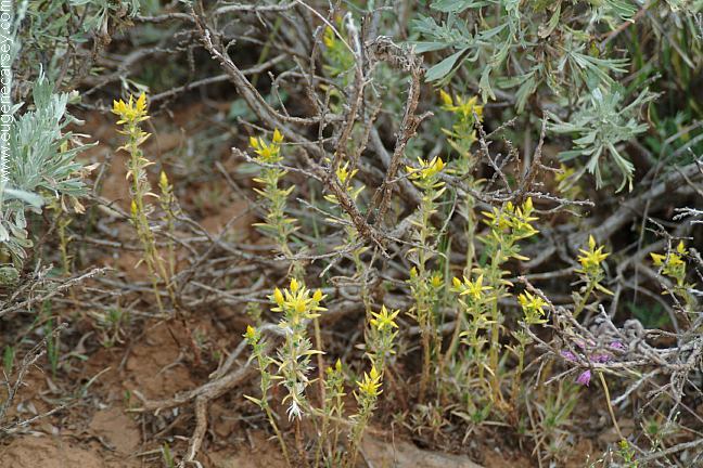
Flowers near Broadway Lava Fields
Flowers near Broadway Lava Fields
From Prineville...
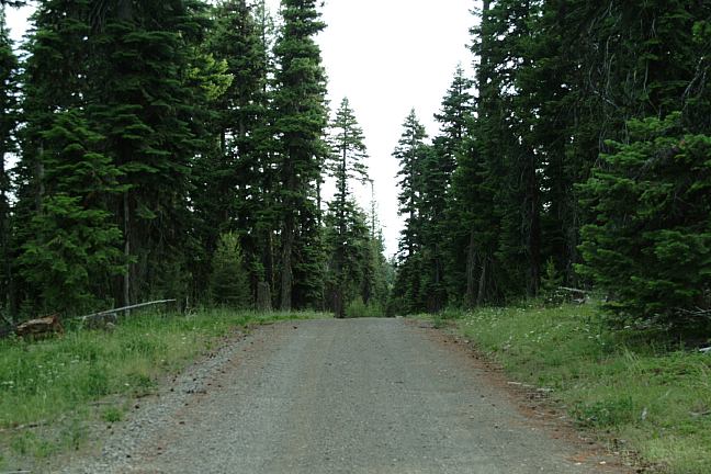
Narrow dirt roads...
Not recommended for RVs
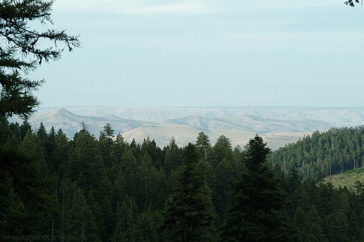
Ochoco National Forest and
Crooked River National Grassland.
Cost $6.00
Showers at Ochoco Lake County Park Showers at Prineville Reservoir State Park Also see: MAYFIELD POND OREGON FREE CAMPGROUND MAP SHOE TREE MAYFIELD
POND RECREATION AREA ROBERTS
BAY RECREATION AREA LOWER
CROOKED RIVER NORTH
SHORE ROAD MILLICAN
VALLEY OHV AREA CHRISTMAS
VALLEY SAND DUNES GREEN
MOUNTAIN CAMPGROUND CHRISTMAS
VALLEY SAND DUNES EAST FORT ROCK OHV TRAIL SYSTEM CAMPGROUND INDEX Camped here July 18, 2006 dispersedcampgrounds.com
Highway 26 / Milepost 26
Non-Camper Shower $3.50
$2.00 per person
Also see: MILLICAN
OHV
Also see: NORTH
SHORE ROAD
Also see: OCHOCO NF /
COTTONWOOD
Also see: OCHOCO NF /
ROAD#16
Also see: OCHOCO
NF / ROAD#27
Also see: PINE MOUNTAIN OBSERVATORY
Also see: SALT
CREEK ROAD
Also see: STEENS
MOUNTAIN
Also see: SUCCOR
CREEK
Google Custom Map by Ian
Google custom map by Ian with most of the
free campgrounds in Oregon.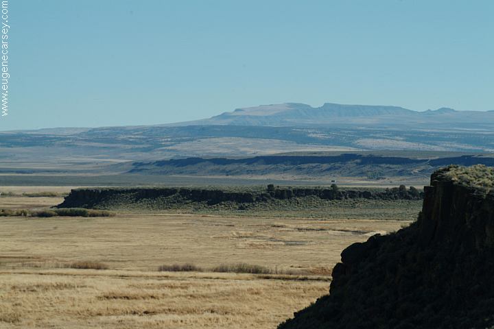
Steens Mountain in the distance
From Hwy.205 at Buena Vista Viewpoint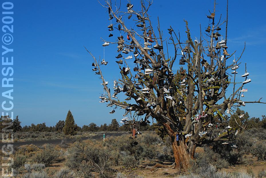
Tree covered with shoes on SW Reservoir Road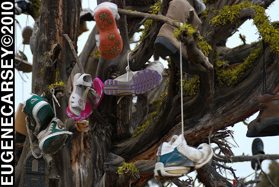
Tree covered with shoes on SW Reservoir Road
LATITUDE: N 44°04.484
LONGITUDE: W 120°56.963
SW Reservoir Road / MP 10
3 1/2 miles past Alfalfa Store
Near Willard Road and Alfalfa Curves
We understand that it is artwork,
but it is also a good way to dispose of
your garbage... like throwing old tires
out in the desert and painting them
different colors, except that the tree
will eventually be cut down.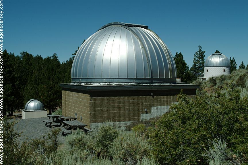
Pine Mountain Observatory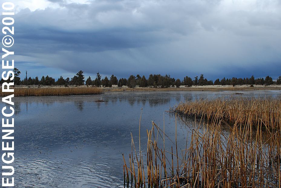
Mayfield Pond
LATITUDE: N 44°04.980
LONGITUDE: W 121°07.830
Elevation: 3290'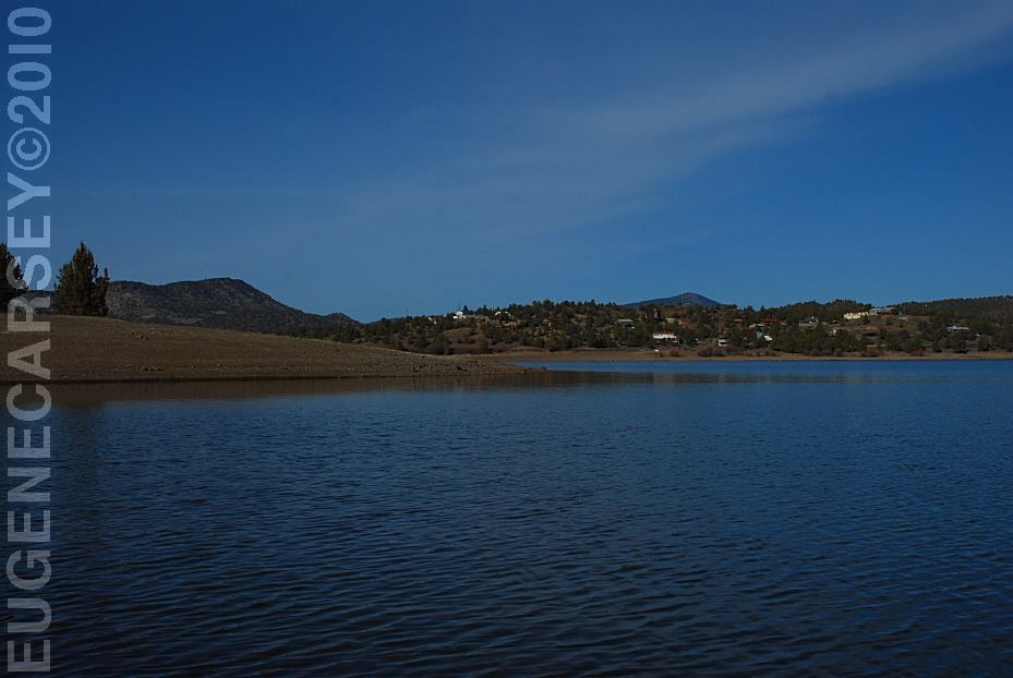
Prineville Reservoir
Viewed from Roberts Bay East #1 Campground
LATITUDE: N 44°06.810
LONGITUDE: W 120°42.020
Salt Creek Road for 8 miles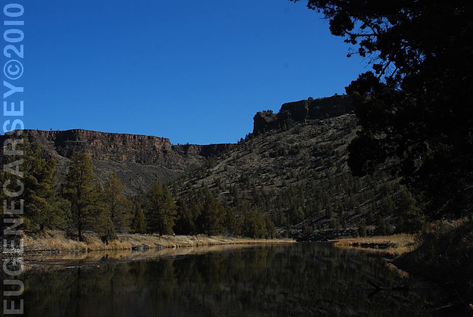
Crooked River
Viewed from Still Water Campground
LATITUDE: N 44°09.755
LONGITUDE: W 120°49.833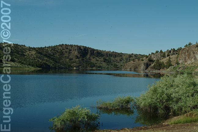
North Shore Road
View from Cattle Guard Campground
Free campgrounds along the
North Shore of Prineville Reservoir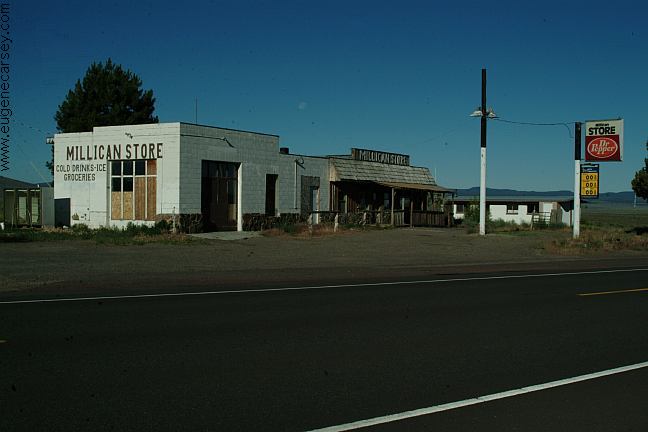
Millican
We have bought gas here in the past,
now is Millican is becoming a Ghost Town.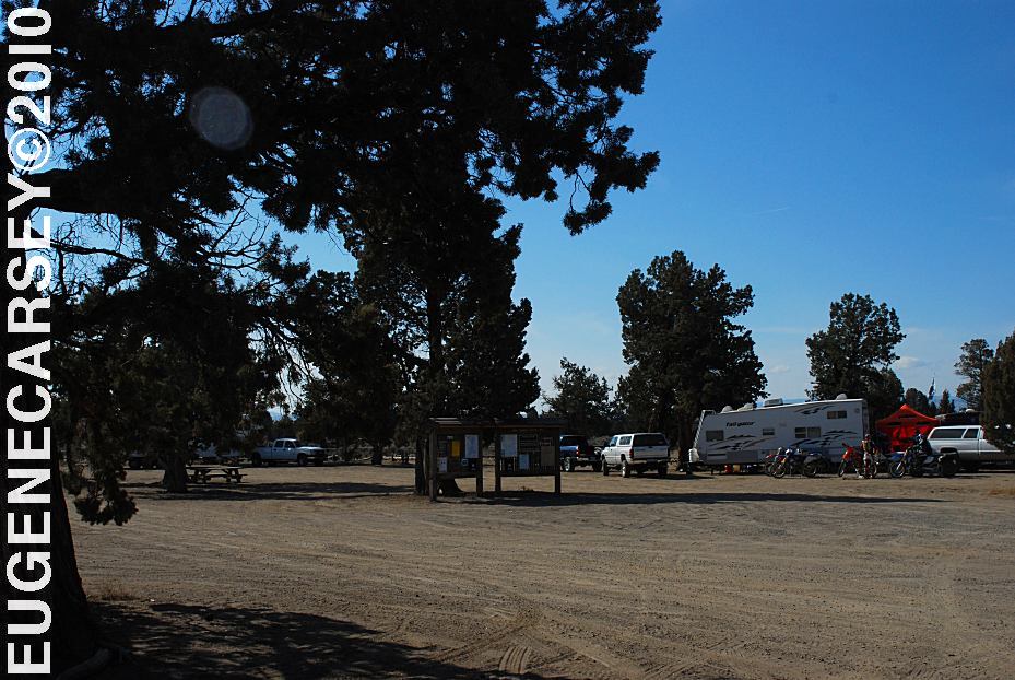
Millican Valley OHV
Four Corners Staging Area
LATITUDE: N 44°03.777
LONGITUDE: W 120°54.545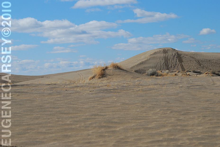
Christmas Valley Sand Dunes
LATITUDE: N 43°21.184
LONGITUDE: W 120°23.160
Elevation: 4300'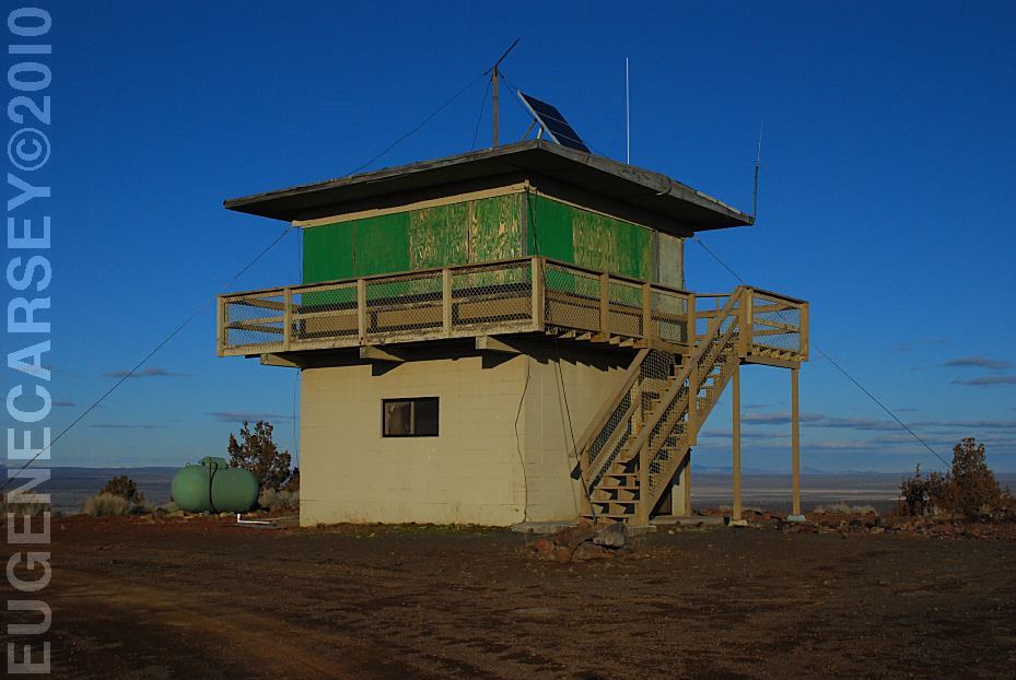
Green Mountain Lookout
LATITUDE: N 43°23.160
LONGITUDE: W 120°43.370
Elevation: 5160'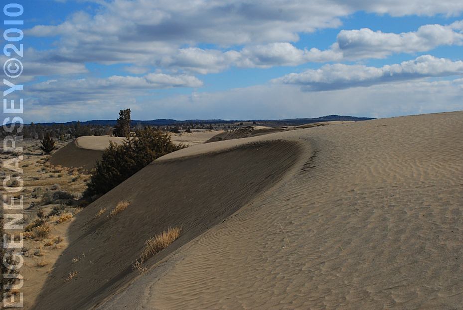
Christmas Valley Sand Dunes
LATITUDE: N 43°21.184
LONGITUDE: W 120°23.160
Elevation: 4300'
(GPS from Junipers Camp Information Board)
Christmas Valley Sand Dunes are only a couple
miles from Green Mountain.. There are dispersed
and primitive camping areas.
West from Pine Mountain Observatory.
Camping is permitted at all the trailheads
and staging areas, as well as any existing
dispersed camps.
CAMP
II TRAILHEAD
ROAD
25 STAGING AREA
CHINA
HAT CAMPGROUND
ROAD
2510 STAGING AREA
SOUTH
LAVA TRAILHEAD
SAND
SPRINGS
Complete free campground listing
Chemtrails of the USA
What are all those funny clouds in the sky...
Every day from morning to night, continuous
aerial spraying.
Free campgrounds and camping
OREGON CAMPGROUND DIRECTORY
OCHOCO NATIONAL FOREST
BROADWAY LAVA FIELD
PETERSON LAVA FIELD
