http://www.dispersedcampgrounds.comhttp://www.eugenecarsey.com

Free camping and campgrounds
OREGON CAMPGROUND DIRECTORY
NATIONAL FOREST ROAD #63
BAGBY HOT SPRINGS
BULL OF THE WOODS WILDERNESS AREA
MOUNT HOOD NATIONAL FOREST
Dispersed and Primitive Camping

River along Road#63
River along Road#63

Road#63
Road#63

Campsites all along the road.
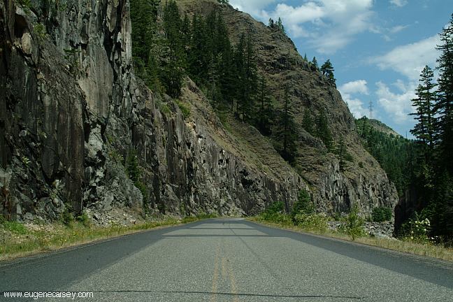
Road #63 is about 7 miles paved,
then turns to a maintained dirt surface..
There are several good camp areas.

LITTLE FAN CAMPGROUND
Little Fan Campground

Little Fan Campground

Little Fan Campground is about 4 miles.
Picnic tables, metal firerings and outhouse.
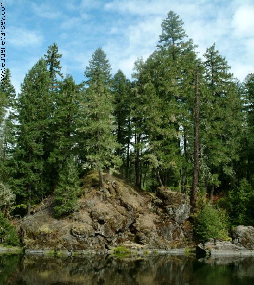
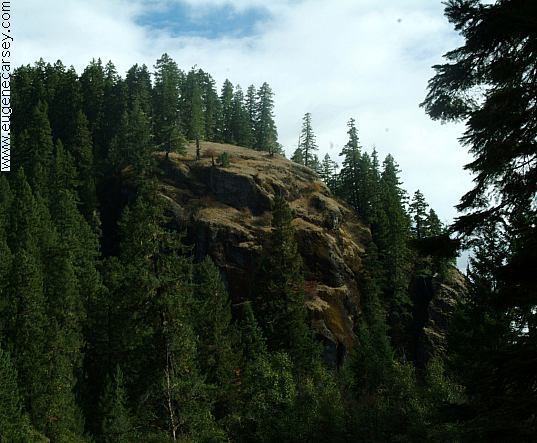
Designed as a tent site. Right on the river
with great scenery... tranquility...

On Road #63 just before the Junction of
Road #70, there are a couple good spots.
On the opposite side of Road#63 from
Road#70 there are some spur roads.
About 1/2 dozen camps hidden in the
trees along the river's bank.

ROAD #70
As you drive up Road #63, you will see Road #70.
It goes towards Bagby Hot Springs Trailhead. There
are some camps on the way to Bagby Hot Springs
Bagby Hot Springs is apx.1 mile walk from the trailhead.

Burned vehicle
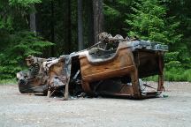
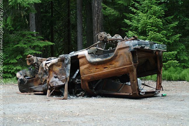
Burned vehicle on Road#4670

Burned vehicles are common sights in
the last couple years. In 2005 we saw
several burned vehicles on Road#63.
Presume they were stolen and stripped
of parts, then burning any evidence....

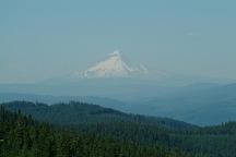
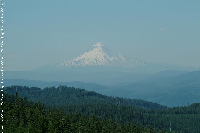
Mount Hood from Road#6350

Mount Hood is the tallest peak in Oregon
11,239'

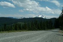
Mount Jefferson from Road#6350

Mount Jefferson is the second tallest peak
in Oregon 10,497'

TWO RIVERS PICNIC AREA $5.00
Garbage service, near the junction of Road#46


ESTABLISHED CAMPGROUNDS:
RAAB CAMPGROUND $14.00
If you park or occupy a site for any reason,
you must pay it... a lot of rules and conditions.
ROAD#70 (Towards Bagby Hot Springs)
KING FISHER CAMPGROUND $16
PEGLEG FALLS DAY USE AREA $6
BAGBY HOT SPRINGS TRAILHEAD $5

MILEAGE CHART FROM:
JUNCTION of ROAD#46 and ROAD#63

Detroit
Estacada

Bagby Hot Springs

40 miles
30 miles

10 miles

DIRECTIONS:
From Detroit
Turn before the bridge west of town.
The sign says National Forest Road #46.
Road #63 is 40 miles west of Detroit.
From Portland take I-205 South
Exit on Hwy 224 towards Estacada.
Road #63 is 30 miles east of Estacada.
From Molalla

Showers at Detroit Lake State Park.
Cost $2.00

Best water at Humbug Campground
(Road#46 about 4 miles from Jct. of hwy.22)
Natural mountain spring on Road#4670
A couple hundred yards from the junction
of Road#46. The water is clean and refreshing.

Natural mountain spring
Natural Mountain Spring on Road#4670

Also see: COVE CREEK
Also see:
GREEN PETER LAKE
Also see:
HIGHWAY 224
Also see:
OLALLIE SCENIC AREA
Also see:
ROAD#46
Also see:
ROAD#4670

Google Custom Map Free Oregon Campgrounds
Google Custom Map by Ian

OREGON FREE CAMPGROUND MAP
Google custom map by Ian with most of the
free campgrounds in Oregon
.

Road#63 Rock Outcropping

Dandelions
Dandelions on Road#63

CAMPGROUND INDEX
Complete free campground listing

CAMPING ADVICE AND TIPS

TOURIST PHOTOS

Mount Tabor
Mount Tabor in Portland, OR
Entrance from 60th St. and Salmon

Copyright Notice
www.eugenecarsey.com

dispersedcampgrounds.com
Free campgrounds and camping
OREGON CAMPGROUND DIRECTORY
BAGBY HOT SPRINGS
BULL OF THE WOODS WILDERNESS AREA