Free Campgrounds in the USAwww.eugenecarsey.com

Free camping and campgrounds
OREGON CAMPGROUND DIRECTORY
RUFUS LANDING
COLUMBIA RIVER GORGE
LATITUDE: N 45°41.593
LONGITUDE: W 120°45.288
(GPS from outhouse at Rufus Landing)
Elevation around 170'
Dispersed and Primitive Camping

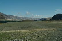
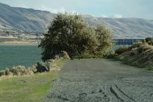
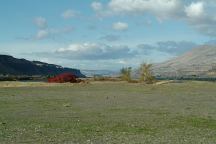
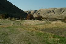
Rufus Landing Camp Area

Rufus Landing Camp Area

Rufus Landing Camp Area
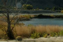
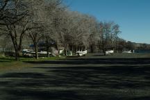
Camp areas at Rufus Landing

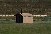
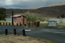
Outhouse at Rufus Landing
LATITUDE: N 45°41.593
LONGITUDE: W 120°45.288

If you follow the road west, there is a big
parking area where you can camp along the
banks of the Columbia River. There is a
vaulted toilet at Rufus Landing with
dispersed and primitive campsites

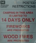
Posted Restrictions
Posted Restrictions

Posted Restrictions

Posted Restrictions
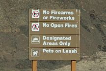
Sign near entrance to camp areas

Lake Celilo
Lake Celilo...

Boat Ramp at Giles French Park
Outhouse and garbage dumpsters
Boat Ramp at Giles French Park.

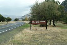
Giles French Park
Giles French Park

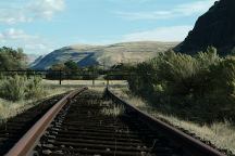
Old Railroad Tracks
Old Railroad Tracks
The tracks end at the fence...
Near the entrance to Giles French Park

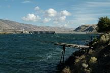
Indian Fishing Platforms
John Day Dam in the Background

Rufus Landing Camp Area
Camp areas at Rufus Landing

14 Day Camping Limit


US Army Corps of Engineers

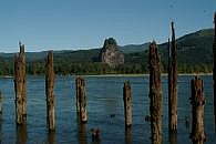
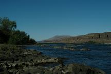
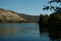
Columbia River
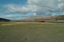
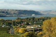
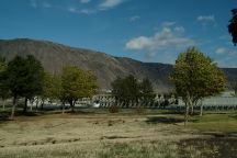
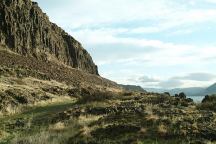
Columbia River Gorge from Rufus Landing

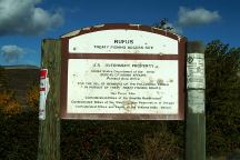
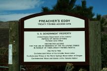
Rufus Treaty Fishing Access Site
Rufus
Treaty Fishing Access Site
United States Department of the Interior
Bureau of Indian Affairs

Preachers Eddy
Preacher's Eddy
Treaty Fishing Access Site
United States Department of the Interior
Bureau of Indian Affairs

Preacher's Eddy is near the boat launch.
Restricted Access

There is a lot of noise pollution with I-84,
railroad tracks both sides of the river, and
an occasional barge with big diesel engines.
Being in a canyon makes it more concentrated.
Kind of like the big city... you get used to it and
it is just part of the background.

PHOTO HERE
Tug boat pushing barges full of gravel

IT IS YOUR RESPONSIBILITY TO KNOW
WHAT FIRE RESTRICTIONS ARE IN EFFECT
WOOD FIRES ARE PROHIBITED
FIREWORKS ARE PROHIBITED

Learn to Swim
Learn to Swim...
While you still have a chance

Columbia River
Columbia River at French Glen Campground

LATITUDE: N 45°42.296
LONGITUDE: W 120°42.943
If you go east to the end of the road is the
John Day Dam and Visitor Center. The road
follows the edge of the Columbia River There
are dispersed campsites along the river. Continue
towards the Visitor Center are some more paved
parking areas with metal BBQ grills.

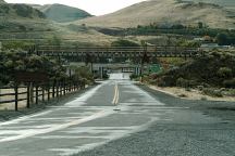
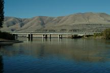
I-84 Bridge
Road toward I-84 Bridge and Rufus, OR

Road towards Rufus Landing

DIRECTIONS:
Interstate 84 / Exit#109 at Rufus.
(Rufus and John Day Dam)
Take the road under the Interstate bridge
There are dispersed camps both directions along
the Columbia River. Rufus Landing is to
the west...

ROAD CONDITIONS:
Paved surfaces and easy access
The road to Rufus Landing is kind of rough
with lots of potholes, but drive slow and it's
not a problem. Rufus Landing parking area
is covered with river rocks... stay on packed
surfaces.

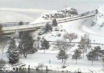
ODOT Road Cams
Photo taken from ODOT Road Cams
December 21, 2008

While the weather is more moderate in this area,
it can and does snow in winter. Usually the snow
only last a couple days.

Rufus Landing Camp Area
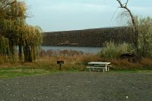
Campsite on the road towards Rufus Landing
There used to be a sign that said "No Camping",
now there is a picnic table...

Rufus Landing Camp Area
Camp areas at Rufus Landing

Maryhill, WA
Maryhill, WA

Showers at Maryhill State Park and Historic Site
(Washington side of the Columbia River
Take Hwy.97 north from Biggs, OR)
$.50 in quarters for 3 minutes
Shower located at the Day Use Area

Showers at Pilot Travel Center in Biggs, OR
Kind of expensive...

Showers at Ainsworth SP Campground for $2.00
I-84 / MP35 towards Portland, OR

There are supposed to be showers in Rufus, OR
At the RV Park???

Giles French Park
French Glen and Giles French Park

FRENCH GLEN
LATITUDE: N 45°42.175
LONGITUDE: W 120°43.466
Dispersed and primitive camping on the
Columbia River east from Rufus Landing


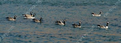
Geese are migrating south this time of year.

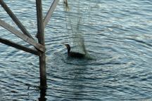
Bird caught in fishing net
Bird caught in fishing net left on platform.
An older gentleman had came to our camp and
asked for help in rescuing the bird... he pecked
us a couple times, but mostly was cooperative.

PHOTO HERE
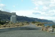
Rufus Grain Silo at French Glen

Blurred lights of boat on the Columbia River

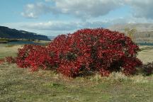
The river is lined with blackberry bushes.
Harvest season is August or early September?

John Day Dam
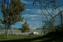
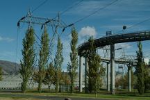
Camp trailer parked right under the main power lines.
Personally we don't camp under high voltage power lines...
And these lines make a lot of static noise

John Day Dam Park and Picnic Area
John Day Dam

John Day Dam Park and Picnic Area

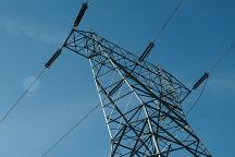
Powerlines at John Day Dam
Power lines at John Day Dam

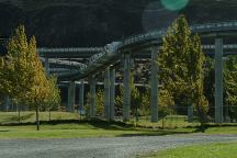
Fish ladder at John Day Dam
Looks like an amusement park.
Part of the fish ladder system for migrating salmon.
It was a big issue in the past about the dams were
preventing the migrating salmon and steelhead from
the river...

Fish ladder at John Day Dam
Part of the fish ladder system for migrating salmon

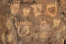
Indian Petroglyphs at Cliffs Park
John Day Dam Petroglyphs
Indian Petroglyphs at Cliffs Park

JOHN DAY DAM PETROGLYPHS
LATITUDE: N 45°42.981
LONGITUDE: W 120°42.272
From the fishing platform nearest to
John Day Dam walk along the river
towards the lock. The petroglyphs
are on the cliff face. There are Bear
Paws and other symbols.

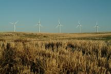
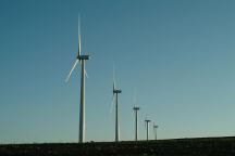
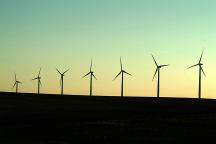
Wind Turbines on Smith Road

Wind Turbines on Smith Road

Wind Turbines on Smith Road

At the time we took these photos of wind turbines
they were a novelty, but in recent years they have
built thousands more and dominate the landscape...
a scenic area is now industrialized.

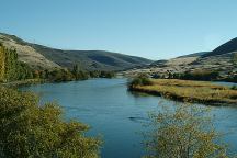
Deschutes River Crossing
Deschutes Crossing
Deschutes River drains into the Columbia River

Deschutes River Crossing
From Deschutes Heritage Site

DESCHUTES STATE RECREATION AREA
4 miles west from Biggs, OR
Electric $12.00 / Tent $5.00
Picnic Area and Drinking Water


Deschutes River and State Recreation Area


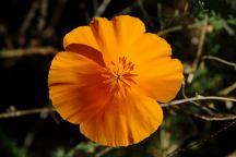
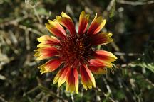
Flowers at Deschutes State Recreation Area


Flowers at Deschutes State Recreation Area

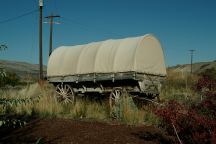
Wagon at Deschutes State Recreation Area

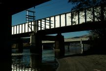
Three Bridges over the Deschutes River
Deschutes Crossing and Deschutes State Recreation Area

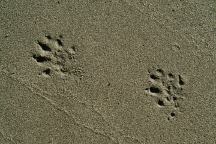
Raccoon Tracks
Raccoon Tracks
Deschutes State Recreation Area

Giles French Park
French Glen and Giles French Park

FRENCH GLEN
LATITUDE: N 45°42.175
LONGITUDE: W 120°43.466
Dispersed and primitive camping
East from Rufus Landing towards
the John Day Dam.

Columbia River from Cliffs Park

CLIFFS PARK
LATITUDE: N 45°42.819
LONGITUDE: W 120°42.718
West on Hwy.14 at the John Day Dam
Road follows the Columbia River for several
miles with dispersed campsites. Incredible
scenery...

Avery Park and Indian Fishing Treaty Site
Avery Park and Fishing Treaty Site

AVERY PARK
LATITUDE: N 45°39.748
LONGITUDE: W 121°02.117
Hwy.14 between milepost 89-90
(3 miles west from Wishram, WA)

Sundale Park and Fishing Treaty Site

SUNDALE PARK
LATITUDE: N 45°43.134
LONGITUDE: W 120°18.924
Indian Fishing Treaty Access Site
Hwy.14 at milepost 128

Camp Area at Rock Creek Boat Ramp
Rock Creek Boat Ramp

ROCK CREEK BOAT RAMP
LATITUDE: N 45°43.165
LONGITUDE: W 120°27.649
Hwy.14 / Milepost 121
Take Rock Creek Road for xx miles

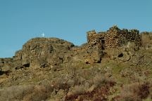
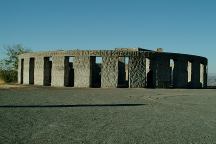
Stonehenge Memorial
Stonehenge Memorial

STONEHENGE MEMORIAL
LATITUDE: N 45°41.660
LONGITUDE: W 120°48.380
Hwy.14 east from Maryhill, WA
Stonehenge Memorial is a replica of
the Stonehenge Monument in England...
Built by Samuel Hill as a memorial to
Klickitat County soldiers who lost their
lives in World War One. Construction
was completed in 1929.

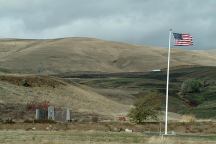
War Memorial
War Memorial

The War Memorial is dedicated to...
Next to Stonehenge Memorial.

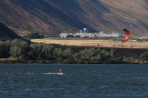
Windsurfers in Columbia Gorge

Also see: 29 PINES CAMPGROUND
Also see:
AVERY PARK
Also see:
BROADWAY LAVA FIELD
Also see:
CLIFFS PARK
Also see:
FRENCH GLEN
Also see:
GLENWOOD-GOLDENDALE
Also see:
HAYSTACK RESERVOIR
Also see:
MOUNT SAINT HELENS
Also see:
NORTH SHORE ROAD
Also see:
OCHOCO NF / COTTONWOOD
Also see:
OCHOCO NF / ROAD#16
Also see:
OCHOCO NF / ROAD#27
Also see:
ROCK CREEK BOAT RAMP
Also see:
RUFUS LANDING
Also see:
SALT CREEK ROAD
Also see:
SKULL HOLLOW
Also see:
SUNDALE PARK
Also see:
TEANAWAY CAMPGROUND
Also see:
WILLIAMS CAMPGROUND

Google Custom Map Free Oregon Campgrounds
Google Custom Map by Ian

OREGON FREE CAMPGROUND MAP
Google custom map by Ian with most of the
free campgrounds in Oregon
.

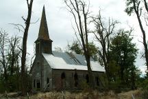
Old Church on Highway 206
Old Church on Hwy.206 / Milepost 11
About 3 miles north of Wasco, OR
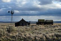
Old Buildings on Haggerty Lane
LATITUDE: N 45°10.239
LONGITUDE: W 120°42.075
South from Kent, OR
Hwy.97 / MP 42-43
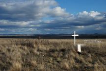
Historic Kent Cemetery
Historic Cemetery
LATITUDE: N 45°09.371
LONGITUDE: W 120°41.211
South from Kent, OR
Hwy.97 / MP 43-44
Most of the dates are from the early 1900's
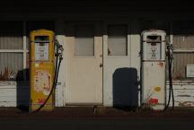
Gas Pumps in Kent
Gas Pumps in Kent, OR
LATITUDE: N 45°11.755
LONGITUDE: W 120°41.773
Hwy.97 / MP 40-41
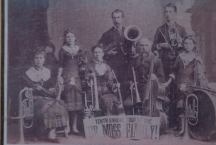
DeMoss Memorial Park
DeMoss Memorial Park on Hwy.197
LATITUDE: 45°30.715
LONGITUDE:120°40.975
Oregon Hwy.97 MP 15
3 miles north from Moro, OR
Vaulted Toilets, Garbage, Picnic,
Water in Season
Historical Structures and Information

PHOTO HERE
Mountain Identifier
LATITUDE: 44°59.440
LONGITUDE:120°50.960
Oregon Hwy.97 MP 62
Mount Rainer, Adams, St.Helens, Hood, Jefferson,
Three Finger Jack, Washington, Three Sisters, and
Broken Top.

PHOTO HERE
Mountain Identifier
LATITUDE: 44°58.938
LONGITUDE:120°59.477
Criterion Summit / Elevation 3360'
Oregon Hwy.197 MP 62
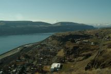
Wishram Washington
Wishram, WA

Stone House on Highway 14
Stone House on Hwy.14 / Milepost 85
Near Horse Thief State Park
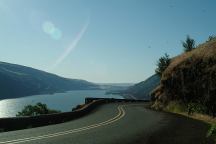
Columbia River Gorge
Columbia River Gorge from Hwy.30

Columbia River Gorge
Columbia River Gorge towards Portland
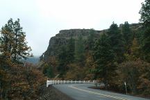
Highway 30
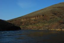
Highway 30

Deschutes River from Buck Hollow
LATITUDE: 45°16.050
LONGITUDE:121°01.135
Highway 216 between Maupin and Grass Valley
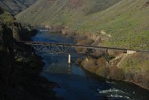
Train Bridge over the Deshutes River
Train Bridge over the Deschutes River
(North from Buckhollow)
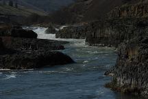
Sherars Falls
Sherars Bridge
LATITUDE: 45°15.650
LONGITUDE:121°02.250

SHERARS BRIDGE
This area of the Deschutes River has been a river
crossing and fishing location for thousands of years.
Peter Skene Ogden made note of an Indian camp
and bridge when he crossed here in 1826.
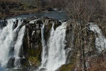
White River Falls SP
LATITUDE: 45°14.600
LONGITUDE:121°05.815

There are a series of waterfalls as the river
snakes it's way through the canyon. From
the viewpoint you only see the main set of
falls, but this is a double waterfall. The lower
pool and falls can be viewed by walking
down the trail a short distance.
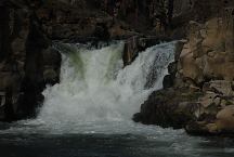
White River Falls
If you walk down past the old powerhouse
there is another waterfall.
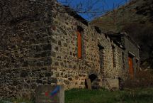
White River Falls Powerhouse
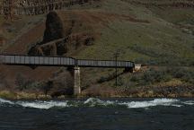

White River Recreation Site
LATITUDE: 45°13.940
LONGITUDE:121°04.050
Confluence of the Deschutes and White Rivers.
Road xx East from Maupin, OR.
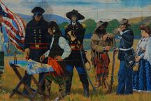
Peace Treaty of 1855
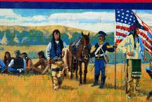
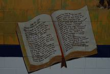
Peace Treaty of 1855

Peace Treaty of 1855
By R.E. Pierce and Don Prechtel

Peace Treaty of 1855
Tum-A-Lum Lumber Company
811 E.2nd
The Dalles, OR
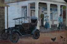
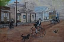
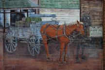
Mural
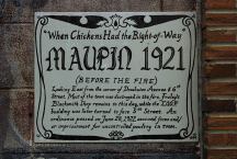
Maupin 1921

Mural
Maupin 1921

Mural
Maupin 1921

Mural
MAUPIN 1921
Mural on side of
Deschutes Angler Fly Shop
Hwy.191 in Maupin, OR

PHOTO HERE
Mural on Maupin Hardware Store
Highway 191 in Maupin, OR

CAMPGROUND INDEX
Complete free campground listing

CAMPING ADVICE AND TIPS

TOURIST PHOTOS

Copyright Notice
www.eugenecarsey.com

Camped here several times over the years.
Camped here January 20, 2008
Camped here March 15, 2008

dispersedcampgrounds.com
Free campgrounds and camping

OREGON CAMPGROUND DIRECTORY
COLUMBIA RIVER GORGE SCENIC AREA
RUFUS LANDING