|
STONEHENGE
MEMORIAL &
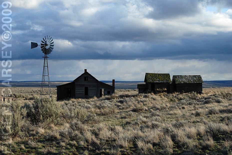
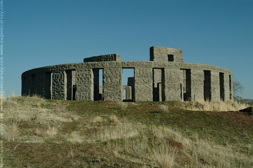
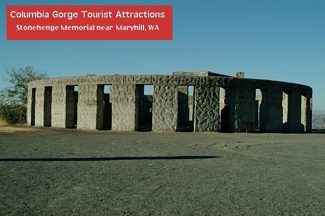
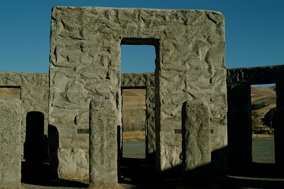
Stonehenge Memorial is a replica of the Stonehenge Monument in England. Built by Samuel Hill as a memorial to Klickitat County soldiers who lost their lives in World War One. Construction was completed in 1929.
The more we study the blueprint of Stonehenge, the less sense it makes. The positions of the stones are all correct, but being a circle, you could find a viewing spot for any star or sun position.
We have our own theory about Stonehenge that
involves sound... maybe it was an amphitheater. The Stonehenge formation
has some exceptional sound qualities and amplification features.
Placing a little radio turned to the lowest volume on the flat rock inside the circle, it can be
heard loud and clear a hundred yards away. Another theory is that Stonehenge was used as a telephone to God. We might not have confidence in this
theory, but nobody nows what the builders were thinking and there is
the audio manipulation concept as mentioned above. |


|
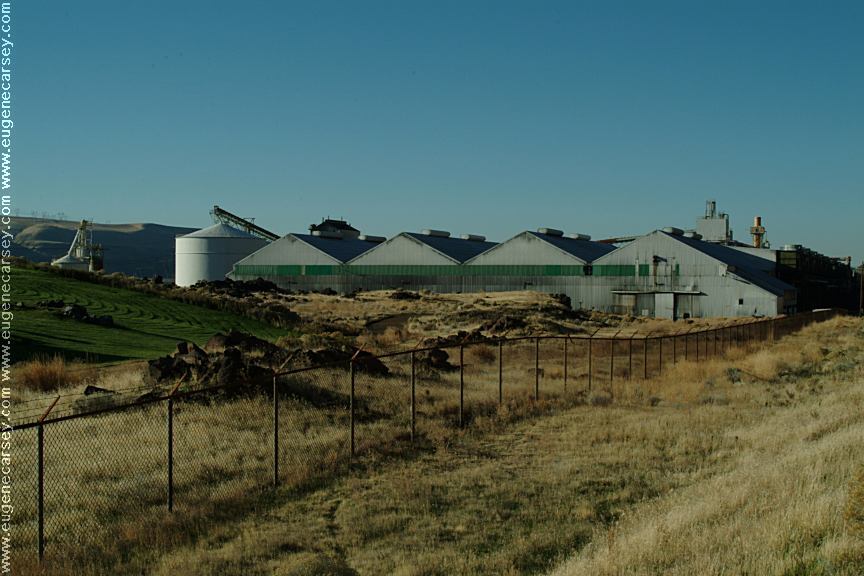
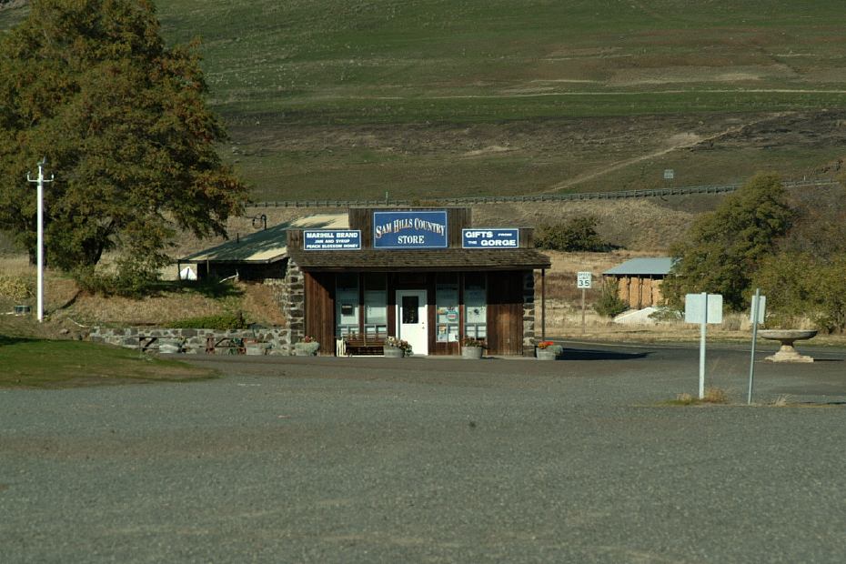
There is a little store and tourist shop. Open during summer season. A good place to buy postcards and stamps.
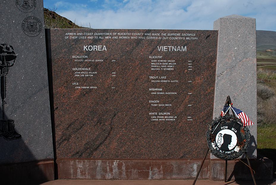
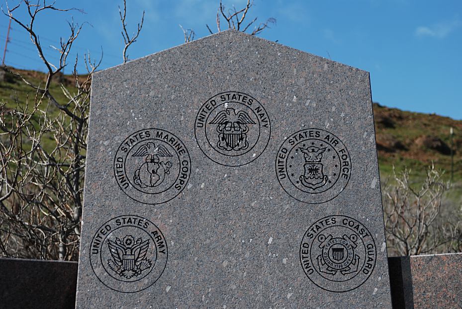
The War Memorial is dedicated to World War One Veterans of Klickitat County. It is next to Stonehenge Memorial and includes names of Veterans who made the supreme sacrifice of their lives from Korea, Vietnam, and World War II.
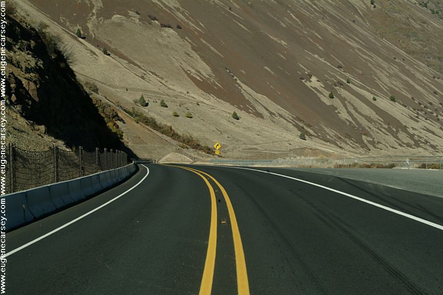
DIRECTIONS: From Maryhill, WA
ROAD CONDITIONS: |


|
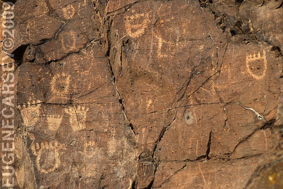
JOHN
DAY DAM PETROGLYPHS
CLIFFS
PARK
FRENCH
GLEN
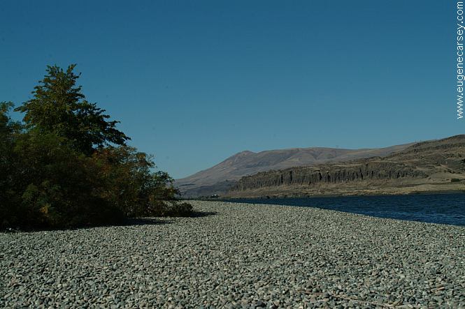
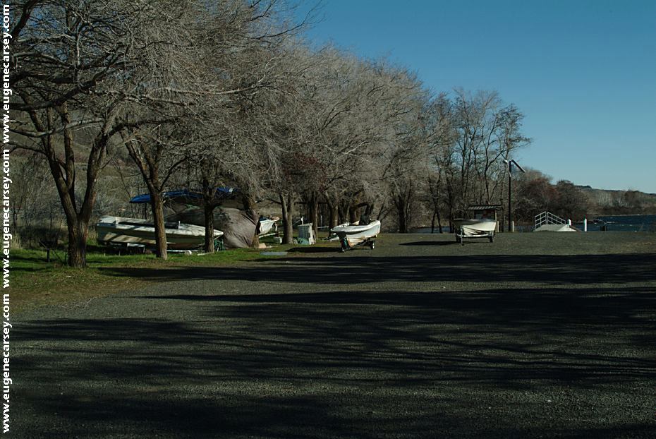
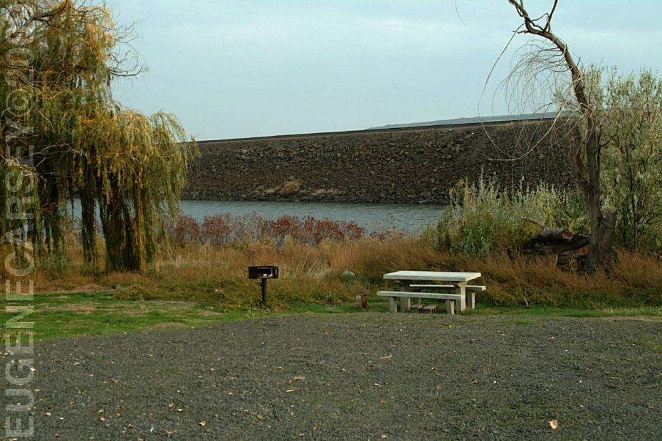
RUFUS
LANDING
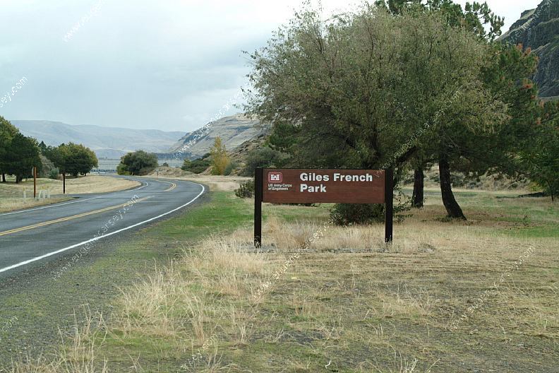
AVERY PARK
SUNDALE
PARK
ROCK
CREEK BOAT RAMP |
|
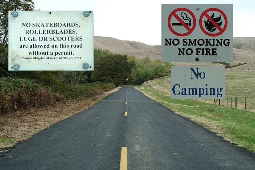
MARYHILL LOOPS ROAD
CAMPGROUNDS IN
THE USA Tourist Guide and Destinations |