|
Windsurfers in Columbia Gorge
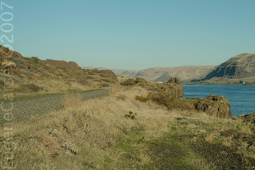
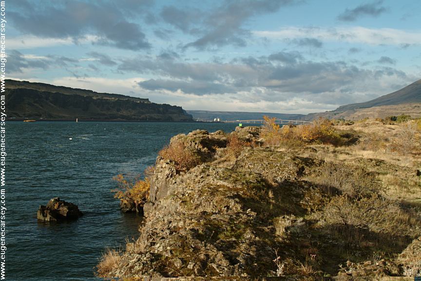
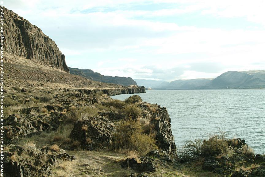
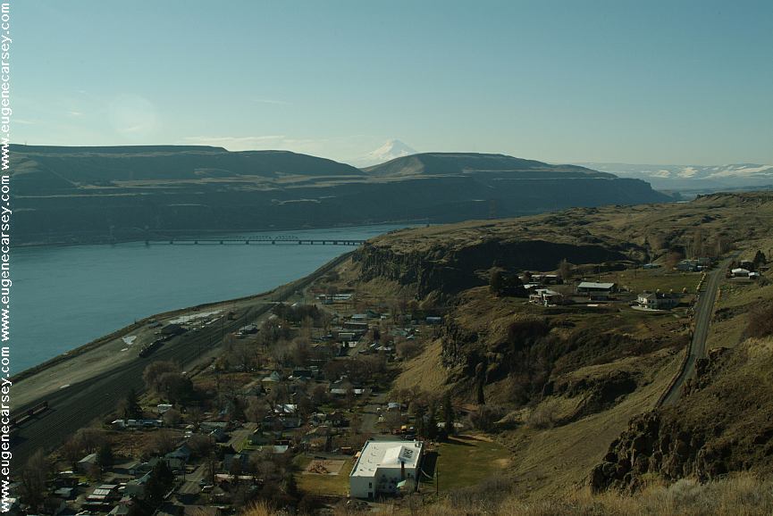
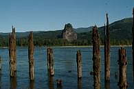
Wishram, WA
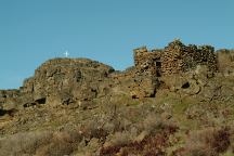
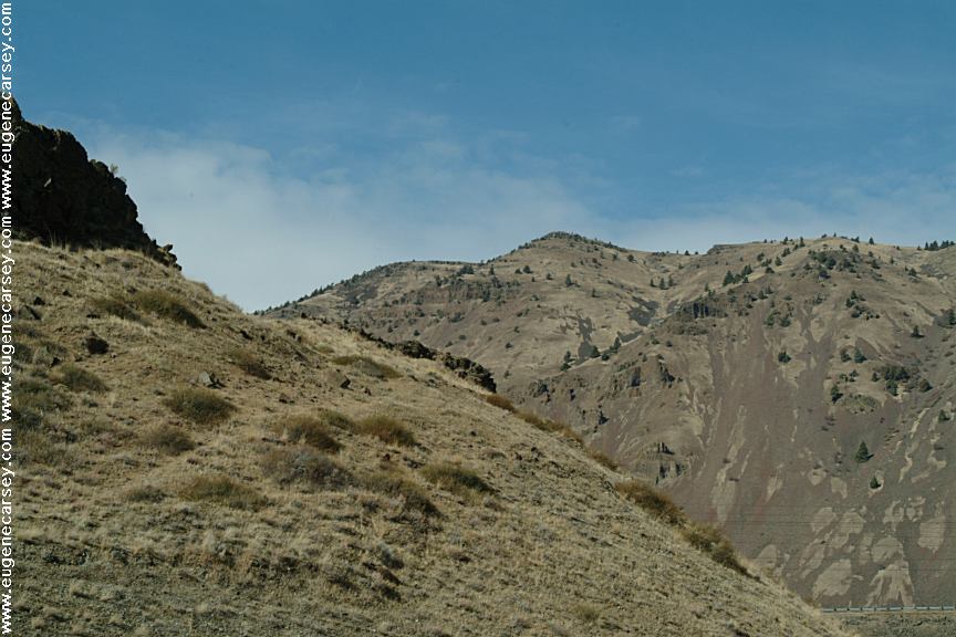
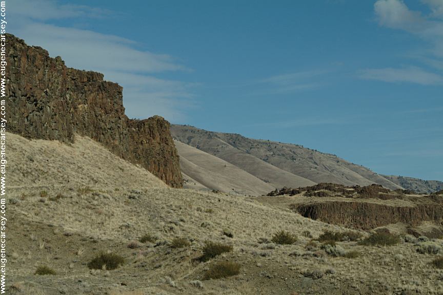
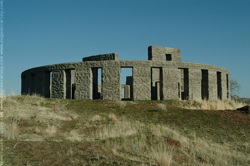
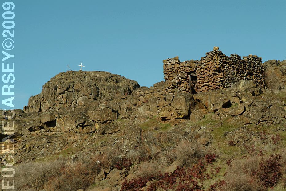
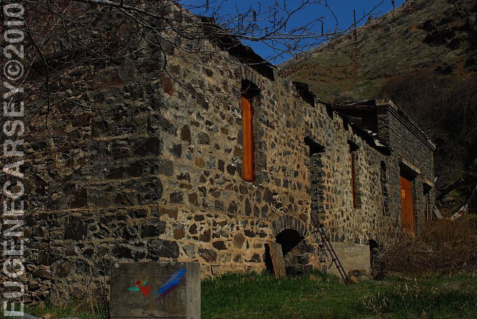
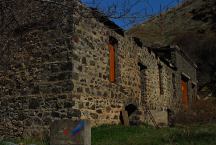
Stone House on Hwy.14 / Milepost 85
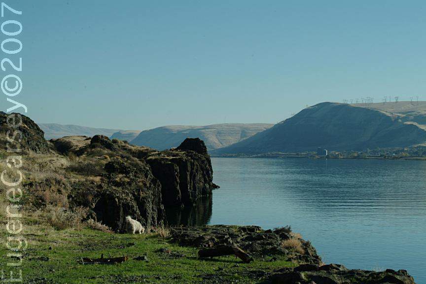
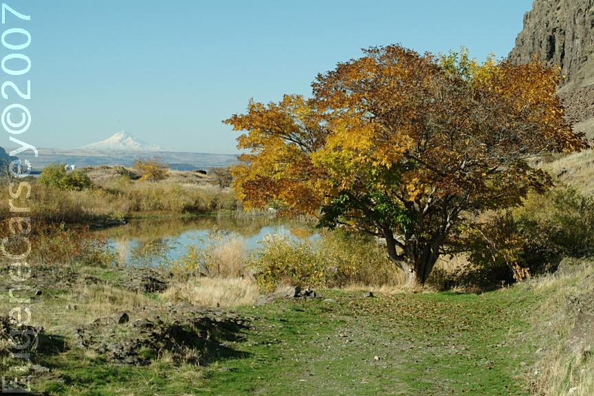
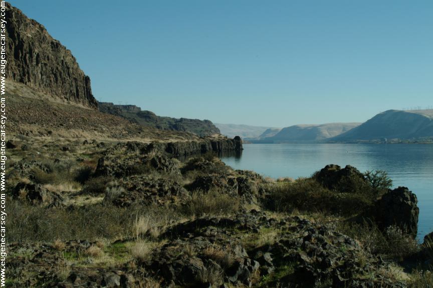
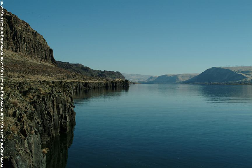
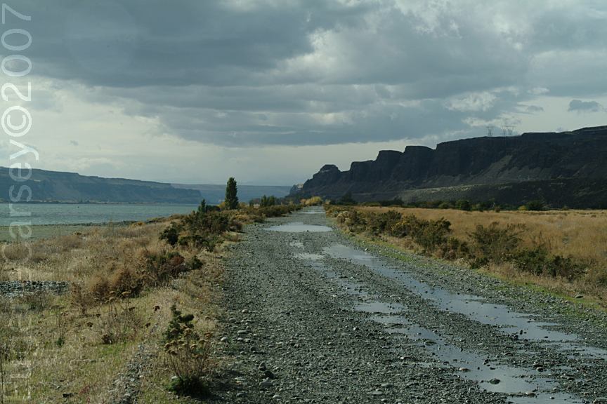
Near Horse Thief State Park

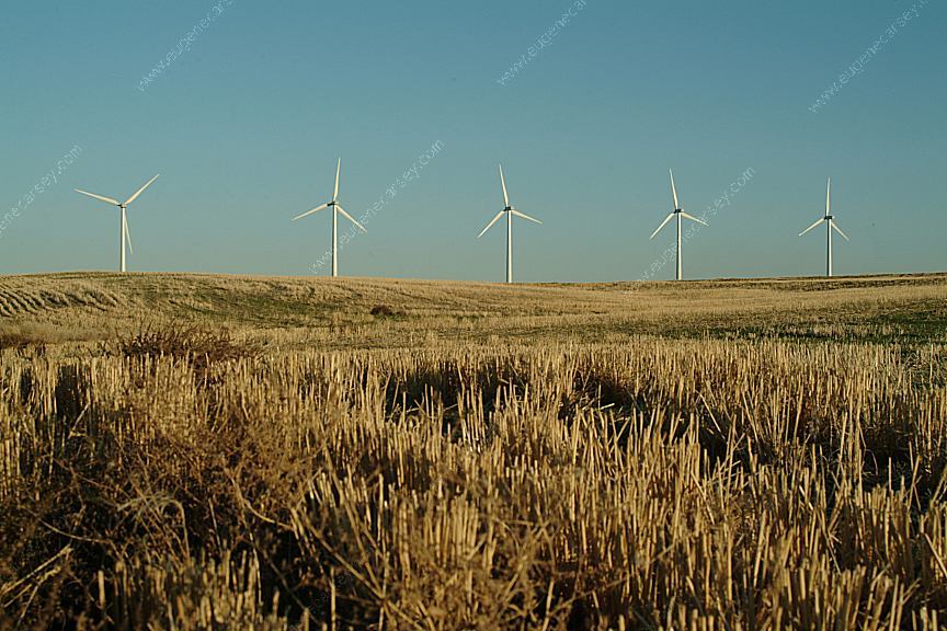
Wind Turbines on Smith Road in Oregon
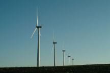
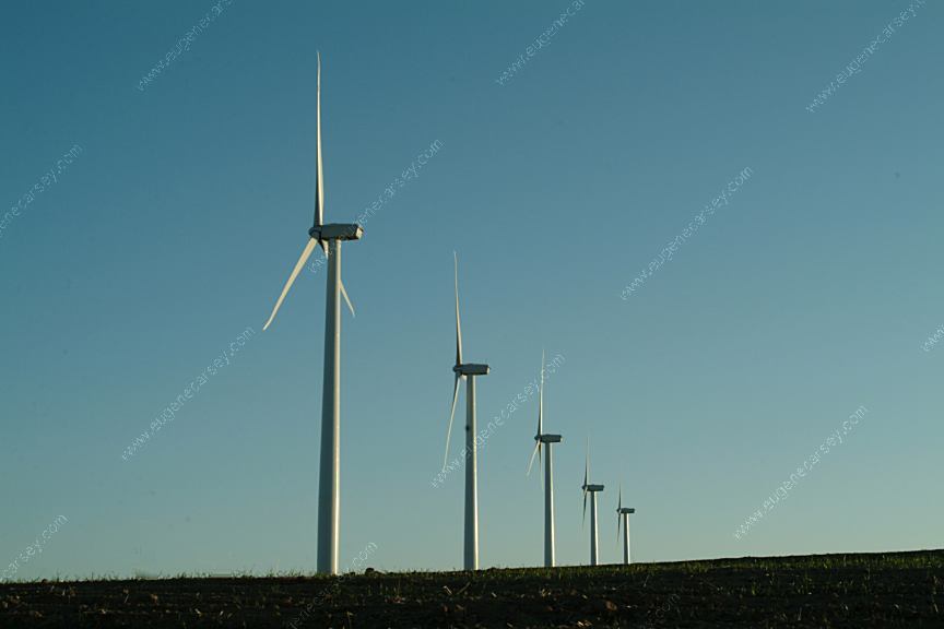
Wind Turbines on Smith Road in Oregon

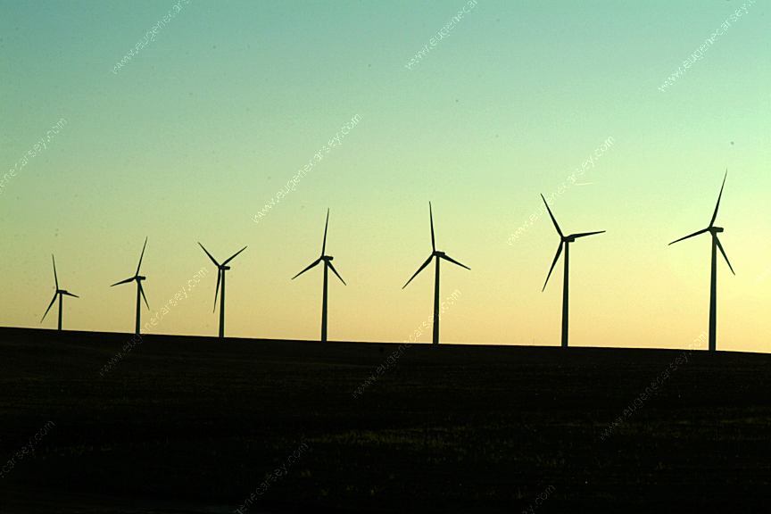
Wind Turbines on Smith Road in Oregon
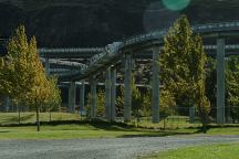
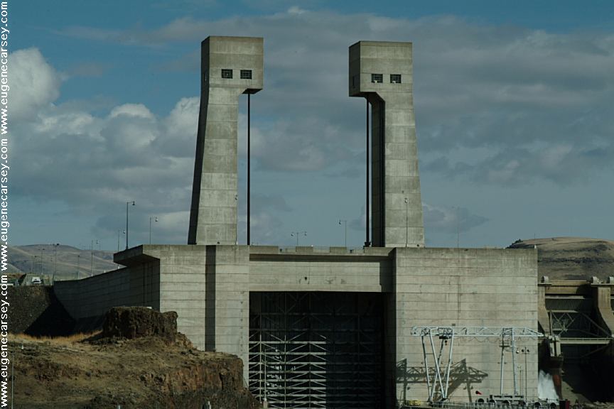
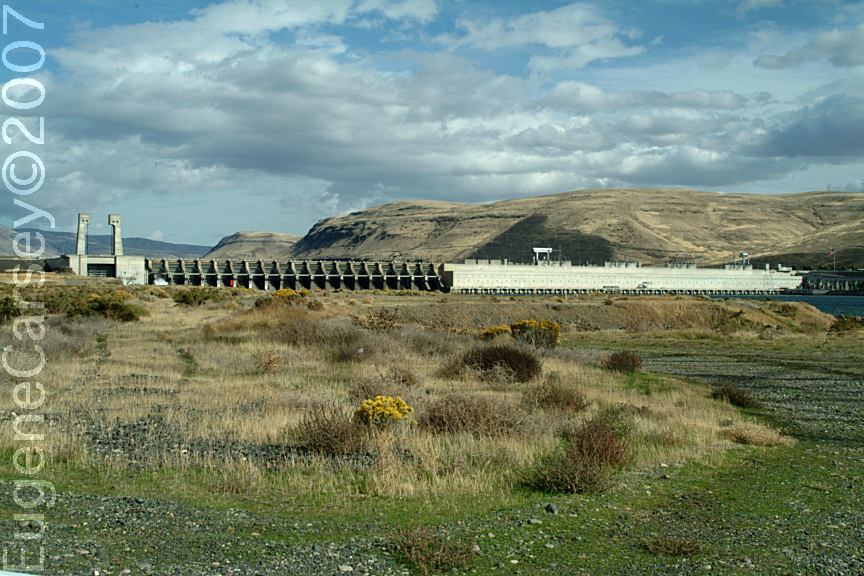
Looks like an amusement park.
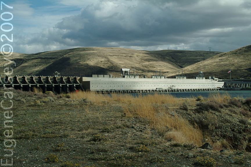
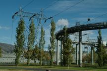
Part of the fish ladder system for
migrating salmon. It was a big issue
in the past about the dams preventing
the migrating salmon and steelhead
from the river...
Part of the fish ladder system for
migrating salmon

Gas Pumps in Kent, OR
LATITUDE: N 45°11.755
LONGITUDE: W 120°41.773
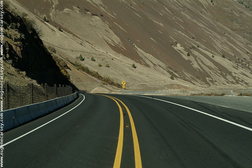
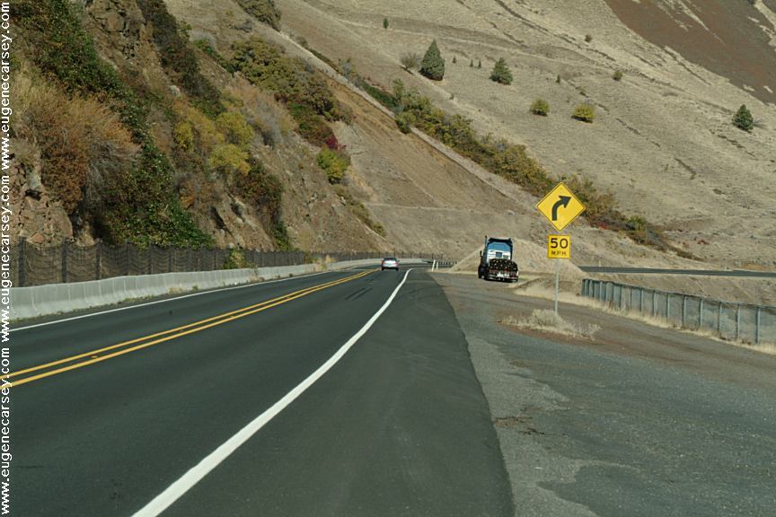
Hwy.97 / MP 40-41
PHOTO HERE
Mountain Identifier
LATITUDE: 44°59.440
LONGITUDE:120°50.960
Oregon Hwy.97 MP 62
Mount Rainer, Adams, St.Helens, Hood,
Jefferson, Three Finger Jack, Washington,
Three Sisters, and Broken Top.
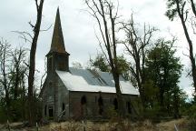
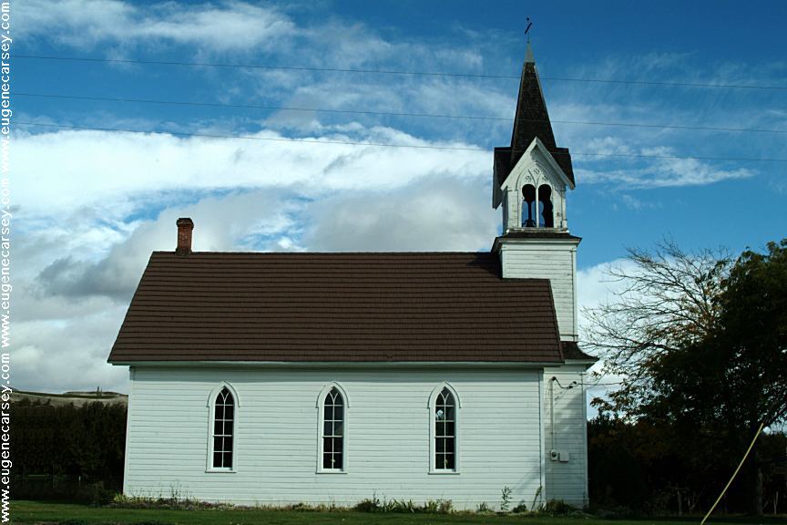
Old Church on Hwy.206 / MP11
About 3 miles north of Wasco, OR
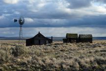
Old Buildings on Haggerty Lane
LATITUDE: N 45°10.239
LONGITUDE: W 120°42.075
South from Kent, OR
Hwy.97 / MP 42-43
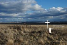
Historic Cemetery
LATITUDE: N 45°09.371
LONGITUDE: W 120°41.211
South from Kent, OR
Hwy.97 / MP 43-44
Most of the dates are from the early 1900's

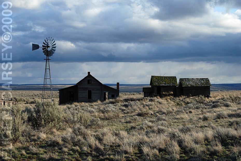
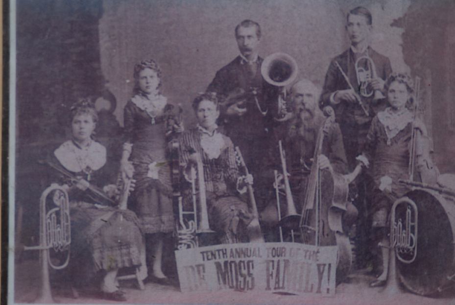
DeMoss Memorial Park on Hwy.197
LATITUDE: 45°30.715
LONGITUDE:120°40.975
Oregon Hwy.97 MP 15
3 miles north from Moro, OR
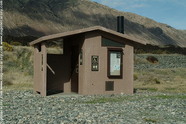
Vaulted Toilets, Garbage, Picnic,
Water in Season
Historical Structures and Information
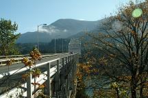
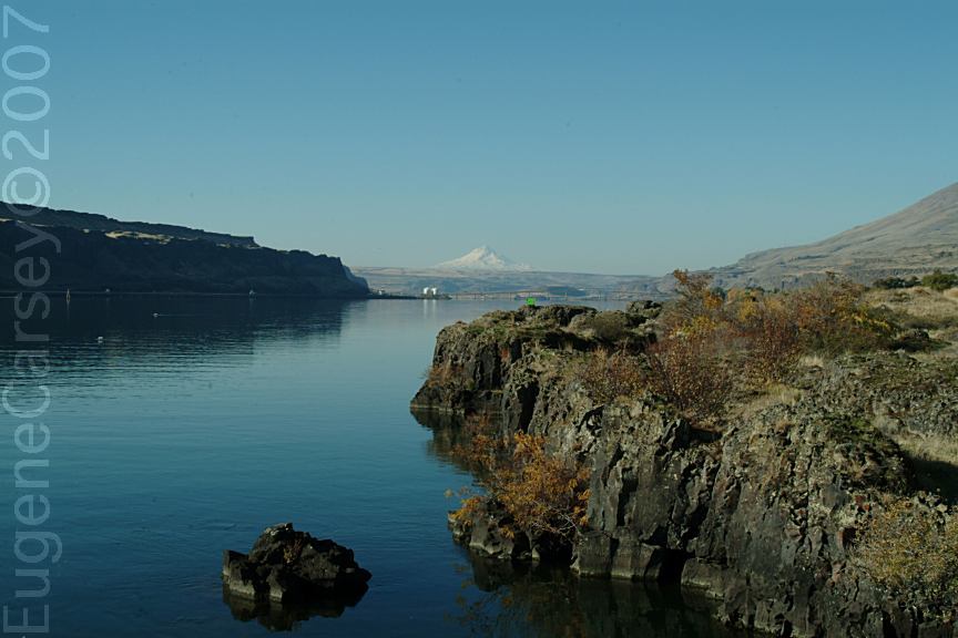
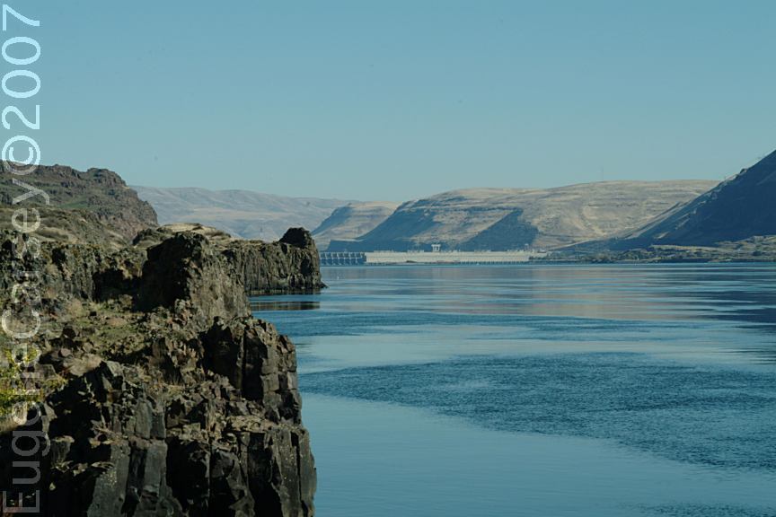
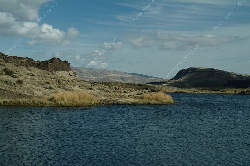
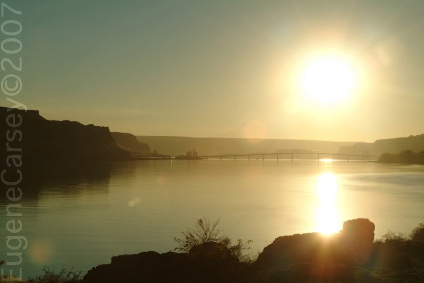
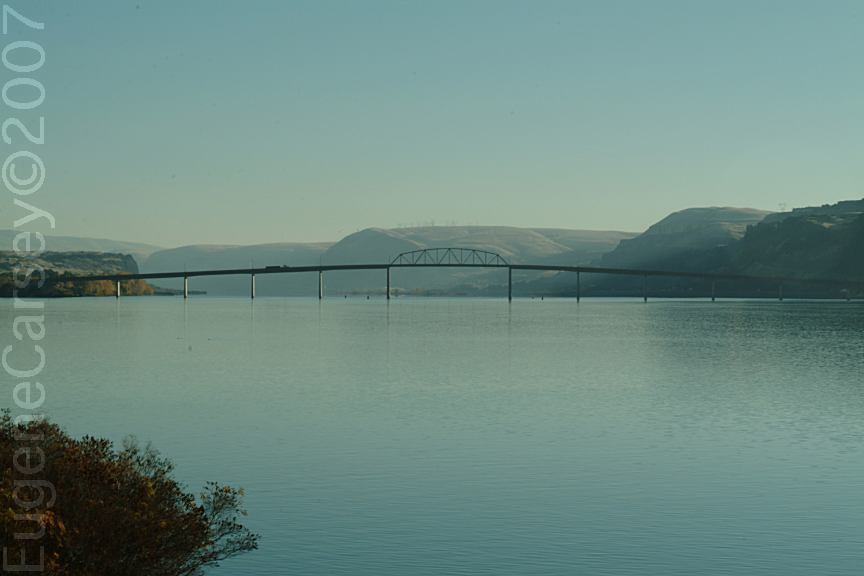
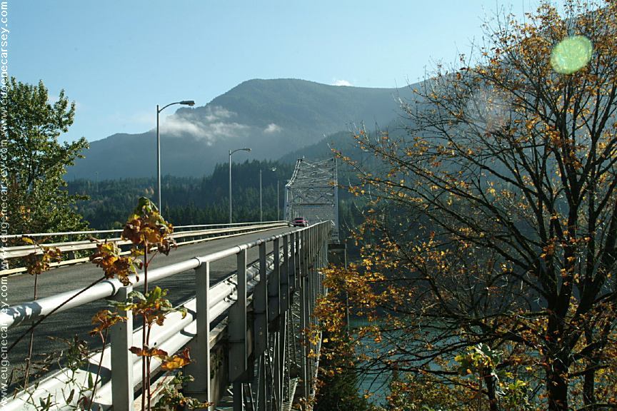
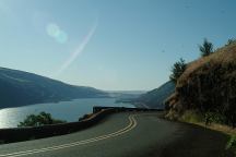
Bridge of the Gods
West from Stevenson, WA
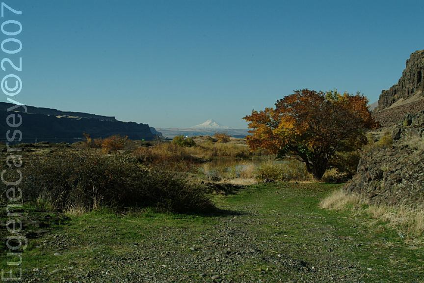
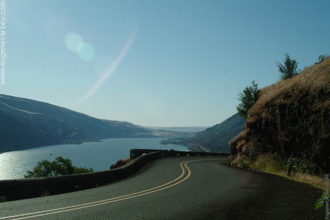
Columbia River Gorge from Hwy.30 OR

Highway 30
Columbia River Gorge towards Portland
Liberty Site, WA
Near Williams Campground in Washington.
Also see: 29 PINES CAMPGROUND
Also see: AVERY
PARK
Also see: FRENCH
GLEN
Also see: GLENWOOD-GOLDENDALE
Also see: MOUNT
SAINT HELENS
Also see: ROCK CREEK BOAT RAMP
Also see: RUFUS
LANDING
Also see: SUNDALE
PARK
Also see: TEANAWAY
CAMPGROUND
Also see: WILLIAMS
CAMPGROUND
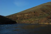
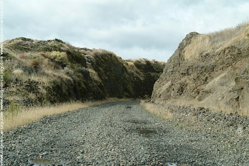
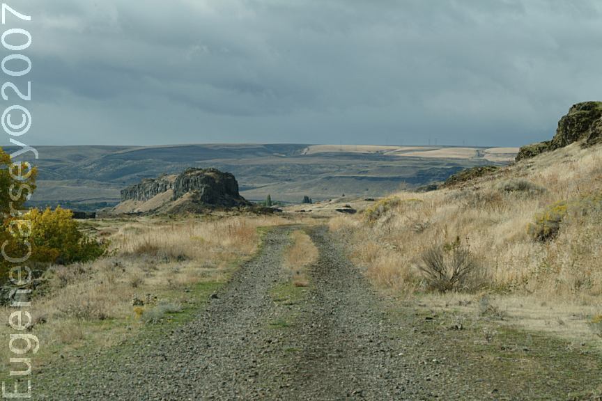
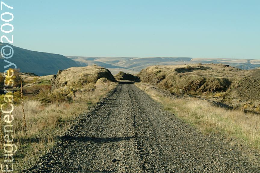
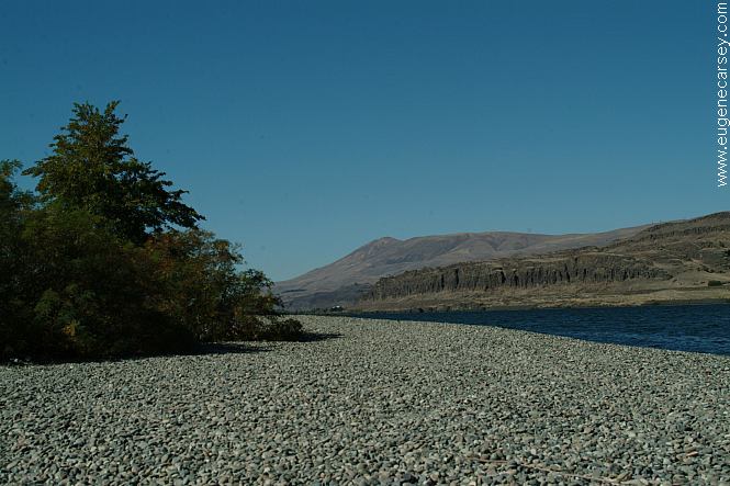
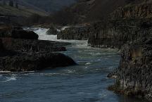
Deschutes River from Buck Hollow
LATITUDE: 45°16.050
LONGITUDE:121°01.135
Highway 216 between Maupin and Grass Valley
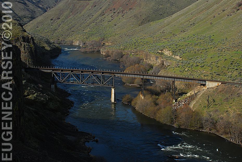
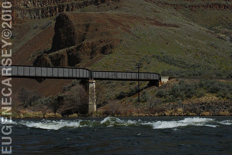
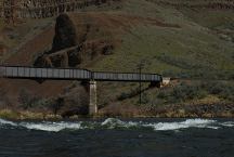
Train Bridge over the Deschutes River
(North from Buckhollow)
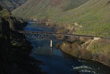
Sherars Bridge
LATITUDE: 45°15.650
LONGITUDE:121°02.250
SHERARS BRIDGE
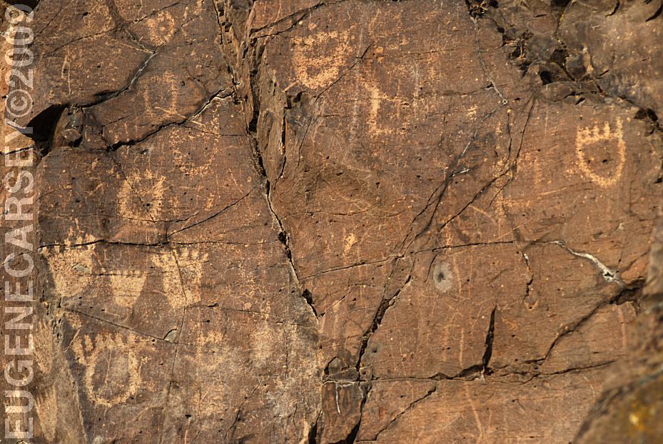
This area of the Deschutes River has
been a river crossing and fishing location
for thousands of years. Peter Skene Ogden
made note of an Indian camp and bridge
when he crossed here in 1826.
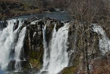
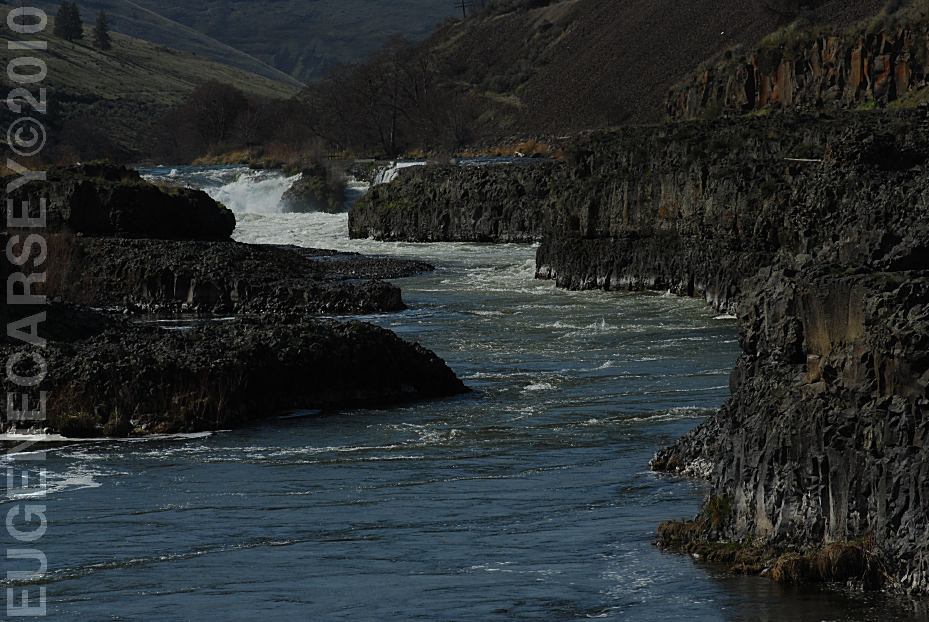
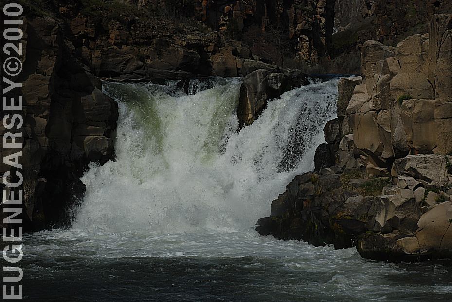
White River Falls SP
LATITUDE: 45°14.600
LONGITUDE:121°05.815
There are a series of waterfalls as the river
snakes it's way through the canyon. From
the viewpoint you only see the main set of
falls, but this is a double waterfall. The
lower pool and falls can be viewed by
walking down the trail a short distance.
If you walk down past the old powerhouse
there is another waterfall.
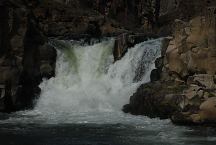
White River Falls Powerhouse
White River Recreation Site
LATITUDE: 45°13.940
LONGITUDE:121°04.050
Confluence of the Deschutes and White Rivers.
Road xx East from Maupin, OR.
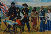
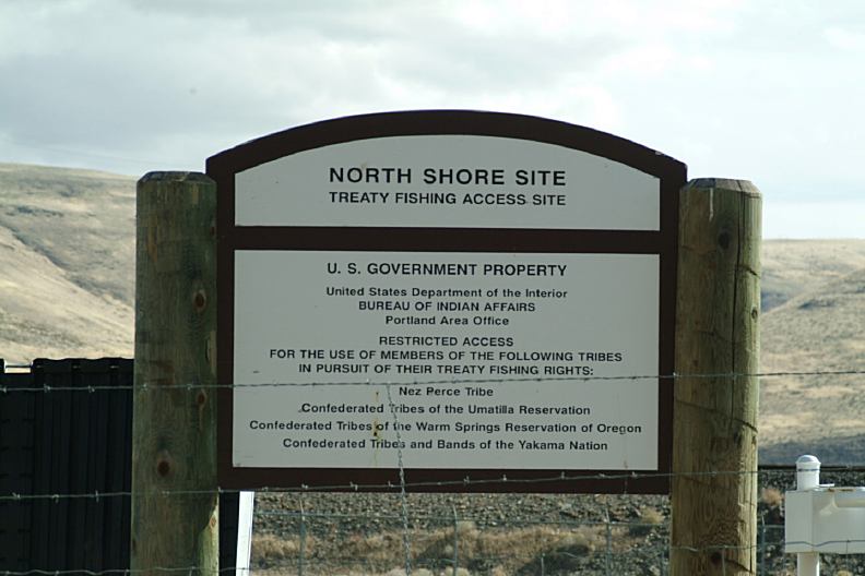
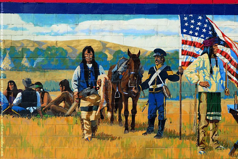
Peace Treaty of 1855

Peace Treaty of 1855

By R.E. Pierce and Don Prechtel
Peace Treaty of 1855
Tum-A-Lum Lumber Company
811 E.2nd
The Dalles, OR

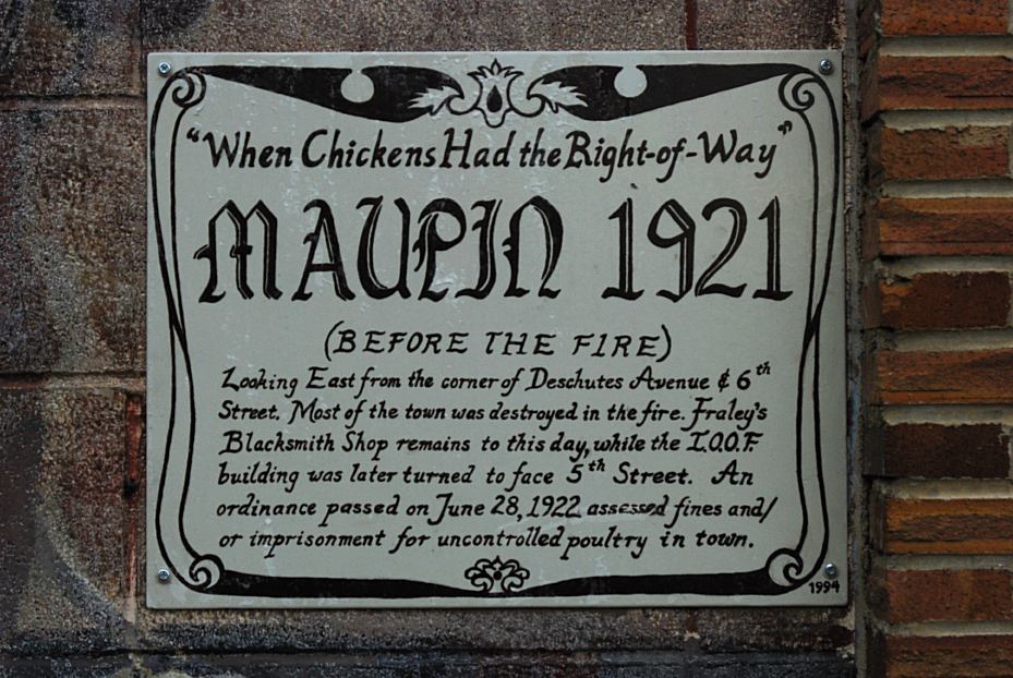
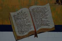
Maupin 1921

Maupin 1921
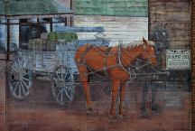
Maupin 1921
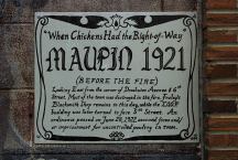
MAUPIN 1921
Mural painted on side of
Deschutes Angler Fly Shop
Hwy.191 in Maupin, OR
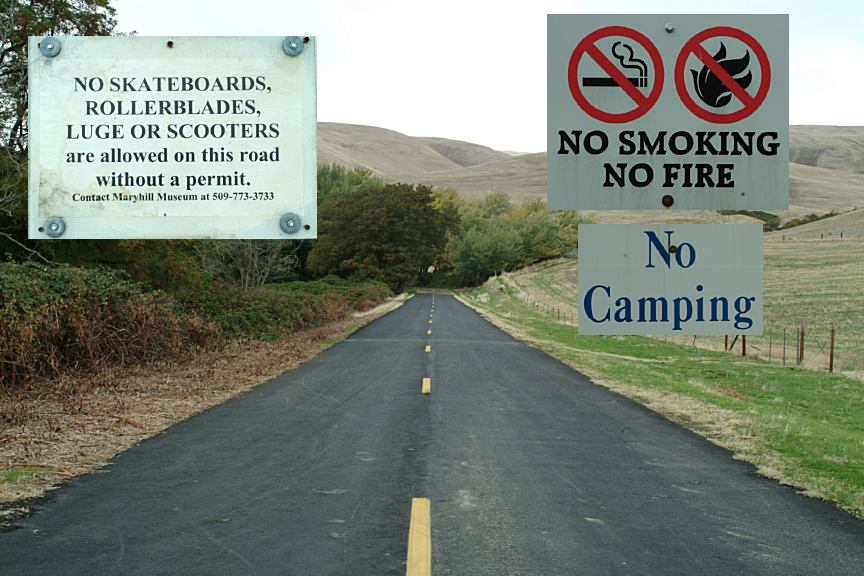
CAMPGROUND INDEX
Complete free campground listing
CAMPING ADVICE AND TIPS
TOURIST
PHOTOS

www.eugenecarsey.com
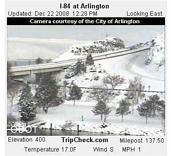
Camped here October 19, 2007
Camped here January 14, 2008
It snowed here a couple times this year.
It only lasted a couple days. Several times
the Interstates and roads have been closed.
Camped here Feb. 22, 2008
Camped here March 16, 2008
Camped here December 8, 2008
Camped here March 29, 2009
www.dispersedcampgrounds.com
Free campgrounds and camping
WASHINGTON CAMPGROUND DIRECTORY
COLUMBIA RIVER GORGE SCENIC AREA
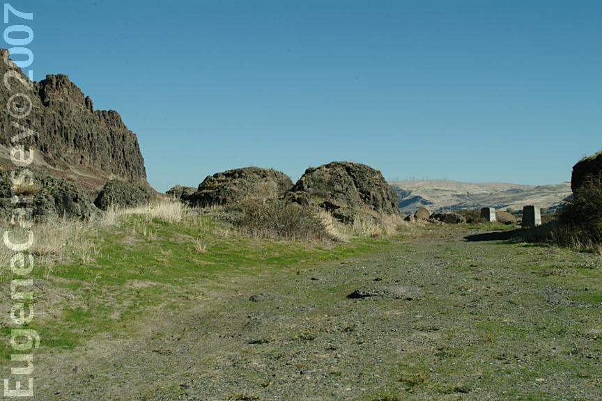
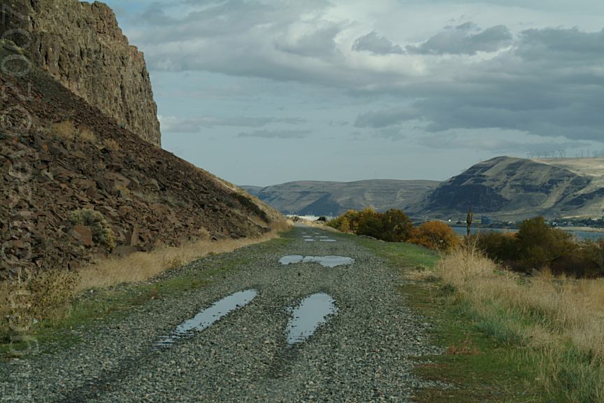
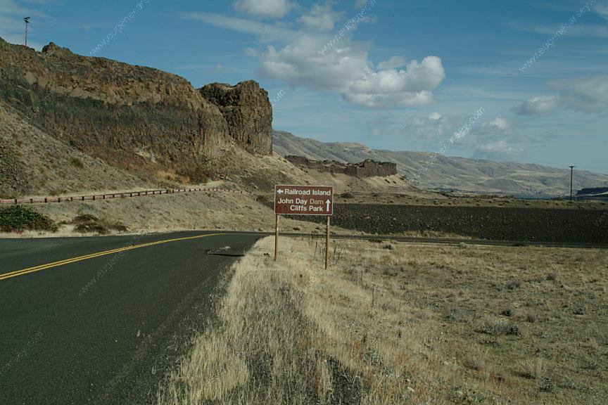
CLIFFS PARK
|