|
DIRECTIONS:
From
Hwy. 97 North to Hwy.907
Take Hwy.907 / MP7
Turn at Teanaway Road
Campground is 12.8 miles

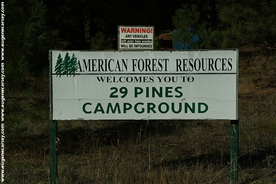
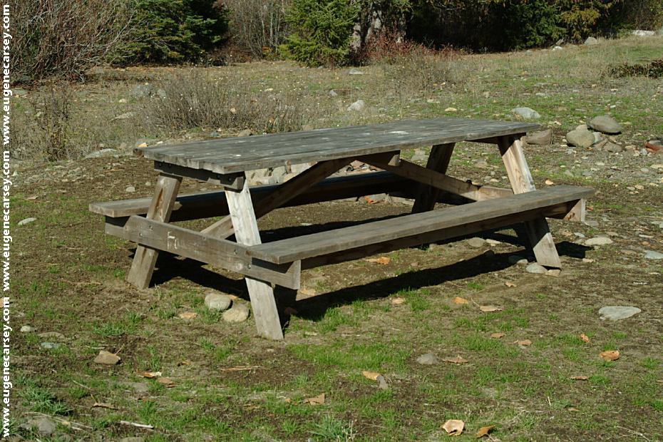
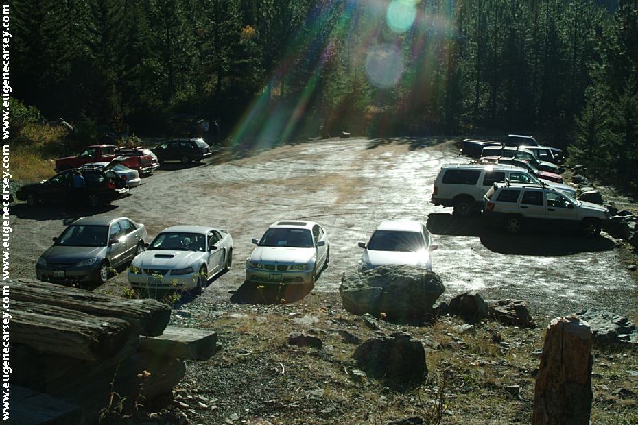
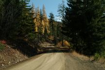
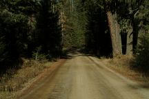
Road at 29 Pines Campground
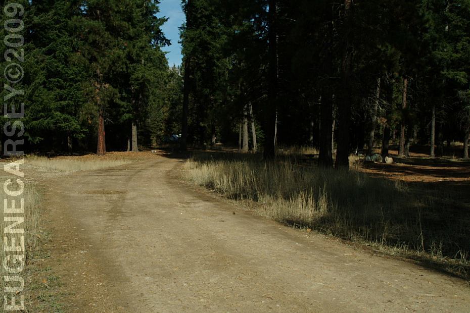
ROAD CONDITIONS:
The main Highway is paved
Campground is dirt and rougher
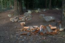
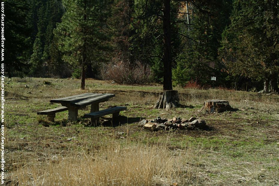
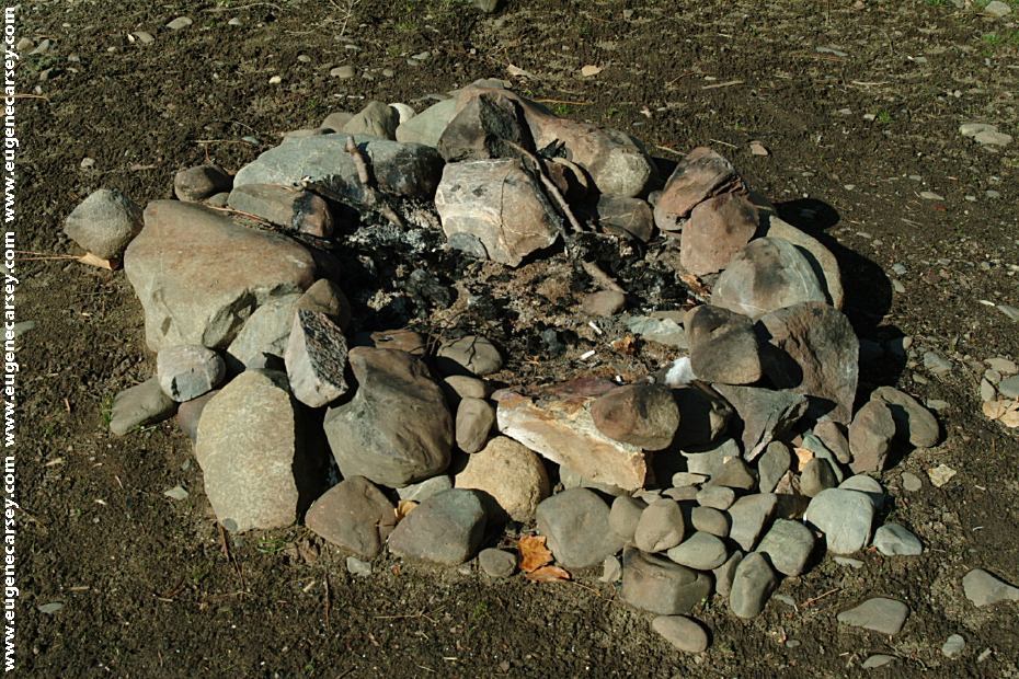
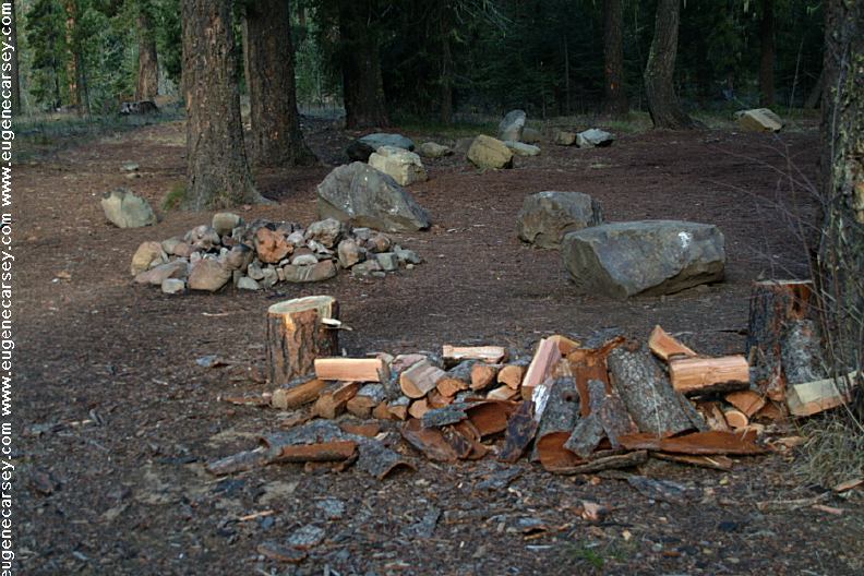
Dispersed Campsite
Notice all the firewood for the next person...
There are several great dispersed campsites
if you continue on Road#9737 past 29 Pines
Campground towards Beverly Campground
and Esmeralda Trailhead.
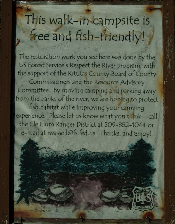
Free Walk-In Tent Camping
Johnson Medra Trail#1383
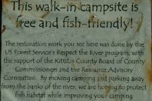
Free Walk-In Tent Camping
Johnson Medra Trail#1383
JOHNSON MEDRA TRAIL#1383
LATITUDE: N 47°22.785
LONGITUDE: W 120°53.135
Walk-In Campsites and Parking Area
A short distance past Beverly Campground
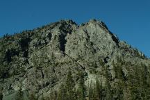
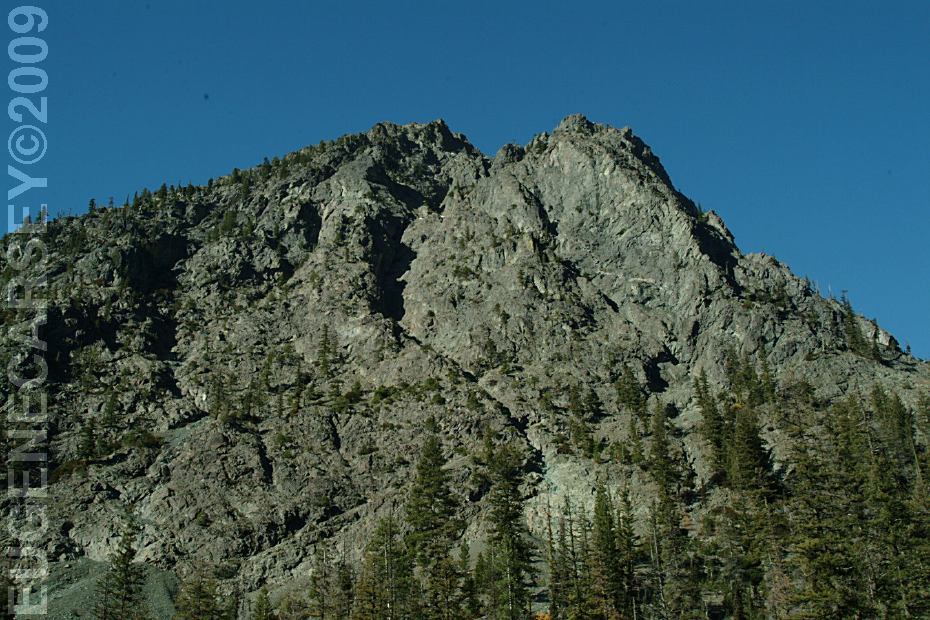
View from Esmeralda Trailhead
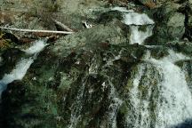
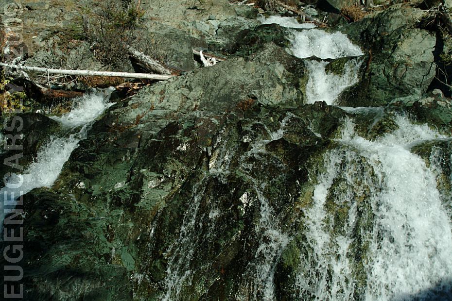
Waterfall at Esmeralda Trailhead
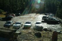
Esmeralda Trailhead Parking Area
ESMERALDA TRAILHEAD
LATITUDE: N 47°26.239
LONGITUDE: W 120°56.233
From 29 Pines take Road#9737 for 10 miles
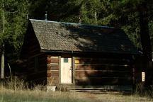
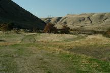
Old Building...
We didn't mark the exact location when taking
photos, but it is somewhere near 29 Pines and
Teanaway Campgrounds.
Road#9738
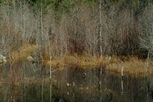
Marsh
We didn't mark the exact location when taking
photos, but it is somewhere near 29 Pines and
Teanaway Campgrounds.

Teanaway Campground
TEANAWAY CAMPGROUND
LATITUDE: N 47°15.236
LONGITUDE: W 120°53.538
On West Fork Teanaway Road
Teanaway Mercantile
509-674-6957
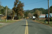
Liberty Historic Townsite near Williams Campground
WILLIAMS
CAMPGROUND
A couple miles north on Hwy.97
Turn towards Liberty Historic Townsite
Road#9737 to Beverly Campground

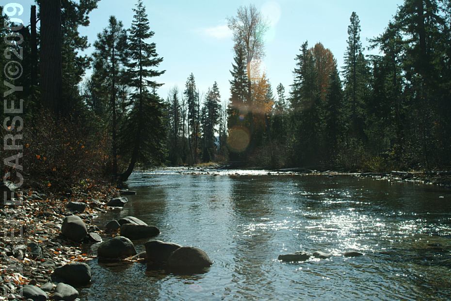
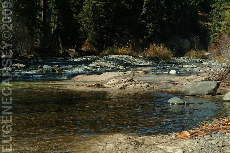
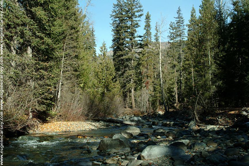
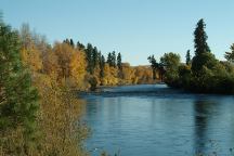
Beverly River????
Could be Teanaway River or?????
Viewed from Beverly Campground
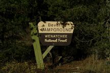
Beverly Campground
BEVERLY CAMPGROUND
Fee Area / Free in the off season
Wenatchee National Forest
LATITUDE: N 47°22.611
LONGITUDE: W 120°52.910
4 miles past 29 Pines C.G. on Road#9737
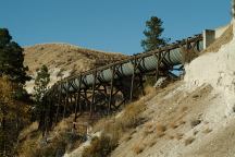
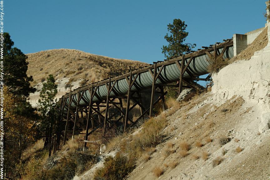
Old Aqueduct on Highway 10
xx River from Highway 10

Highway 10
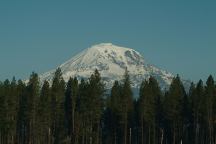
Mount Adams
Elevation 12,307'
Viewed south from Glenwood, WA
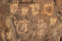
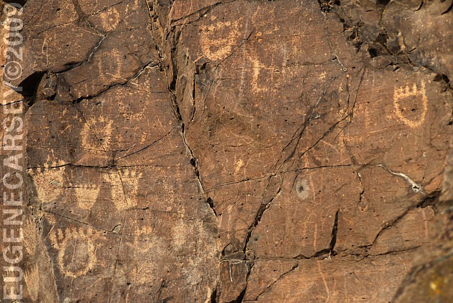
John Day Dam Petroglyphs
Indian Petroglyphs at Cliffs Park
JOHN
DAY DAM PETROGLYPHS
LATITUDE: N 45°42.981
LONGITUDE: W 120°42.272
From the fishing platform nearest to
John Day Dam walk along the river
towards the lock. The petroglyphs
are on the cliff face. There are Bear
Paws and other symbols.
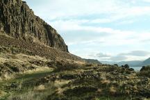
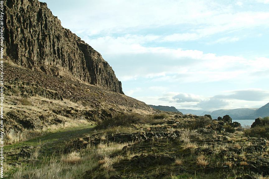
Columbia River from Cliffs Park
CLIFFS
PARK
LATITUDE: N 45°42.819
LONGITUDE: W 120°42.718
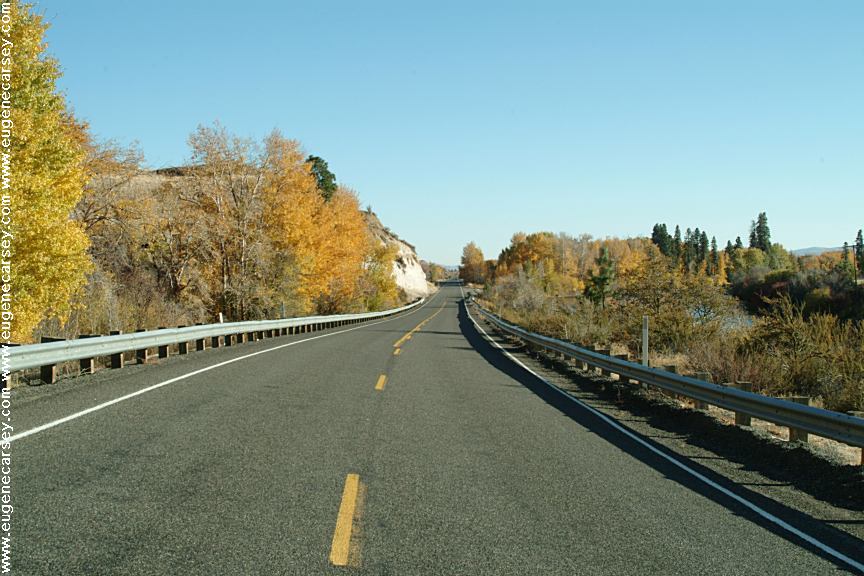
West on Hwy.14 at the John Day Dam
Road follows the Columbia River for several
miles with dispersed campsites. Incredible
scenery...
Rock Creek Boat Ramp
ROCK
CREEK BOAT RAMP
LATITUDE: N 45°43.165
LONGITUDE: W 120°27.649
Hwy.14 / Milepost 121
Take Rock Creek Road for xx miles
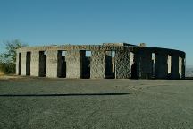
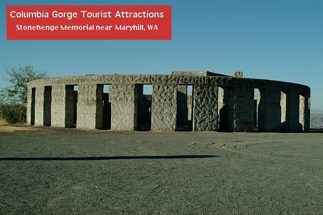
Stonehenge Memorial
STONEHENGE
MEMORIAL
LATITUDE: N 45°41.660
LONGITUDE: W 120°48.380
Hwy.14 east from Maryhill, WA
Stonehenge Memorial is a replica of
the Stonehenge Monument in England...
Built by Samuel Hill as a memorial to
Klickitat County soldiers who lost their
lives in World War One. Construction
was completed in 1929.
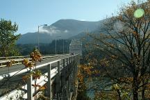
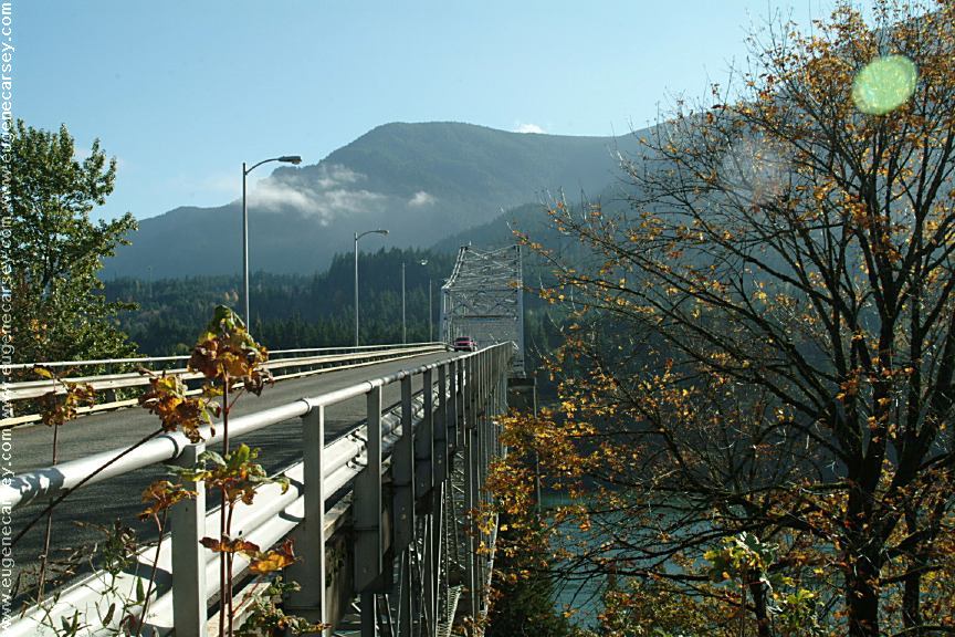
Bridge of the Gods
Columbia River west from Stevenson, WA
Also see: AVERY PARK
Also see: CLIFFS
PARK
Also see: FRENCH
GLEN
Also see: GLENWOOD-GOLDENDALE
Also see: MOUNT
SAINT HELENS
Also see: ROCK CREEK BOAT RAMP
Also see: RUFUS
LANDING
Also see: SUNDALE
PARK
Also see: TEANAWAY
CAMPGROUND
Also see: WILLIAMS
CAMPGROUND
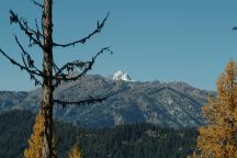
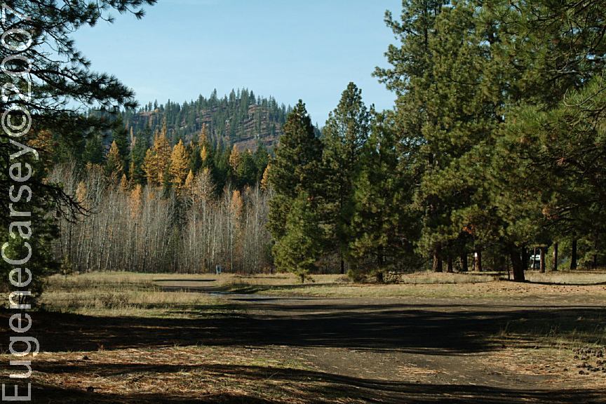
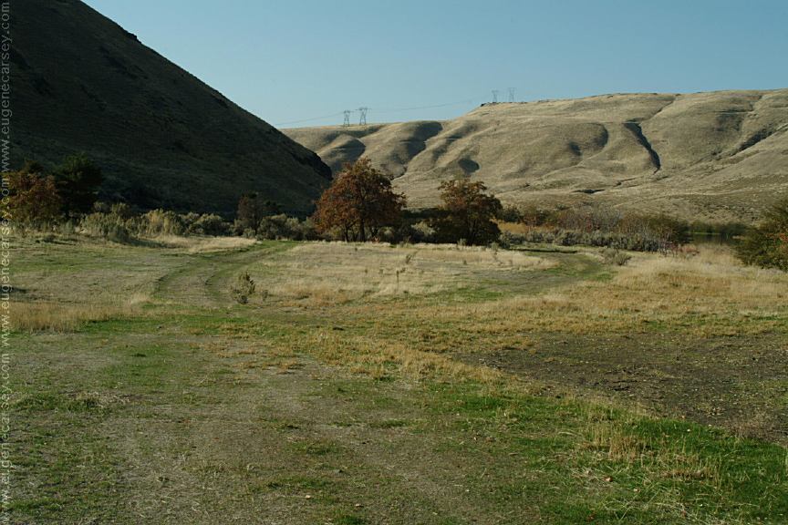
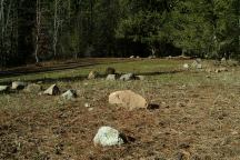
View from Road#9738
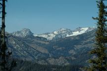
View from Road#9738
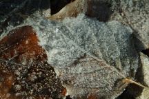
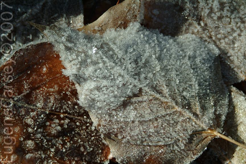
Frost on the fallen leaves...
October 28, 2007
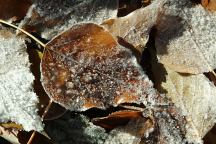
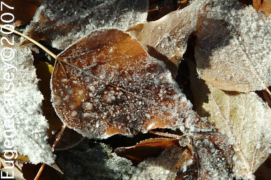
Frost on the fallen leaves...
October 28, 2007
Frost on the fallen leaves... it was cold last
night. Check the weather forecast before
camping here in winter. Don't get snowed
in or anything crazy.
CAMPGROUND INDEX
Complete free campground listing
CAMPING ADVICE AND TIPS
TOURIST
PHOTOS
Camped here October 26, 2007

www.eugenecarsey.com
dispersedcampgrounds.com
Free campgrounds and camping
www.dispersedcampgrounds.com
WASHINGTON CAMPGROUND DIRECTORY
NORTH FORK TEANAWAY RIVER
29 PINES CAMPGROUND
|