|
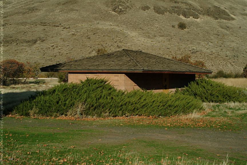
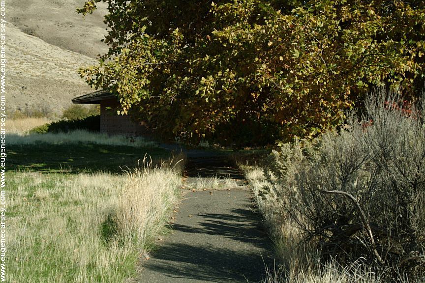
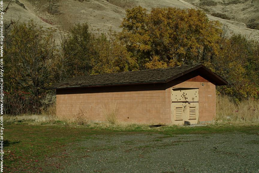
Showers at Maryhill State Park and Historic
Site
$.50 for 3 minutes. (Need to use quarters)
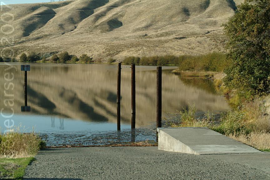
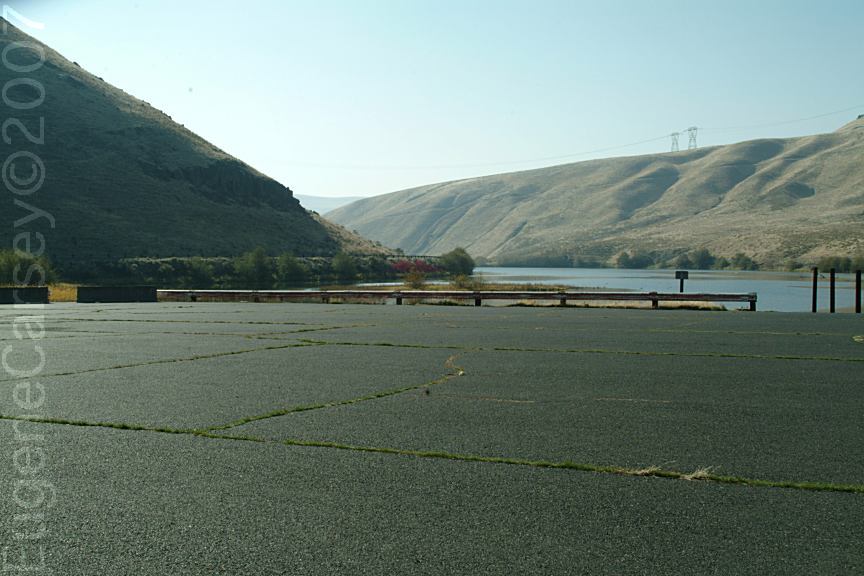
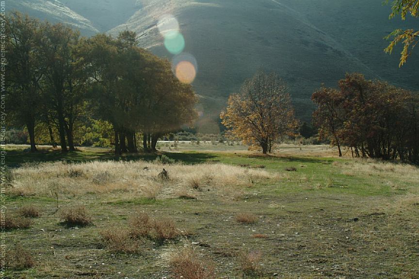
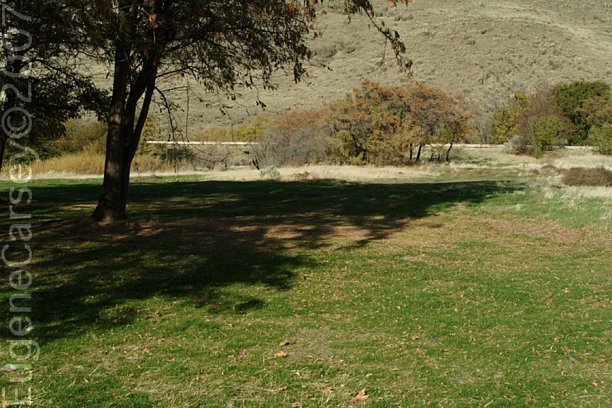
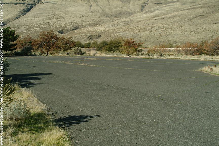
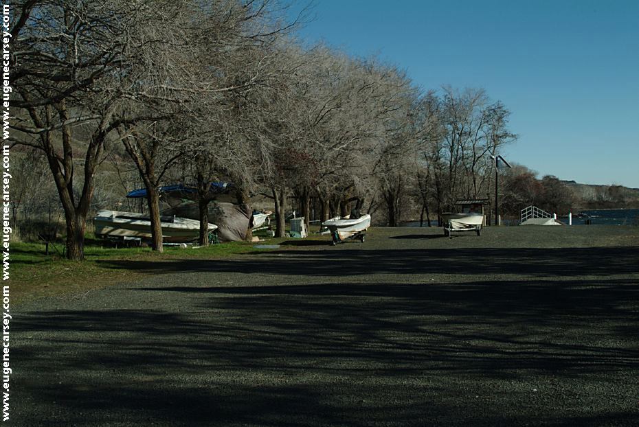
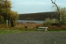
Free Day Use Area and Parking

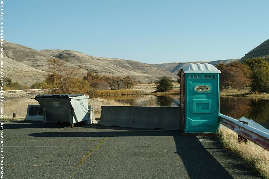
Lock at John Day Dam
Maryhill, WA
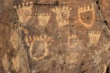
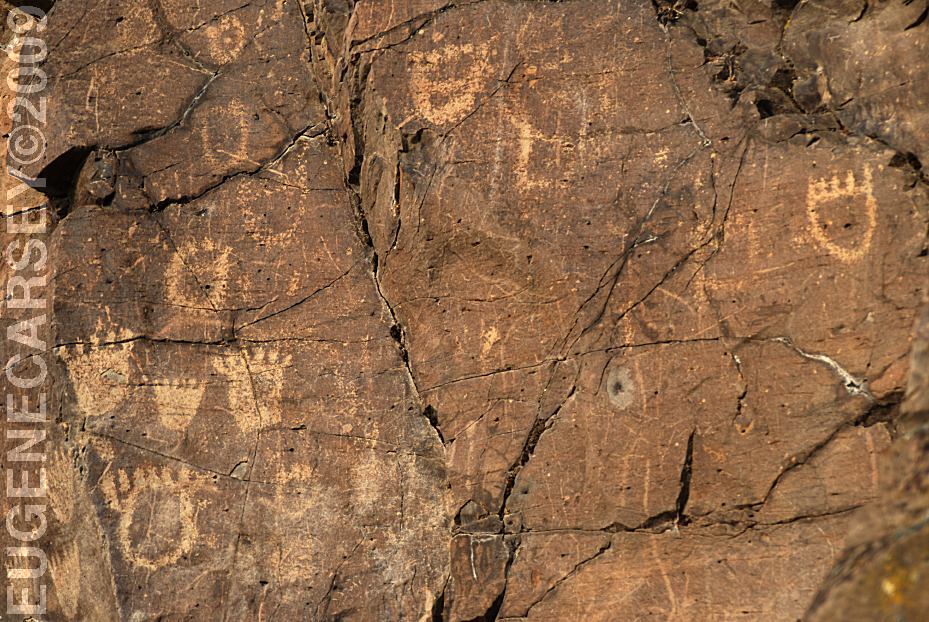
John Day Dam Petroglyphs
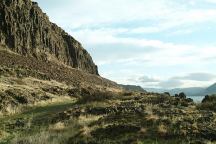
Indian Petroglyphs at Cliffs Park
JOHN
DAY DAM PETROGLYPHS
LATITUDE: N 45°42.981
LONGITUDE: W 120°42.272
From the fishing platform nearest to
John Day Dam walk along the river
towards the lock. The petroglyphs
are on the cliff face. There are Bear
Paws and other symbols.

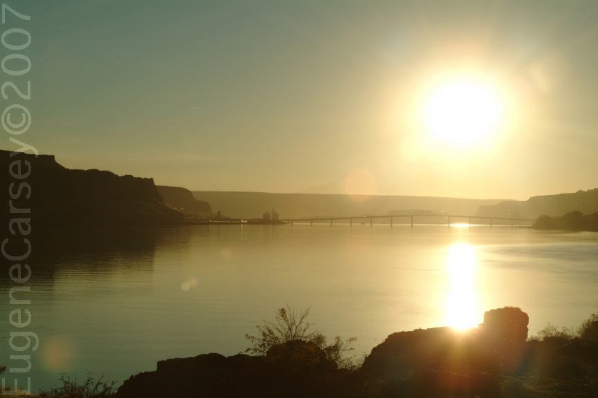
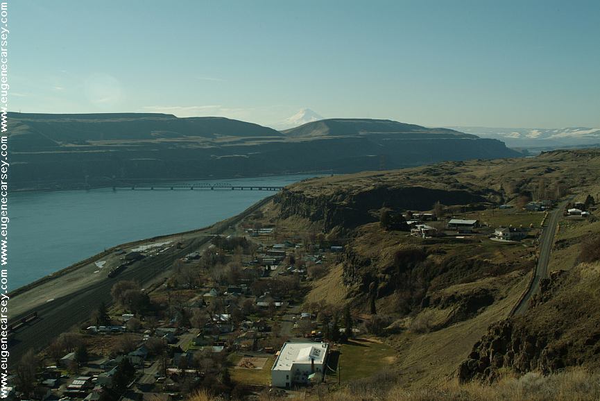
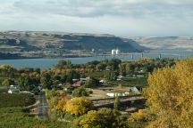
Samuel Hill Memorial Bridge.
Built in 1962
Hwy.97 over the Columbia River
Viewed from Cliffs Park at the first campsite
east of Maryhill, WA
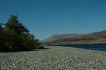
Columbia River from Cliffs Park
CLIFFS
PARK
LATITUDE: N 45°42.819
LONGITUDE: W 120°42.718
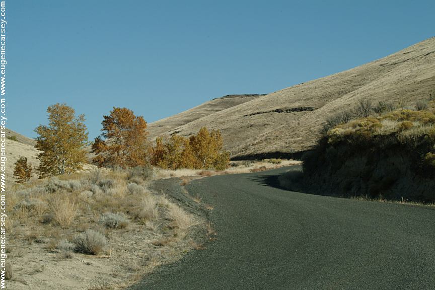
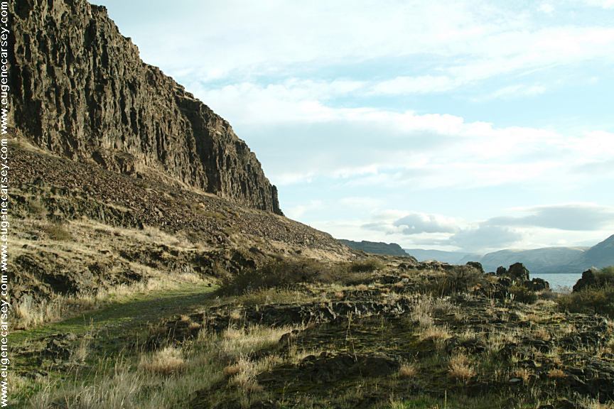
West on Hwy.14 at the John Day Dam
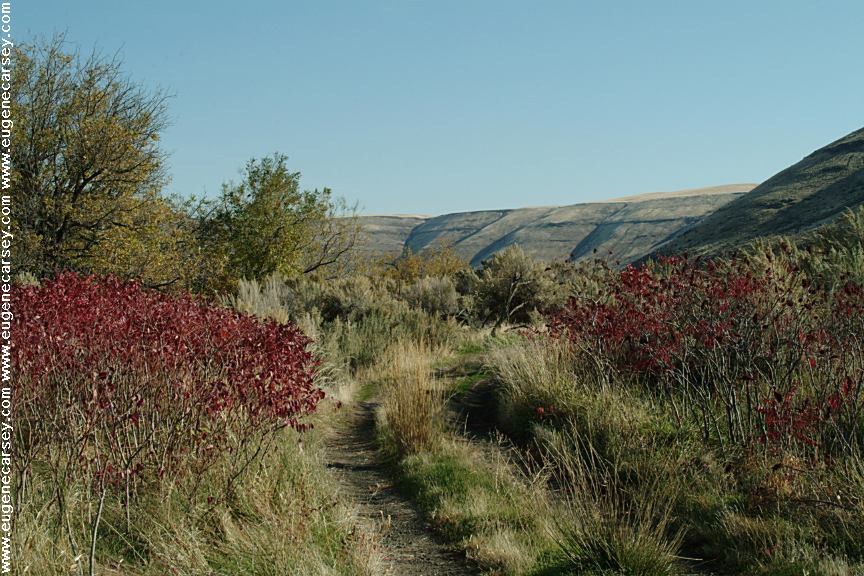
Road follows the Columbia River for several
miles with dispersed campsites. Incredible
scenery...
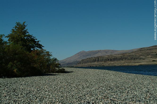
Columbia River Gorge from Rufus Landing
On the Oregon side of the Columbia River
Opposite side of river from Cliffs Park
RUFUS
LANDING
LATITUDE: N 45°41.593
LONGITUDE: W 120°45.288
Dispersed and primitive camping on the
Oregon side of the Columbia River
opposite of Cliffs Park.
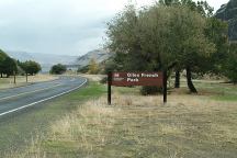
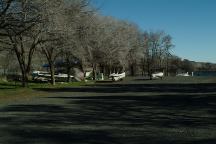
French Glen and Giles French Park
FRENCH GLEN
LATITUDE: N 45°42.175
LONGITUDE: W 120°43.466
Dispersed and primitive camping on the
Oregon side of the Columbia River
opposite of Cliffs Park.
Avery Park and Fishing Treaty Site
AVERY PARK
LATITUDE: N 45°39.748
LONGITUDE: W 121°02.117
Hwy.14 between milepost 89-90
(3 miles west from Wishram, WA)
Sundale Park and Fishing Treaty Site
SUNDALE PARK
LATITUDE: N 45°43.134
LONGITUDE: W 120°18.924
Indian Fishing Treaty Access Site
Hwy.14 at milepost 128
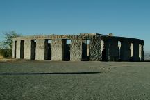
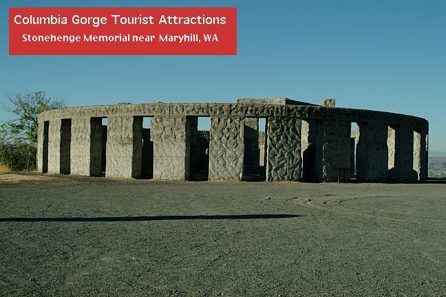
Stonehenge Memorial
STONEHENGE
MEMORIAL
LATITUDE: N 45°41.660
LONGITUDE: W 120°48.380
Hwy.14 east from Maryhill, WA
Stonehenge Memorial is a replica of
the Stonehenge Monument in England...
Built by Samuel Hill as a memorial to
Klickitat County soldiers who lost their
lives in World War One. Construction
was completed in 1929.
War Memorial
The War Memorial is dedicated to...
Next to Stonehenge Memorial

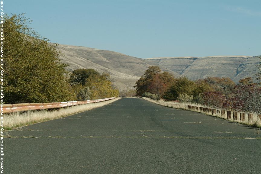
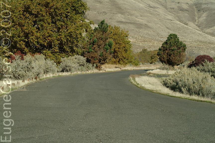
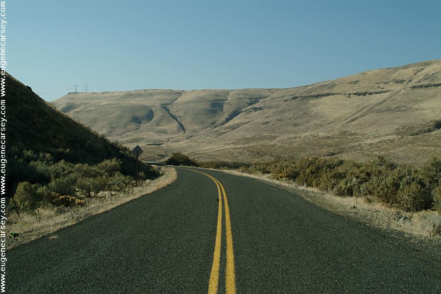
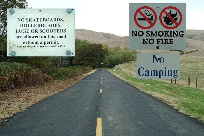
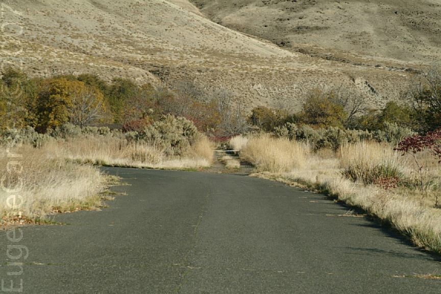
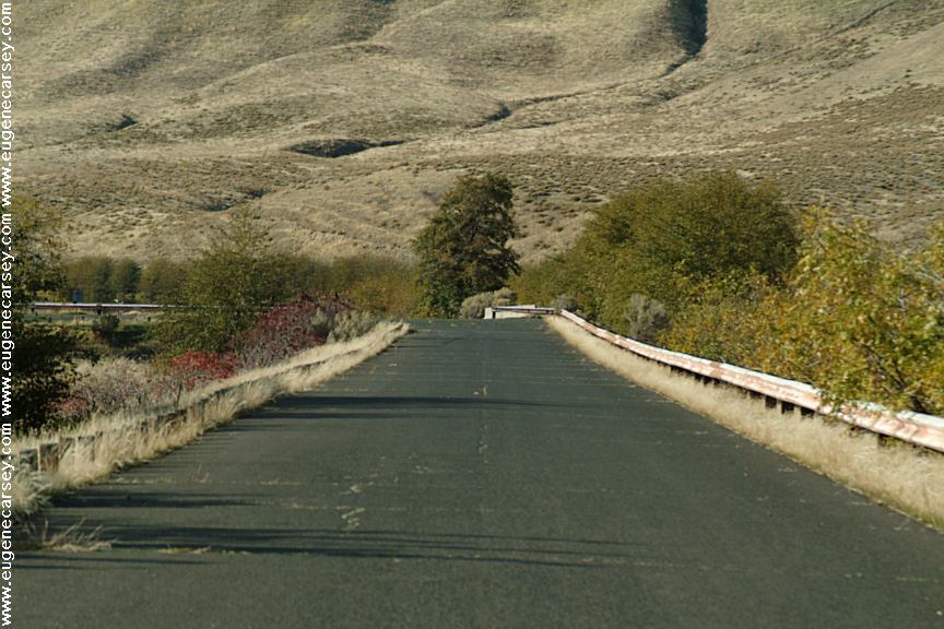
Maryhill Loops Road
MARYHILL LOOPS ROAD
Maryhill Loops Road was the first paved
road in America. Closed to cars and now
a skateboard mecca. Hwy.14 about 1/4 mile
east from Stonehenge.
|