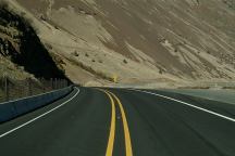
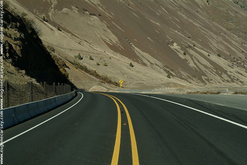
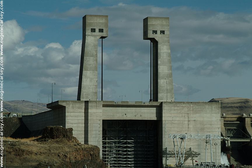
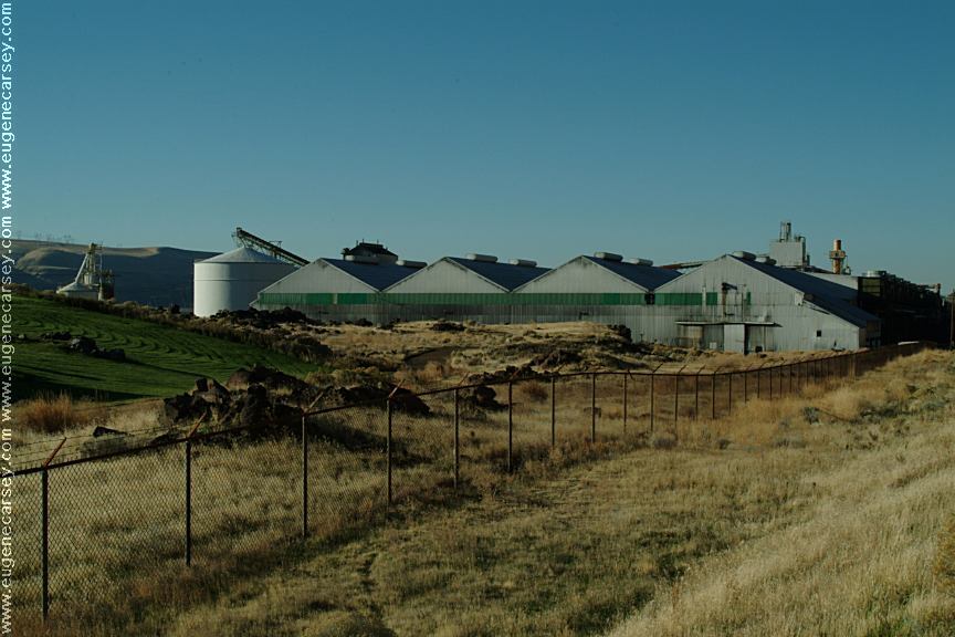
JOHN DAY DAM PETROGLYPHS
Washington Tourist Guide and Destinations
Columbia River Gorge Scenic Area
Cliffs Park Dispersed Camping Area
LATITUDE: N 45°42.981
LONGITUDE: W 120°42.272
Elevation around 170'

Petroglyphs at John Day Dam
(This thumb print has been altered. We squeezed
an extra petroglyph in the 3" x 2" thumbnail photo.
Click image for actual unaltered photo)

No one is certain what the Bear Paw
Petroglypghs represent. The theory is
that they could be symbols from successful
bear hunts.

Petroglyphs at John Day Dam
This is one of the first petroglyphs you will see
when walking along the cliff face.
4.5"W x 6"H

There are over 60 bear paw petroglyphs
(Just a preliminary count and estimation).
Average size about 4 - 6 inches

Petroglyphs at John Day Dam
Cliff and Rock Formation with Petroglyphs.
Petroglyphs are about half way up cliff face

It would be interesting to know how the
Indians made the petroglyphs half way
up the cliff face. Did they use ladders or
a scaffolding system... things we might
never have proof. More questions that
will probably be unanswered.

Lock at John Day Dam

Lock at John Day Dam
Lock at John Day Dam viewed from the
rock formations near the petroglyphs.

Lock at John Day Dam
Lock at John Day Dam viewed from the
rock formations near the petroglyphs.

The rock formations with the petroglyphs are
in the channel of the lock at John Day Dam.

Aerial Image of John Day Dam
Image Source:
USACE Digital Visual Library

Homeland security is watching you and
don't be surprised if Law Enforcement stops
to check what your doing in this area.

The best photos were in the morning
March 30, 2009

Do not touch the petroglyphs.
Take photos only....

We have been able to find limited information
about these petroglyphs. Will update this page
as we know more details...

Highway 14 near MP7
Hwy.14 / MP107

Aluminum Company
Aluminum Company
Hwy.14 at the exit to John Day Dam

DIRECTIONS:
From John Day Dam
Washington Hwy.14 / MP 108.2
Turn towards John Day Dam
Follow signs towards Cliffs Park
Just before the pavement ends there is
a dirt road towards the river. About 200'
the road is blocked to motor vehicles.
Park here and it is just a short walk.

ROAD CONDITIONS:
Mostly paved surfaces...
Easy access for most vehicles
The road to the petroglyphs has been
blocked with large boulders and cable.
It is just a short walk from the parking area.

ODOT Road Cams
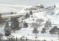
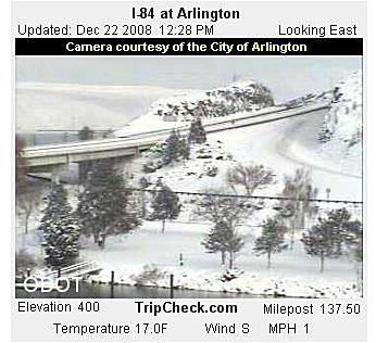
Photo taken from ODOT Road Cams
December 21, 2008

While the weather is more moderate in
this area it can and does snow in winter.
Usually the snow only last a couple days.

Columbia River
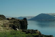
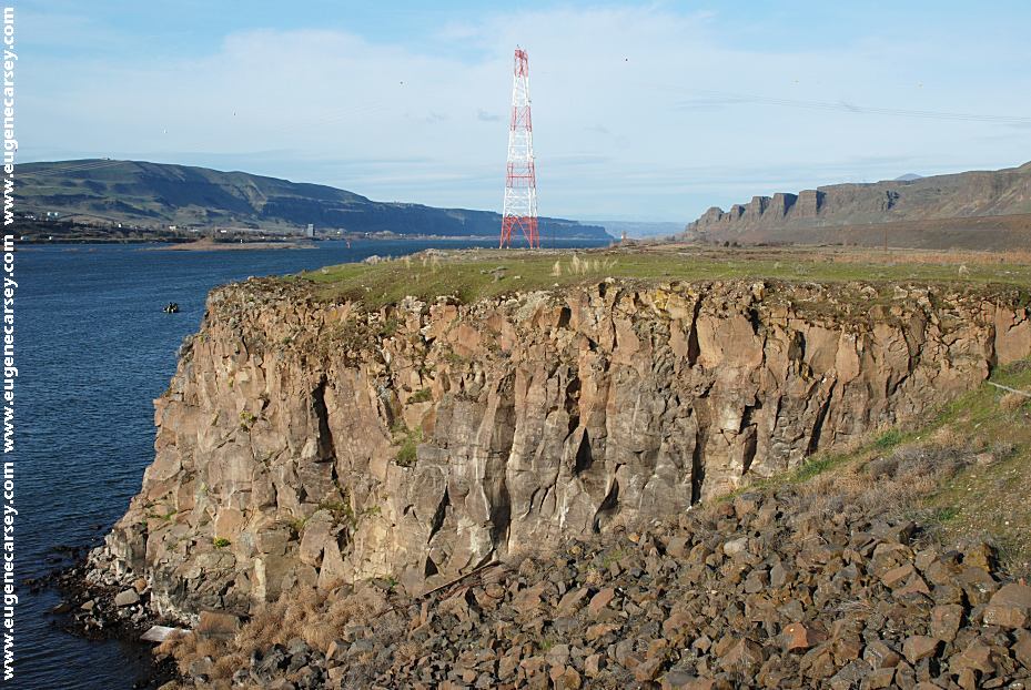
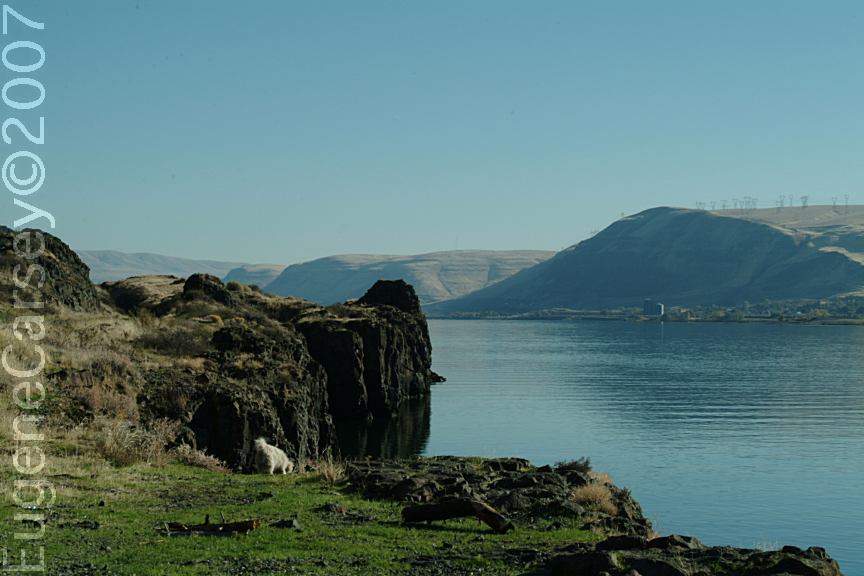
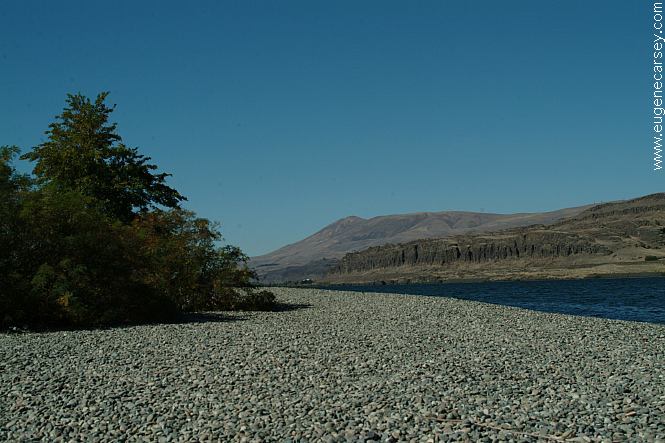
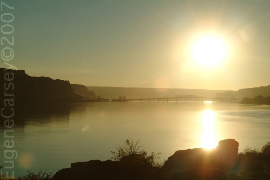
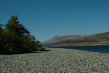
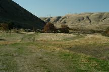
Columbia River viewed from Cliffs Park

CLIFFS PARK
LATITUDE: N 45°42.819
LONGITUDE: W 120°42.718
(GPS from outhouse near John Day Dam)
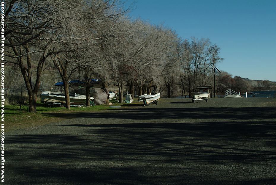
Dispersed camping along the Columbia River
going west from John Day Dam Petroglyphs.

Giles French Park
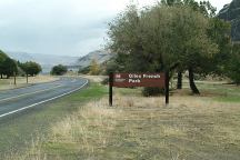
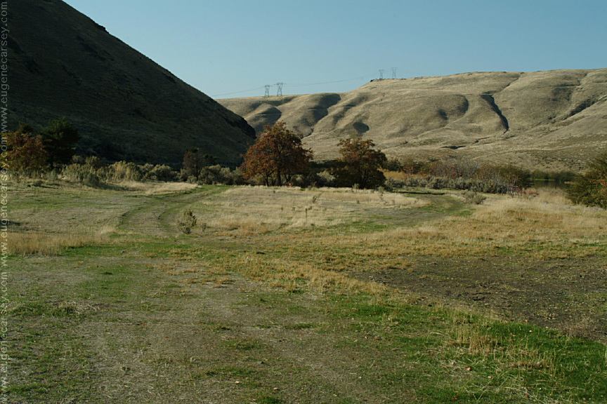
French Glen and Giles French Park

FRENCH GLEN
LATITUDE: N 45°42.175
LONGITUDE: W 120°43.466
Free dispersed camping on the Oregon side
of the Columbia River from John Day Dam.

Columbia River from Rufus Landing
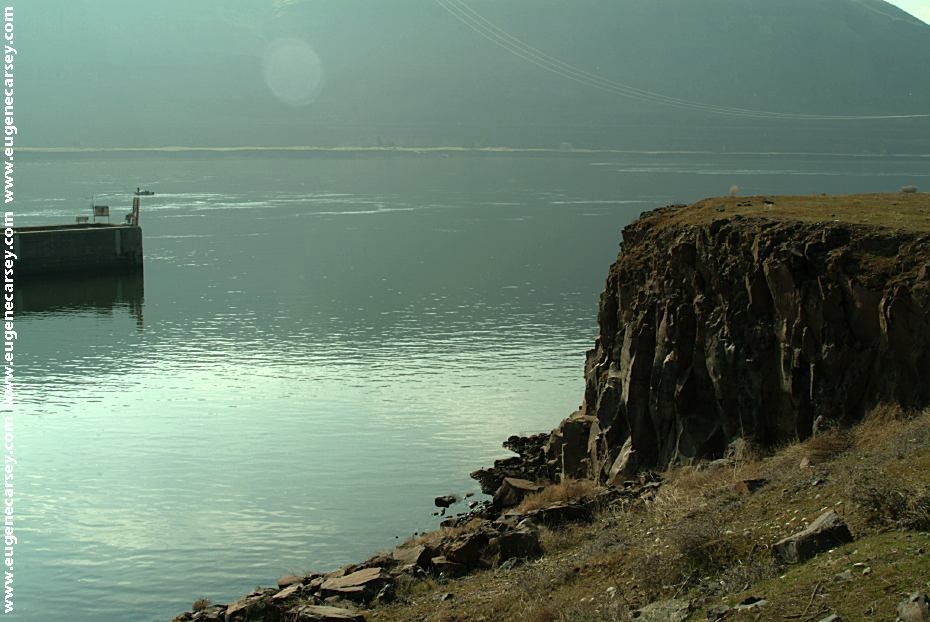
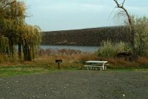
Columbia River Gorge from Rufus Landing
On the Oregon side of the Columbia River
Opposite side of river from Cliffs Park

RUFUS LANDING
LATITUDE: N 45°41.593
LONGITUDE: W 120°45.288
Free dispersed camping on the Oregon side of
the Columbia River from Cliffs Park.

Avery Park and Indian Fishing Treaty Site
Avery Park and Fishing Treaty Site

AVERY PARK
LATITUDE: N 45°39.748
LONGITUDE: W 121°02.117
Hwy.14 between milepost 89-90
(3 miles west from Wishram, WA)

Sundale Park and Fishing Treaty Site

SUNDALE PARK
LATITUDE: N 45°43.134
LONGITUDE: W 120°18.924
Indian Fishing Treaty Access Site
Hwy.14 at milepost 128

Camp Area at Rock Creek Boat Ramp
Rock Creek Boat Ramp

ROCK CREEK BOAT RAMP
LATITUDE: N 45°43.165
LONGITUDE: W 120°27.649
Hwy.14 / Milepost 121
Take Rock Creek Road for xx miles
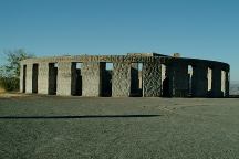
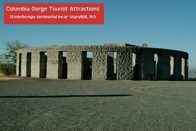
Stonehenge Memorial
Stonehenge Memorial

STONEHENGE MEMORIAL
LATITUDE: N 45°41.660
LONGITUDE: W 120°48.380
Hwy.14 east from Maryhill, WA
Stonehenge Memorial is a replica of
the Stonehenge Monument in England...
Built by Samuel Hill as a memorial to
Klickitat County soldiers who lost their
lives in World War One. Construction
was completed in 1929.

Samuel Hill Memorial Bridge
Samuel Hill Memorial Bridge.
Built in 1962
Hwy.97 over the Columbia River
Viewed from from Cliffs Park from the
first campsite east of Maryhill, WA

Train
Train viewed from Cliffs Park

PHOTO HERE
Tug boat pushing barges full of gravel

Wishram Washington
Wishram, WA

Stone House on Highway 14
Stone House on Hwy.14 / Milepost 85
Near Horse Thief State Park

TOURIST PHOTOS

CAMPGROUNDS IN THE USA
Free campgrounds in the USA

Copyright Notice
www.eugenecarsey.com