http://www.dispersedcampgrounds.comhttp://www.eugenecarsey.com

Free camping and campgrounds
CALIFORNIA CAMPGROUND DIRECTORY
SHASTA LAKE
SHASTA-TRINITY NATIONAL FOREST
Whiskeytown-Shasta-Trinity National Rec. Area
Dispersed and Primitive Camping

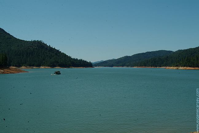
Shasta Lake is famous for houseboats.
In years past you used to see them
everywhere on the lake. Water skiing
and boating is very popular.

The Craggs
The Crags

Mount Shasta
Mount Shasta

DISPERSED CAMPING
Shasta lake has several hundred miles of shoreline
that you are permitted to camp.

Fenders Ferry Road
Fenders Ferry Road
(Three bridges in above image)

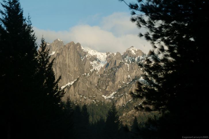
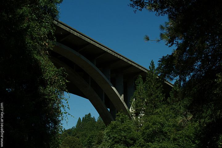
There is a primitive camp next to the bridge.
About 1/4 mile west from I-5 on Dog Creek Road,
turn on Fenders Ferry Road / 34N17. Cutting down
the canyon to the Upper Sacramento River, Fenders
Ferry Road continues towards McCloud Campground.
It the joins together with Road#27, eventually connecting
to Hwy.299 between Round Mountain and Montgomery
Creek.

Fenders Ferry Road Bridge
Fenders Ferry Road

Fenders Ferry Road Bridge
Fenders Ferry Road / Interstate 5 Bridge

Dekkas Rock
Dekkas Rock / Day Use Area

Dekkas Rock
Dekkas Rock / Day Use Area

Dekkas Rock
Dekkas Rock / Day Use Area

Dekkas Day Use and Picnic Area
has drinking water and garbage.
6am - 10pm
About xx miles from Jct. of I-5

Primitive camp 1/2 mile before McCloud Bridge

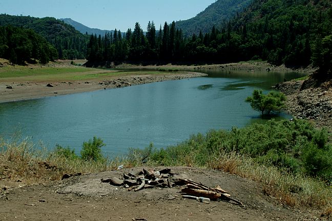
This primitive camp is about 1/2 mile before
McCloud Bridge. It is hard to spot, looks like
just a little pullout, but there is a road. The
road is only a couple hundred feet down
the hill. Level parking area.

Sacramento River from McCloud Bridge

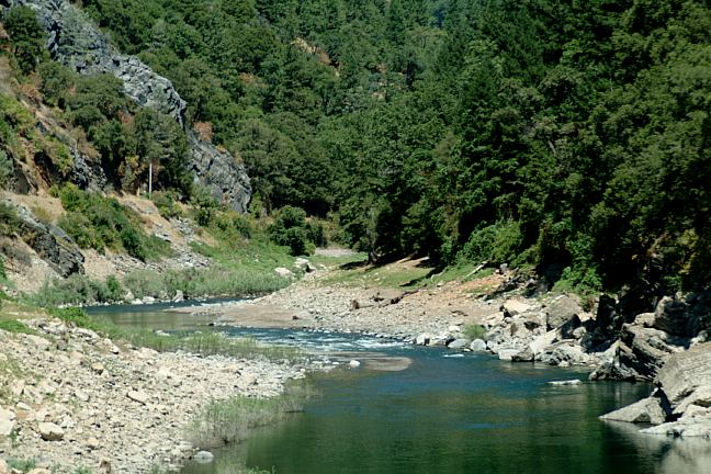
An 1/2 mile past McCloud Bridge on Fenders
Ferry Road, turn right Road#35N10Y. There
is a nice campsite near the junction.
Road#35N10Y leads down to the shores of
Shasta Lake, but you will need an 4x4 with
good tires and check the weather predictions.
There are several good campsites and firepits.

Camping Limited to 14 Days
Some areas might be posted for 7 Day Limits
Shoreline area use is limited to 14 days per year
Houseboats limited to 30 days per year
Houseboats permits required for longer stays???

IT IS YOUR RESPONSIBILITY TO KNOW
WHAT FIRE RESTRICTIONS ARE IN EFFECT
California Fire Permits Required

ESTABLISHED CAMPGROUNDS
Most campgrounds are open Memorial Day
through Labor Day. A couple remain open all
year, but most water systems are shut down.
ANTLERS CAMPGROUND
LAKESHORE EAST CAMPGROUND
Lake Shore Drive
BEEHIVE POINT CAMPGROUND
Lake Shore Drive
OLD MAN CAMPGROUND
Lake Shore Drive
GREGORY BEACH CAMPGROUND
GREGORY CREEK CAMPGROUND
NELSON POINT CAMPGROUND
LOWER SALT CREEK CAMPGROUND
Road#7HO01
HIRZ BAY CAMPGROUND
Gilman Road / McCloud River Arm
DEKKAS ROCK GROUP CAMP
Gilman Road / McCloud River Arm
MOORE CREEK CAMPGROUND
Gilman Road / McCloud River Arm
ELLERY CREEK CAMPGROUND
Gilman Road / McCloud River Arm
PINE POINT CAMPGROUND
Gilman Road / McCloud River Arm
McCLOUD BRIDGE CAMPGROUND
Gilman Road
MADRONE CAMPGROUND
Gilman Road to Road#27
BAILY COVE CAMPGROUND
JONES VALLEY INLET CAMPGROUND
JONES VALLEY CAMPGROUND
MARINERS POINT
Road#5JO050
SHASTA CAMPGROUND
Near Shasta Dam
Take Shasta Dam Blvd. / Road#151

Shasta Lake has several Boater's campgrounds.
The only access is with a boat...

SHASTA LAKE STATISTICS
Shasta Lake is the largest man-made reservoir
in California. Shasta Dam is the second largest
concrete dam in the United States. Constructed
between 1935 -1945. The lake was filled in 1948

Shore line
Surface Area
Capacity
Dam Height
Depth

370 miles
30,000 acres
4,550,000 acre feet
602 feet
517 feet

SHASTA CAVERNS
Over 250 million years old
From I-5 exit at Shasta Caverns / O'Brien
The caverns are privately owned.
Tours offered year round.
Call 530-238-2341

Shasta Dam
Shasta Dam

SHASTA DAM TOURS
530-275-4463

Shasta Lake has the largest population of
nesting bald eagles in California. Packers Bay,
Jones Valley, and Hirz Bay have designated
wildlife viewing sites. Eagles are sensitive during
their breeding season, from January through July

BEAR FACTS
Bears are common around Shasta Lake.

DIRECTIONS:
From Redding take I-5 north
From Yreka take I-5 south

MAP
These are our personal hand drawn maps
Not guaranteed for accuracy

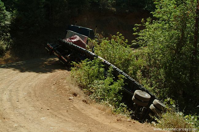
Truck blocking Road#27
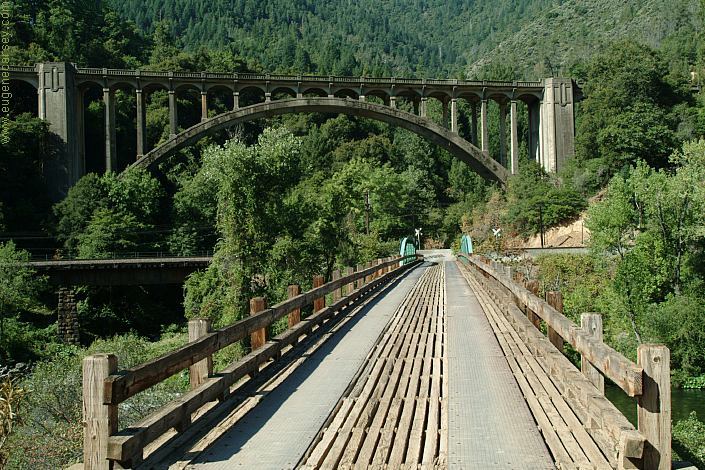
About 1.5 miles eastbound from McCloud Bridge.

The driver of this truck must of been scared...
The road is blocked and it doesn't seem like
any hurry to move it, most of the day passed
and it's getting into the evening.

Stuck in mud
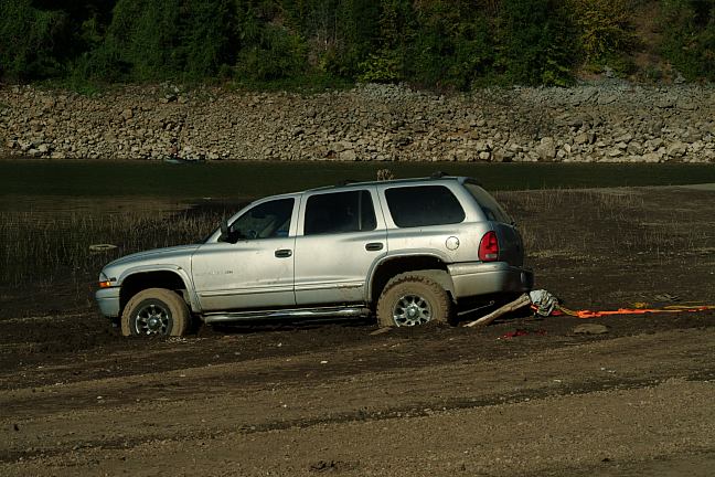
Don't drive in the mud
(Other side buried to bumper)
Road#35N10Y

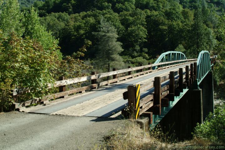
Geese from McCloud Bridge

Also see: ALGOMA CAMPGROUND
Also see:
FOUTS REC. AREA
Also see:
HIGHWAY 3 / COFFEE CREEK
Also see:
HIGHWAY 3 / HORSE FLAT
Also see:
INDIAN VALLEY RESERVOIR
Also see:
IRON CANYON RESERVOIR
Also see:
KNOXVILLE REC.AREA
Also see:
McCLOUD RESERVOIR
Also see:
SLAGGER CAMP
Also see:
STONY GORGE RESERVOIR
Also see:
TRINITY LAKE

CAMPGROUND INDEX
Complete free campground listing

CAMPING ADVICE AND TIPS

TOURIST PHOTOS

Copyright Notice
www.eugenecarsey.com

dispersedcampgrounds.com
Free campgrounds and camping
CALIFORNIA CAMPGROUND DIRECTORY
SHASTA LAKE
SHASTA-TRINITY NATIONAL FOREST