|
|


|
Free campgrounds and camping
Mendocino National Forest has over |
|
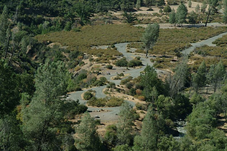
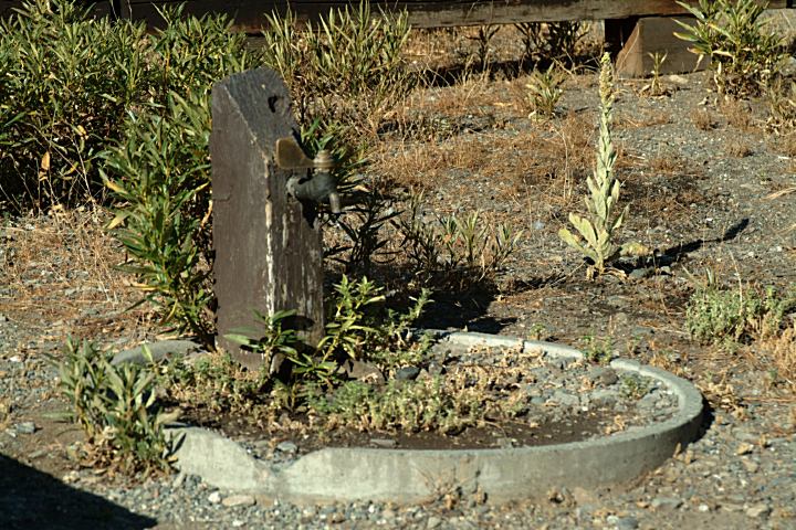
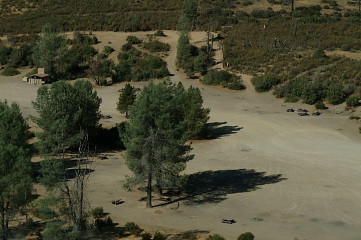
Fouts Recreation Area is a ATV staging area
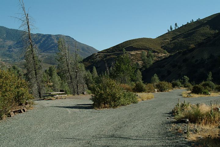
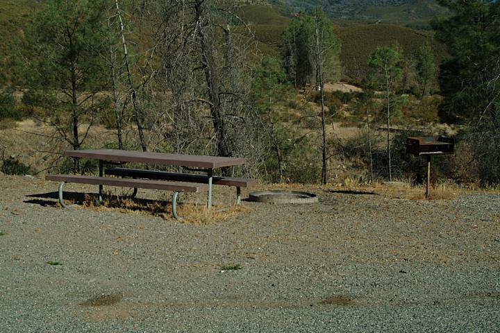
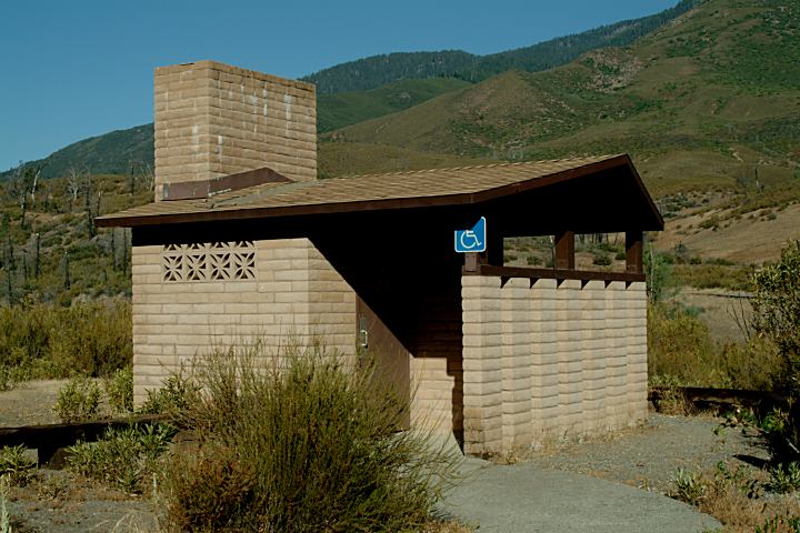
FOUTS SPRING CAMPGROUND MILL CREEK CAMPGROUND
DAVIS FLAT CAMPGROUND
NORTH FORK CAMPGROUND
Camping limit is 14 days at developed IT IS YOUR RESPONSIBILITY TO
KNOW |


|
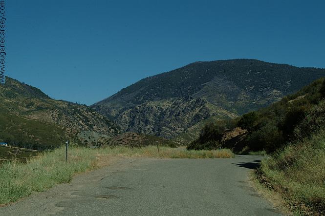
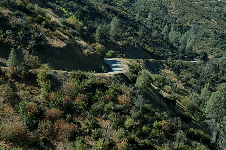
DIRECTIONS:
ROAD CONDITIONS:
MILEAGE CHART: It is recommended to buy a Least priced gas was in Williams, CA |

|
Mendocino National Forest has over
Also see: ALGOMA CAMPGROUND
Camped here July 6, 2005 FROM THE BLOG: CAMPGROUND INDEX dispersedcampgrounds.com |


