|
DIRECTIONS:
From Quartzsite take Hwy.95 north.
About 7 miles turn right on Plomosa Road
Plomosa Road between Milepost 11 - 12
(Arches can be viewed from the main road)
From Hwy 72 at Bouse, turn south towards
Bouse Community Park on Plomosa Road.
ROAD CONDITIONS:
Plomosa Road is maintained paved surface.
When traveling off-road in the desert,
know your vehicles limitations.
FLASH FLOOD AREA
Beware of weather conditions. Just use
common sense and there should be no
problems. Don't camp in washes or areas
you can see evidence of previous floods.
MAP
These are our personal hand drawn maps
Not guaranteed for accuracy
Purified/ Filtered drinking water in
Quartzsite.
Cheapest gas in Parker or Lake Havasu City.
DISPERSED CAMPGROUNDS:
Free dispersed campgrounds in the area...
Also see: ALAMO
LAKE
Also see: BETTY'S KITCHEN
Also see: BLAIR VALLEY
Also see: BOX CANYON
Also see: CARRIZO BADLANDS
Also see: CHOCOLATE MOUNTAINS
Also see: CIBOLA
/ COLORADO RIVER
Also see: CRAGGY
WASH
Also see: CRYSTAL
HILL
Also see: DOME ROCK MOUNTAIN
Also see: GLAMIS
Also see: GOLD NUGGET
ROAD
Also see: KING
VALLEY
Also see: LAKE
HAVASU
Also see: MOJAVE
DESERT
Also see: NEEDLE MOUNTAINS
Also see: ORGAN
PIPE CACTUS
Also see: OSBORNE
WASH
Also see: PAINTED CANYON
Also see: PAINTED
ROCK PETROGLYPH
Also see: PALM
CANYON
Also see: PALO
VERDE
Also see: SCADDAN WASH
Also see: SLAB CITY
Also see: SONORAN
DESERT
Also see: SWANSEA
TOWNSITE

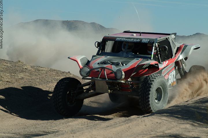
Parker 425 Desert Race
Feb.3, 2007
PARKER
425 DESERT RACE
Photos from Parker 425 Desert Race
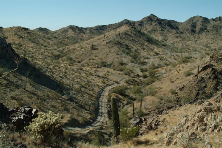
Osborne Wash Area
February 3, 2007
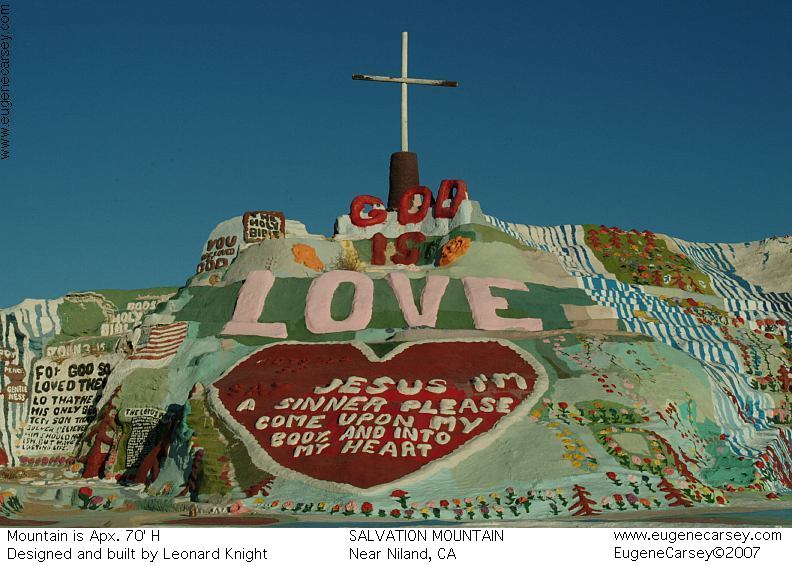
Salvation Mountain
SALVATION MOUNTAIN
Leonard Knight's Salvation Mountain
Take Hwy.111 south to Niland, CA
CAMPGROUND INDEX
Complete free campground listing
CAMPING ADVICE AND TIPS
TOURIST
PHOTOS

www.eugenecarsey.com
dispersedcampgrounds.com
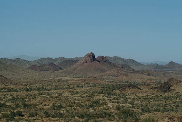
ARIZONA TOURIST GUIDE
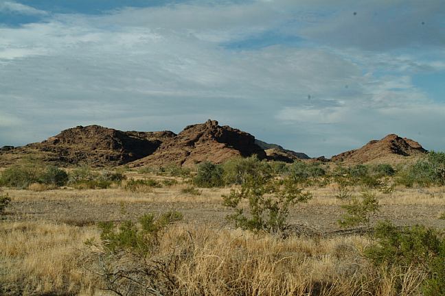
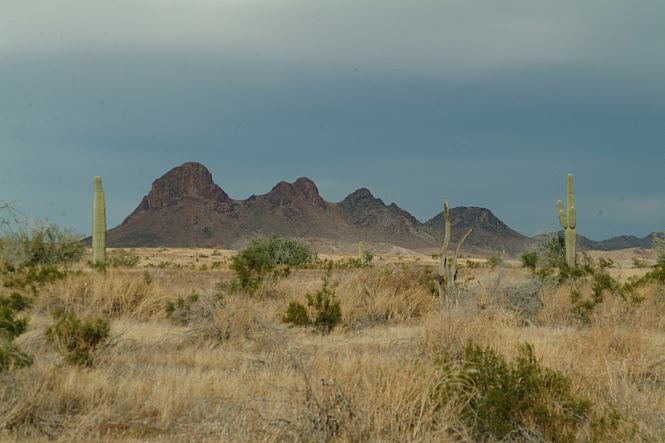
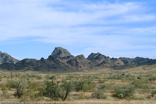
PLOMOSA ROAD ARCHES
QUARTZSITE SCENIC ROUTE
NATURAL ARCHES IN THE USA
|