|
|


|
Free campgrounds and camping |
|
Buck Creek Campground on Road#3348(near mile 9) Salmonids: IT IS YOUR RESPONSIBILITY TO
KNOW Squaw Lake At the junction of #3348 and #3358 (near mile
5) Wooden Rock Camp (at mile 12) Eden Valley Campground (before mile 15) ROAD #33 China Flat Recreation Area (near mile 52) ESTABLISHED CAMPGROUNDS |
DIRECTIONS:??? Showers at State Park Campgrounds
From I-5 take the exit to Riddle.
Continue on Cow Creek Road to
West Fork Road #32-8-1.1 which
turns into Walker Prairie Road 31-9-35.
Continue on Walker Prairie Road
Take a right at the junction of 32-8-31,
which turns into FS Road #3348.
Keep going towards Powers and
you'll find the campgrounds.
Showers at Laundry in Florence, OR
$2.00 for 8 minutes
Also see: BURNT
MOUNTAIN OREGON FREE CAMPGROUND MAP When in the area it is recommended to visit: CAMPGROUND INDEX
dispersedcampgrounds.com
Also see: CHINA FLAT
Also see: BUTLER BAR
Also see: EDEN VALLEY
Also see: LAIRD LAKE
Also see: PACKERS CABIN
Also see: PARK CREEK
Also see: ROAD#3358
Also see: ROAD
#1108
Also see: SOUTH
FORK ROAD
Also see: SQUAW LAKE
Also see: SUNSHINE BAR
Google Custom Map by Ian
Google custom map by Ian with most of the
free campgrounds in Oregon.
South Fork Chetco River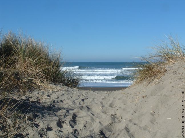
Highway 101, OR
Highway 101, OR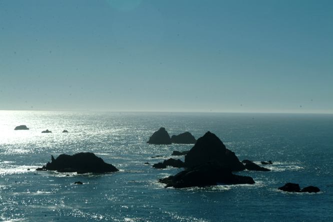
Hwy.101 near Brookings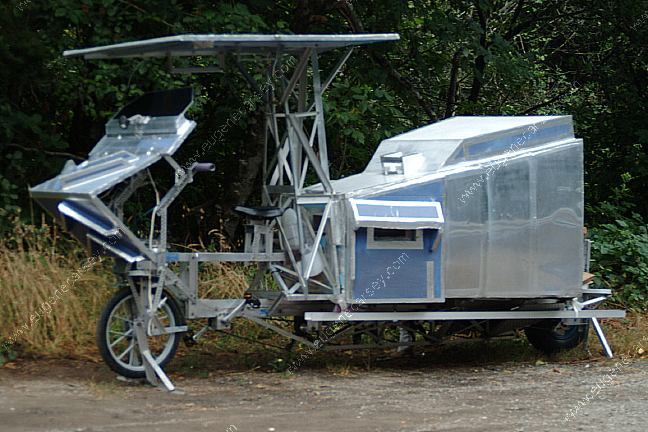
Custom motorhome... Hwy.101 near Brookings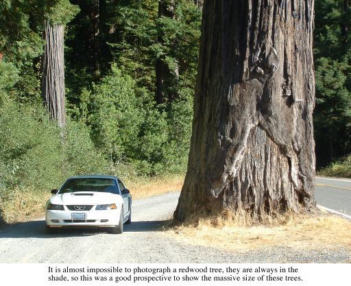
Newton B. Drury Scenic Parkway
JEDEDIAH SMITH REDWOODS STATE PARK
and HOWLAND HILL SCENIC DRIVE
(About 10 miles south from the Oregon Boarder)
Highly recommended to drive Howland Hill Scenic
Drive through Jedediah Smith Redwoods State Park.
Motor homes and trailers not recommended. No fees.
From Highway 199 near Hiouchi Information Center,
take South Fork Road about a mile and stay right
when the road splits. Road signs marking the way.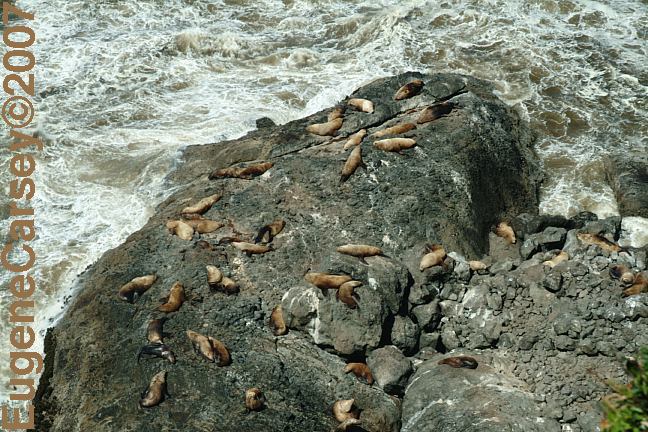
Sea Lions north from Florence, Oregon
Complete free campground listing
Free campgrounds and camping
OREGON CAMPGROUND DIRECTORY
BUCK CREEK CAMPGROUND
SISKIYOU NATIONAL FOREST
