|
DIRECTIONS:
The east entrance begins on Hwy 163
between Mexican Hat and Bluff.
The west entrance begins on Hwy 261
about 10 miles northeast of Mexican Hat.
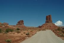
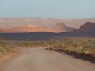
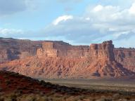
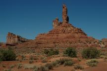
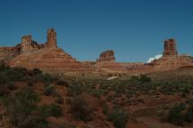
Valley of the Gods
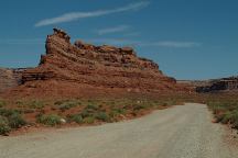
Valley of the Gods
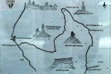
Map of Valley of the Gods Loop Road
ROAD CONDITIONS:
The road is 17 miles of dirt surface.
There are some flash flood areas.
Be aware of the weather forecast
We have drove this road with a passenger
vehicle without any problems, but there
are some areas that are prone to storm
damage and any risks will need to be
determined.
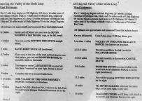
Valley of the Gods Loop Road
Mileage Chart and Information
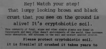
Cryptobiotic Soil Information
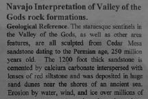
More Information and History
GOOSENECKS
STATE PARK
Just a couple miles west from Valley
of the Gods is Goosenecks State Park
and it is recommended to take the time
and check it out. There is a free campground
at Goosenecks State Park and we have
camped here many times.
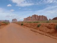
Monument Valley Navajo Park
While in the neighborhood be sure to
visit Monument Valley Navajo Park and
you won't regret. Famous photographs
that never seemed real become reality
and you will forever remember.
(Located in Arizona about an hours drive.)
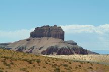
Goblin Valley State Park
Also see: BISTI WILDERNESS
Also see: BONELLI LANDING
Also see: CASTLE
ROCK
Also see: CATHEDRAL
VALLEY
Also see: CORAL PINK SAND DUNES
Also see: DEATH VALLEY / SALINE
Also see: DEATH
VALLEY / WILDROSE
Also see: GOBLIN
VALLEY
Also see: GOVERNMENT WASH
Also see: GOOSENECKS
STATE PARK
Also see: GREG'S
HIDEOUT
Also see: KOLOB
RESERVOIR
Also see: MEADOW VALLEY
Also see: MESA
ROAD
Also see: MOJAVE DESERT
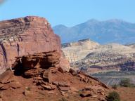
Cathedral Valley
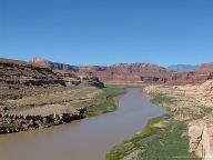
Glen Canyon
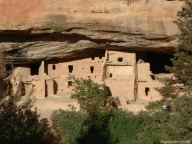
Mesa Verde National Park
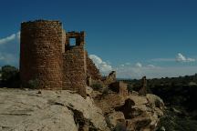
Hovenweep National Monument
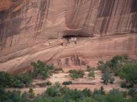
Canyon De Chelly
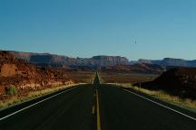
Glen Canyon
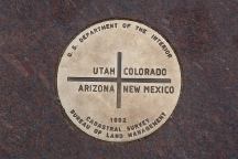
Four Corners Monument
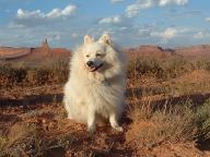
Cookie the Dog at Valley of the Gods
CAMPGROUND INDEX
Complete free campground listing
CAMPING ADVICE AND TIPS
TOURIST
PHOTOS

www.eugenecarsey.com
dispersedcampgrounds.com
Free campgrounds and camping
www.dispersedcampgrounds.com
UTAH CAMPGROUND DIRECTORY
VALLEY OF THE GODS
|


