|
|


|
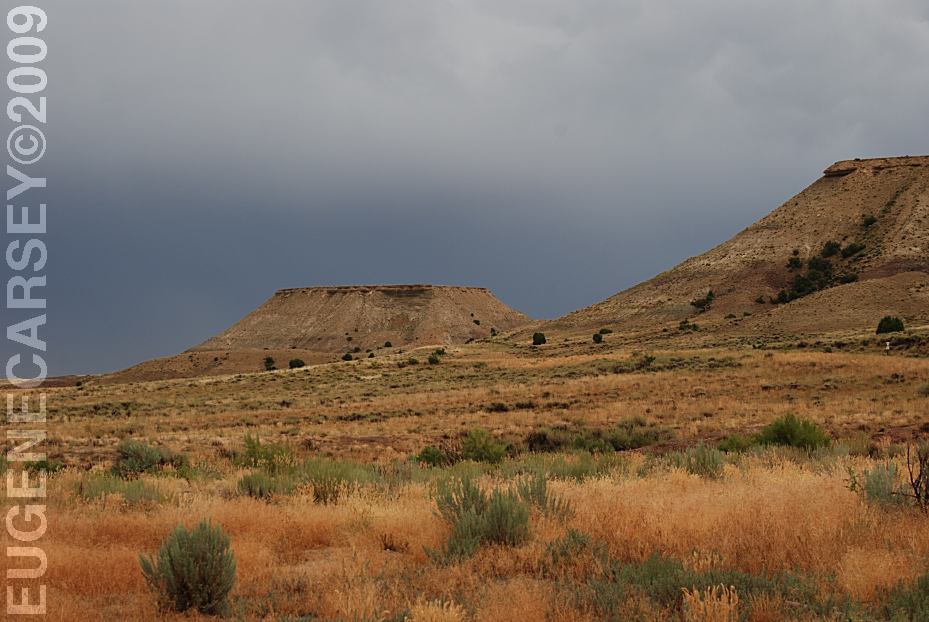
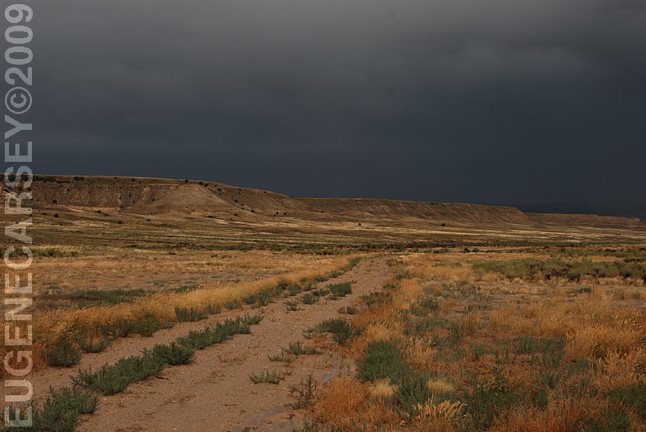
Free campgrounds and camping
Limited dispersed camp sites.
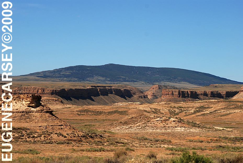
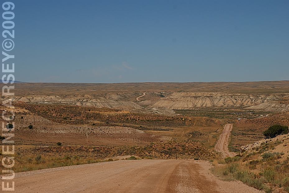
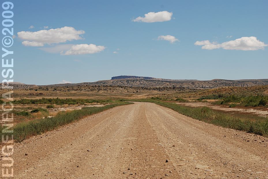
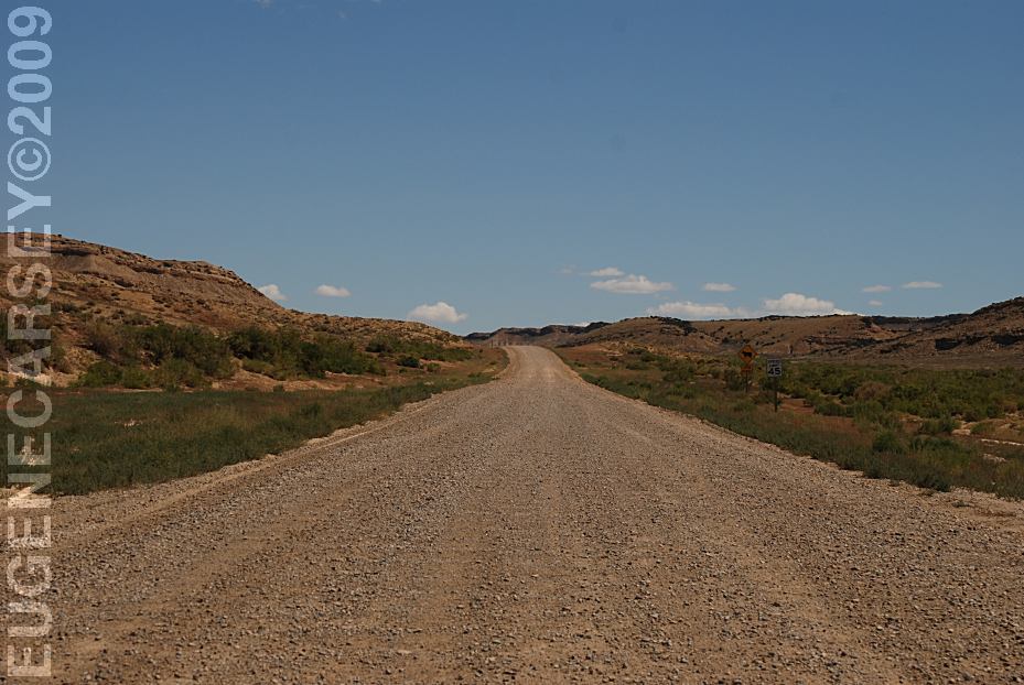
Even if you don't camp it is worth driving |

|
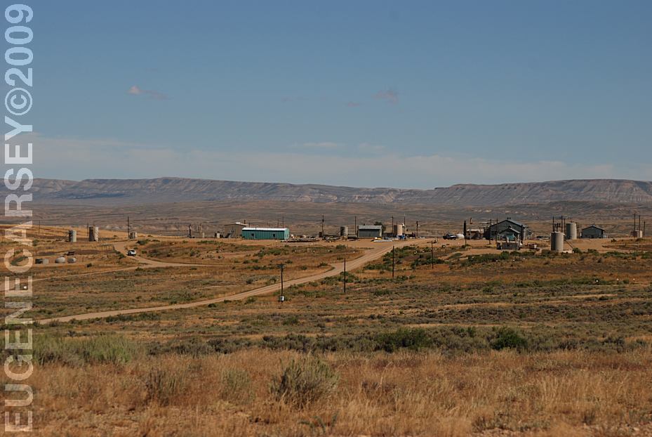
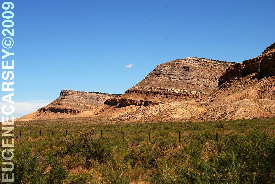
There are drilling operations throughout the
desert.
|
|
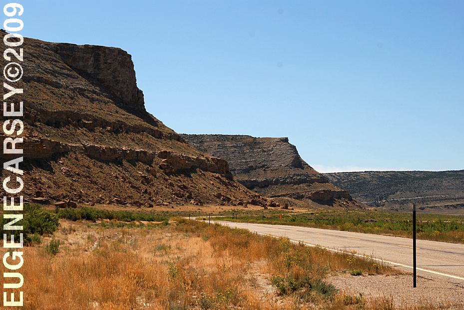
DIRECTIONS: From Craig, CO
ROAD CONDITIONS:
|
Also see: ALPINE LOOP ROAD CAMPGROUND INDEX
dispersedcampgrounds.com
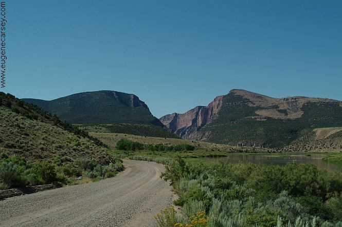
Road towards Gates Of Lodore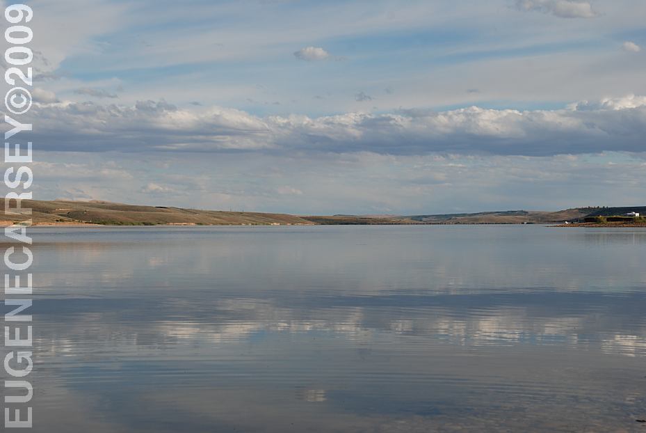
Lake Viva Naughton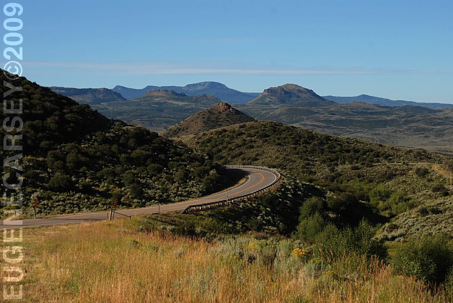
Hwy.70 / MP 21
Looking towards Baggs, WY
Also see: CATHEDRAL
VALLEY
Also see: GATES
OF LODORE
Also see: GRAND
MESA NFS / ROAD 121
Also see: LAKE VIVA NAUGHTON
Also see: MEDICINE
BOW NF / HWY 70
Also see: PINE CREEK SKI AREA
Also see: ROUTT
NF / BLACK MOUNTAIN
Also see: SOUTH
MINERAL CREEK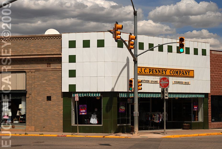
JC Penny Hometown and First Store
Kemmerer, WY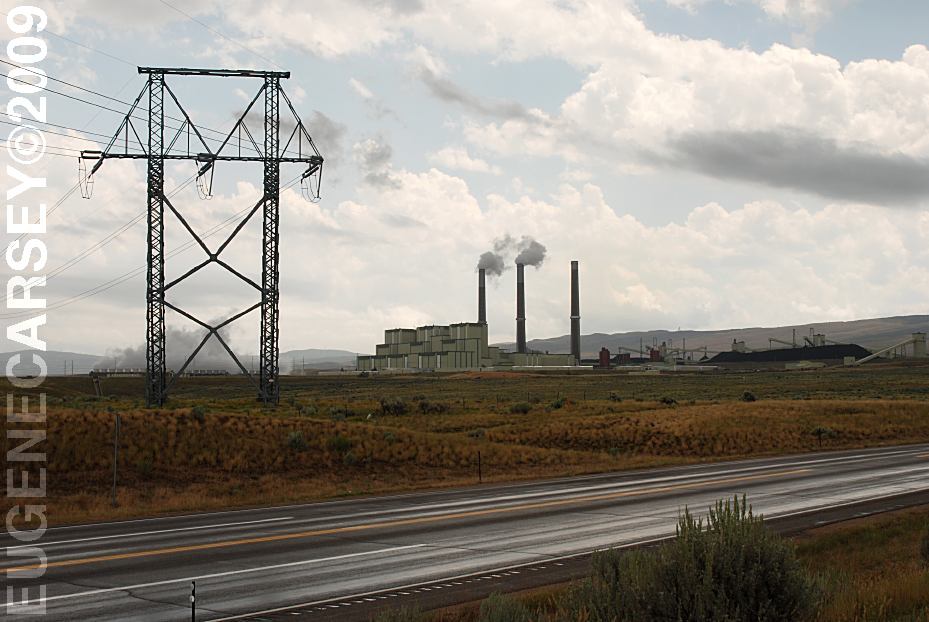
Craig Station on Hwy.550
(A couple miles south from Craig, CO)
The Craig Station burns about 5 million tons of coal annually
and produces enough electricity to meet power requirements
for 1.25 million residential customers. The cost to build Craig
Station was approximately 1.2 billion dollars.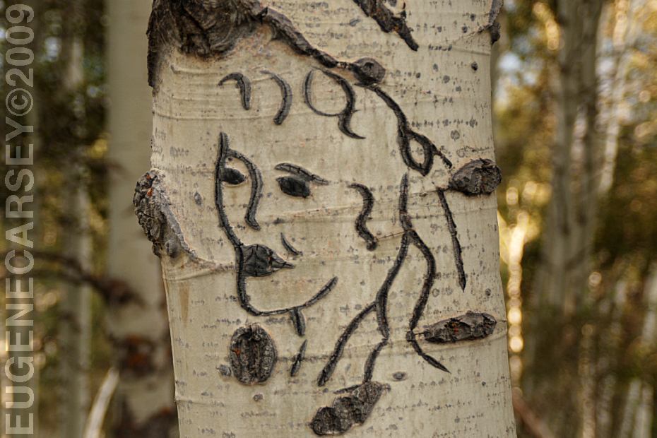
Carvings in the Aspen Trees
Medicine Bow National Forest
Complete free campground listing
Free campgrounds and camping
COLORADO CAMPGROUND DIRECTORY
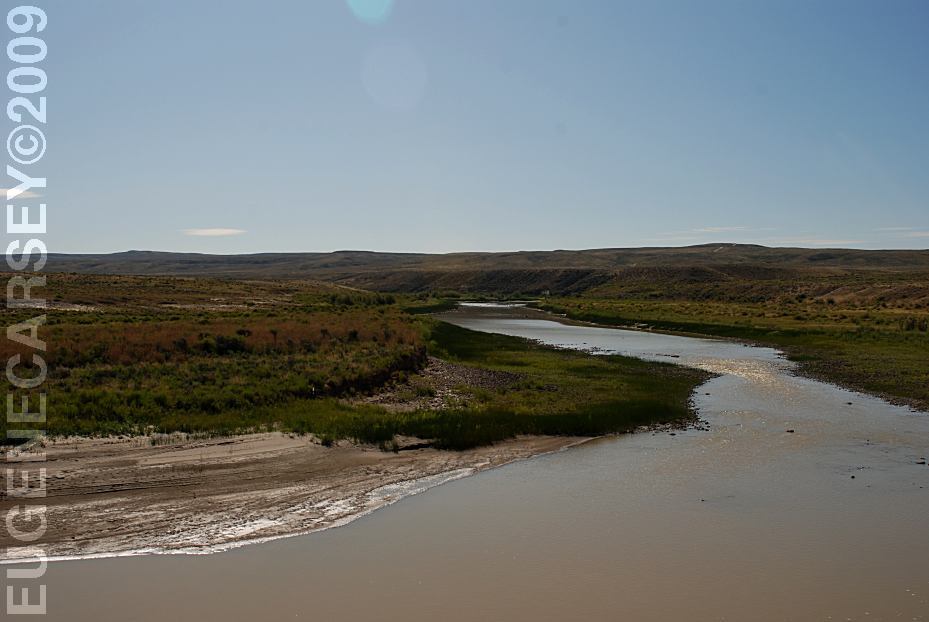
LITTLE SNAKE RIVER
MOFFAT COUNTY ROAD 4
