|
|


|
Free camping and campgrounds |
|
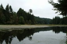
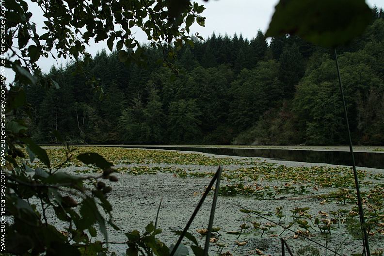
Dispersed campsites on the Five Mile Arm |


IT IS YOUR RESPONSIBILITY TO
KNOW
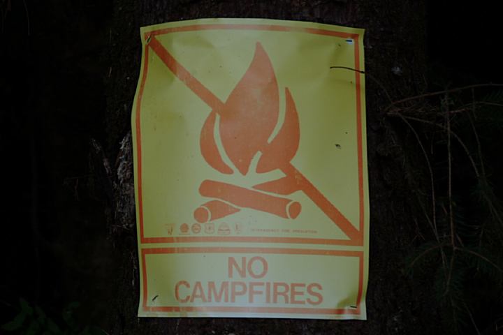
Signs posted at dispersed campsites
WHAT FIRE RESTRICTIONS ARE IN EFFECT
Axe, shovel, and 5 gallons of water recommended
and might be required. Fire extinguisher and
leather gloves are a good idea.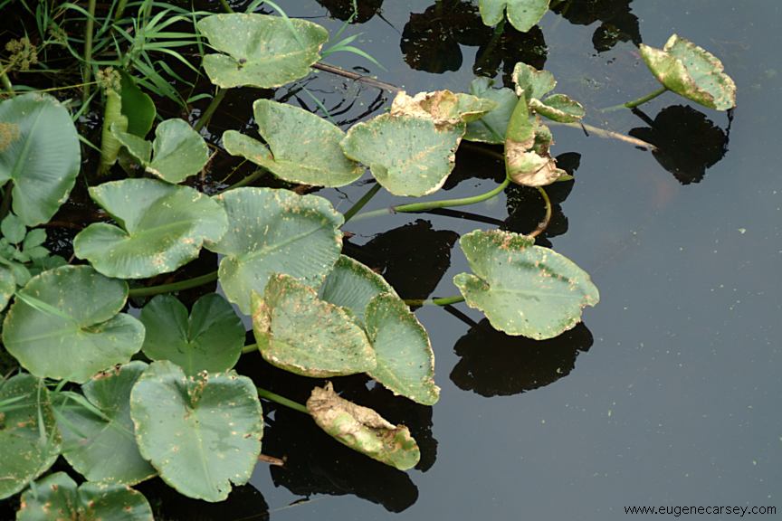
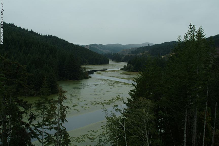
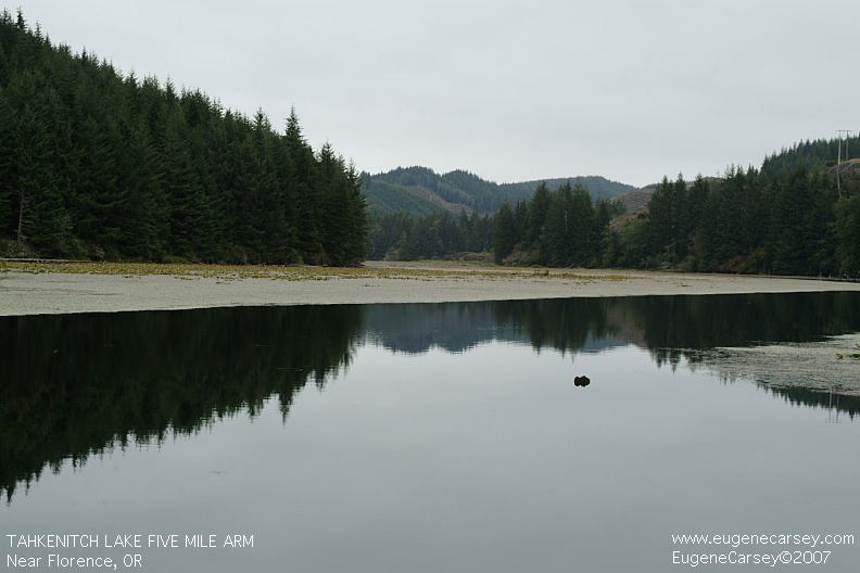
Five Mile Arm of Tahkenitch Lake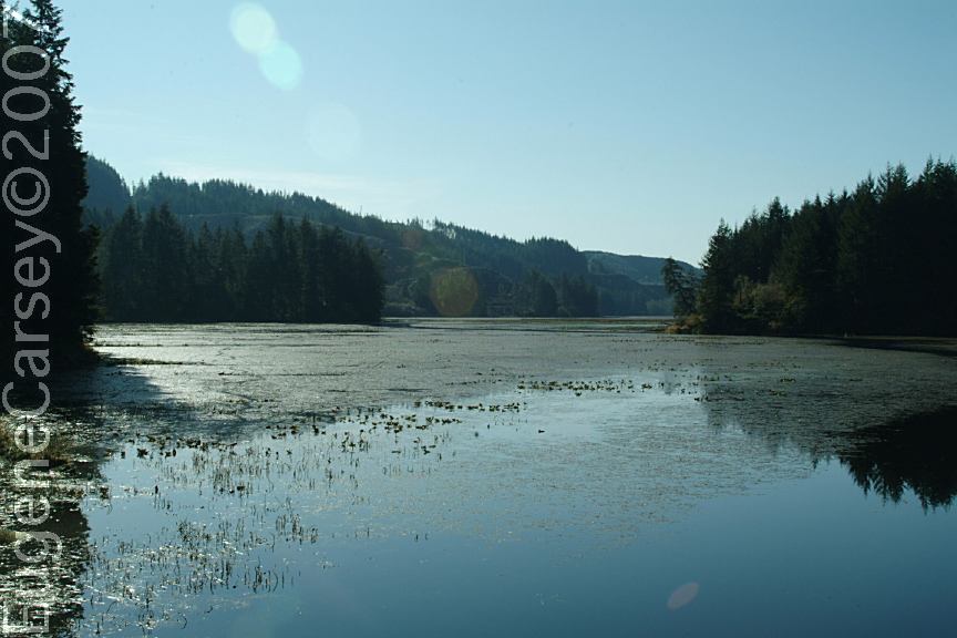
View from Campsite on Five Mile Road
DIRECTIONS: Can also be accessed from Canary Road ROAD CONDITIONS: Showers at State Park Campgrounds Blackberries are everywhere. Harvest season This whole area around Tahkenitch Lake HISTORIC SCHOOL SITE ADA LANE COUNTY PARK
From Florence, OR
Take Hwy.101 south 15 miles
(Between milepost 206 and 207)
Turn left on Five Mile Road / Road#49
Continue several miles and there are
a couple dispersed campsites along
Five Mile Arm of Tahkenitch Lake.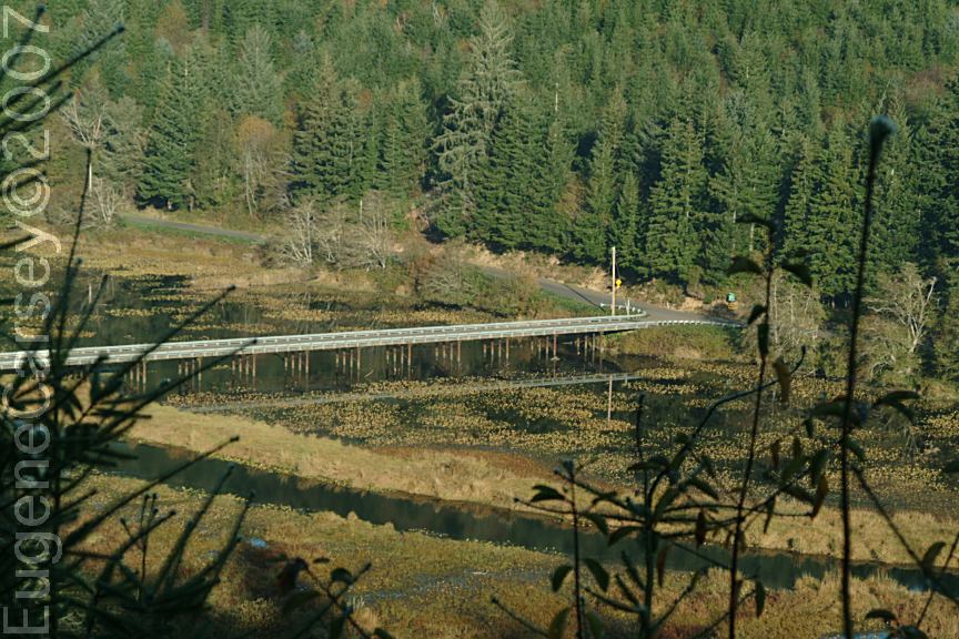
Canary Road South over the Bridge
(11 miles from Hwy.101)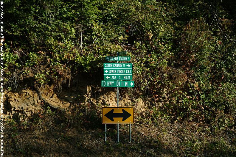
Sign at Jct. of Canary Road South and Fiddle Creek
The road is rougher and steep grades from
this direction.
From Florence, OR
Hwy.101 south for 2 miles
Turn on Canary Road
(Towards Siltcoos Station and Ada)
Continue for 11 miles
Turn left over the bridge (See photo above)
About 5 miles is the first campsite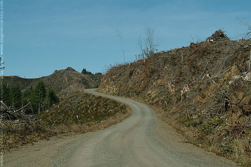
Five Mile Road
Logging operations completed in this area.
Narrow mountain roads...
Gravel and dirt surfaces
Watch for log trucks and equipment
Campsites can be muddy in bad weather.
Old Building on Five Mile Road / Road#49
Showers at Laundry in Florence, OR
$2.00 for 8 minutes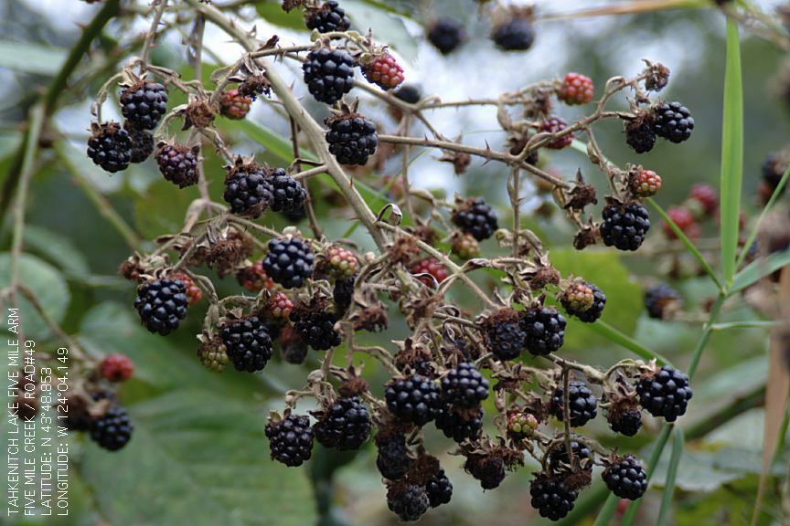
Blackberries... end of the harvest season.
Blackberries... end of the harvest season.
usually around the middle of August. (Above
photos from September)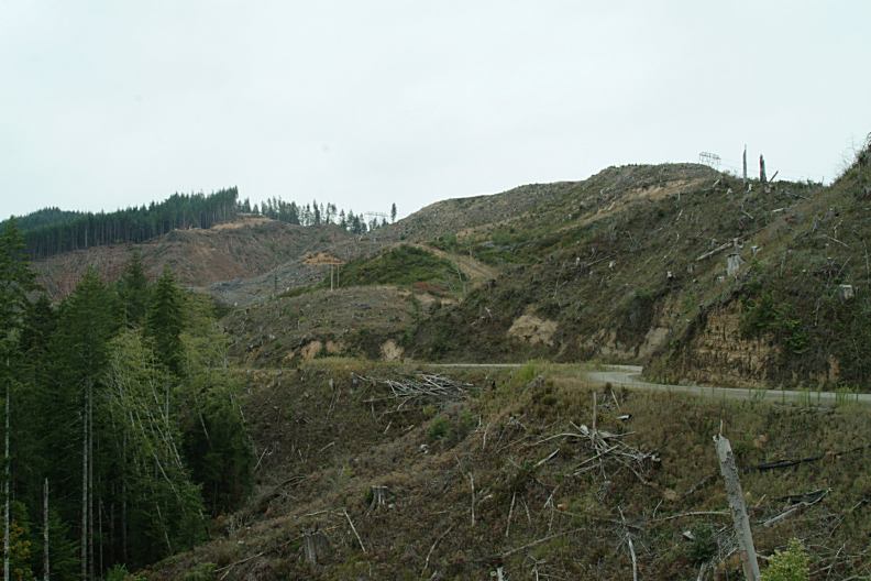
Tree Farm
Tree Farm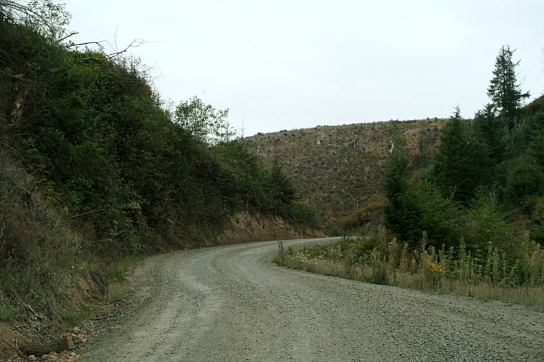
Tree Farm
Five Mile Arm is a "Tree Farm", which is
a sweet way of saying Logging Operations
and extreme clear cutting.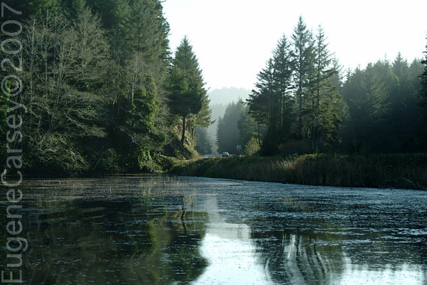
Tahkenitch Boat Ramp
Hwy.101 at MP 203
Tahkenitch Boat Ramp
Hwy.101 at MP 203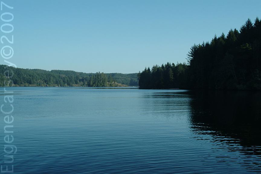
Tahkenitch Landing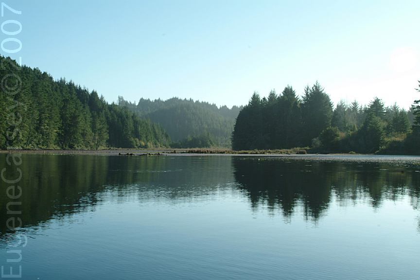
Tahkenitch Landing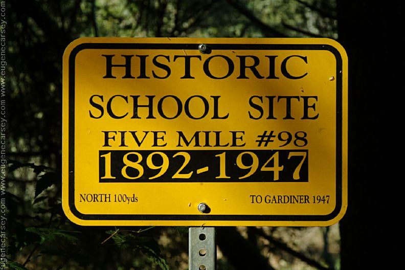
Sign at Historic School Site
Five Mile #98
1892-1947
Not sure of exact site location or if there
are any structures. 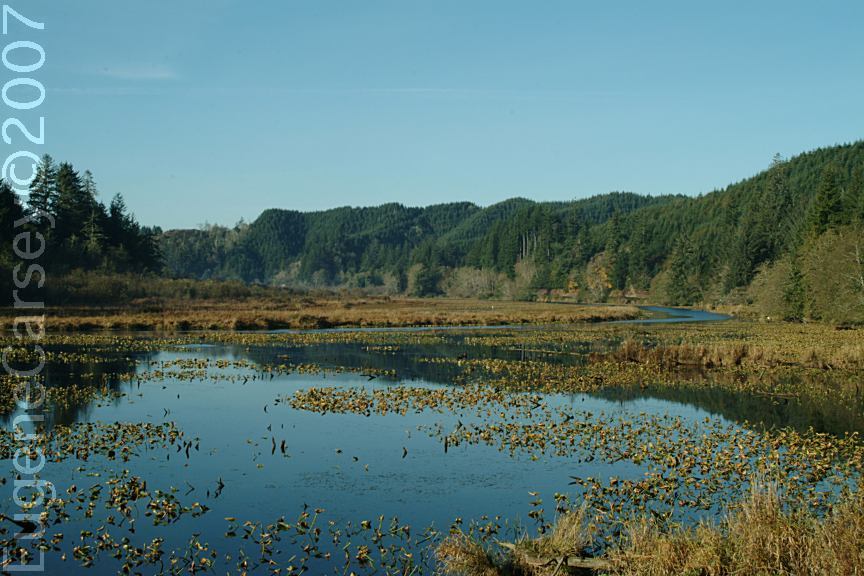
Fiddle Creek towards Ada Station
Ada Lane County Park and Boat Ramp
with a Train Bridge in the Background
LATITUDE: N 43°52.192
LONGITUDE: W 124°04.706
SPARROW PARK ROAD GLENADA ODD FELLOWS CEMETERY The above bridge eventually collapsed Also see: CHINA FLAT OREGON FREE CAMPGROUND MAP PHOTO HERE OREGON DUNES OVERLOOK PHOTO HERE PHOTO HERE Lots of birds from geese to mud hens... Mushrooms are in abundance... Camped here Sept. 12, 2007 CAMPGROUND INDEX dispersedcampgrounds.com
Sparrow Park Road Sand Access Point
Sparrow Park Road Sand Access Point
(Hwy.101 between milepost 107-108)
Sand Access Point about 4 miles
LATITUDE: N 43°44.898
LONGITUDE: W 124°10.773
Beach access and possible camping...
There were some giant and bizarre mushrooms.
Glowing Orange Sun from Elko Campground
Defused from Slash Burning
Glenada Odd Fellows Cemetery
LATITUDE: N 43°57.043
LONGITUDE: W 124°05.665
Oregon Pioneer Cemetery
First Known Burial 1895
From Florence, OR, take Hwy.101 south across
Siuslaw River Historic Bridge. Turn on Glenada
Road and cemetery is about a mile.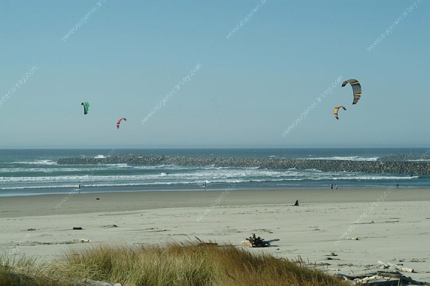
Wind Surfers at Siuslaw River South Jetty
Just south from Florence, OR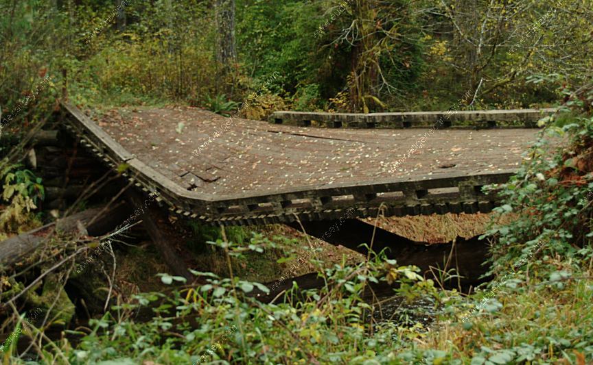
Bridge at Indian Creek Campground
Extreme Danger!!! The bridge has been
making noises in recent days. (Nov.11, 2007)
and will be posting new photos.
Also see: BUTLER
BAR
Also see: EDEN
VALLEY
Also see: ELKO
C.G.
Also see: INDIAN
CREEK
Also see: LAIRD
LAKE
Also see: NORTH
FORK
Also see: ROAD#3358
Also see: SQUAW
LAKE
Also see: SUNSHINE
BAR
Also see: UPPER LAKE CREEK
Google Custom Map by Ian
Google custom map by Ian with most of the
free campgrounds in Oregon.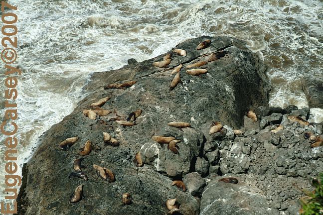
Sea Lions north from Florence, Oregon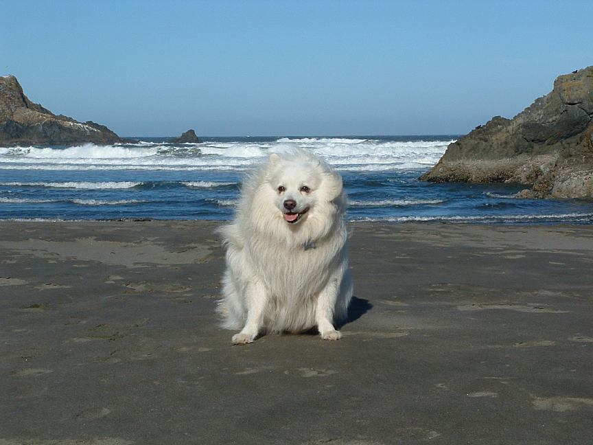
Cookie has been almost everywhere...
Not sure of this exact location of this photo.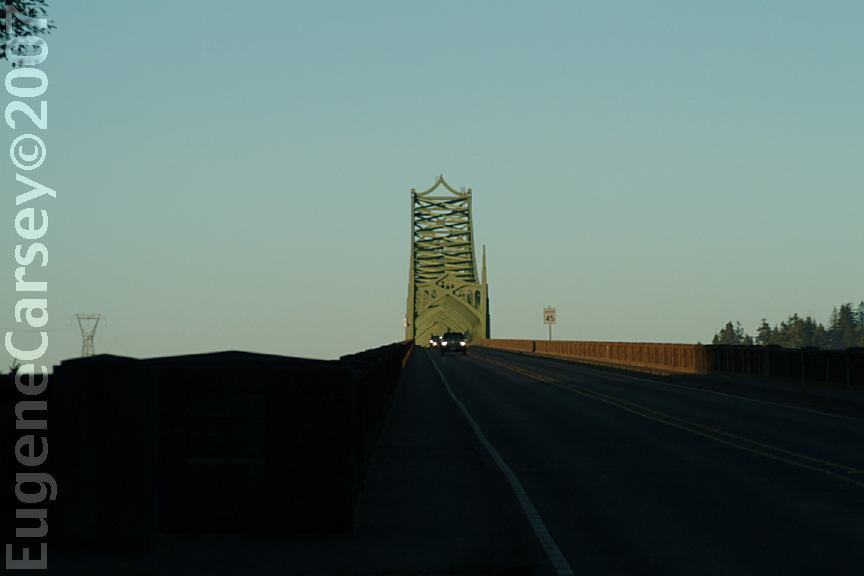
McCullough Memorial Bridge
Hwy.101 at MP 234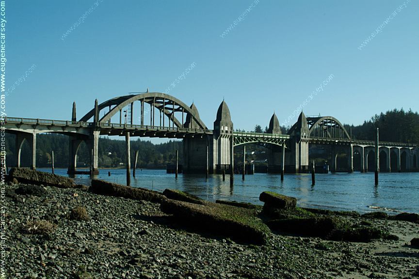
Port of Siuslaw Bridge
Hwy,101 south from Florence, OR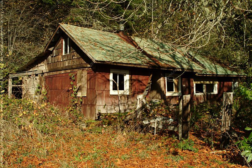
Old House
Highway 36 at Milepost#19
Old Paper Mill near Swisshome
Hwy.36 near Milepost 7
Old Paper Mill near Swisshome
Hwy.36 near Milepost 7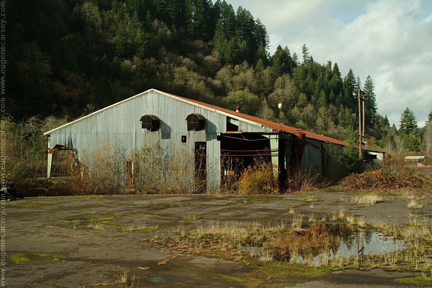
Old Lumber Mill near Swisshome
Hwy.36 near Milepost 7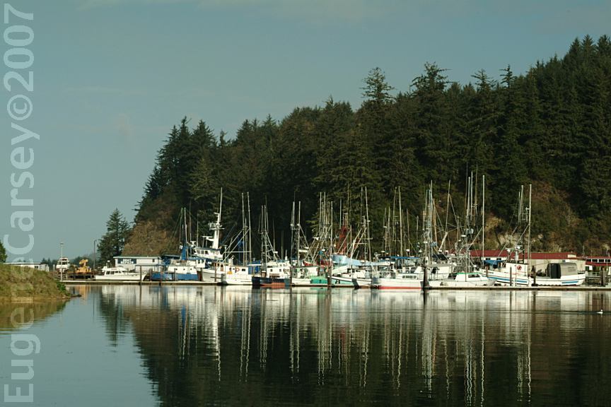
Winchester Bay
South from Florence, OR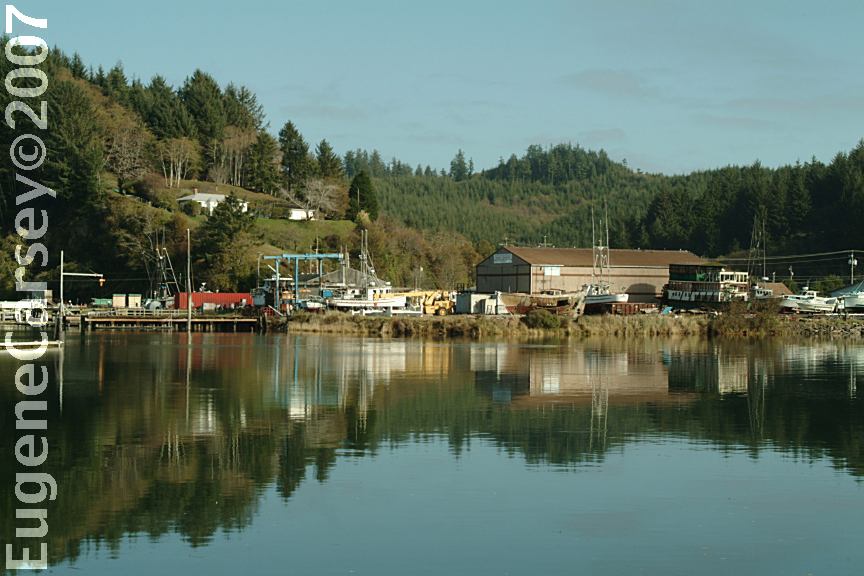
Winchester Bay
South from Florence, OR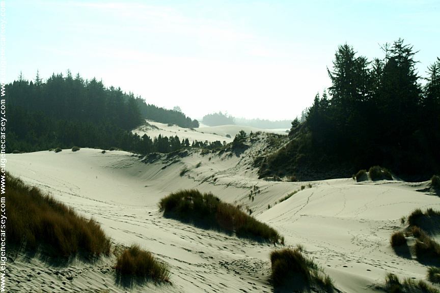
Oregon Dunes Overlook
Hwy.101 south from Florence, OR
LATITUDE: N 43°49.983
LONGITUDE: W 124°09.112
Winchester Bay
South from Florence, OR
Winchester Bay
South from Florence, OR
Hwy.101 Milepost 216
Umpqua Lighthouse State Park
Hwy.101 between MP 216-217
McCullough Memorial Bridge
Hwy.101 at MP 234
Oregon Dunes Overlook
Hwy.101 south from Florence, OR
LATITUDE: N 43°49.983
LONGITUDE: W 124°09.112
Sand Dunes north of Florence, OR
Easy access from behind Fred Myers
One of the few mechanics we allow to touch
our car is at "Muffler Works". While they
are busy installing new mufflers, we take a
couple hours walk through the sand dunes.
Umpqua River Lighthouse
Hwy.101 between Milepost 216-217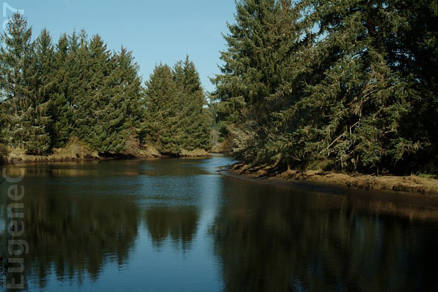
Bender Landing on North Fork Siuslaw Road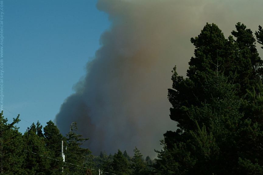
Slash Burn viewed from Florence, OR
Camped here Nov. 2, 2007
Camped here January 12, 2008
It snowed several times this year in Florence, OR.
Camped here December 12, 2008
It snowed at night and melted in the morning.
A big winter storm is predicted for the next
couple days. We headed south, but the weather
conditions progressively got worse and had to
wait out the storm near Cresent, CA.
Complete free campground listing
Free Campgrounds and Camping
TOURIST GUIDE and INFORMATION
OREGON CAMPGROUND DIRECTORY
TAHKENITCH LAKE FIVE MILE ARM
