|
Free campgrounds and camping
OREGON CAMPGROUND DIRECTORY
SIUSLAW NATIONAL FOREST
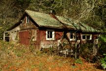
INDIAN CREEK CAMPGROUND
LATITUDE: N 44°05.857
LONGITUDE: W 123°48.201
Elevation: 280'
Dispersed and Primitive Camping
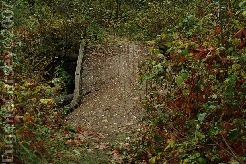
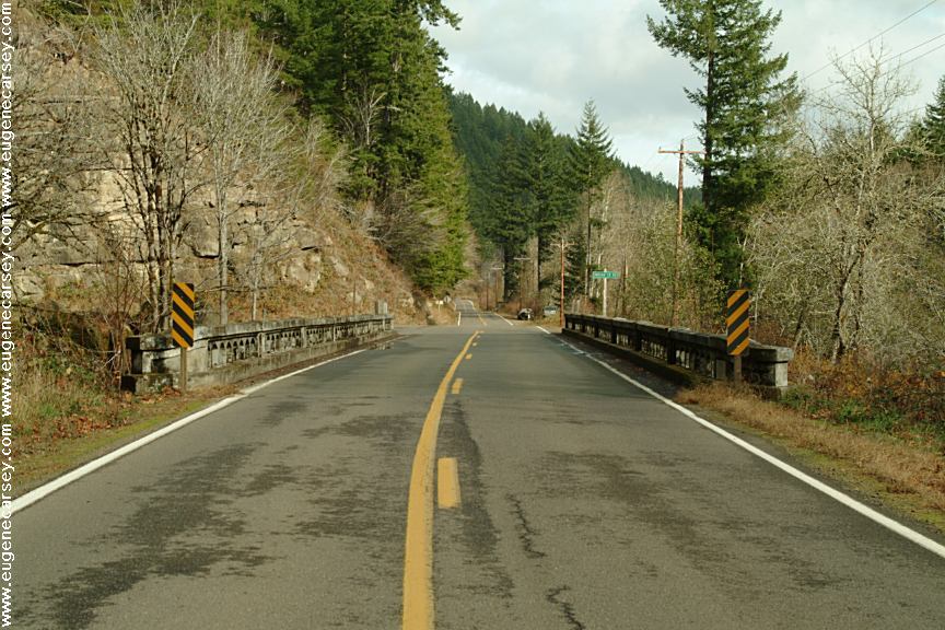
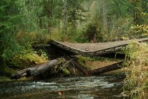
Bridge at Indian Creek Campground
Extreme Danger!!! The bridge has been
making noises in recent days.
Bridge at Indian Creek Campground
Extreme Danger!!! The bridge has been
making noises in recent days.
The bridge over Indian Creek has collapsed.
A couple years ago they dumped a load
of dirt to block the road. The bridge has become
more unstable and we expect total failure of the
structure this winter. (November 11, 2007)

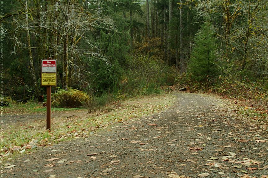
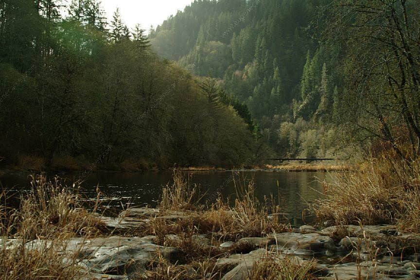
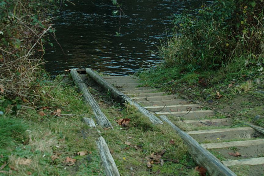
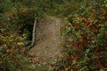
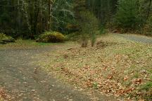
Indian Creek Campground
Road across Indian Creek.
(Bridge has collapsed and the road is closed)
The bridge has completely collapsed and washed
away. The only evidence are the footings on
the river banks. (2008)
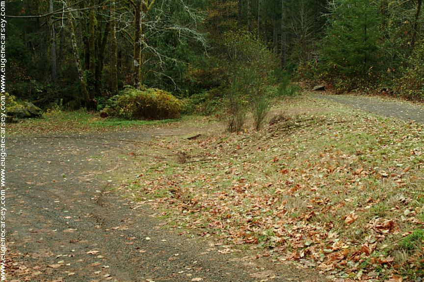
Indian Creek Campground
(Parking Area from Highway 36)
There are dispersed campsites about 1/4 mile,
but with the bridge collapse, access has been
blocked. There is still a parking area that you
can camp, but it is next to the road and less
attractive.
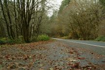
Indian Creek Road
Ran into a hillbilly straight out of the Ozark
Mountains. At first your considered trespassing
on their territory, but being part crazy ourselves,
ended up being the best of friends.
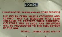
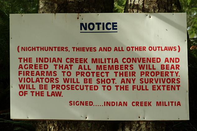
Indian Creek Militia Sign
Junction of Indian Creek Road and Thompson Creek Road
Notice: Nighthunters, Thieves and all other
Outlaws
The Indian Creek Militia Convened and Agreed that all
Members will bear Firearms to Protect Their Property.
Violators will be shot. Any survivors will be Prosecuted
to the Full Extent of the Law. We couldn't
explain it better...
just disagree with using the word "Outlaw". It should be
changed to the word Criminals.
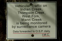
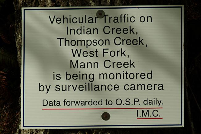
You are being monitored by surveillance cameras
and data is forwarded to the Oregon State Police.
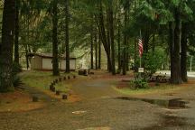
Schindler Park on Hwy.36
Near Indian Creek Road
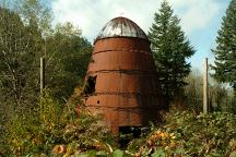
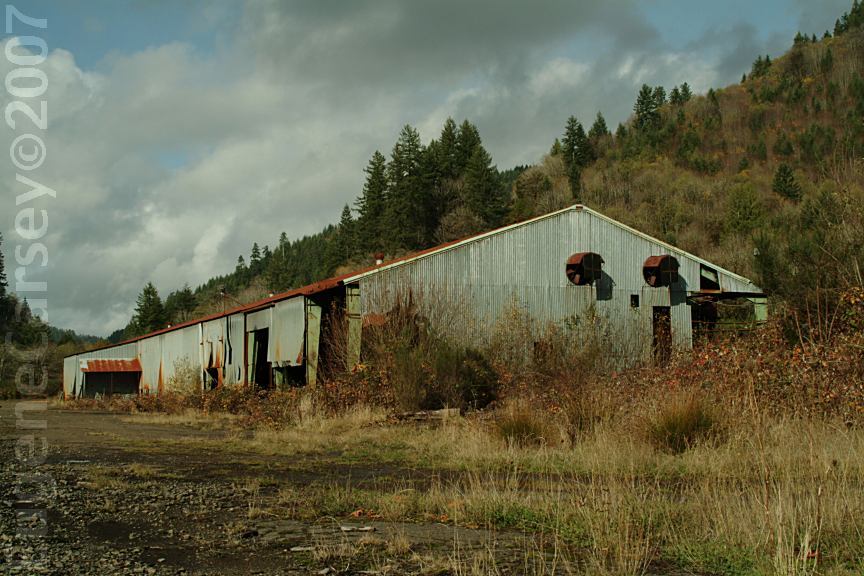
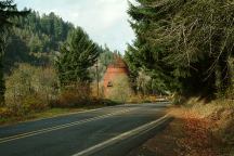
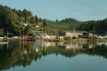
Old Paper Mill near Swisshome
Hwy.36 near Milepost 7
Old Paper Mill near Swisshome
Hwy.36 near Milepost 7
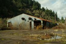
Old Lumber Mill near Swisshome
Hwy.36 near Milepost 7
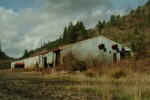
Old Lumber Mill near Swisshome
Viewed from different position and angles...
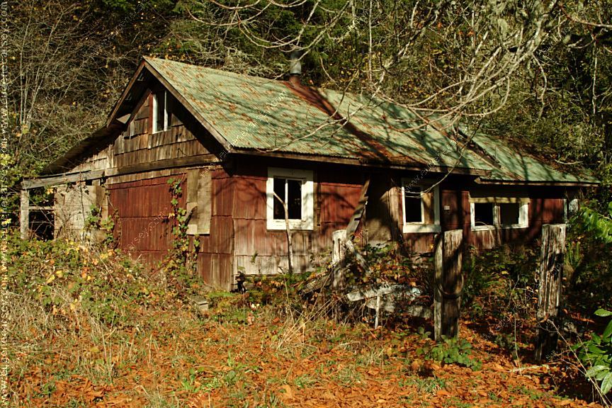
Old House
Highway 36 at Milepost#19
PHOTO HERE
Lake Creek Falls Mushrooms
PHOTO HERE
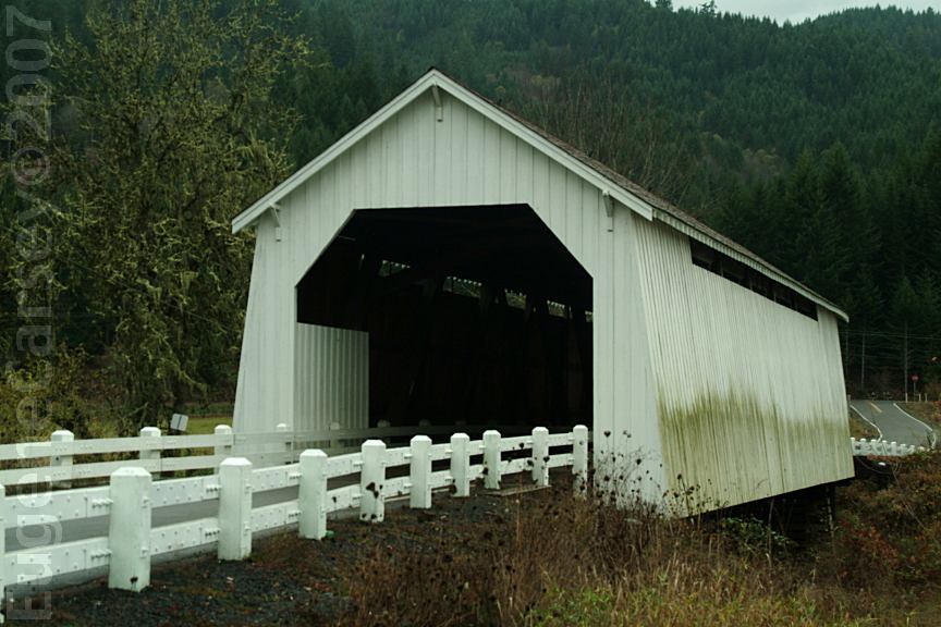
Fisher Covered Bridge

Hayden Covered Bridge
Hwy.34 near MP 38-39
About 2 miles west from Alsea, OR
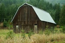
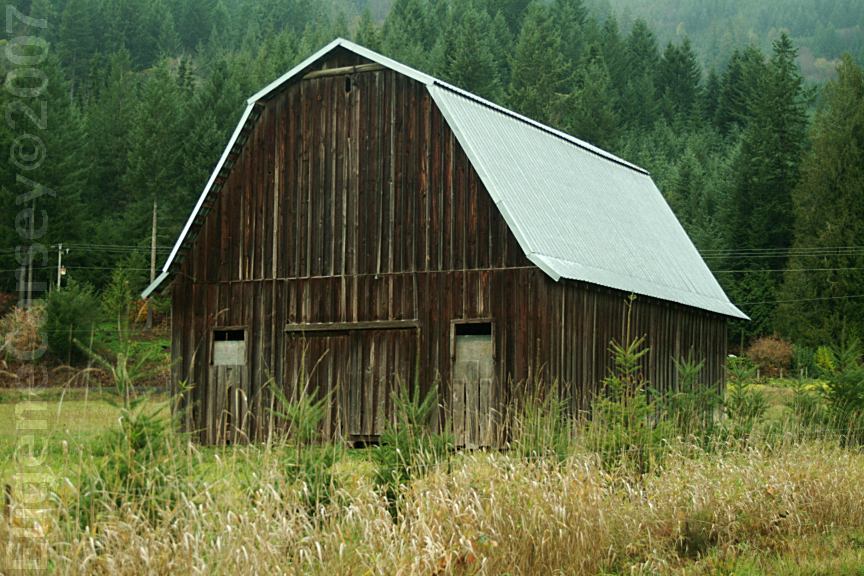
Barn near Hayden Covered Bridge
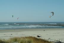
Wind Surfers at Siuslaw River South Jetty
Just south from Florence, OR
Tahkenitch Boat Ramp
Hwy.101 at MP 203
Tahkenitch Landing
Hwy.101 at MP xx
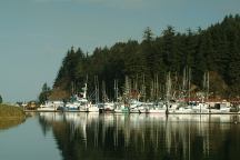
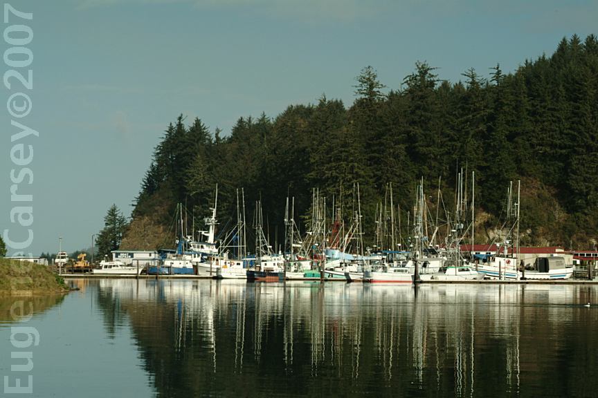
Winchester Bay
South from Florence, OR
Winchester Bay
South from Florence, OR
PHOTO HERE
Umpqua Lighthouse State Park
Hwy.101 between MP 216-217

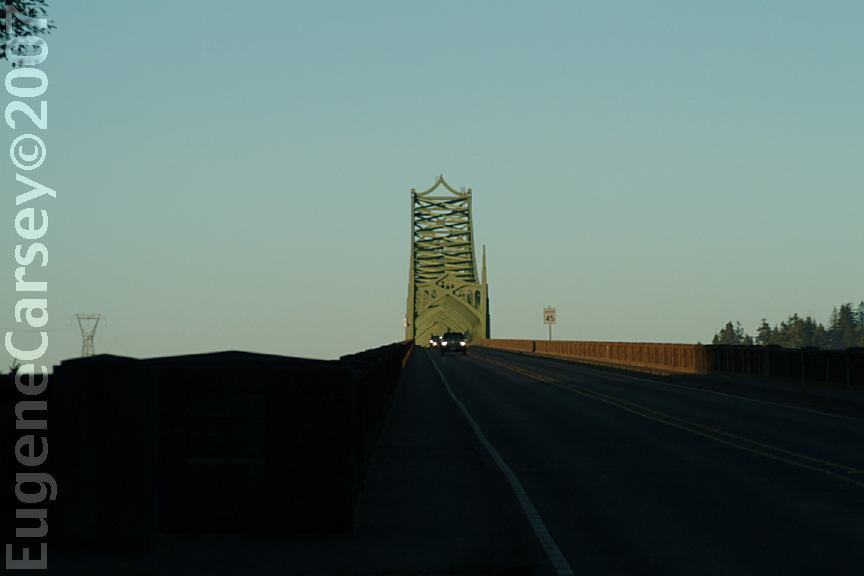
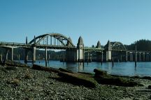
McCullough Memorial Bridge
Hwy.101 at MP 234
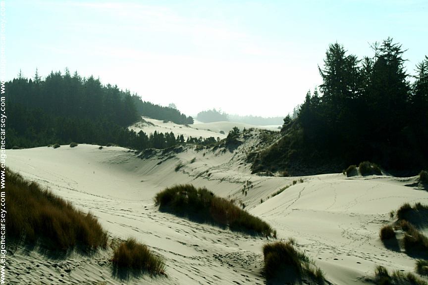
Oregon Dunes Overlook
Hwy.101 south from Florence, OR
OREGON DUNES OVERLOOK
LATITUDE: N 43°49.983
LONGITUDE: W 124°09.112
Hwy.101 Bridge over
Mountains viewed from Stonefield Beach
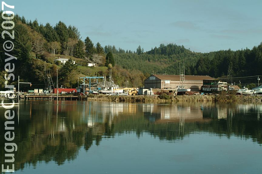
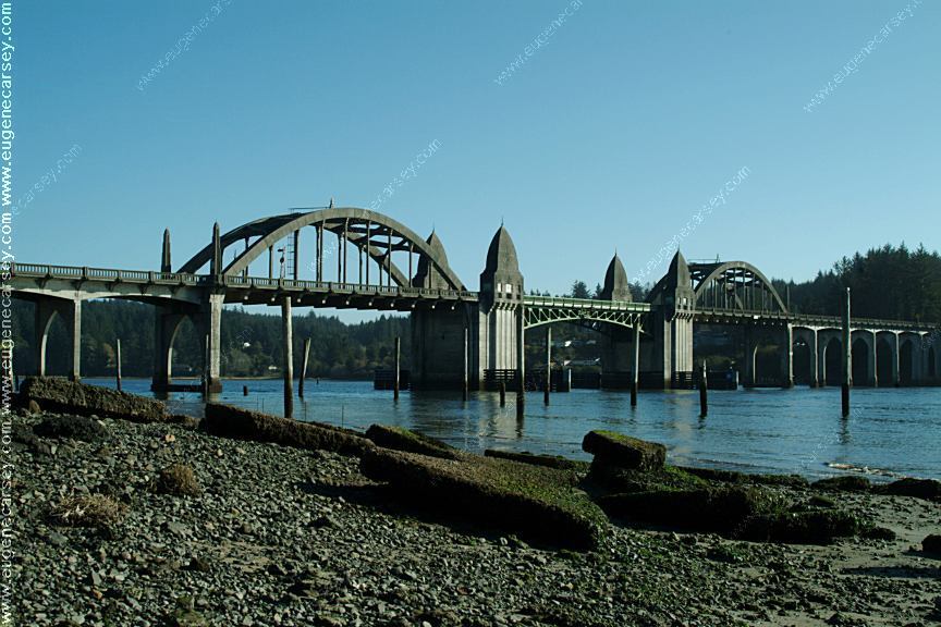
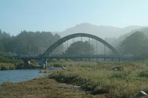
Port of Siuslaw Bridge
Hwy,101 south from Florence, OR
PHOTO HERE
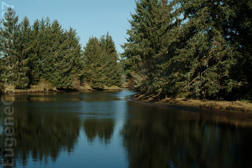
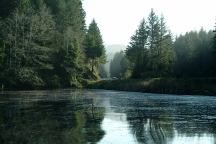
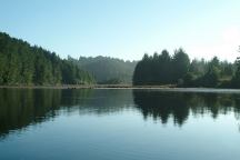
North Fork of the Siuslaw River
Viewed from North Fork Campground
PHOTO HERE
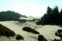
Sand Dunes north of Florence, OR
Easy access from behind Fred Myers
One of the few mechanics we allow to touch
our car is at "Muffler Works". While they
are busy installing new mufflers, we take a
couple hours walk through the sand dunes.

Bender Landing on North Fork Siuslaw Road

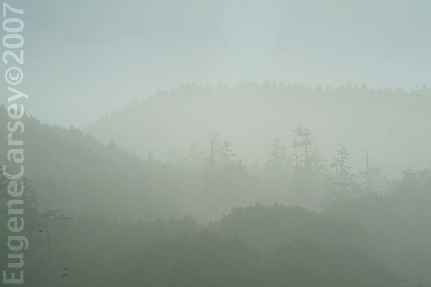
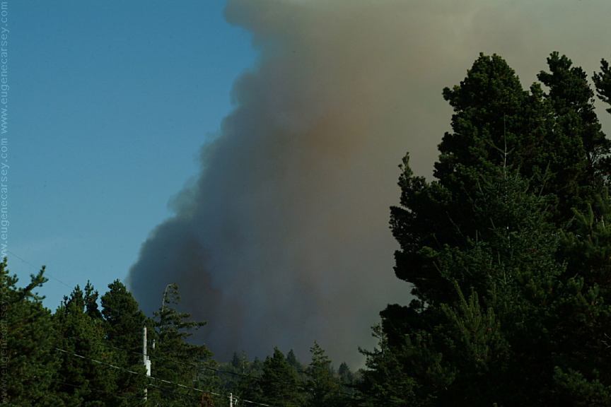
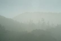
Slash Burn viewed from Florence, OR

Glenada Odd Fellows Cemetery
GLENADA ODD FELLOWS CEMETERY
LATITUDE: N 43°57.043
LONGITUDE: W 124°05.665
Oregon Pioneer Cemetery
First Known Burial 1895
From Florence, OR, take Hwy.101 south across
Siuslaw River Historic Bridge. Turn on Glenada
Road and cemetery is about a mile.
|