|

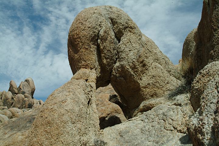
Before Hippie Cave Arch
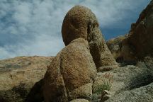
Before Hippie Cave Arch
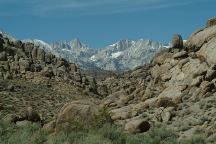
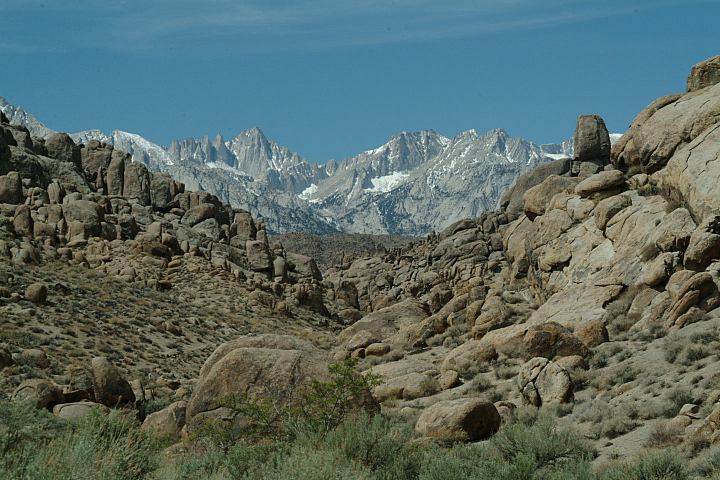
View looking west from Before Hippie Cave Arch
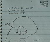
BEFORE HIPPIE CAVES
In the Tuttle Creek Road area...
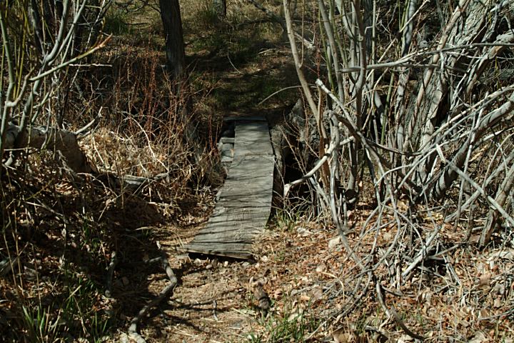
On the path towards Hippie Caves.
Near Hippie Cave you can find dozens of
small sized arches.
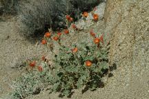
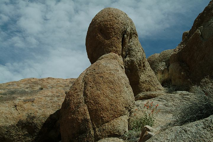
Flowers at Before Hippie Cave Arch
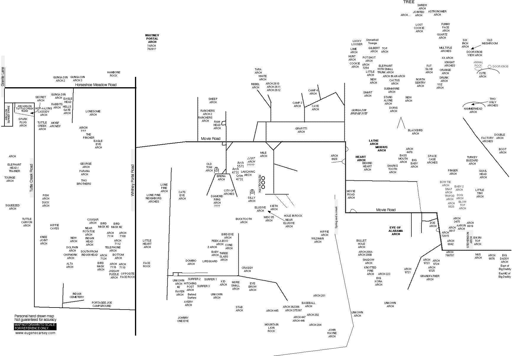
ROCK FORMATIONS and LANDMARKS
Landmarks to help locate Hippie Cave Arch...
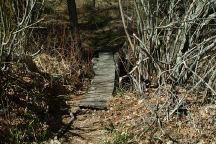
Bridge towards Hippie Caves
DIRECTIONS:
From Lone Pine, CA / Hwy.395
(At the only stop light in town)
Turn west on Whitney Portal Road
1/2 mile turn left on Tuttle Creek Road
(Towards Portagee Joe Campground)
Continue on Tuttle Creek Road for xx miles
Park at the pullout to the right
There is a bridge over the creek
Follow the trail west about 1/2 mile...
ROAD CONDITIONS:
Tuttle Creek Road is paved surface...
not the best condition. Narrow road
not recommended for vehicles over...
MAP
Map of Alabama Hills Arches
PHOTO HERE
Satellite Image of Before Hippie Cave Arch
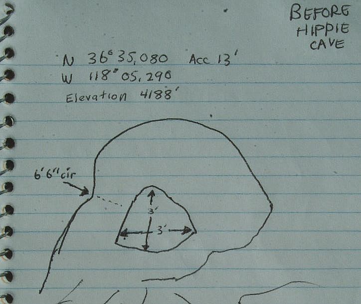
MEASUREMENTS OF ARCH:
Arches measured at the smallest opening
Detailed Measurements of Before Hippie Cave Arch
Grid measurements available in future release
|


